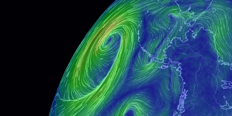
Eastern Atlantic Tropical Storm Activity Picking Up?
Looking at Nullschool’s weather visualiser, it looks as if storm activity may be picking up.
This is based on activity at the extreme of the forecast period (September 8th, five days out), but there looks to be a likely well-formed Cape Verde system developing, along with another two smaller systems further west.
This is all pretty speculative, though the systems should begin developing on the 5th as a swirl breaks off of the western Sahara.
Tracks are anyone’s guess, and these could swing north into the Atlantic, slam into the Yucatan, or go pretty much anywhere between. But keep an eye out.
Western Atlantic and Gulf of Mexico sea surface temps are high, so storm intensity should a system reach there, will likely be high.
The linked view is currently highlighting the largest, eastmost storm, in mean sea-level ressure (MSLP) view. The green circle is over the projected eye location as I post this, forecast/actual track will deviate from this as we approach September 8, 2020.

There are no comments yet.