Wanderung Nationalpark Eifel (Themenweg T3)
Die Wanderung war toll, es war nicht viel los, was sicher auch daran lag, dass der Laut Beschreibung vollständig markierte Weg vor allem am Anfang gar nicht markiert war. Da der Weg anfangs nicht markiert war, sind wir den Rundweg wohl in der anderen Richtung gestartet, dadurch sind dann die Wegweise nicht immer gut sichtbar (da nur von einer Richtung zu sehen und nur in eine Richtung zeigend (also an einer Kreuzung zeigte der Pfeil dann immer dort hin wo wir herkamen).
Trotzdem kann ich den Weg sehr empfehlen, ggf. einfach mit der GPX-Datei unten laufen, dann ist die schlechte Ausschilderung kein Problem. In OSM (OpenStreetMap) sind Fledermaushölen eingezeichnet, aber wir haben den Abstecher ausgelassen, da wir davon ausgehen, das es maximal vergitterte Eingänge sind die man dort sehen könnte. Vielleicht müsste man da einfach mal bei Sonnenuntergang hingehen?
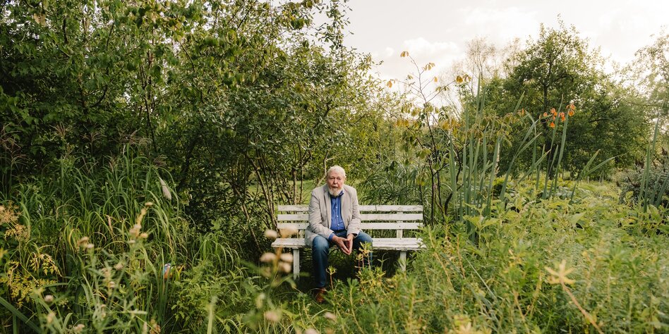
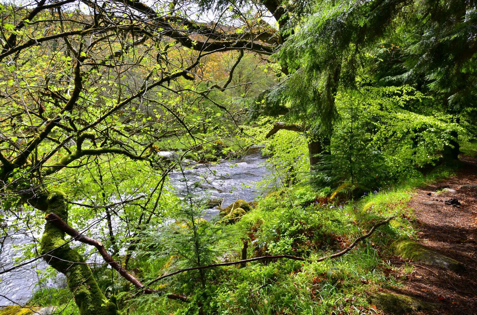
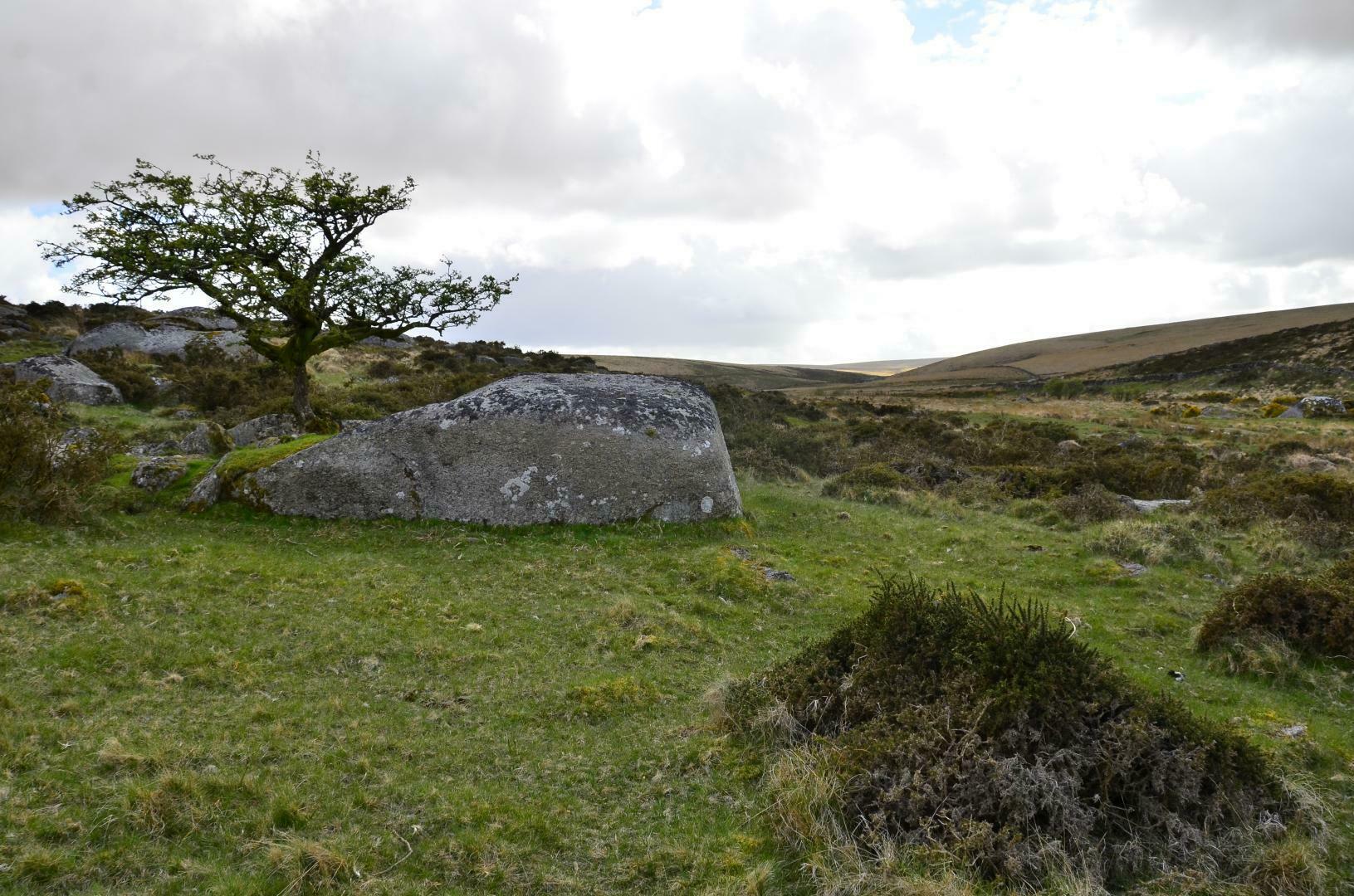
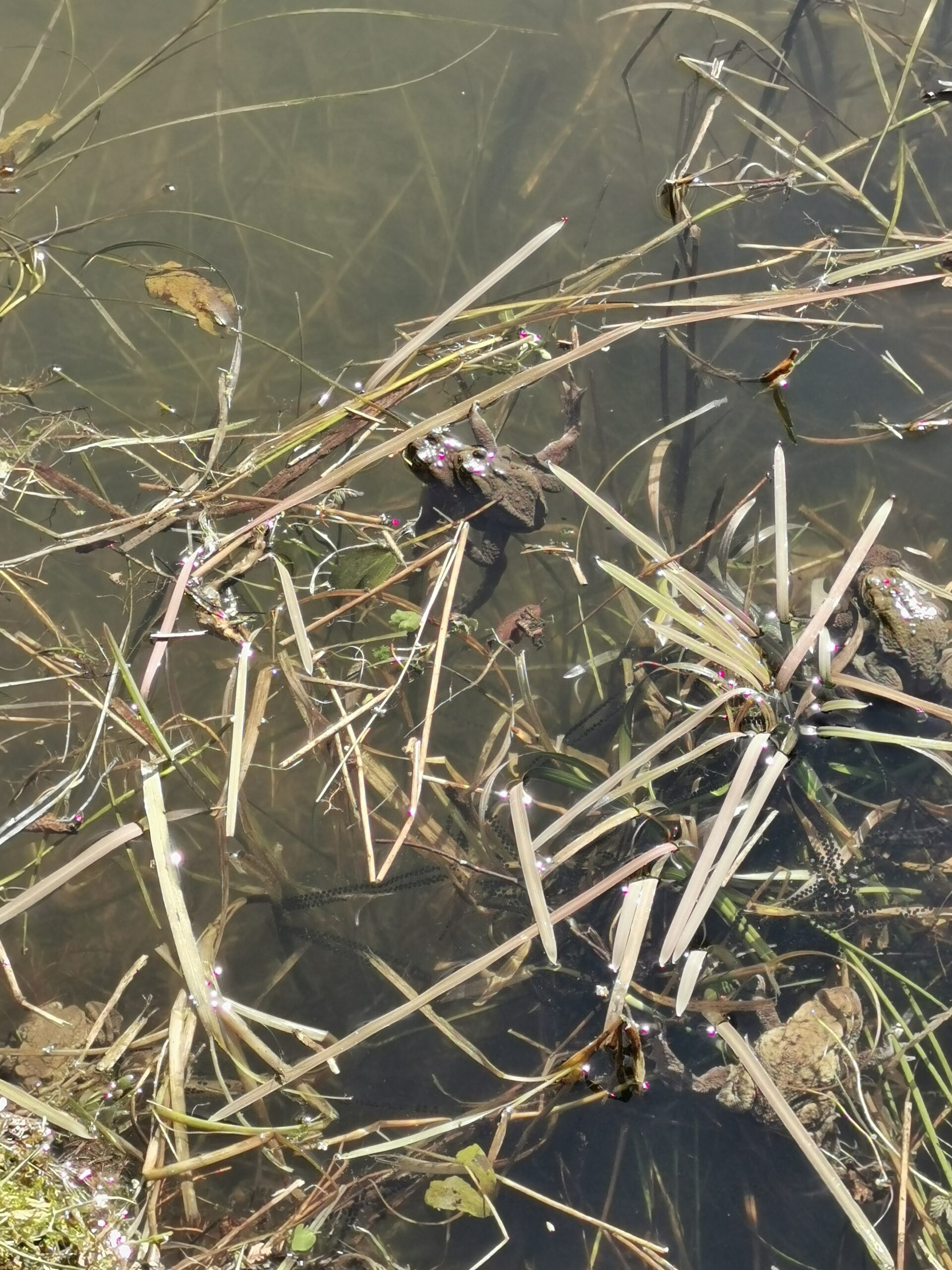
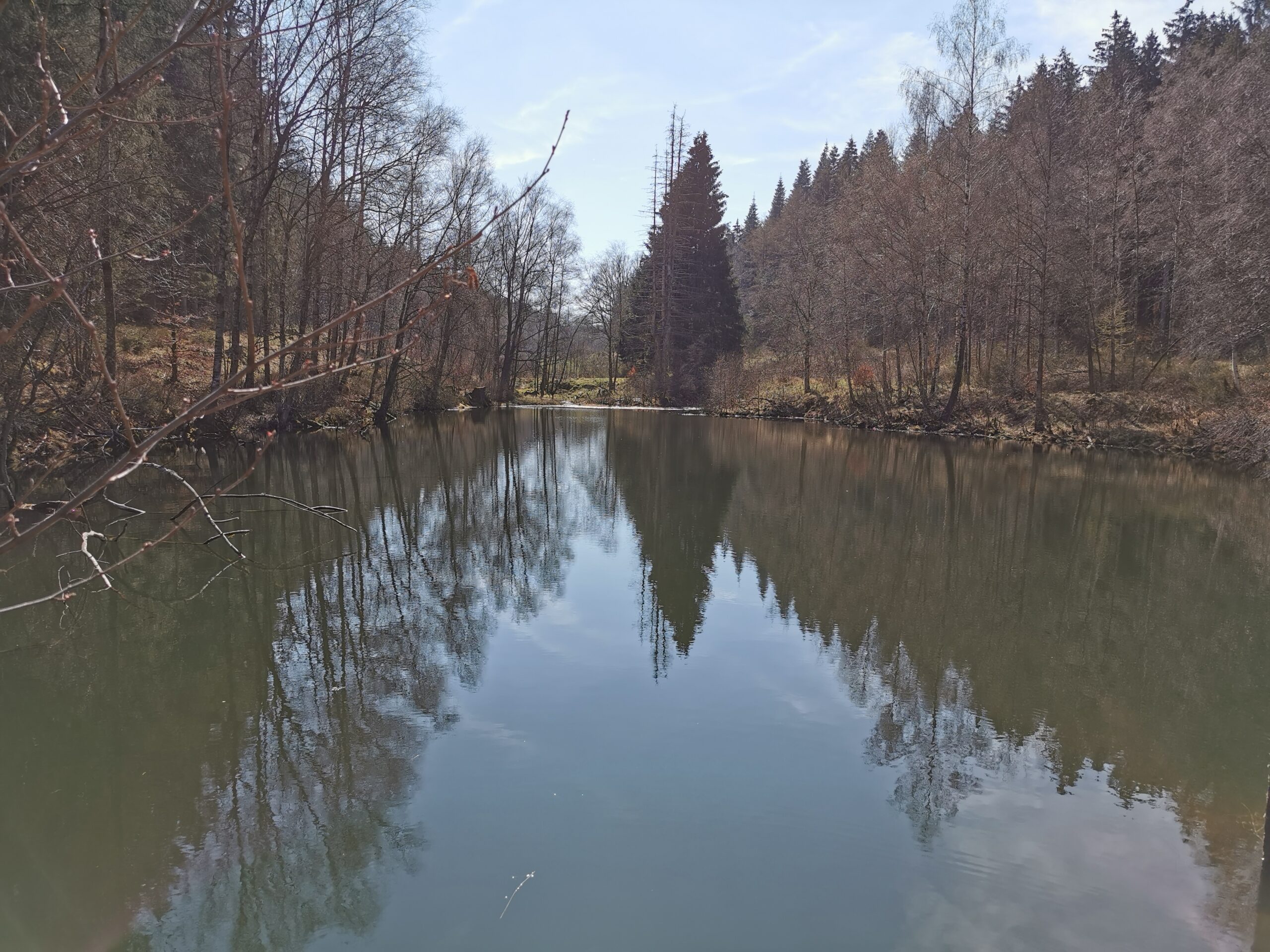
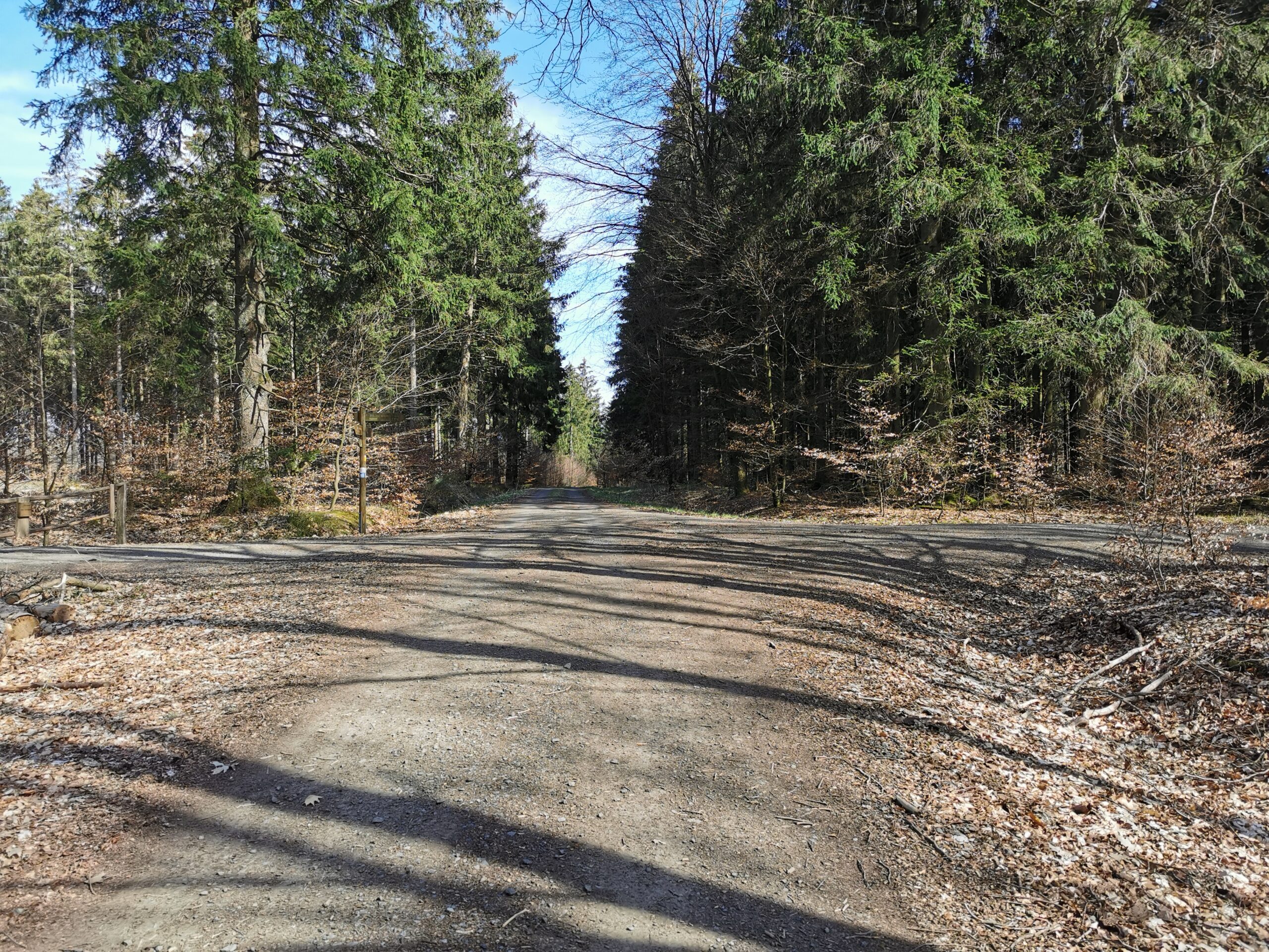
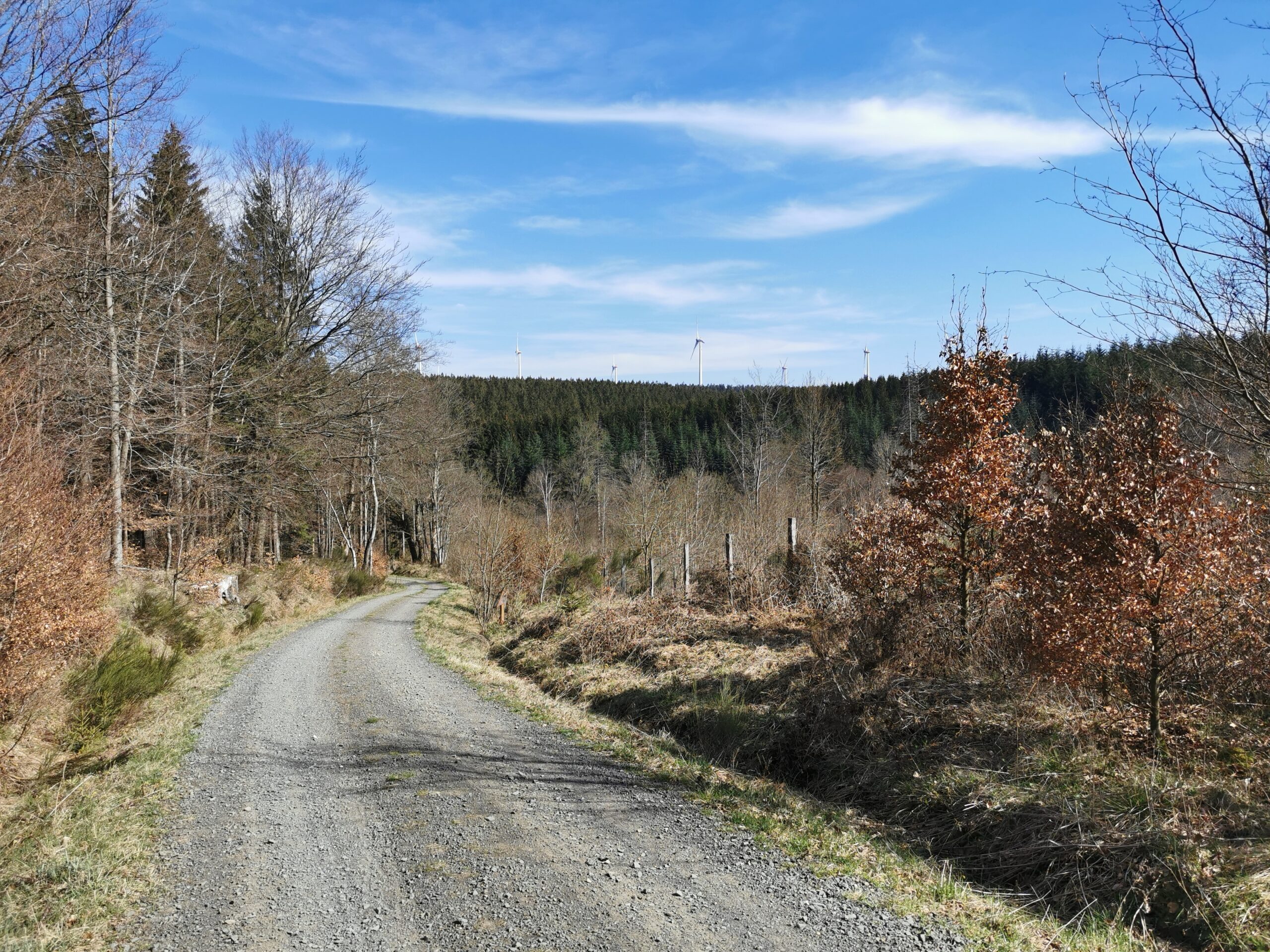
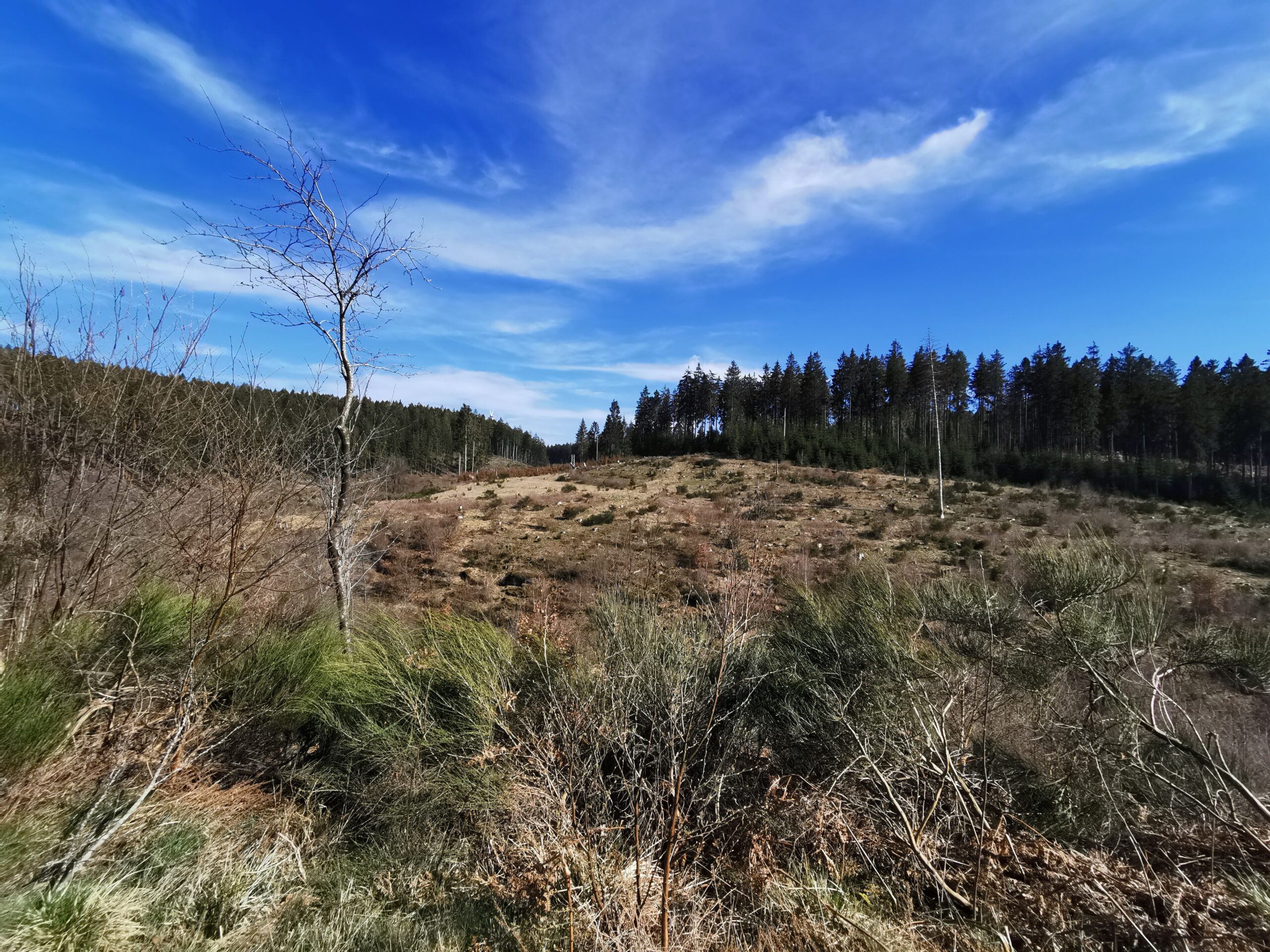
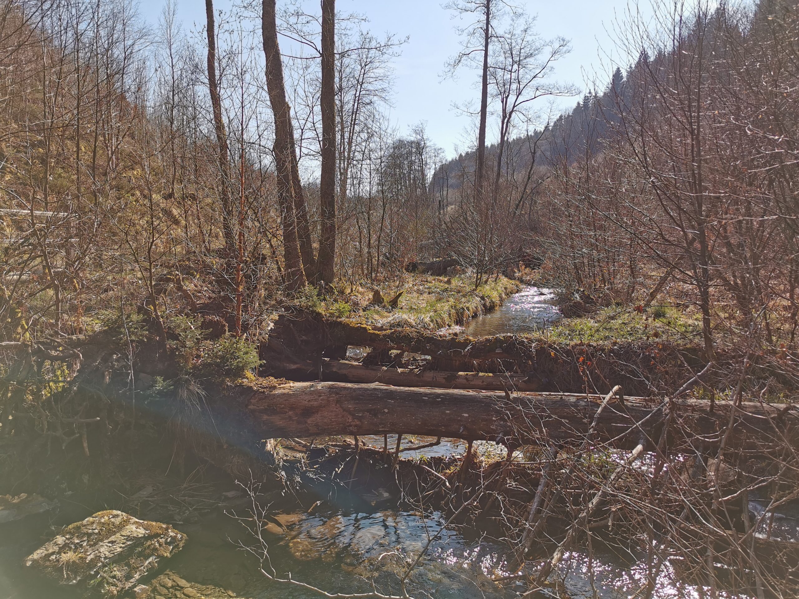
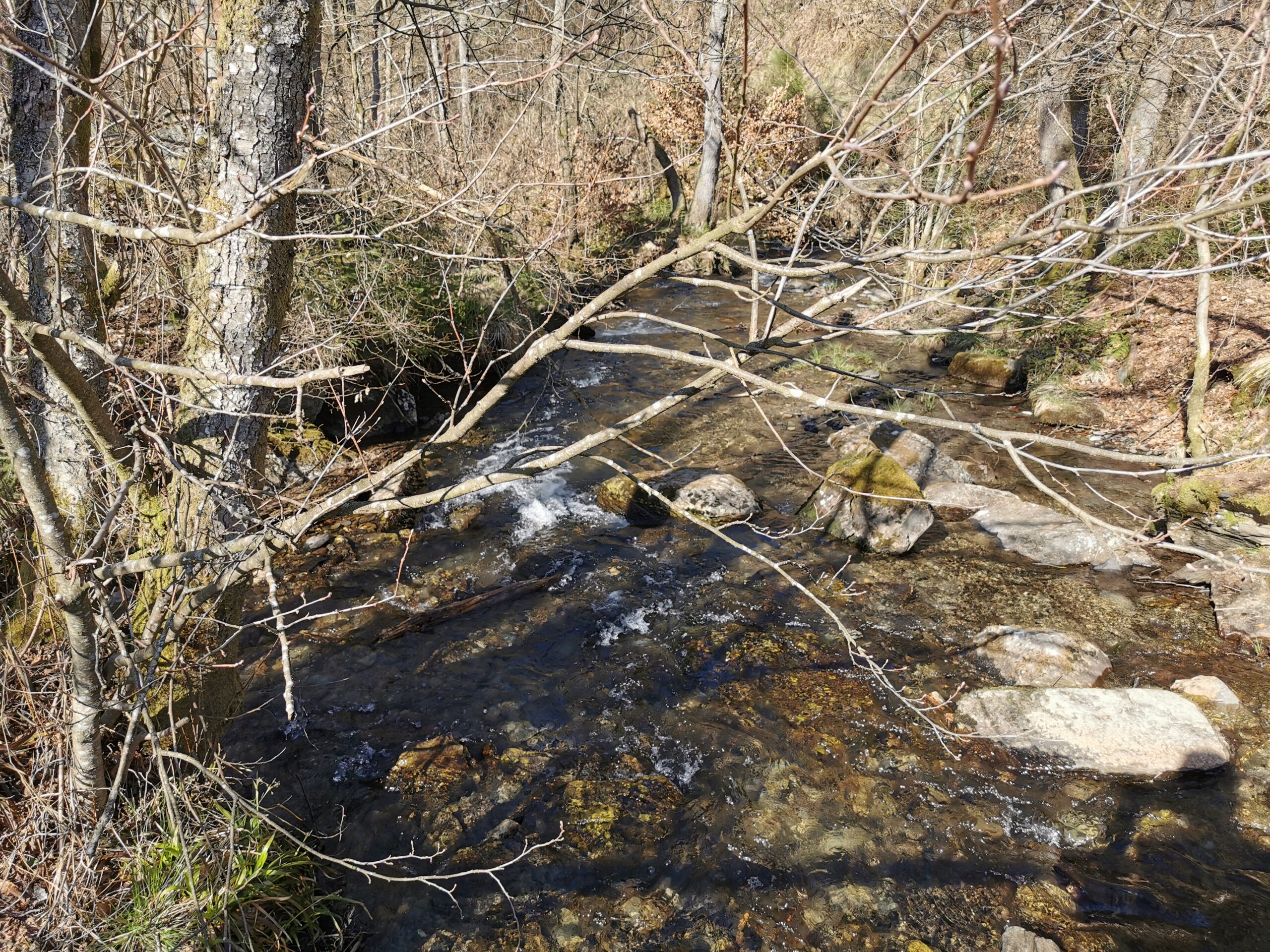
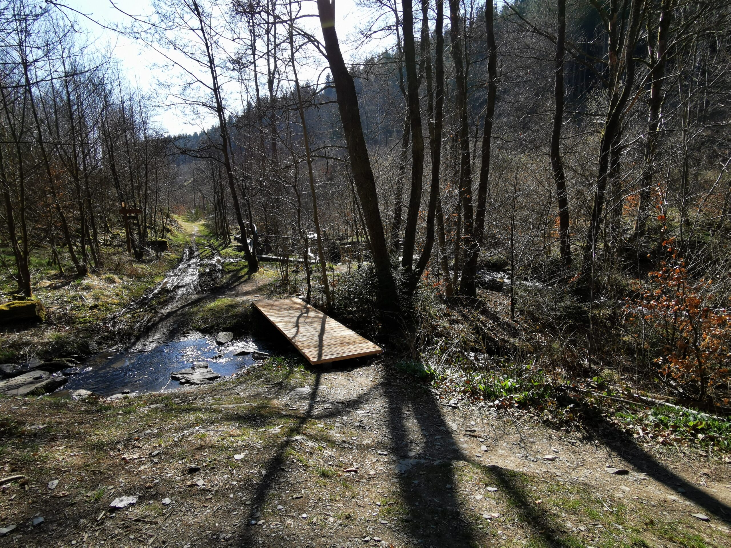
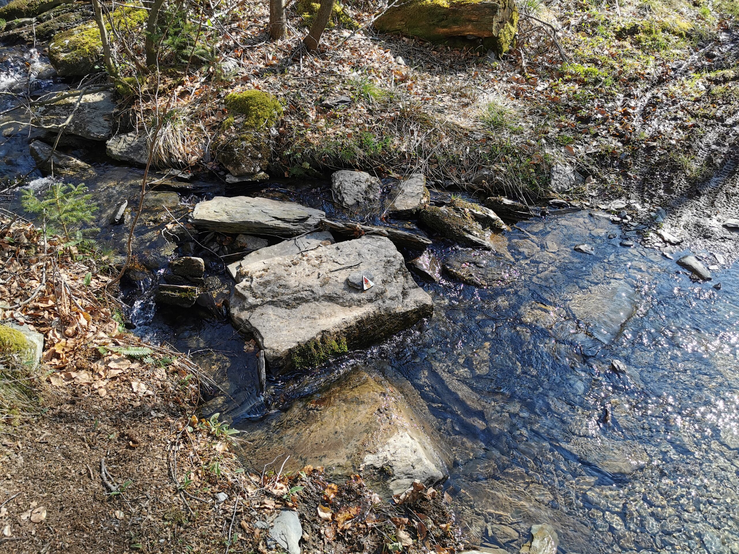
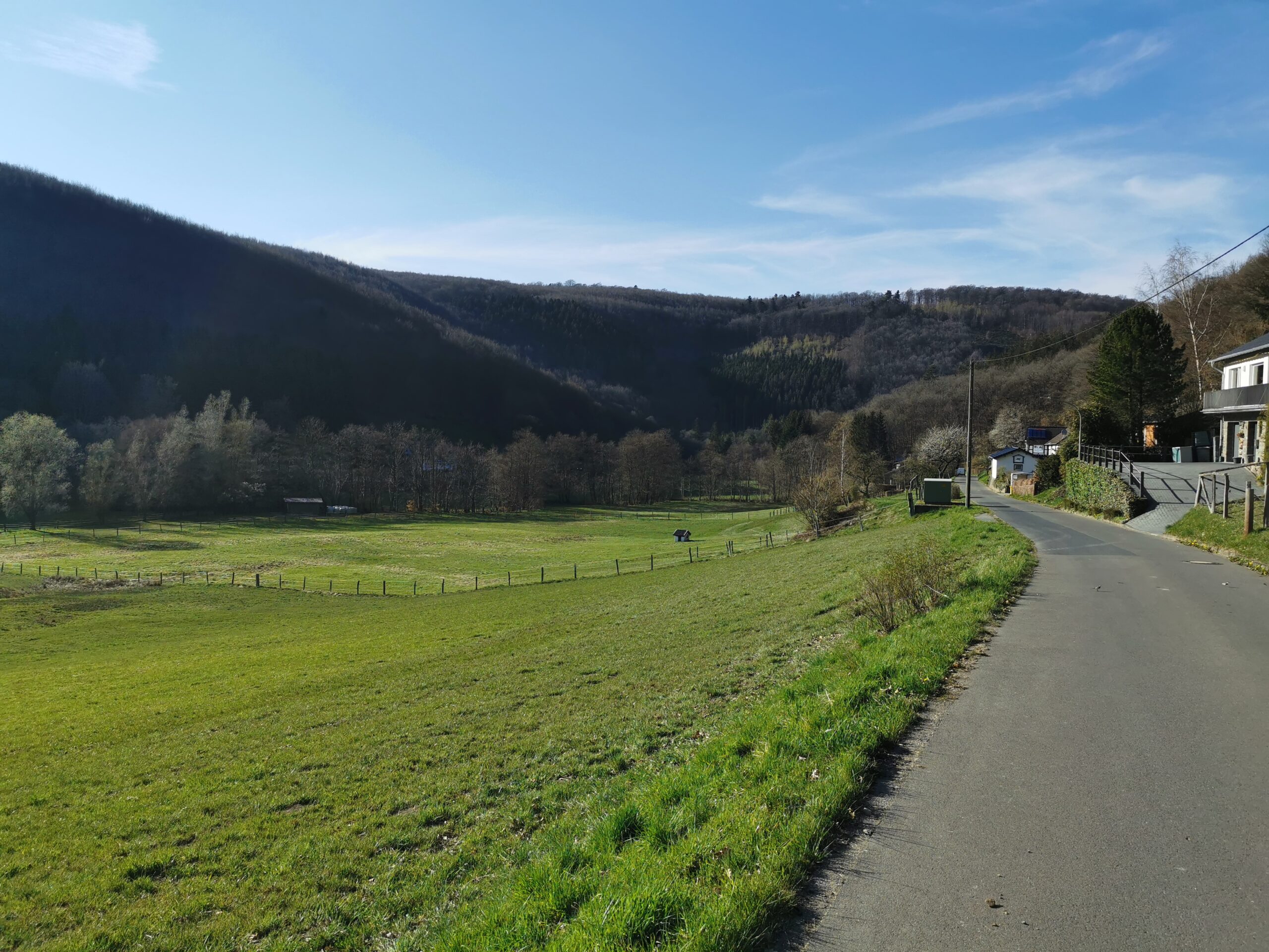
Hier ein paar Bilder vom Weg. Die #Fotos sollten selbsterklärend sein.
https://blog.utzer.de/wp-content/2021/04/VID_20210424_170148.mp4Einer der zahlreichen Bäche auf der Wanderung.
(Ton des Videos einschalten!)
GPS Track der Wanderung (Download GPX)
translations['openlayer'] = "open layer"; translations['openlayerAtStartup'] = "open layer at startup"; translations['generateLink'] = "Der Link zur Karte mit ausgewählten Overlays und angezeigtem Ausschnitt"; translations['shortDescription'] = "Kurzbeschreibung"; translations['generatedShortCode'] = "to get a text control link paste this code in your wordpress editor"; translations['closeLayer'] = "close layer"; translations['cantGenerateLink'] = "put this string in the existing map short code to control this map"; vectorM['map_ol3js_1'] = []; var attribution = new ol.control.Attribution({ collapsible: false }); var raster = new ol.layer.Tile({ source: new ol.source.OSM({ }), zIndex: 90 }); var Controls = ol.control.defaults({ attribution: false }).extend([ attribution ]); map_ol3js_1 = new ol.Map({ controls: Controls, interactions: ol.interaction.defaults({mouseWheelZoom:false}), layers: [raster], target: "map_ol3js_1", view: new ol.View({ center: ol.proj.transform([6.378,58.213], "EPSG:4326", "EPSG:3857"), zoom: 9 }) }); var style0 = { "Point": [new ol.style.Style({ image: new ol.style.Icon({ anchor: [0.5, 41], anchorXUnits: "fraction", anchorYUnits: "pixels", opacity: 0.75, src: "https://blog.utzer.de/wp-content/plugins/osm/icons/mic\_red\_pinother\_02.png" }) })], "LineString": [new ol.style.Style({ stroke: new ol.style.Stroke({ color: "red", width: 8 }) })], "MultiLineString": [new ol.style.Style({ stroke: new ol.style.Stroke({ color: "red", width: 4 }) })] }; var vectorL0 = new ol.layer.Vector({ source: new ol.source.Vector({ url:"https://blog.utzer.de/wp-content/2021/04/20210424140341\_Nationalpark\_Eifel\_T3.gpx", format: new ol.format.GPX({ extractStyles: false }) }), zIndex: 92, style: function(feature, resolution) {return style0[feature.getGeometry().getType()];} }); map_ol3js_1.addLayer(vectorL0); var osm_controls = [ new ol.control.Attribution(), new ol.control.MousePosition({ undefinedHTML: "outside", projection: "EPSG:4326", coordinateFormat: function(coordinate) { return ol.coordinate.format(coordinate, "{y}, {x}", 5); } }), new ol.control.OverviewMap({ collapsed: false }), new ol.control.Rotate({ autoHide: false }), new ol.control.ScaleLine(), new ol.control.Zoom(), new ol.control.ZoomSlider(), new ol.control.ZoomToExtent({ extent: [-11243808.051695308, 1.202710291, 9561377.290892059, 6852382.107835932] }), new ol.control.FullScreen() ]; var extension1 = ol.extent.createEmpty(); var curZoom1 = map_ol3js_1.getView().getZoom(); map_ol3js_1.getLayers().forEach(function(layer){ if(!layer.values_.id) { layer.once("change", function(e){ ol.extent.extend(extension1, (layer.getSource().getExtent())); map_ol3js_1.getView().fit(extension1, {padding: [50, 50, 50, 50]}); }); } }); map_ol3js_1.addControl(osm_controls[8]); map_ol3js_1.addControl(osm_controls[4]); map_ol3js_1.addControl(osm_controls[1]); osm_addPopupClickhandler(map_ol3js_1, "map_ol3js_1"); osm_addMouseHover(map_ol3js_1);
#Wandern, #Eifel, #Foto, #Fotos, #Nationalpark, #Wald- - - - - -
https://blog.utzer.de/2021/04/25/wanderung-nationalpark-eifel-themenweg-t3/