Sea otter haikus | Sea Otter Awareness Week | #shorts https://youtube.com/shorts/8v0grjpqCgk?si=lCu1pkui3TjNgUPN
https://yewtu.be/shorts/8v0grjpqCgk?si=3n3djtK51AlMHIGD&local=true
2 Likes
Sea otter haikus | Sea Otter Awareness Week | #shorts https://youtube.com/shorts/8v0grjpqCgk?si=lCu1pkui3TjNgUPN
https://yewtu.be/shorts/8v0grjpqCgk?si=3n3djtK51AlMHIGD&local=true
@muse@diaspora.glasswings.com Hope your teaching experience is better :D
https://www.youtube.com/shorts/DI_5fOwHRdE
Oh yes, seems to be universally!
https://www.youtube.com/shorts/i0_ibMbZ3Eo
I'm glad I am not the neighbor :-D
https://www.youtube.com/shorts/pZv2Jieg3jE
Surfing In Australia's Outback #shorts https://youtube.com/shorts/UAEZC-x8_JU?si=gqv_oH3iu4m_8-zm
Crazy steampunk line machinery
haha! This is graet!
https://www.youtube.com/shorts/r0XoDs45JhA
Reaktionen zum Wahlergebnis 🗣️ | un.logo! #shorts https://youtube.com/shorts/Z5sCjOvarSs?si=Lgrtn1yq204EwkFV
Ohja
Facts About My Huskies 🤣 #shorts #dogs #lol #huskylife #husky #funnydog ... https://youtube.com/shorts/60VAILcd0xg?si=Y_eS2F0evwr_JQa-
Pure chaos!
As it's a #BankHoliday #weekend, we went on a hike on #Dartmoor. I planned it to be a visit to somewhere I hadn't been before but starting off from a familiar location. In total, the excursion was 18 km of walking and took the best part of 6 hours with all the stops and breaks. As anyone who has walked here before knows, it's not to be done without preparation and having a good #map and #compass with you is vital. Mobile phone reception is patchy at best and so I rely on a paper map and the tried-and-tested method of #DeadReckoning. Essentials include a pair of good quality #WalkingBoots, #WaterProof clothing available and you should always prepare to be colder than you would be in town. As the terrain is quite rough and the vegetation can be thorny along with the presence of insects, #Shorts are not recommended unless you're happy to have grazes and bites by the end of the trip. The elevation is between 400-500 m above sea level and it is one of the wettest places in #England. It is also exposed to high winds.
The start of the journey was easy enough, just a short climb up to a #Cairn.
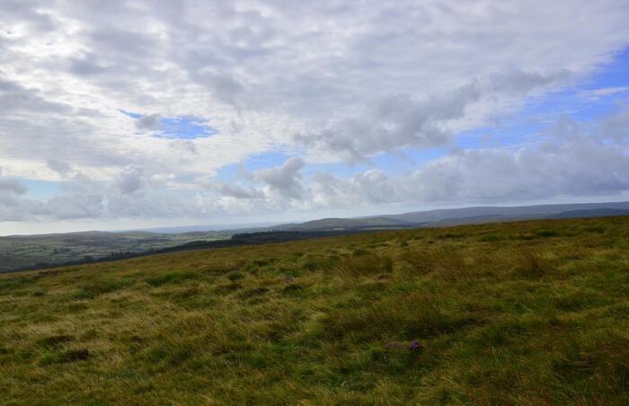
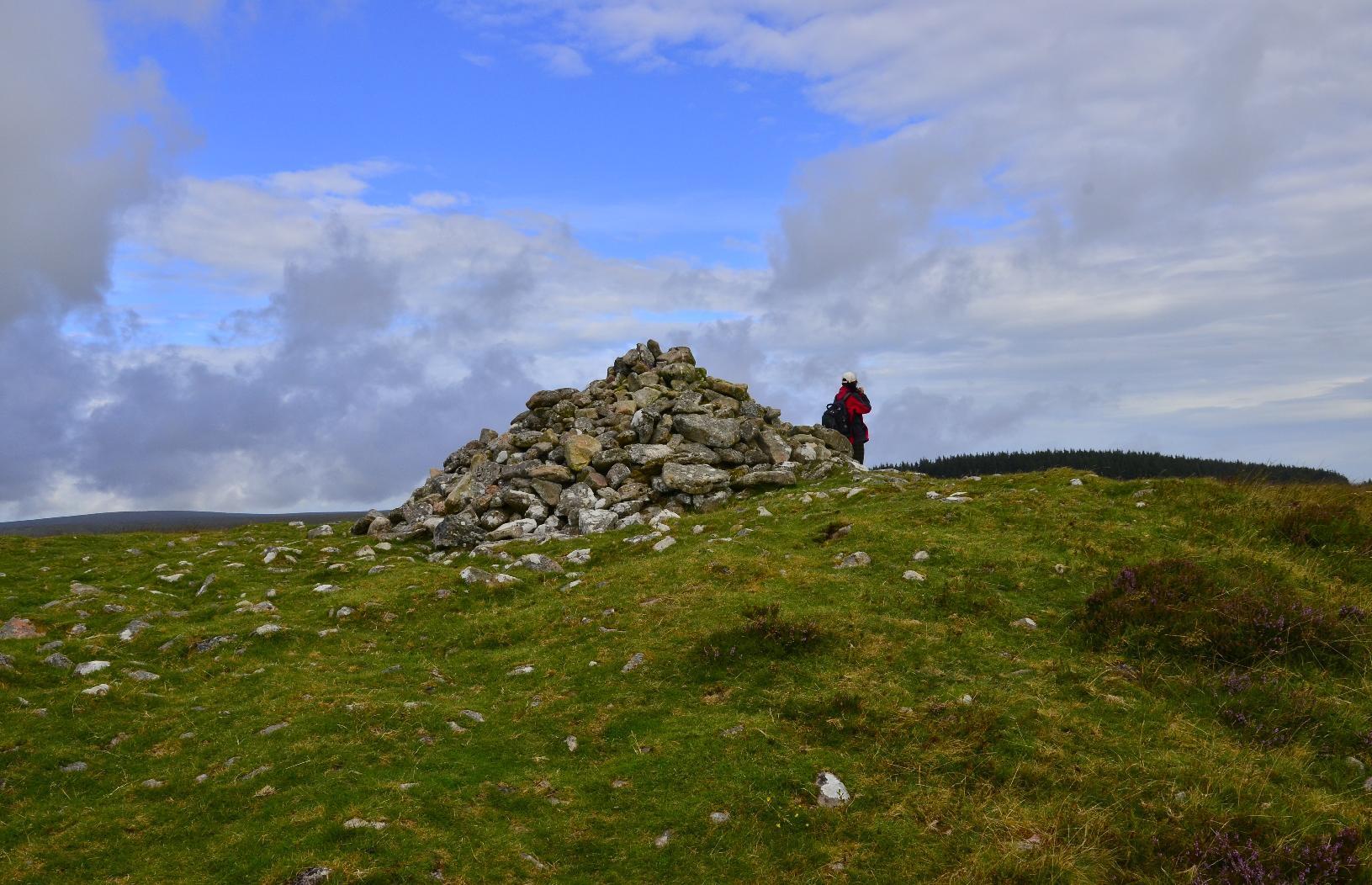
Until you join a #path or #bridleway, you have to negotiate #gorse which, if you're not careful, could easily mean a twisted ankle. However, the wild #flowers are very colourful. You can also see part of #FernworthyForest in the background, which is where we were headed.
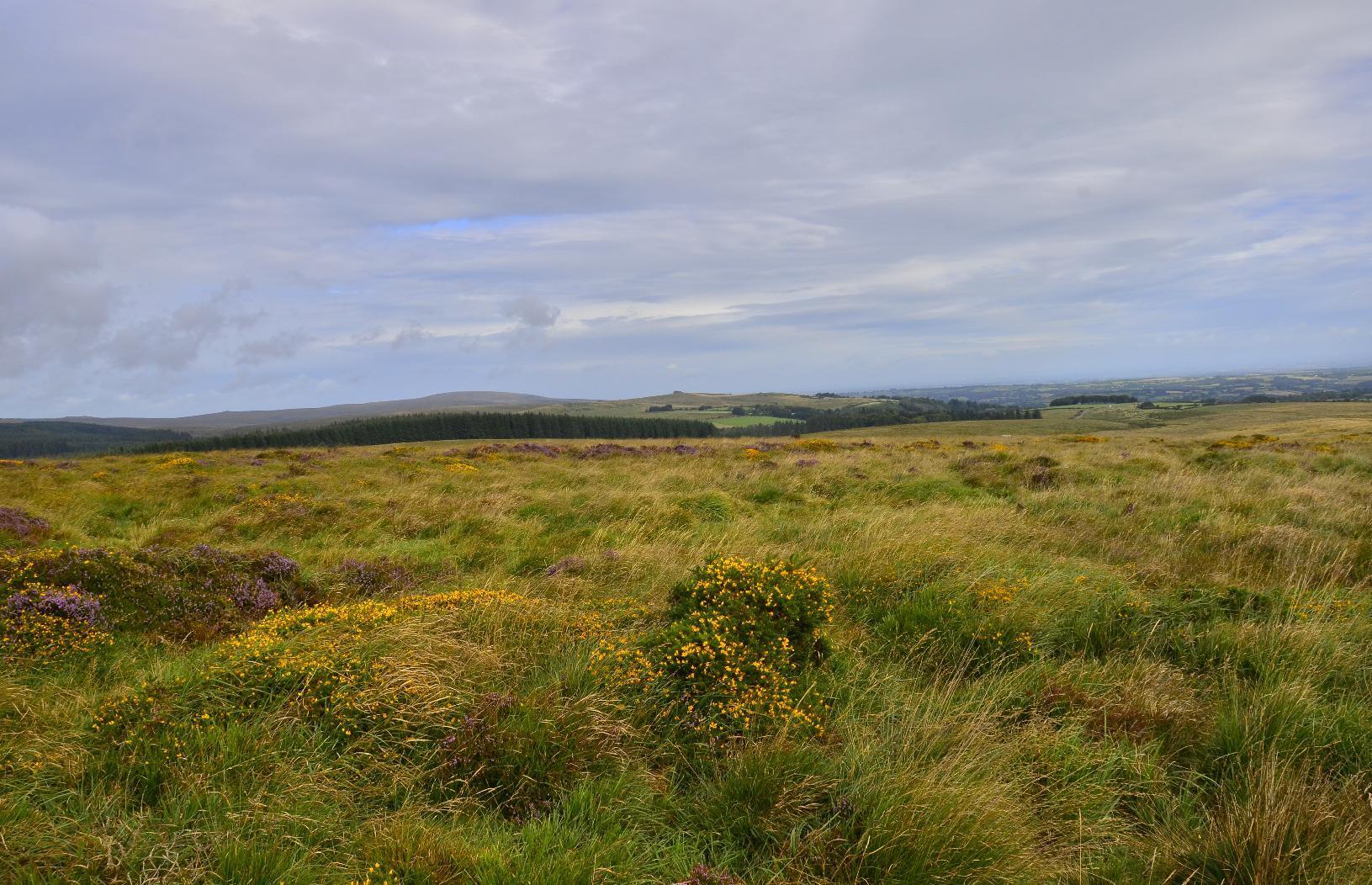
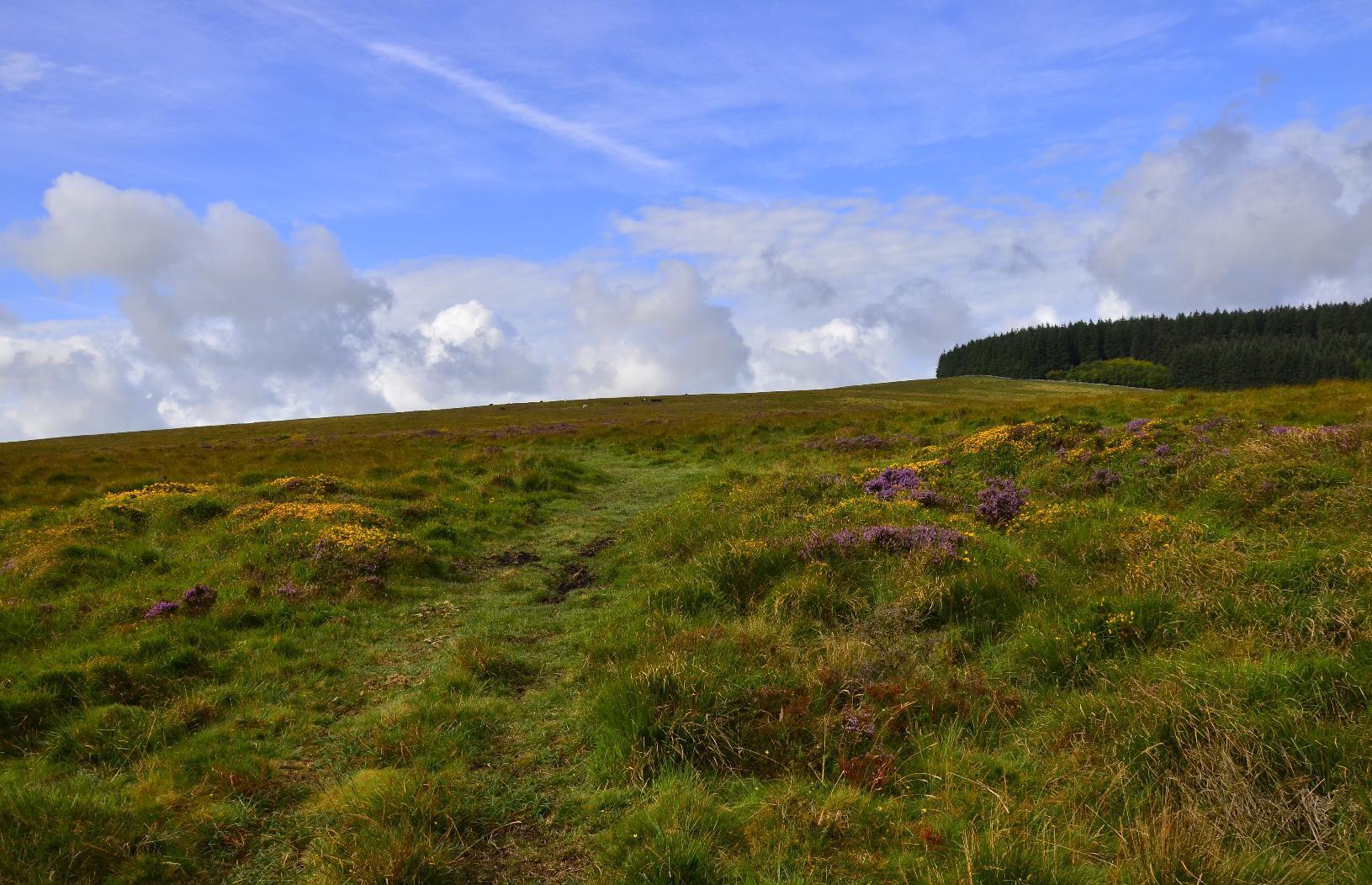
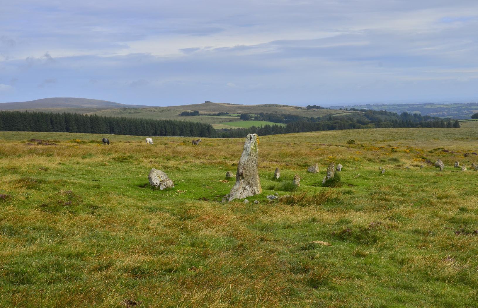
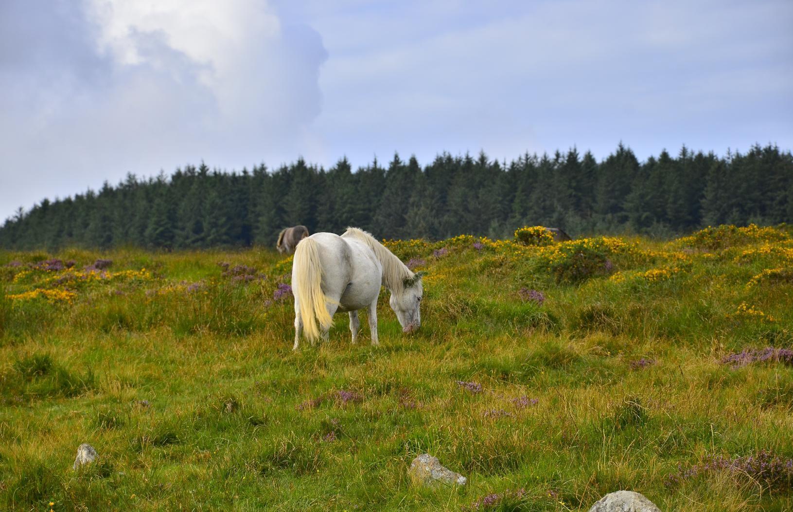
On the way to our first target, there were some #Neolithic artefacts such as these #StandingStones. There are some wild #DartmoorPonies in the background and I took a zoomed-in image of one of the ponies -- it's best not to get too close to them.
The first destination on the itinerary was #FernworthyReservoir. It has a #MasonryDam, which is not a common form of #Dam, most being concrete or earth (embankment) dams in the #UK. There is a another one in Dartmoor and so I'm guessing there was a trend to build such types at the beginning of the twentieth century, which is when I happen to know the other one was built. Neither the dam nor the #reservoir are very big but they do provide water for nearby populations.
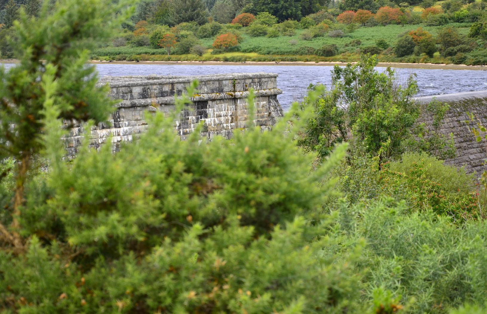
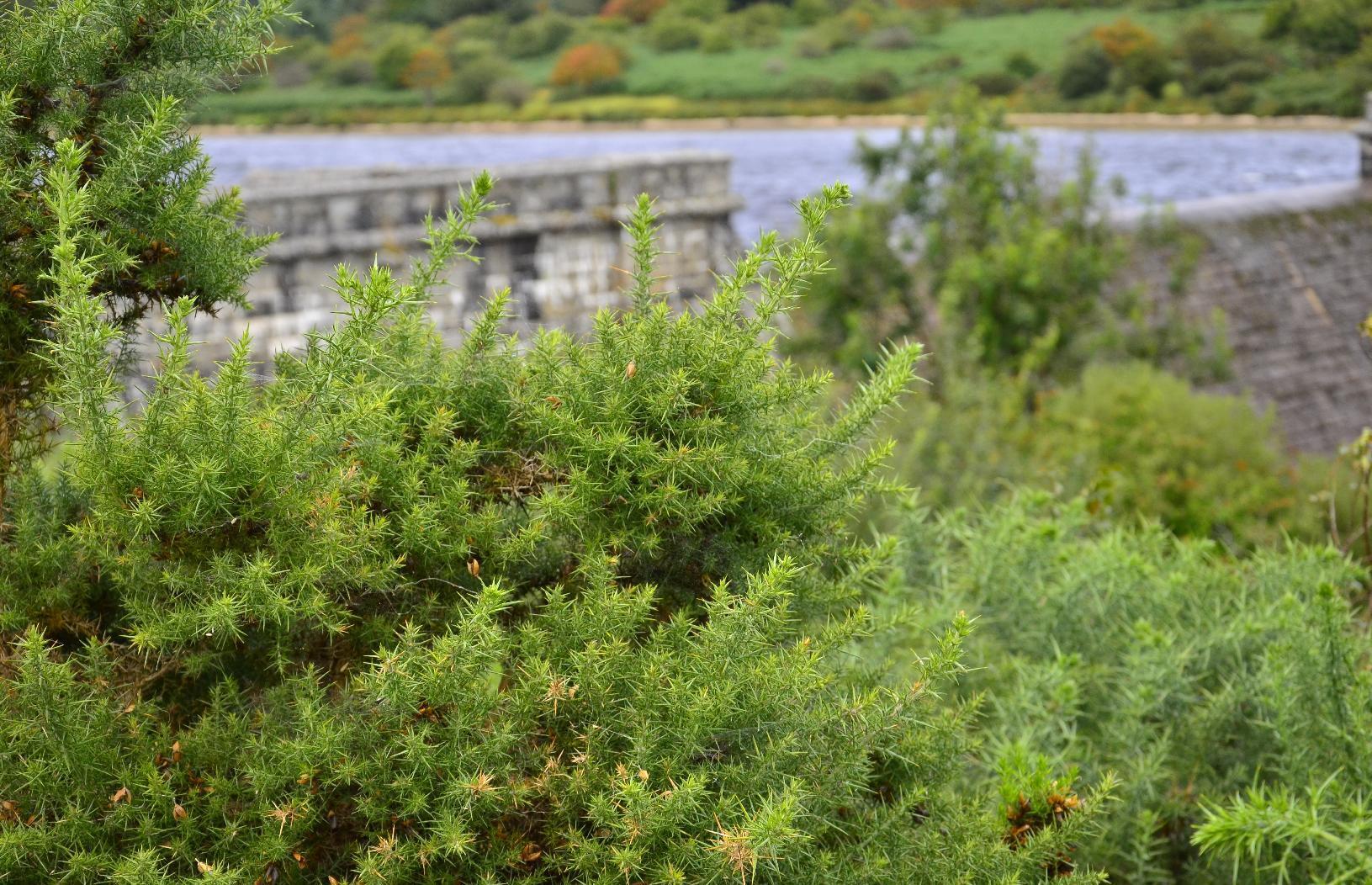
The surface of the reservoir was quite choppy owing to the windy conditions. Also, the level was near the maximum and right up to spillway at the centre of the dam.
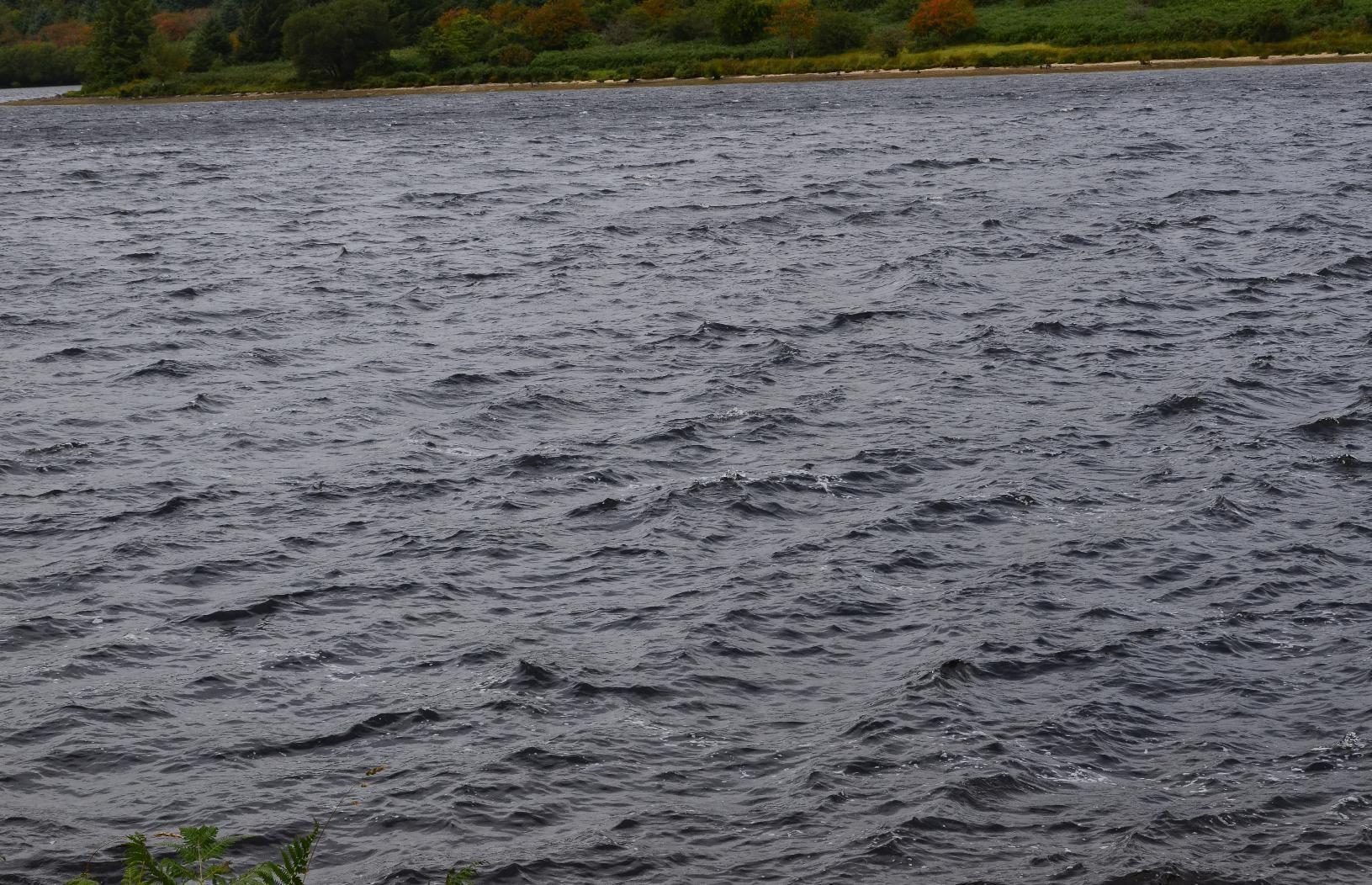
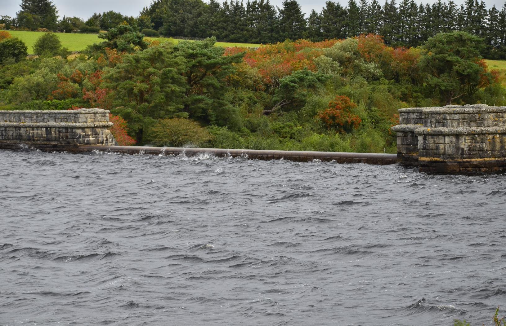
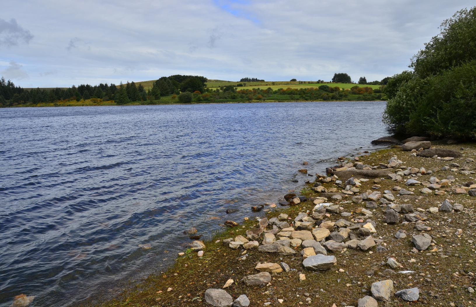
Fernworthy Forest is a #conifer forest, which I think is not natural, rather being there to provide timber. There are many track through it but none are marked and so the only way to find out which way you're going is to use a compass. I was uncertain of my precise location after a while but I knew that if we kept heading in a westerly direction, we'd eventually get to the other side.
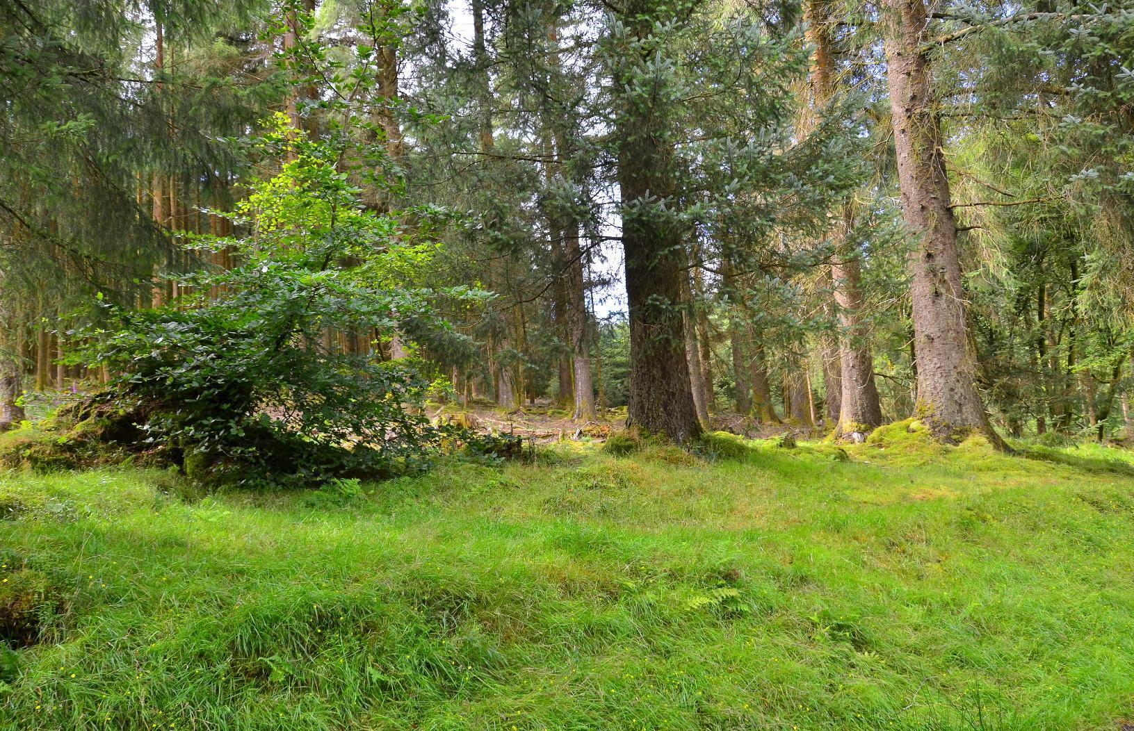
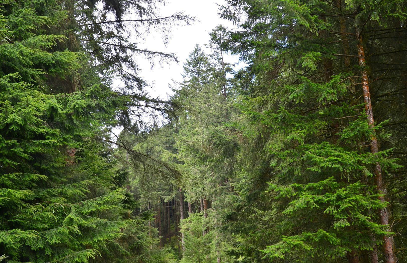
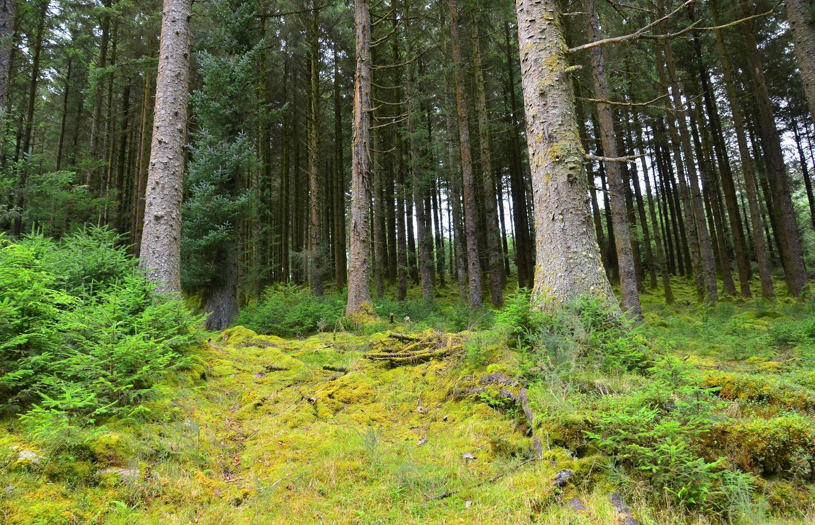
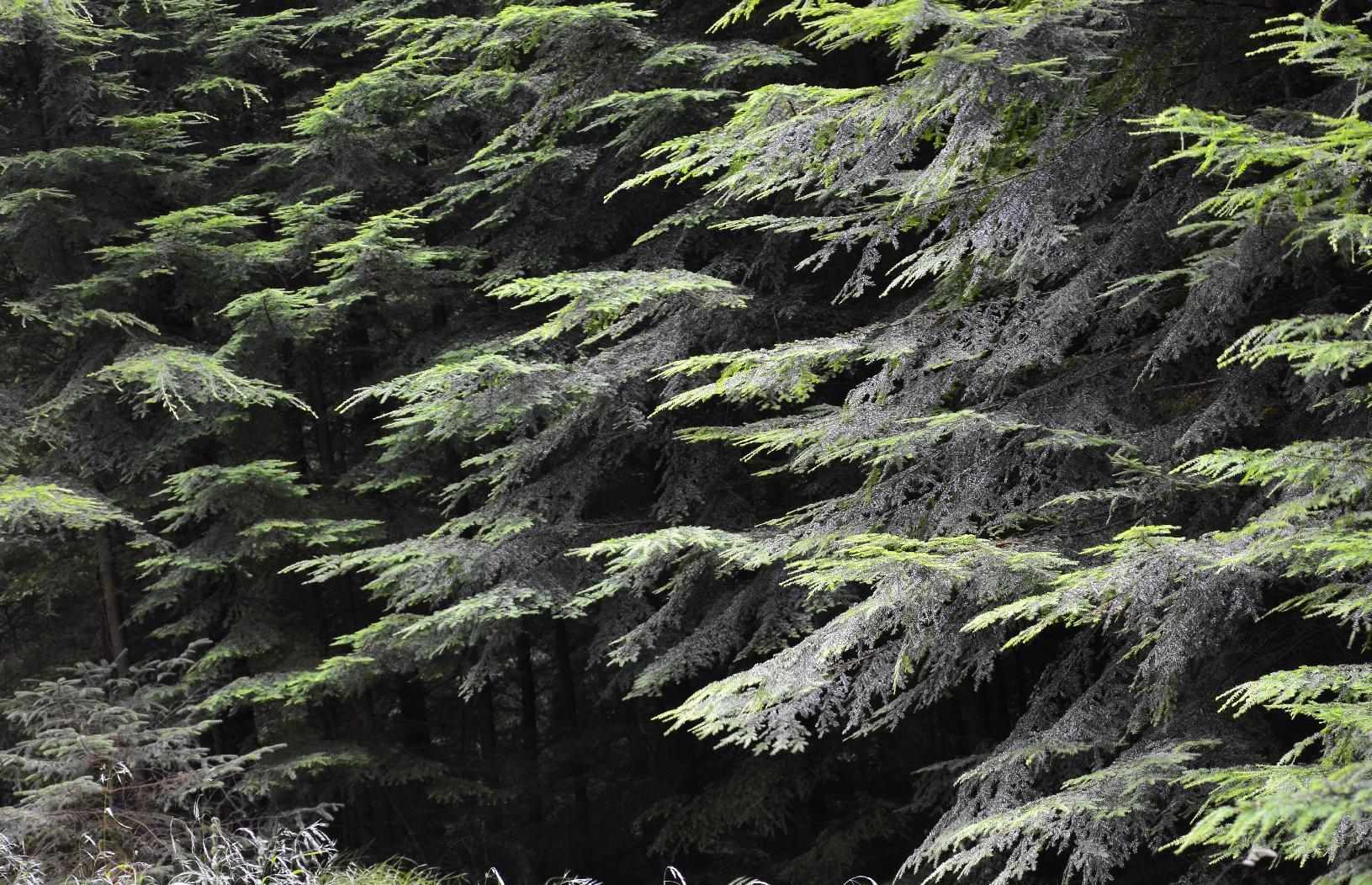
Once out of the forest, it was a matter of heading south towards the main road. The weather forecast was spot on and it started to rain right on cue. Once over a rise, eventually we found a bridleway down.
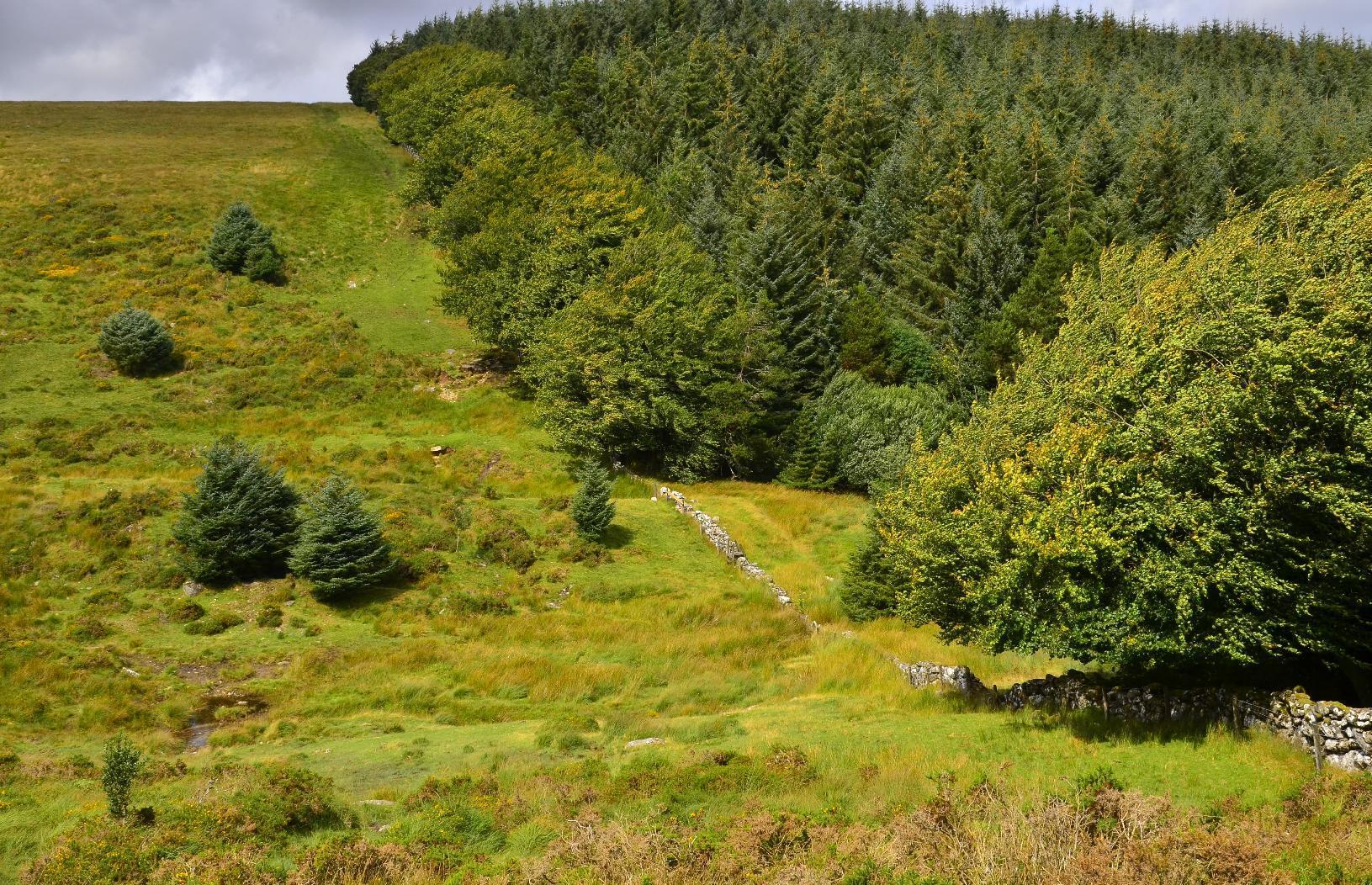
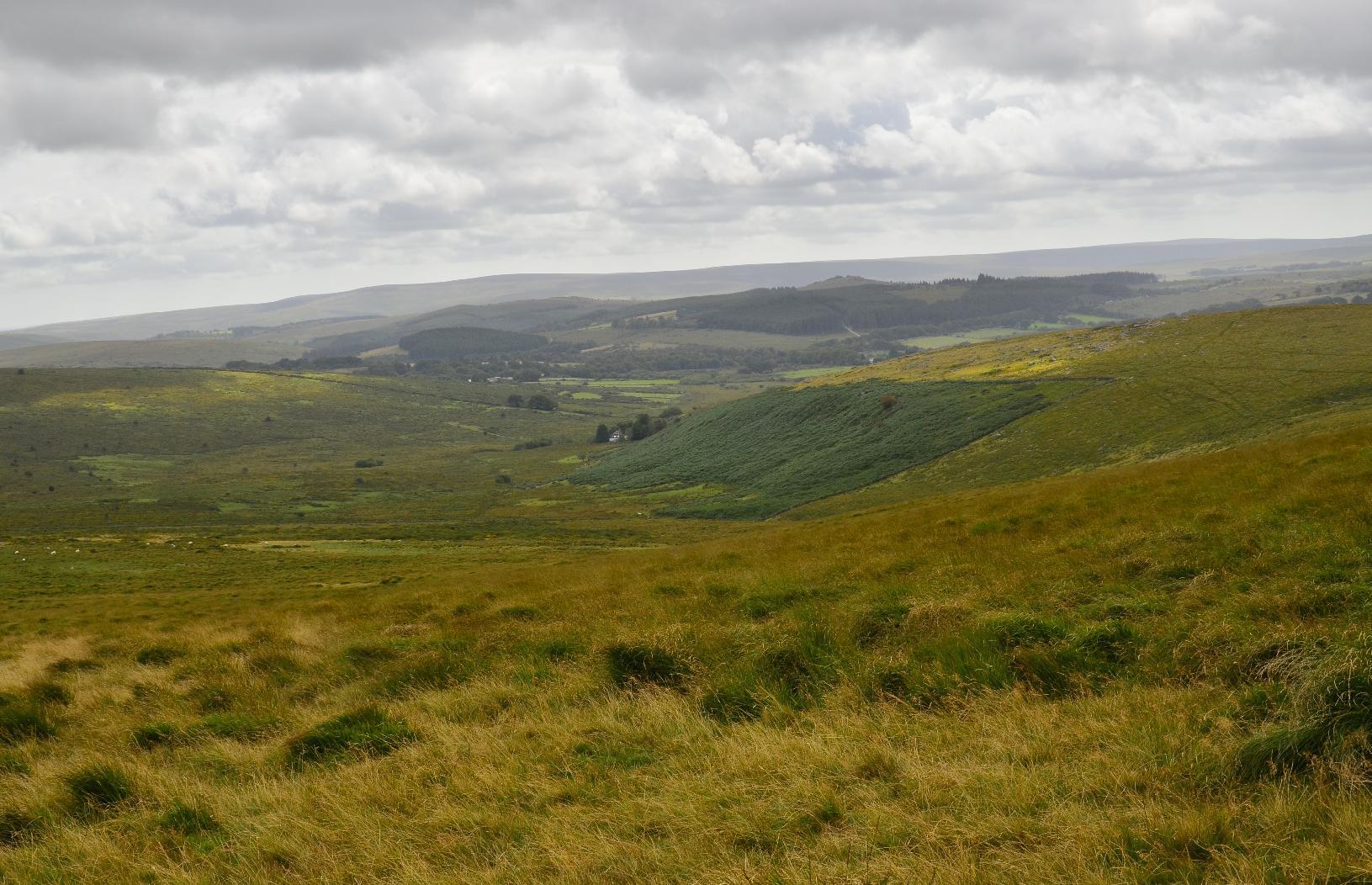
Once we passed this #StoneCircle, I knew we were on the right track as it's marked on the #OSMap. The journey from there was quite straightforward, although still another 5-6 km to go.
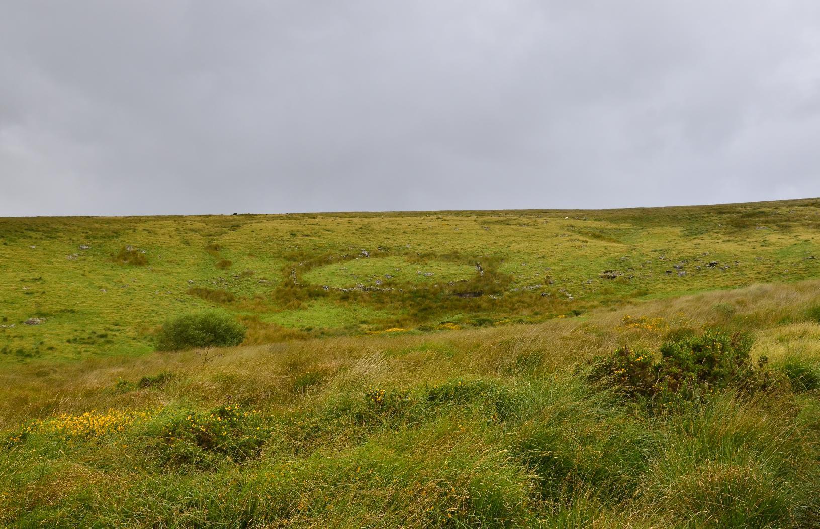
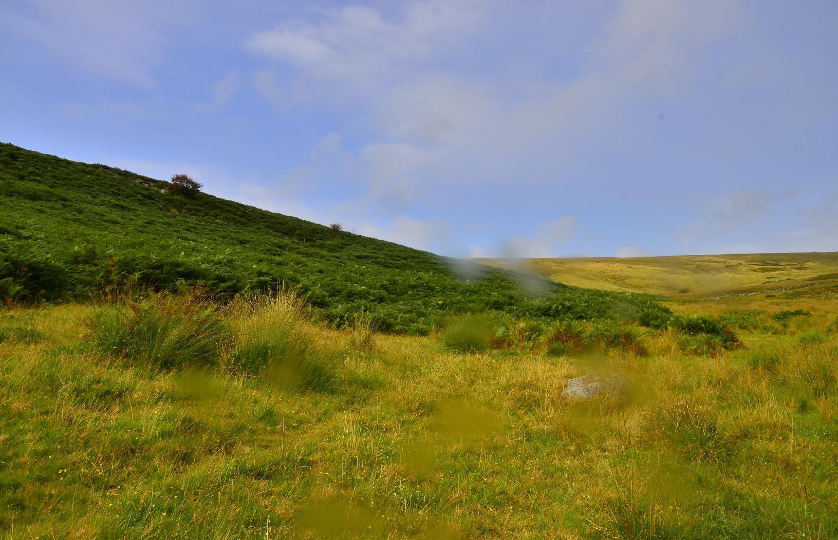
The last leg of the journey was on a main road, without a separate footpath but just before getting onto that, I looked at the path we'd taken and also to the other side of Dartmoor.
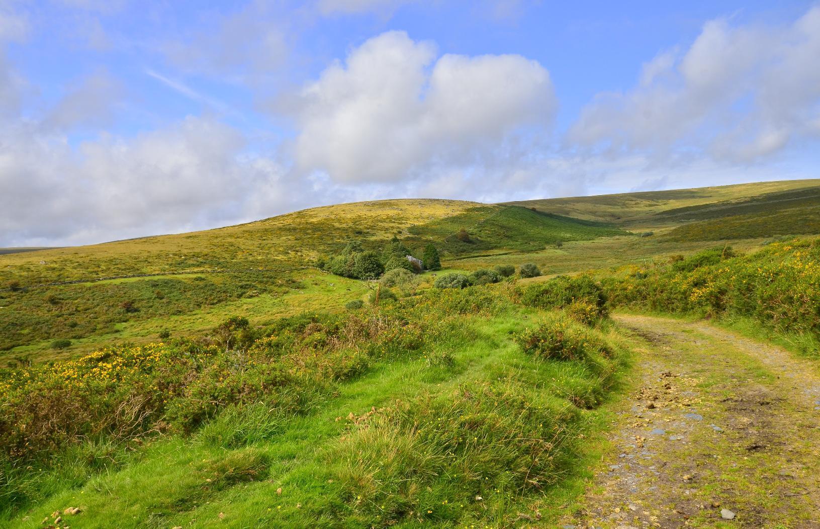
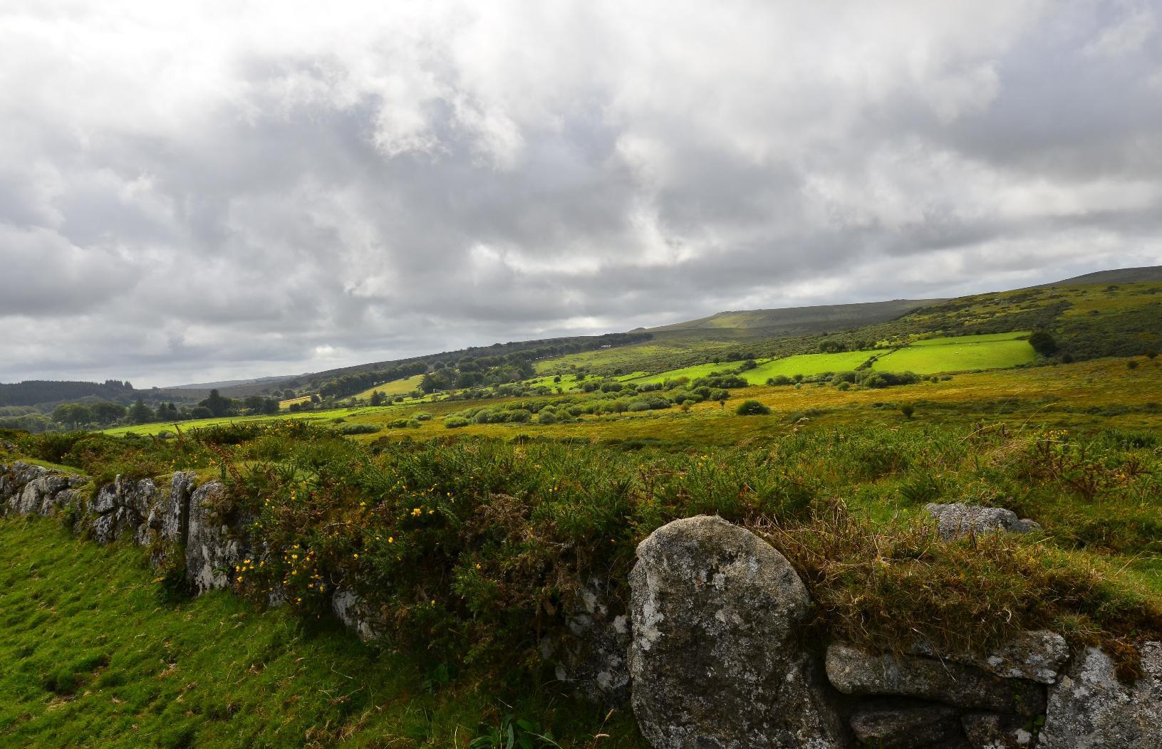
#MyWork #MyPhoto #CCBYSA #DSLR #Nikon #D7000 #Summer #Countryside #Moorland
@girlofthesea@diasporasocial.net
https://www.youtube.com/shorts/CRUhKMR_ZCc
Playgrounds now vs. Playgrounds then #shorts https://youtube.com/shorts/pKgIozHdICc?si=j6o0EYsOn8BI_Oa8
Hah yeah I remember the hot slides in summer
Anyone here living in the Midwest?
https://www.youtube.com/shorts/2h_WaUTwSfI
I’m sorry but I don’t know! 🙇♂️😂 #japan #shorts https://youtube.com/shorts/Uf-k6mSI7hw?si=BhRQmj85xJJoiYDJ
I love this guy, he's honest! I've never been to prison lol
Imagine waking up to this 😬 #AnnJones #Spiders #Science #Shorts https://youtube.com/shorts/Op9kaHodryQ?si=atbKfCwbvKDOrRs5
A huge nope