@permaCulture
♲ Keith D Johnson - 2024-01-27 23:17:03 GMT
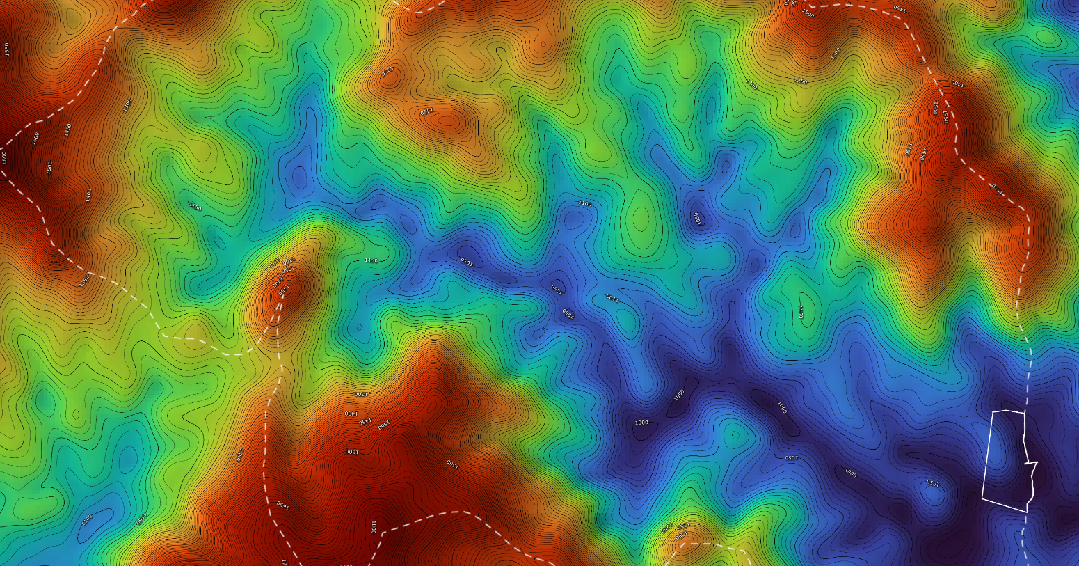
A friend of mine, Ben Missimer, makes #maps (& animated maps) to help others design their land for ecological resilience; basic contour maps, #hydrology, #forest cover, #wetlands, drainage, erosion, slope, #solar aspect, satellite images, & more (also all in large hi-rez, some suitable for framing & hanging on your walls).
He's okayed sharing these exemplary files. #permaculture #design https://www.dropbox.com/sh/qeb6nfvakmk81q1/AABw5yg-uSjwqHRWml8mOoG7a?dl=0If you need reasonably priced mapwork for your projects Ben's website is https://www.pearlriverecodesign.com/

There are no comments yet.