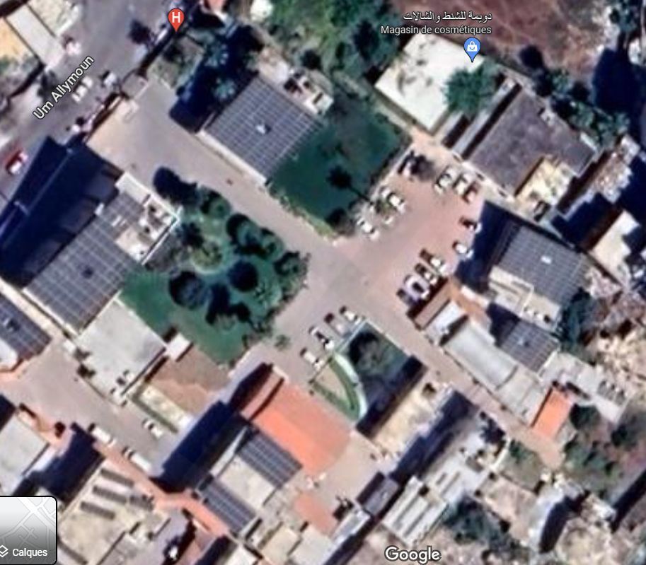
Israel has shared drone footage of the hospital by claiming that the crate created by the missile is not a "typical" crate caused by an Israeli bomb.
The images and videos shared from inside the hospital show a small crate with many cars damaged in the car park, but it still doesn't explain the reason why so many people (471 dead and 1100 injured) by such a small bomb.
I have spent about an hour looking at various images and videos with google earth view of the hospital trying to figure out where the missile was launched and the direction of the crate.
My personal conclusion is that the crate looks like a missile launched from the south east and not from the south west as Israel claimed, it should be easy for someone with better equipment to put the images on top of each other to identify the direction of the missile and possible launch path.
There are no comments yet.