🌡️ 8 °C + 🌧️☁️🌧️ = 🚲 🌲 🌳 🌲 ➡️ 🗺️ 🐈🐈🐈 👋 😀
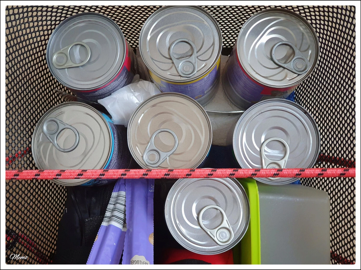
Regenpause -> Unterwegs, um die Moorkatzen zu füttern 😀
#natur #umwelt #rad #bike #fahrrad #radtour #moorkatzen #katzen #meshtasticmap
3 Likes
Regenpause -> Unterwegs, um die Moorkatzen zu füttern 😀
#natur #umwelt #rad #bike #fahrrad #radtour #moorkatzen #katzen #meshtasticmap
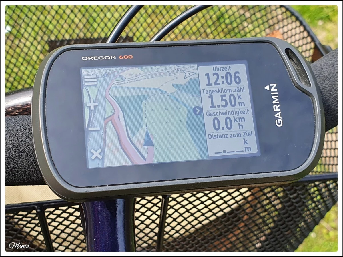
Ich habe soeben die aktuelle Version der #OFM ( #OpenFietsMap) vom 02. November, auf meinem #Garmin und in #BaseCamp installiert 🗺️ 🚲 😀
Nicht, dass ich die neueste Version unbedingt brauchen würde, aber wer weiß schon, wohin mich mein Fahrrad führt 😉
(Bildbeschreibung: Kartenansicht meines älteren Garmin Oregon 600, mittlerweile nutze ich fast ausschließlich den neuer Oregon 650, an einem Fahrradlenker.)
🔗 https://www.openfietsmap.nl/downloads/germany
#Rad #Fahrrad #Bike #Radtour #Navigation #Navi
Ich werde heute Vormittag wieder eine kleine »Moorkatzen-Tour« radeln. Den #SenseCap hab ich natürlich mit dabei – allerdings mit abgeschalteter Internetverbindung.
Ich bin gespannt, wie sich die kaum vorhandene Antenne schlägt 😀
#natur #umwelt #rad #bike #fahrrad #radtour #moorkatzen #katzen #notfallkommunikation #meshtastic #LoRa #meshtasticmap