#magicearth

caos@anonsys.net

Hallo zusammen,
ich habe eine kleine Befragung zum Thema "Karten-Apps & Navigation" 🗺️ 📍 erstellt und lade Euch hiermit 🧡lich zur Teilnahme an der Befragung ein. Die Umfrage beinhaltet (maximal 10) Fragen zu #KartenApps im Allgemeinen und zu #OpenStreetMap im Besonderen.

Die Umfrage dauert nur wenige Minuten und ist anonym. Es werden keinerlei personenbezogene Daten erhoben, alle Angaben sind freiwillig. Die Ergebnisse werden in zusammengefasster Form auf gnulinux.ch veröffentlicht.

Ăśber den folgenden Link kommst Du direkt zur Befragung:
👉 https://cryptpad.digitalcourage.de/form/#/2/form/view/2hCqKwX6AoKaP6knPb1rzRPRObOJXWGOVEqb0dnGv2s/

Teile gerne diesen Beitrag für die breitere Verteilung im #Fediverse! 🚀 #BoostOk #BoostWelcome
Gerne kann der Link zur Befragung auch auf anderen Kanälen geteilt werden. Danke!

Die Umfrage ist über #Cryptpad Formular realisiert und lädt evtl. relativ langsam.
#Umfrage #Befragung #Poll #Maps
#GoogleMaps #AppleMaps #BingMaps #Komoot #MagicEarth #OrganicMaps #OpenStreetMap #OSM

danie10@squeet.me

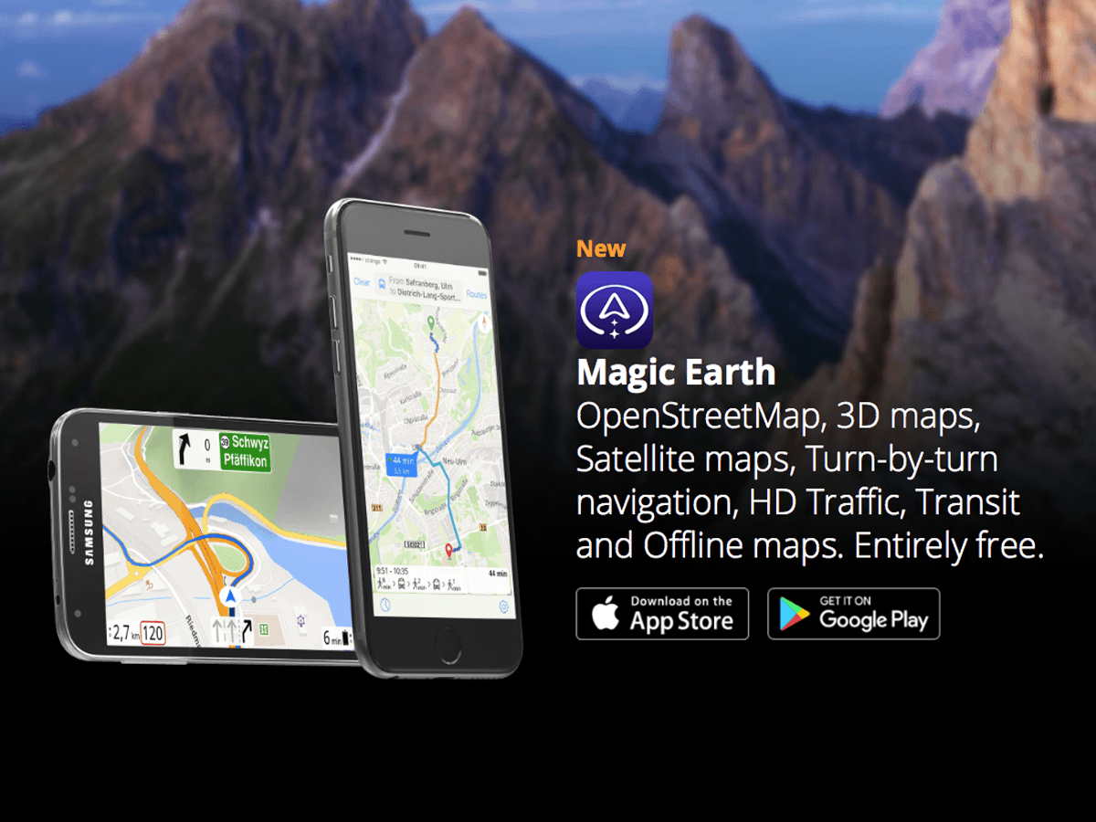
Magic Earth: A New Google Maps Alternative Launches on Android Auto based on OpenStreetMap

View of phone screen with dashcam view of the road ahead and overlays for speed limit etc
Magic Earth now supports Advanced Driver Assistance System (ADAS) systems powered by the phone’s camera. The application can monitor the road ahead and provide functionality otherwise available in integrated ADAS technology fitted into the car. The application offers lane departure warnings, traffic sign recognition, and forward and pedestrian collision notifications.

The navigation application, which retains its focus on user privacy and offline route guidance, also brings most features to Android Auto. Magic Earth now supports truck navigation, letting users enter vehicle information. For example, the application can look for routes based on certain vehicle parameters, such as width, height, length, weight, and axle weight. Once all these details are provided, Magic Earth only configures appropriate routes, avoiding narrow roads, low bridges, and sharp curves.

I tested it out today, but in my case, the version I just downloaded did not yet recognise Android Auto. Just like OsmAnd it is based on OpenStreetMap. It has a much simpler, but I’d say better looking, interface than OsmAnd. Any new interface of course takes a bit of time to get used to. OsmAnd does also have all the truck navigation features previously mentioned, and it has a ton more settings and options (for example also speed bump and pedestrian crossing warnings), but many may find OsmAnd a bit more complex. If so, then Magic Earth may be well worth trying out.

Magic Earth says they are privacy first with no tracking, no profiling, don’t trade in our personal data, and don’t have our personal data.

It does have options for traffic and re-routing (and I’m not sure how the traffic data is working) but I suppose the proof of the pudding for many will be, how well does it route in real life. You can however also tweak these settings for cars, bicycles and walking (I imagine trucks is in the newer version I don’t seem to have yet).

See https://www.autoevolution.com/news/a-new-google-maps-alternative-launches-on-android-auto-with-massive-update-214097.html
#Blog, #MagicEarth, #navigation, #OpenStreetMap, #privacy, #technology

danie10@squeet.me

Magic Earth - Completely Free and Privacy Respecting Turn-by-turn navigation, OpenStreetMap, Crowd-Sourced Traffic, 3D maps, Satellite maps, Offline maps for iOS and Android

Magic Earth uses OpenStreetMap data and a powerful search engine to offer you the optimal routes for driving, biking, hiking, and public transportation. They don't track you, nor do they profile you. They don't trade in your personal data, and they don't collect it (as stated in the Apple app privacy statement).

Interestingly it also has an AI function built in if you activate the camera to use it as a dashcam, with Driver Assistance warnings such as avoiding collisions, lane departure warnings, stop and go assist, etc.

It also has support for Apple CarPlay as well as Apple Watch.

If there are any incorrect map issues you can fix those yourself using OpenStreetMap.

See Magic Earth - Free Navigation & Maps App for Android and iPhone

#technology #magicearth #navigation #android #iOS

Image/photo

Magic Earth is a free maps and navigation app based on OpenStreetMap data. Enjoy 3D maps, Satellite maps, Turn-by-turn navigation, HD Traffic, Offline maps


https://gadgeteer.co.za/magic-earth-completely-free-and-privacy-respecting-turn-turn-navigation-openstreetmap-crowd-sourced