Unlike #cyberpunk which relies on future tech, and #steampunk which is stories centered around tech we used to think might work, #solarpunk is based mostly on tech we have right now, that those in power refuse to quickly implement as they are beholden to those who wish to make the world a cyberpunk hellscape.
Because of this, solarpunk as an artistic genre is only a tiny part of what it means to be solarpunk as we can if we put the effort in actually LIVE solarpunk.
Living solarpunk involves us to do the following:
1. Build and learn how to maintain a sustainable community
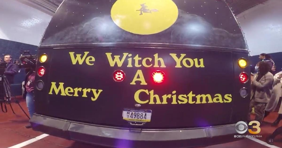
2. #Urbanism through political advocacy and increasing our own use of #publictransit and #micro-mobility devices.
3. Waste/energy/ #consumption reduction( #degrowth )
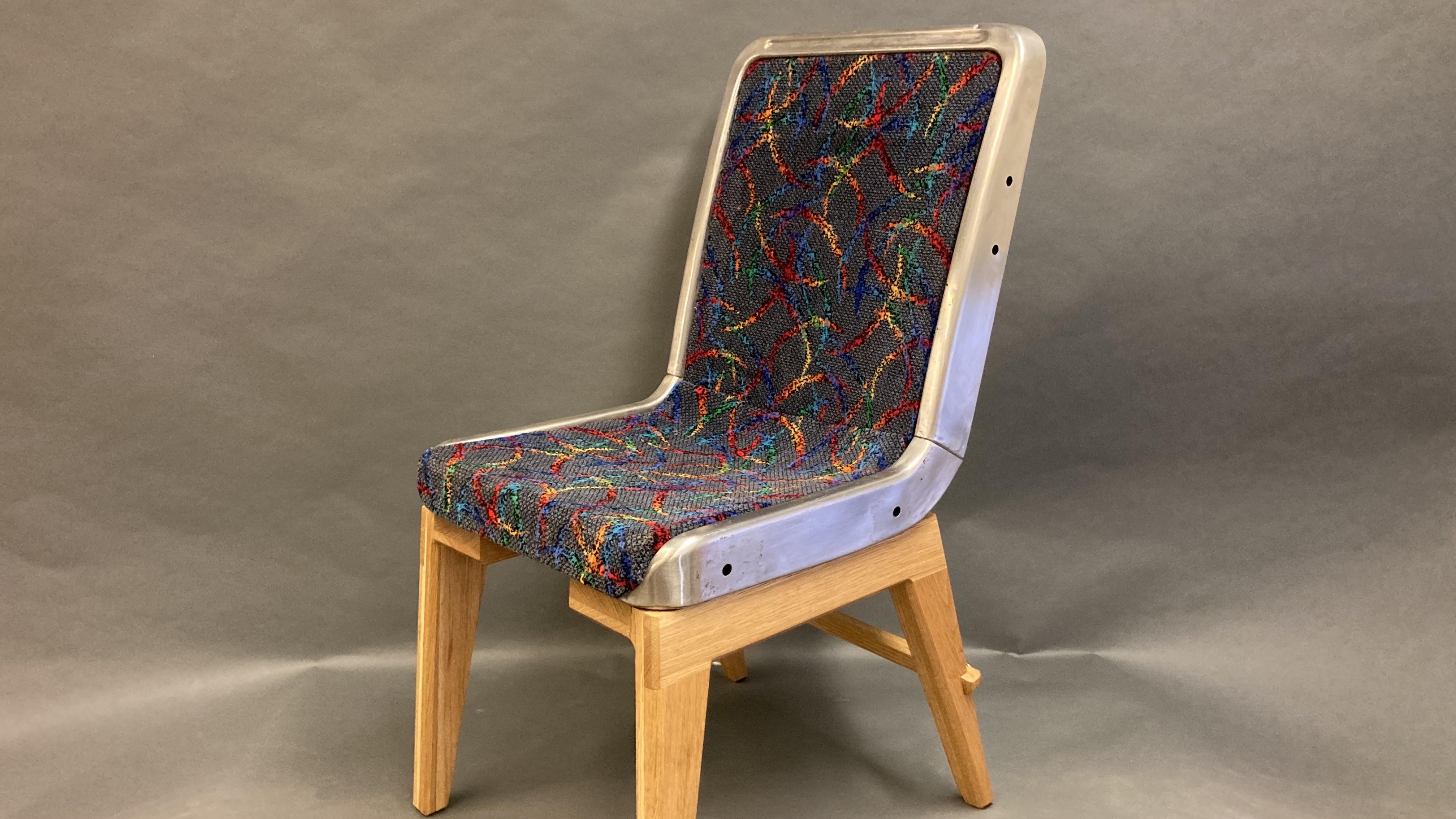
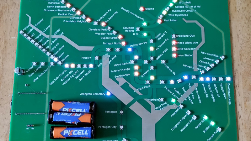
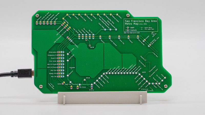
4. #DIY / #upcycling
5. Urban #gardening and #food forestry
6. #Righttorepair
7. Community cooking/sharing/bulk investment
8. Community #freecycling
9. Digital freedom. Using #FOSS based server social media, clouds storage and software to reduce costs and advertising
10. Create Solarpunk art and telling the story of a future that could be as opposed to the #doomer mindset that causes us stress
This is what my new youtube/peertube channel will be about and I have around 8 scripts written up already, but I have to make sure I'm not forgetting anything, not forgetting explanations and reasons for things and make sure I'm making them as simple as easy to understand.
Once I complete explaining point number one, this will become a collaborative channel, with many people involved just like how solarpunk has to be. We can't do all of these things on our own, the only way to make this work is if we are all involved and connected to ensure no one slips through the cracks.
