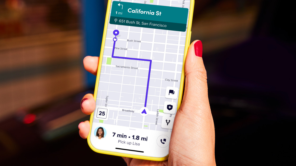
Lyft’s secret plan to take control of its maps — and its future
The breakthrough came in 2019 when the team determined that the OpenStreetMap (OSM) platform was finally robust enough to undergird Lyft’s maps. Created in 2004 by a British academic, OSM is a free, open-source alternative to Google and Apple Maps — a sort of Wikipedia for maps, with volunteers contributing geographic information into a centralized database, which can then be accessed by anyone for free. OSM was mostly the domain of academics and hobbyists until 2012 when Google announced it would start charging more businesses for using Google Maps. Since then, companies from Amazon to Meta to Snapchat have built mapping products on OSM — and, in turn, contributed massive amounts of information to the underlying database.
“The only reason this worked was because OSM’s maps finally became high enough quality,” Lyft’s chief product officer Dylan Lorimer says. “It was the perfect point in time.”
And Lyft had another valuable resource at its disposal: data from Lyft rides, which traverse the most highly trafficked streets multiple times every day. (According to Lorimer, between 70% and 80% of U.S. road segments host a Lyft ride at least once every ten days.) It launched a pilot in which a small subset of rides using car-mounted cameras collects the data so the company could update its maps with road closures, construction, or other obstacles.
https://www.lyft.com/rev/posts/lyfts-secret-plan-to-take-control-of-its-maps-and-its-future