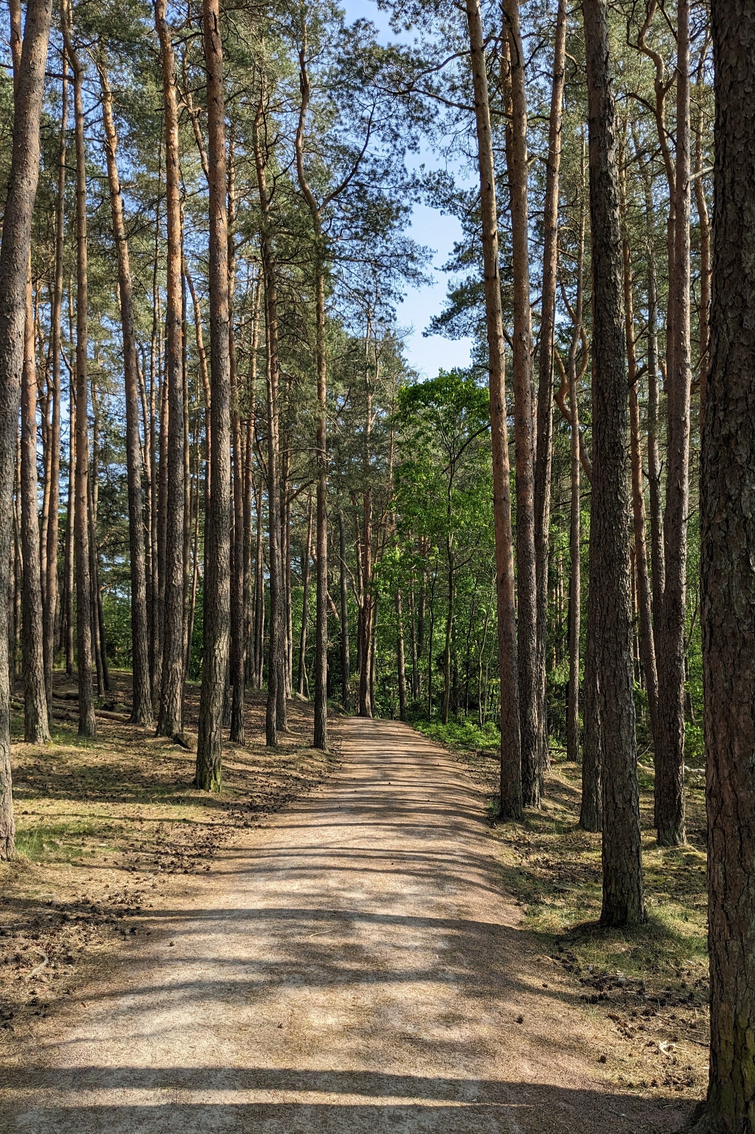
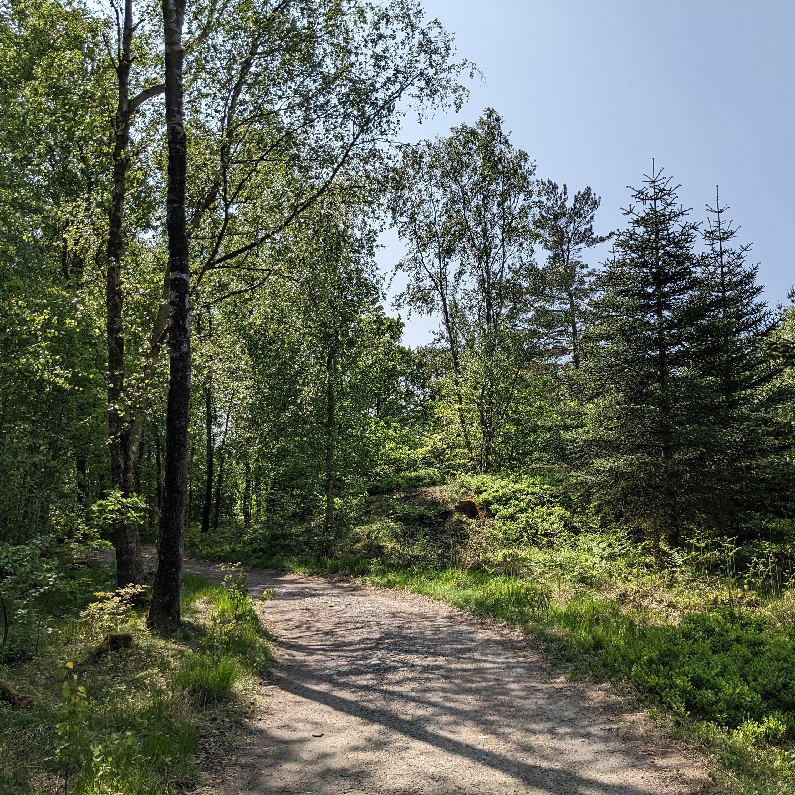
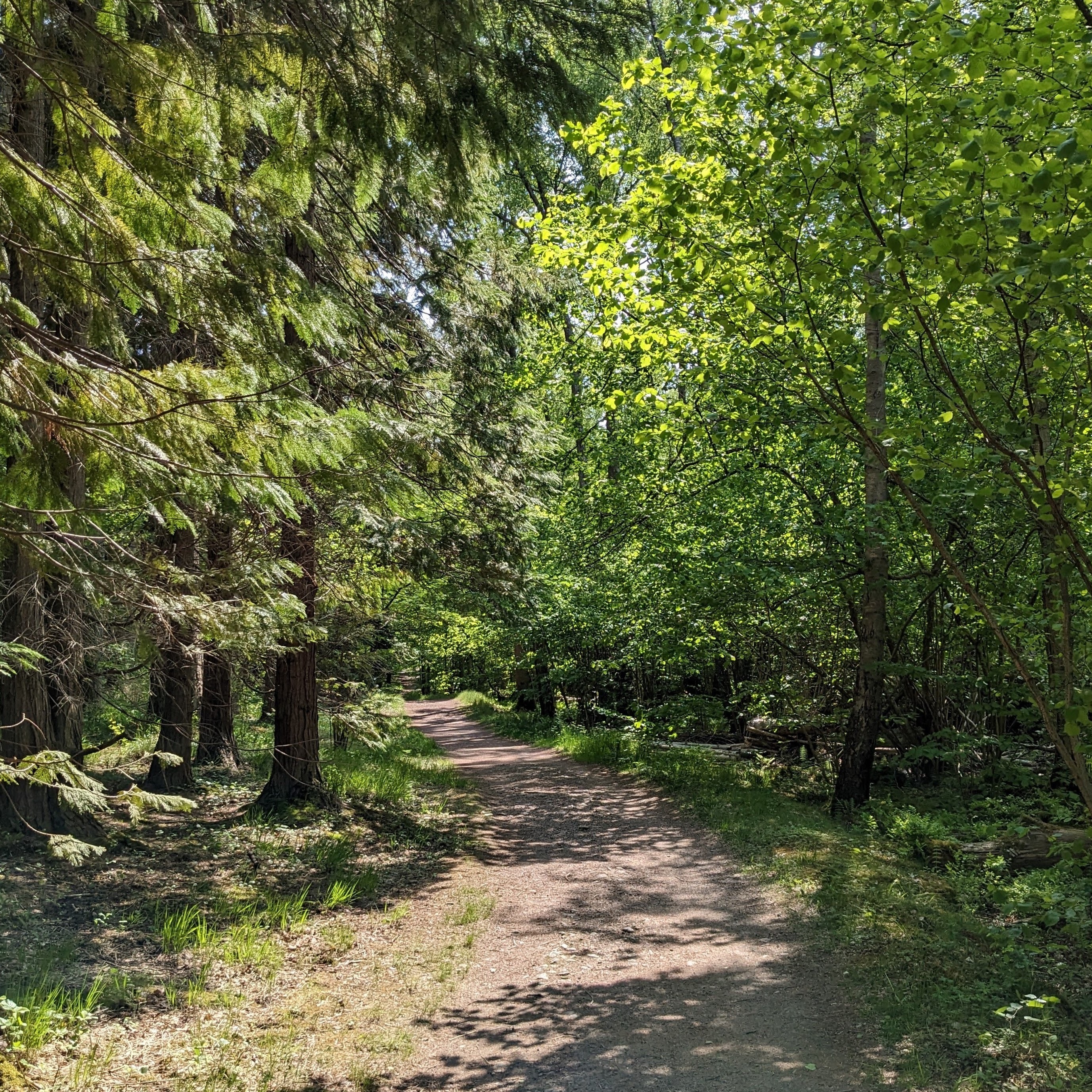
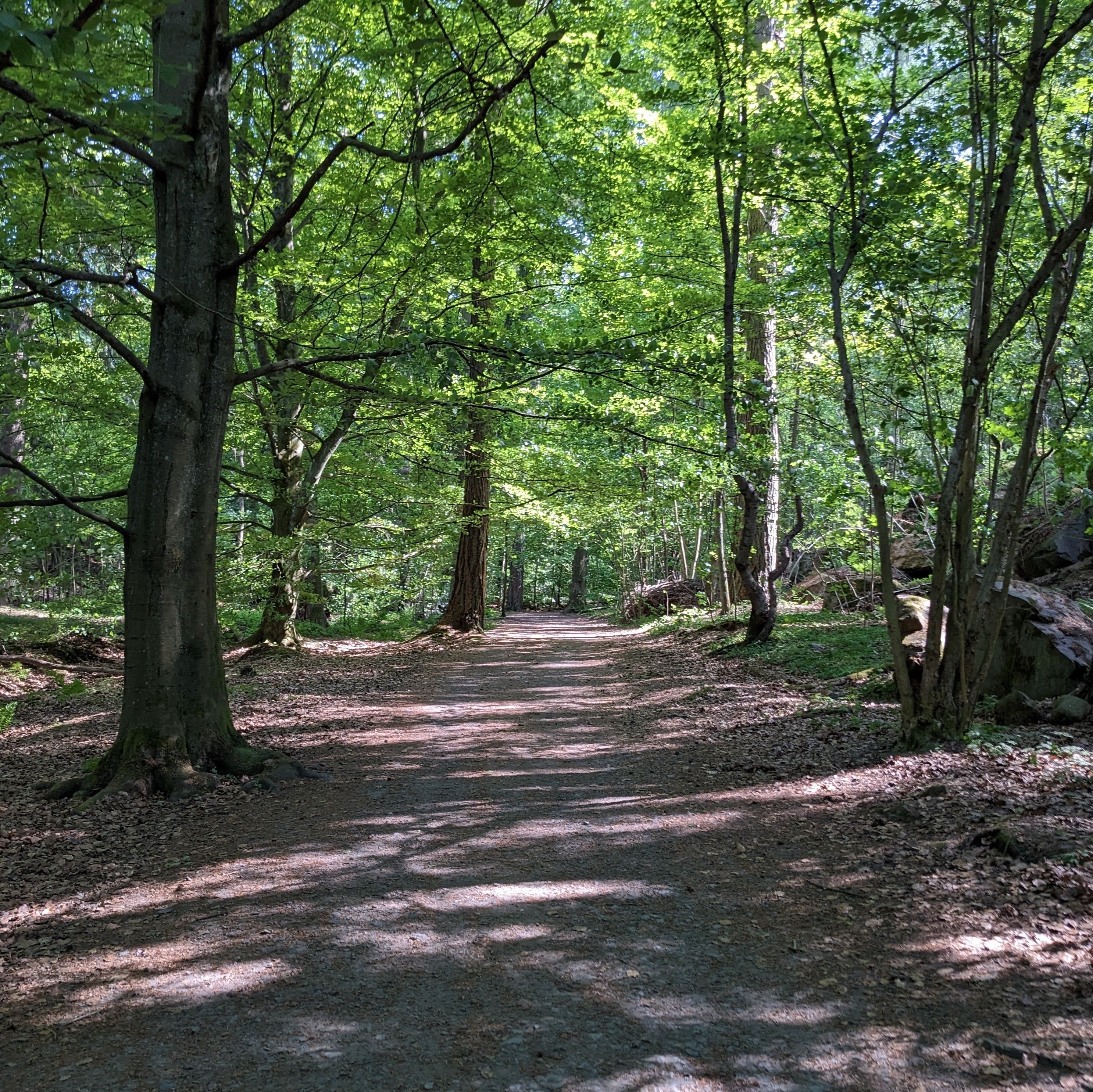
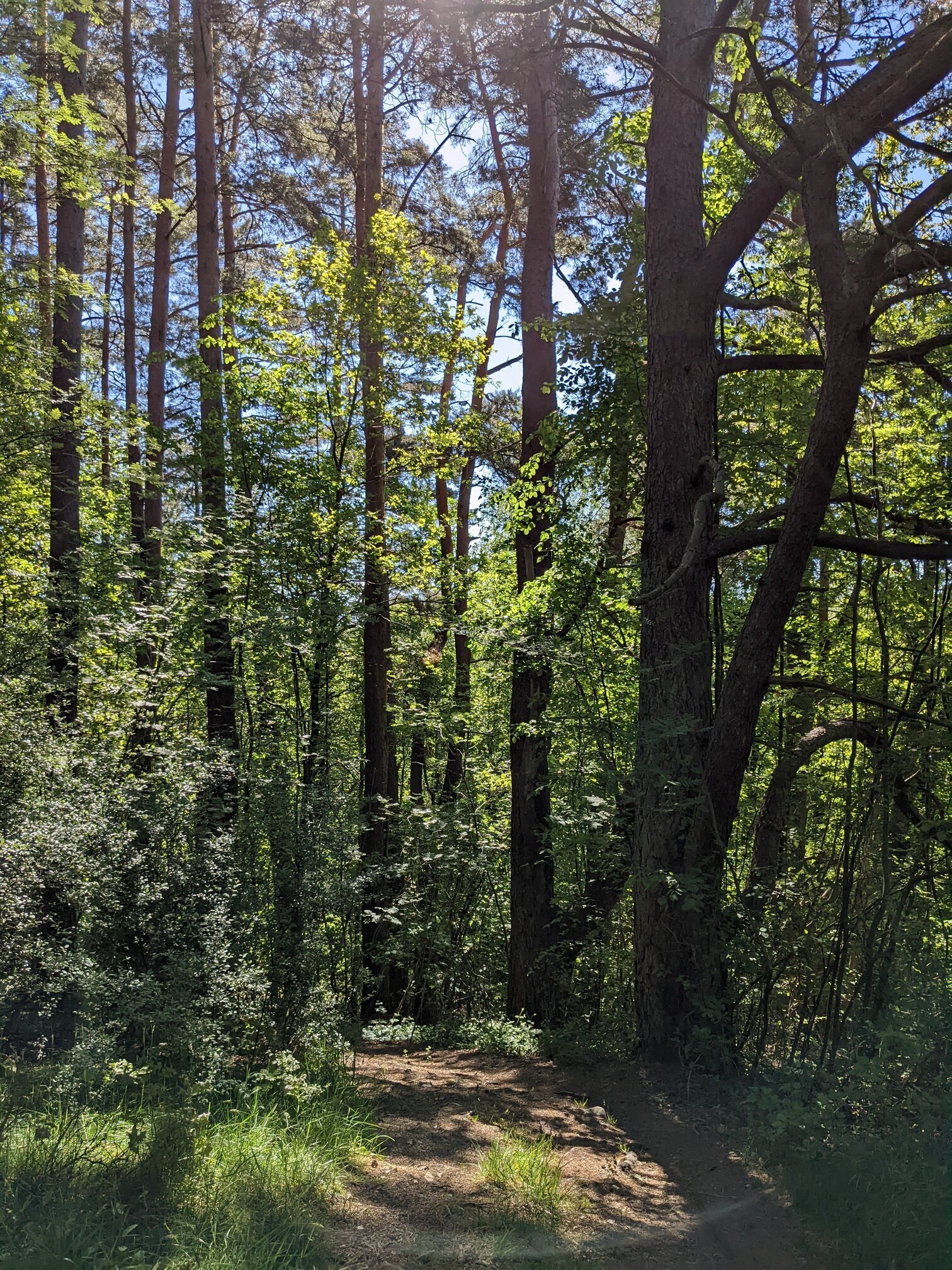
#path
As it's a #BankHoliday #weekend, we went on a hike on #Dartmoor. I planned it to be a visit to somewhere I hadn't been before but starting off from a familiar location. In total, the excursion was 18 km of walking and took the best part of 6 hours with all the stops and breaks. As anyone who has walked here before knows, it's not to be done without preparation and having a good #map and #compass with you is vital. Mobile phone reception is patchy at best and so I rely on a paper map and the tried-and-tested method of #DeadReckoning. Essentials include a pair of good quality #WalkingBoots, #WaterProof clothing available and you should always prepare to be colder than you would be in town. As the terrain is quite rough and the vegetation can be thorny along with the presence of insects, #Shorts are not recommended unless you're happy to have grazes and bites by the end of the trip. The elevation is between 400-500 m above sea level and it is one of the wettest places in #England. It is also exposed to high winds.
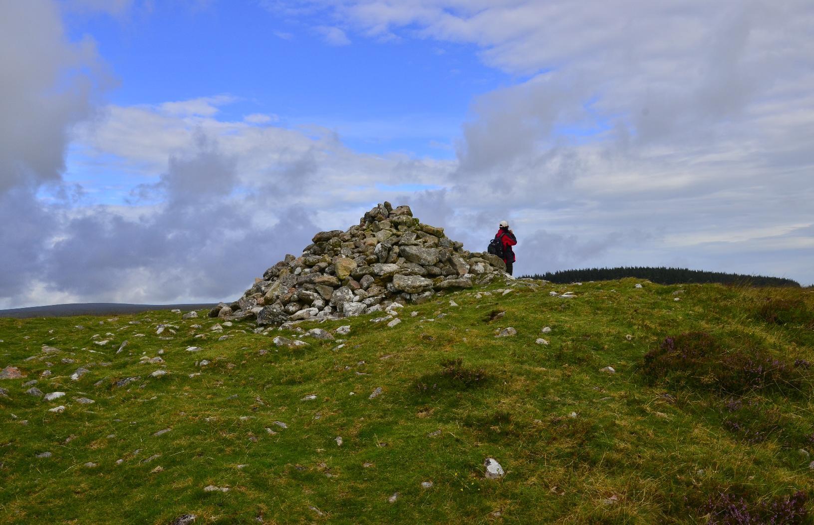
The start of the journey was easy enough, just a short climb up to a #Cairn.
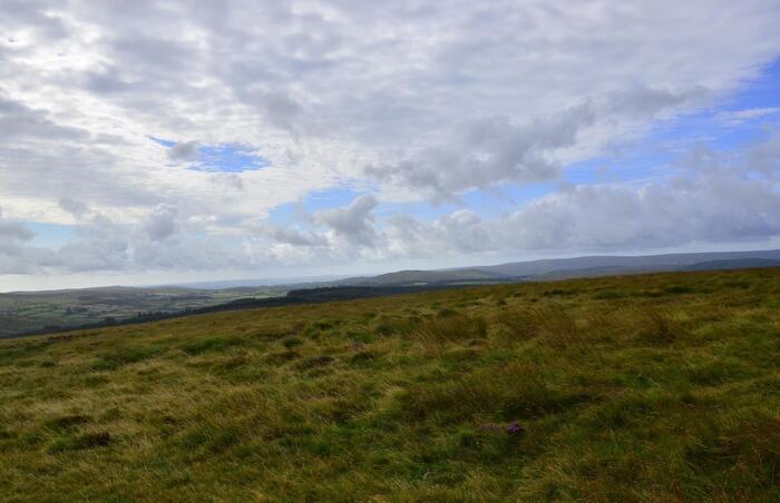
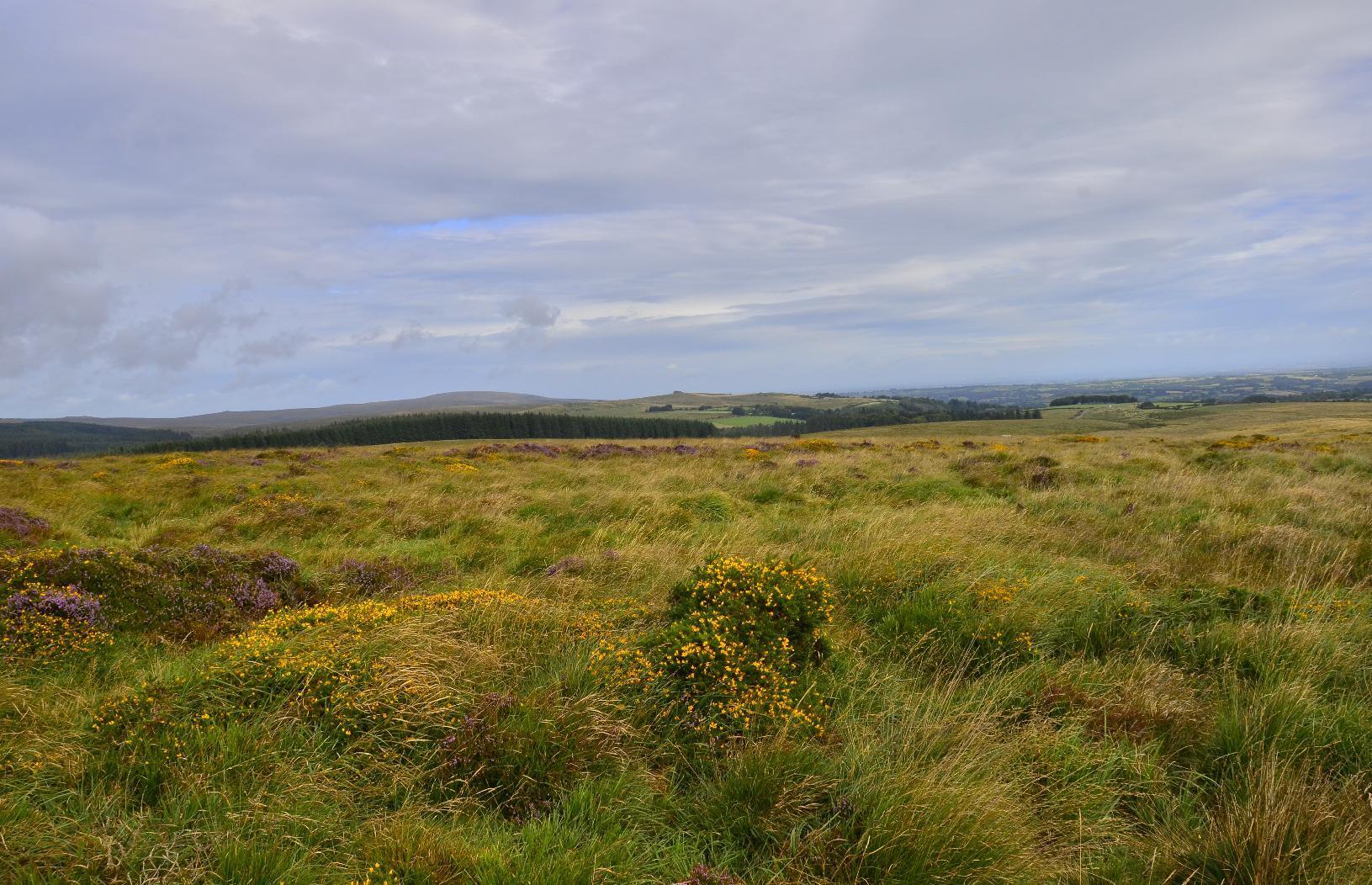
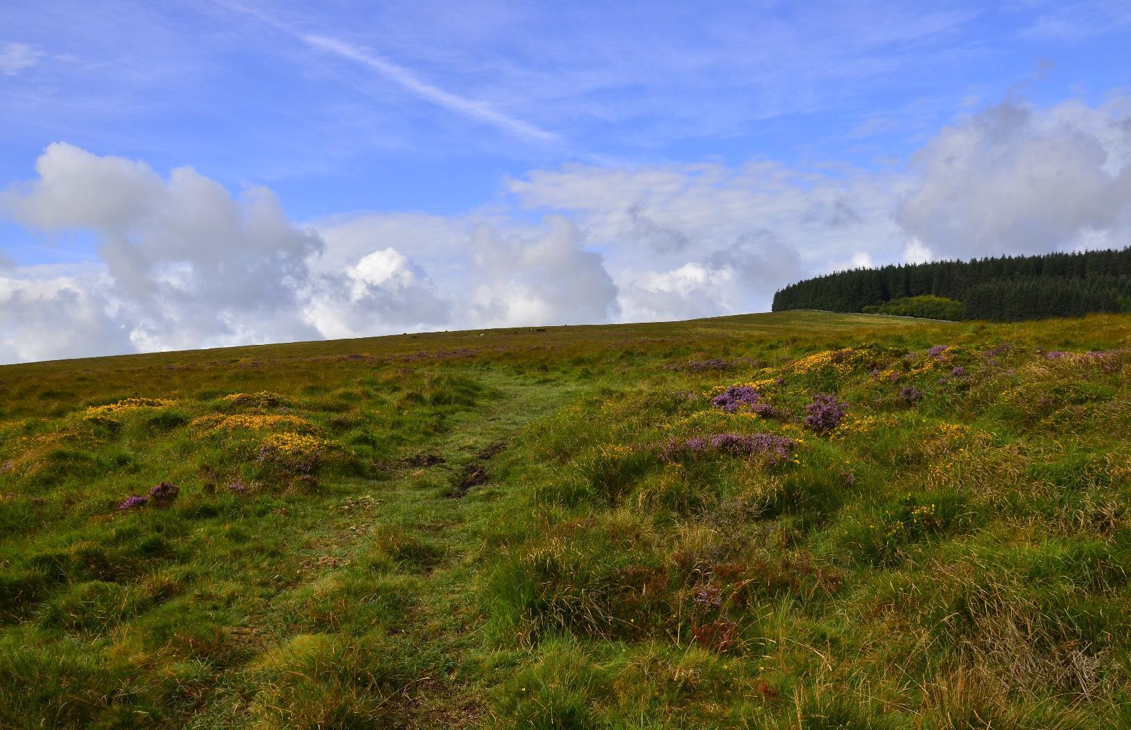
Until you join a #path or #bridleway, you have to negotiate #gorse which, if you're not careful, could easily mean a twisted ankle. However, the wild #flowers are very colourful. You can also see part of #FernworthyForest in the background, which is where we were headed.
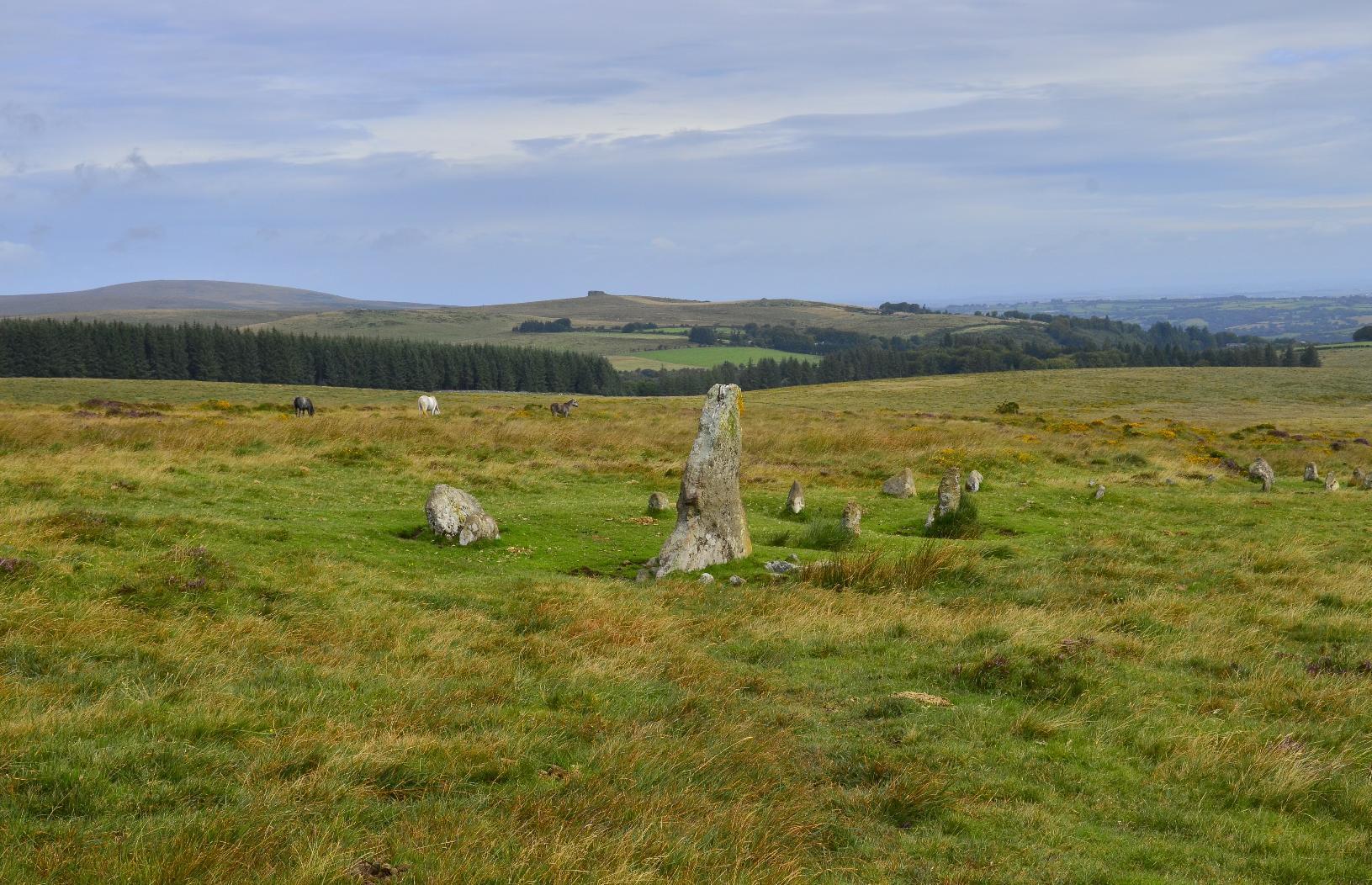
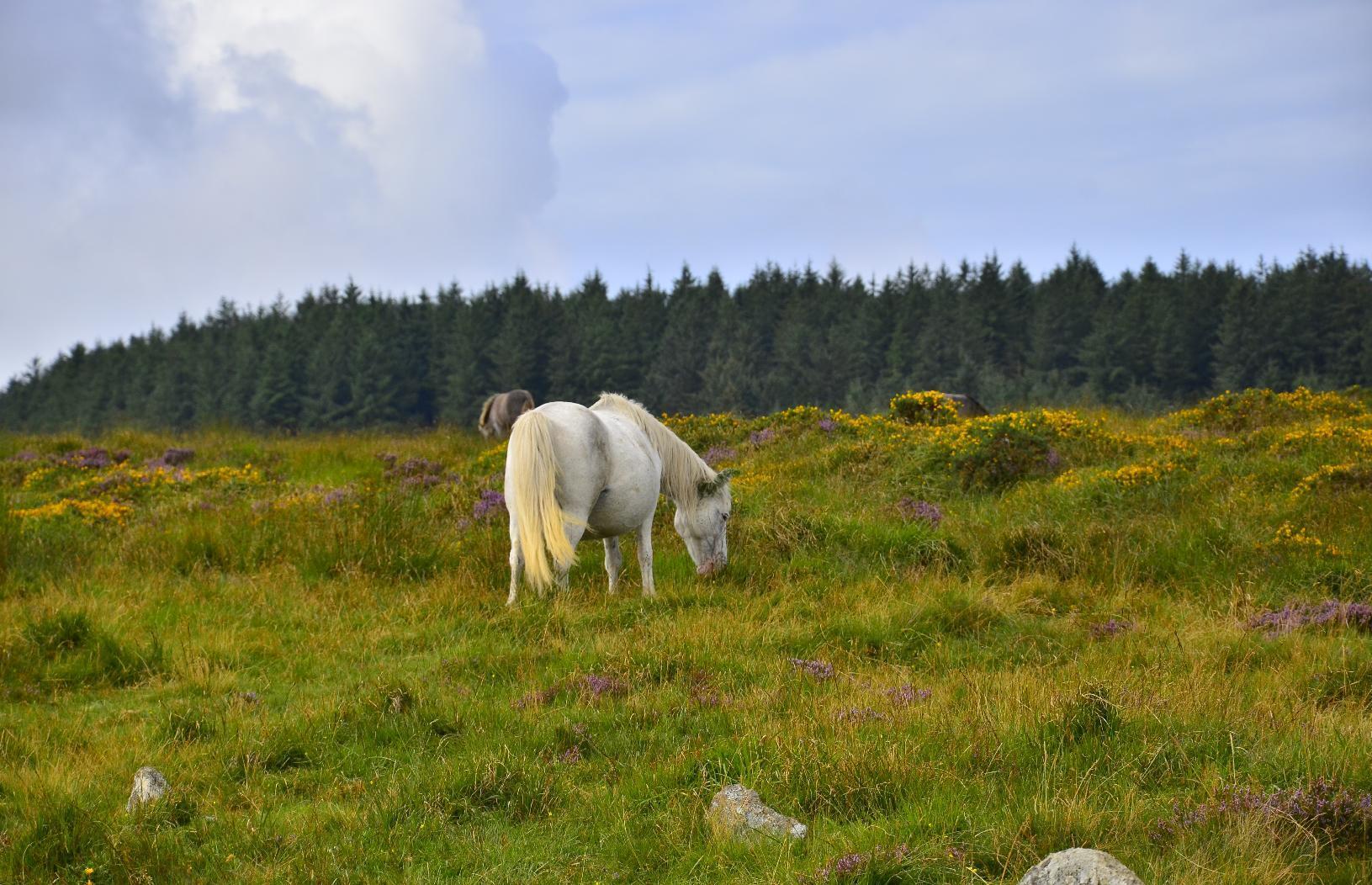
On the way to our first target, there were some #Neolithic artefacts such as these #StandingStones. There are some wild #DartmoorPonies in the background and I took a zoomed-in image of one of the ponies -- it's best not to get too close to them.
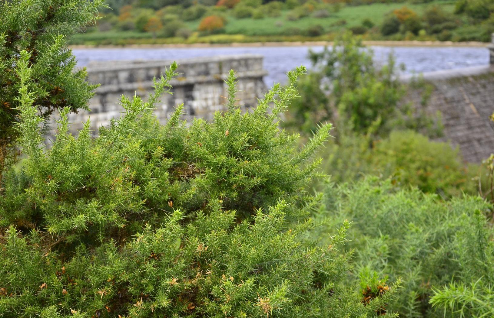
The first destination on the itinerary was #FernworthyReservoir. It has a #MasonryDam, which is not a common form of #Dam, most being concrete or earth (embankment) dams in the #UK. There is a another one in Dartmoor and so I'm guessing there was a trend to build such types at the beginning of the twentieth century, which is when I happen to know the other one was built. Neither the dam nor the #reservoir are very big but they do provide water for nearby populations.
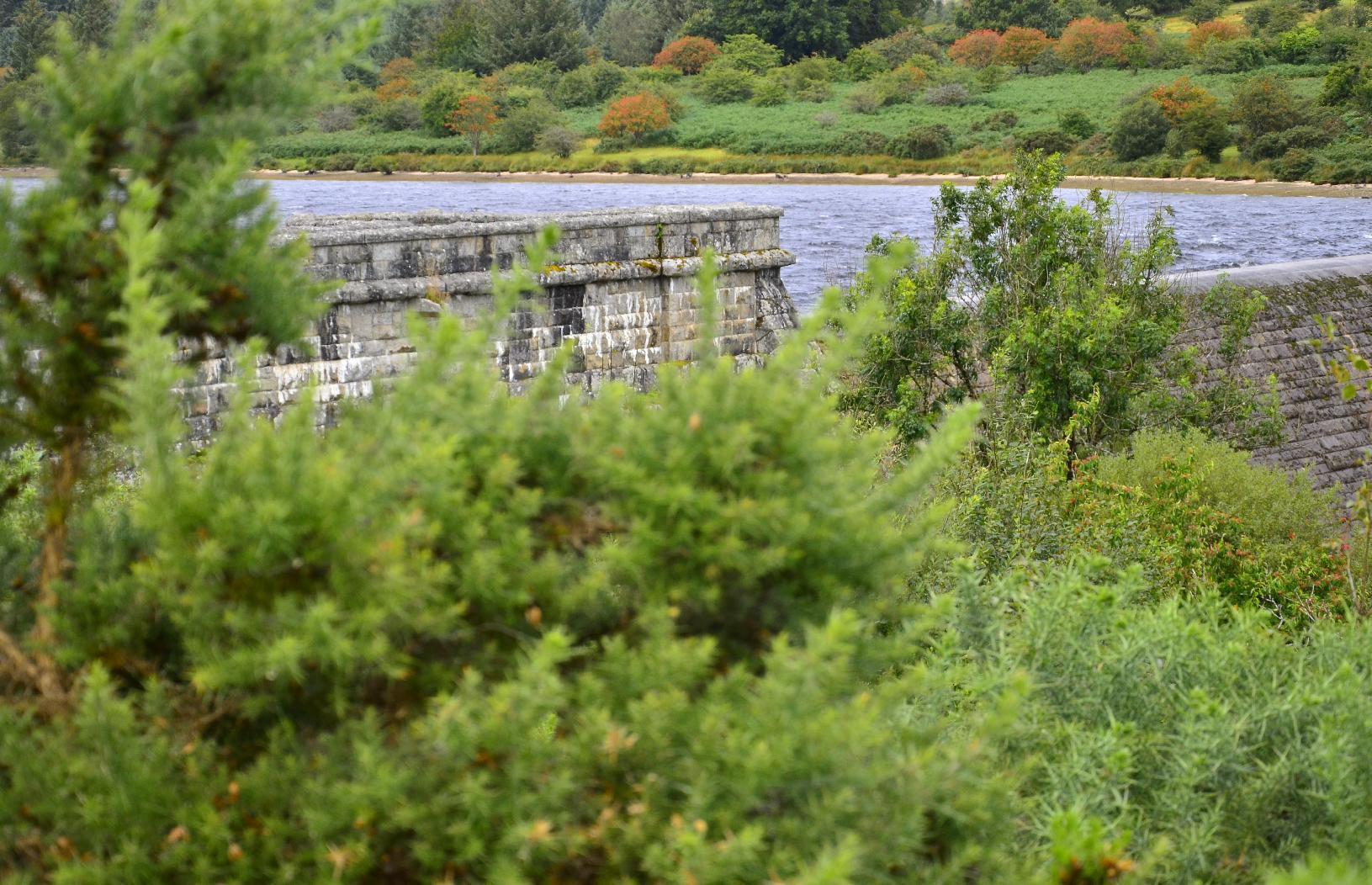
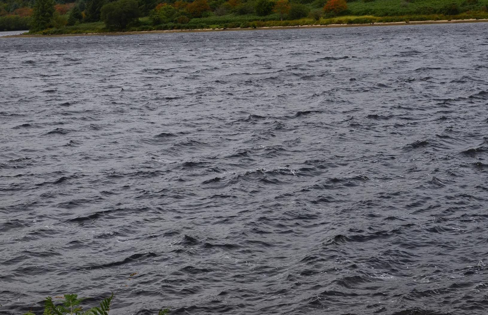
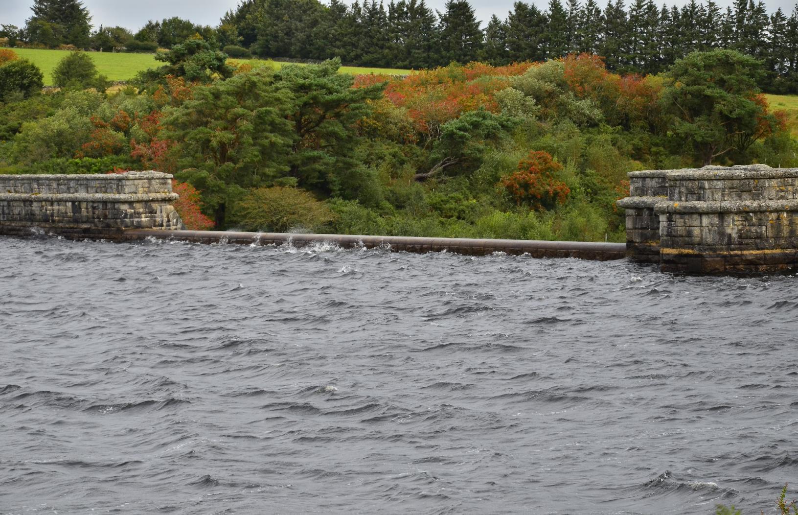
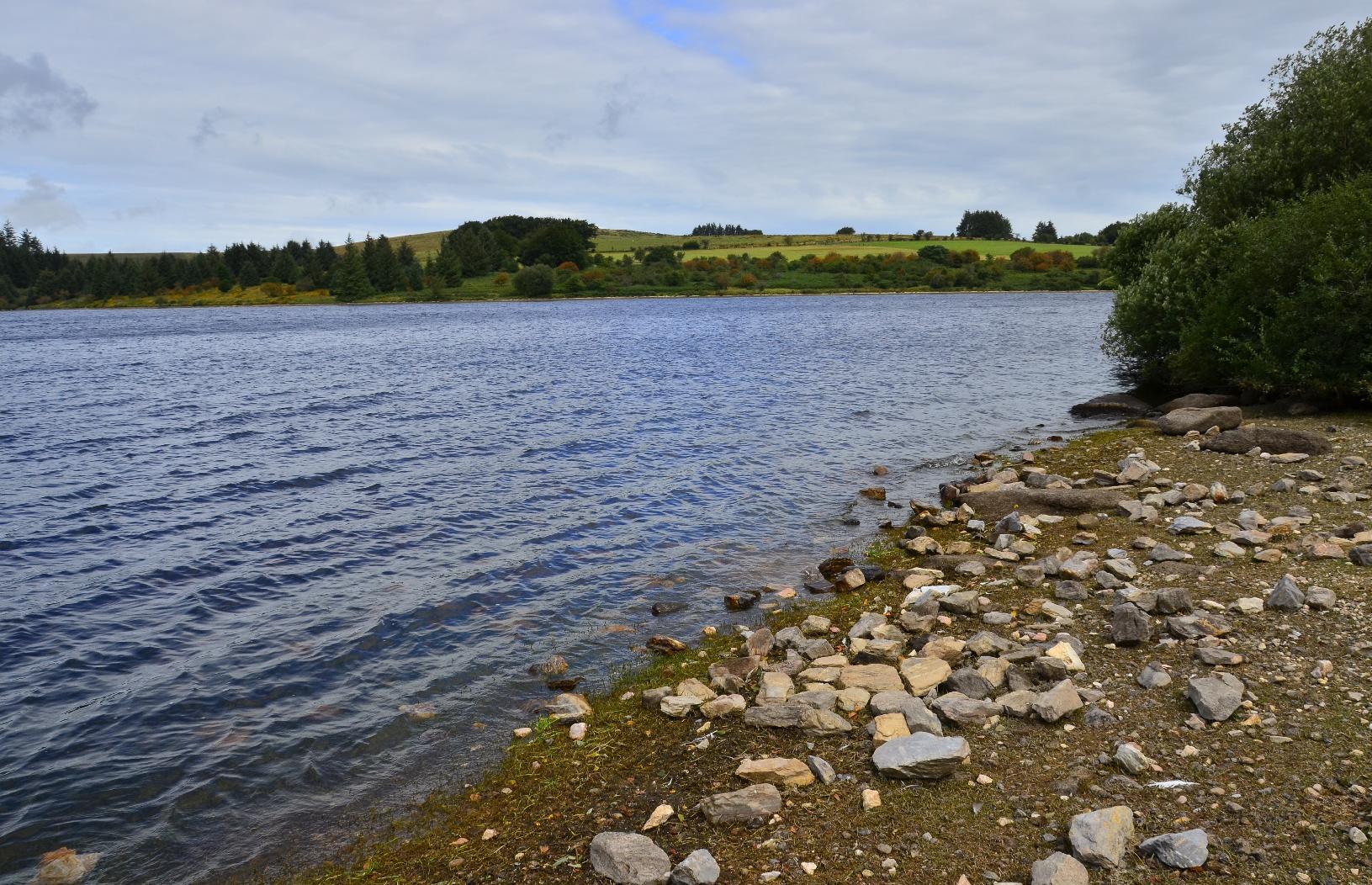
The surface of the reservoir was quite choppy owing to the windy conditions. Also, the level was near the maximum and right up to spillway at the centre of the dam.
Fernworthy Forest is a #conifer forest, which I think is not natural, rather being there to provide timber. There are many track through it but none are marked and so the only way to find out which way you're going is to use a compass. I was uncertain of my precise location after a while but I knew that if we kept heading in a westerly direction, we'd eventually get to the other side.
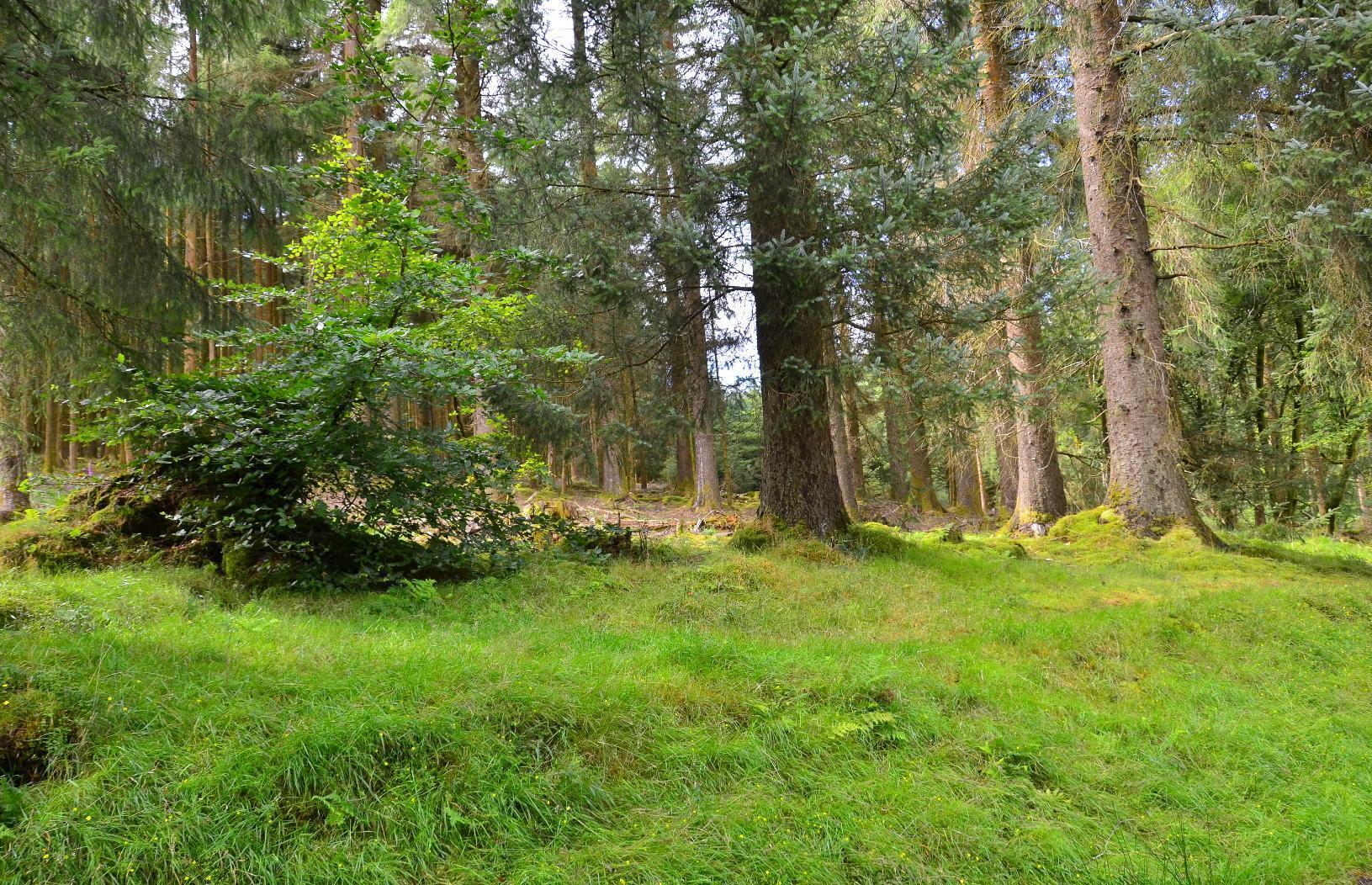
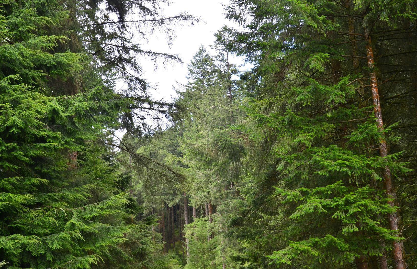
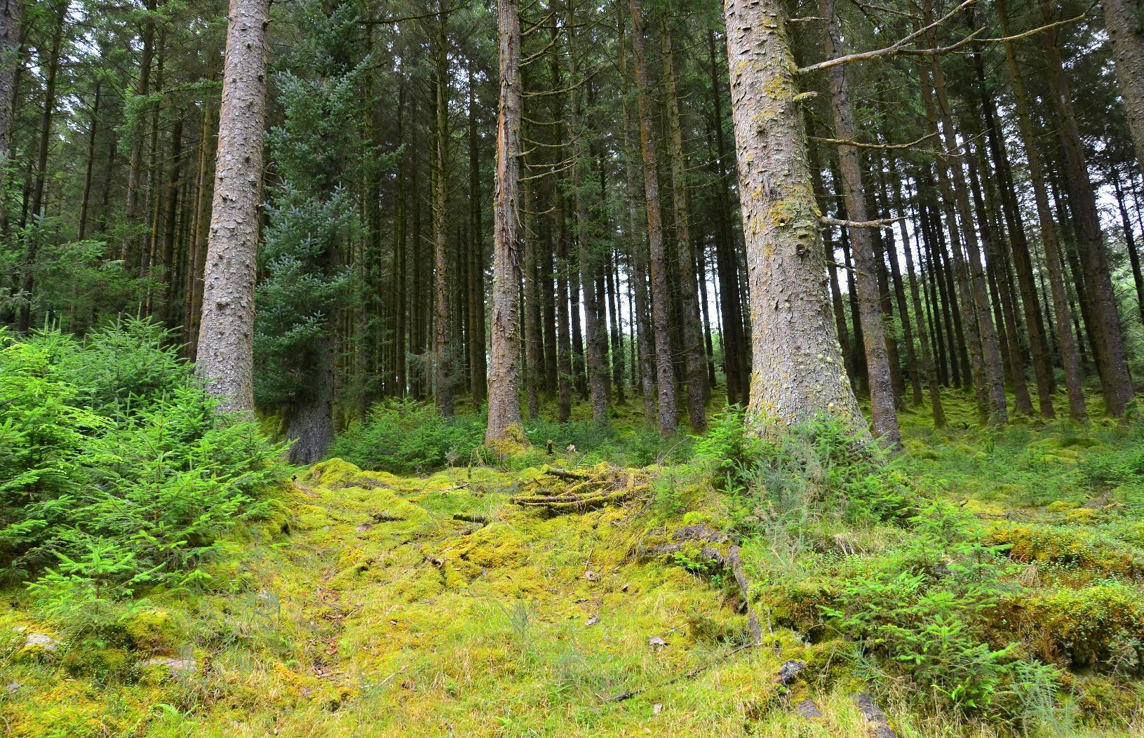
Once out of the forest, it was a matter of heading south towards the main road. The weather forecast was spot on and it started to rain right on cue. Once over a rise, eventually we found a bridleway down.
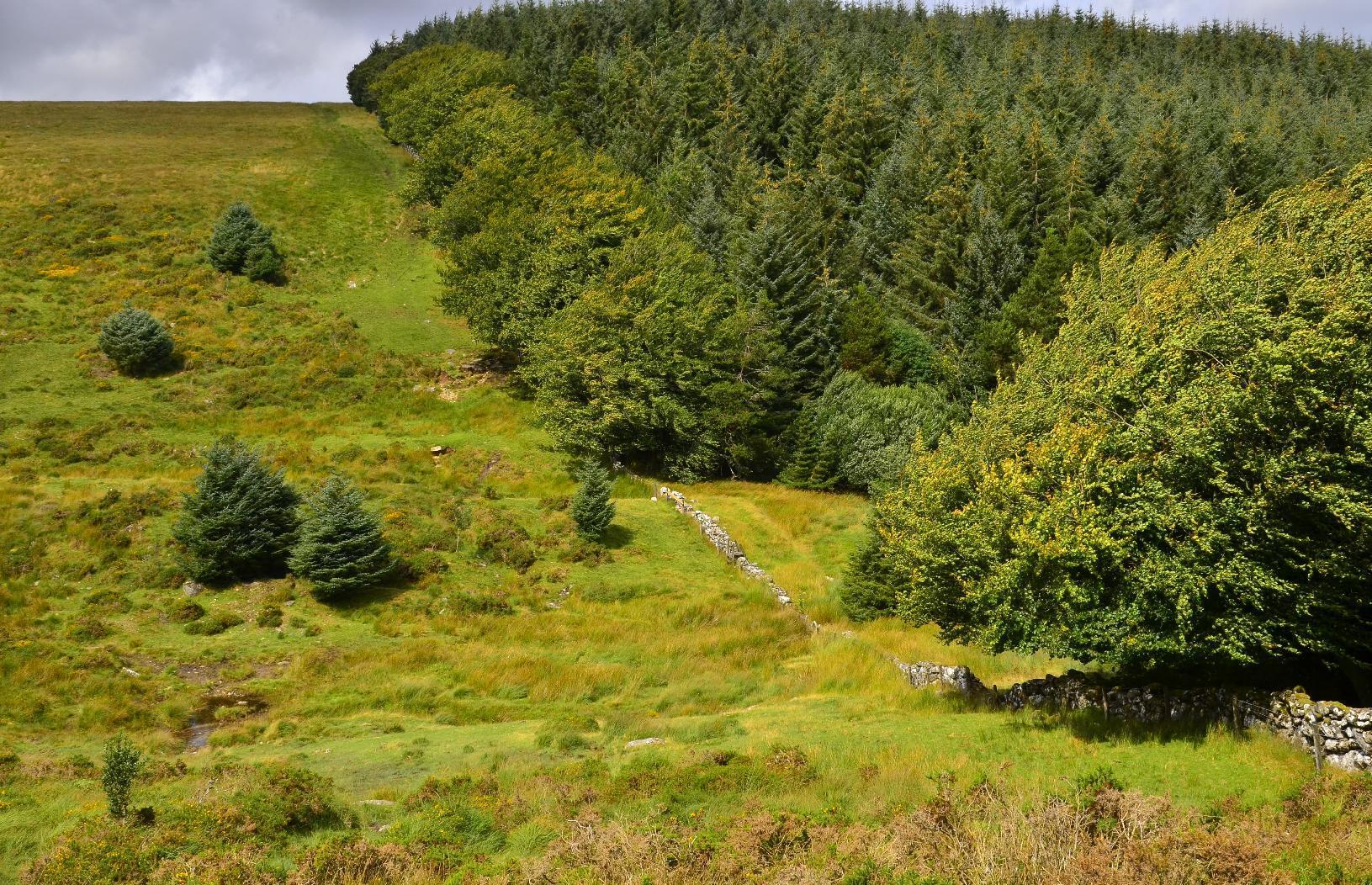
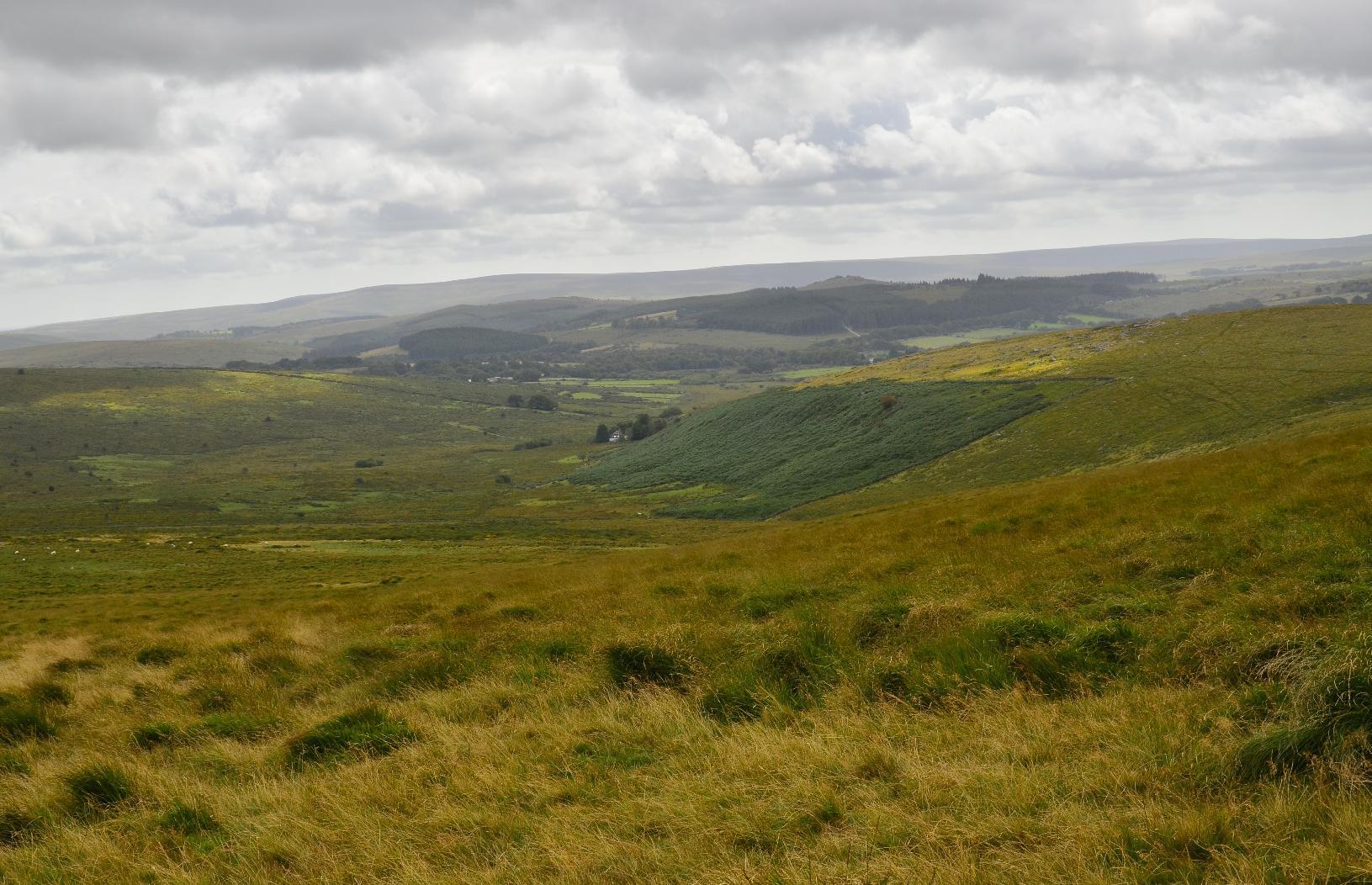
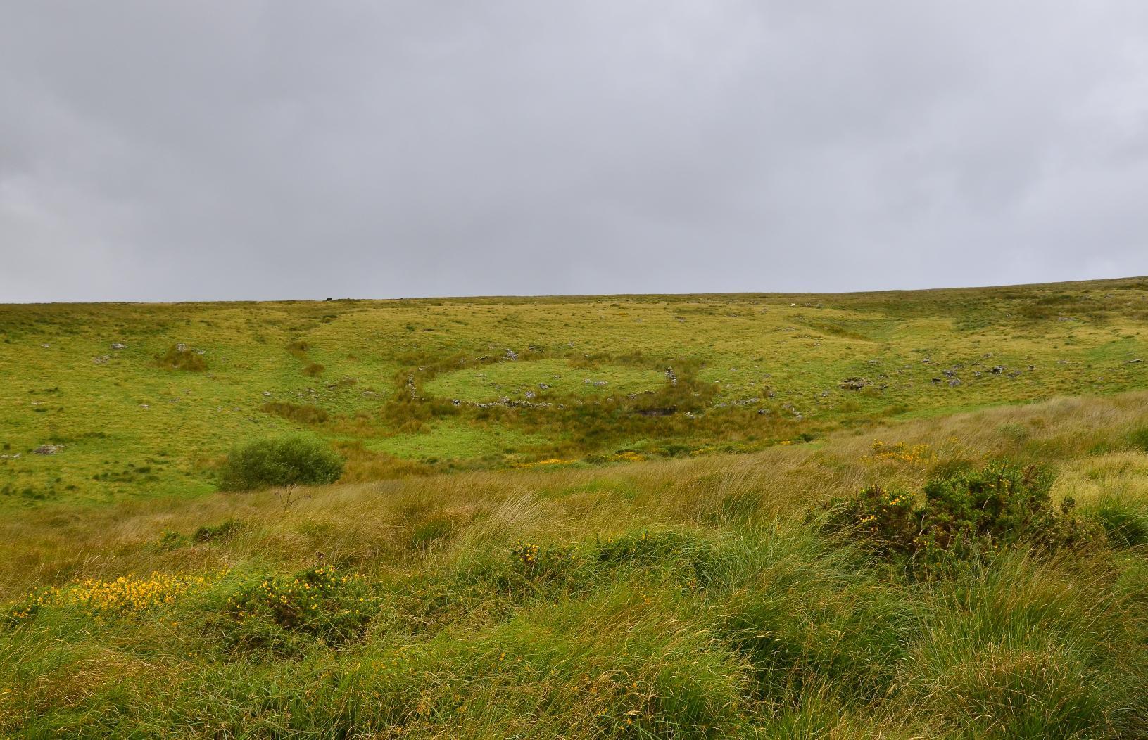
Once we passed this #StoneCircle, I knew we were on the right track as it's marked on the #OSMap. The journey from there was quite straightforward, although still another 5-6 km to go.
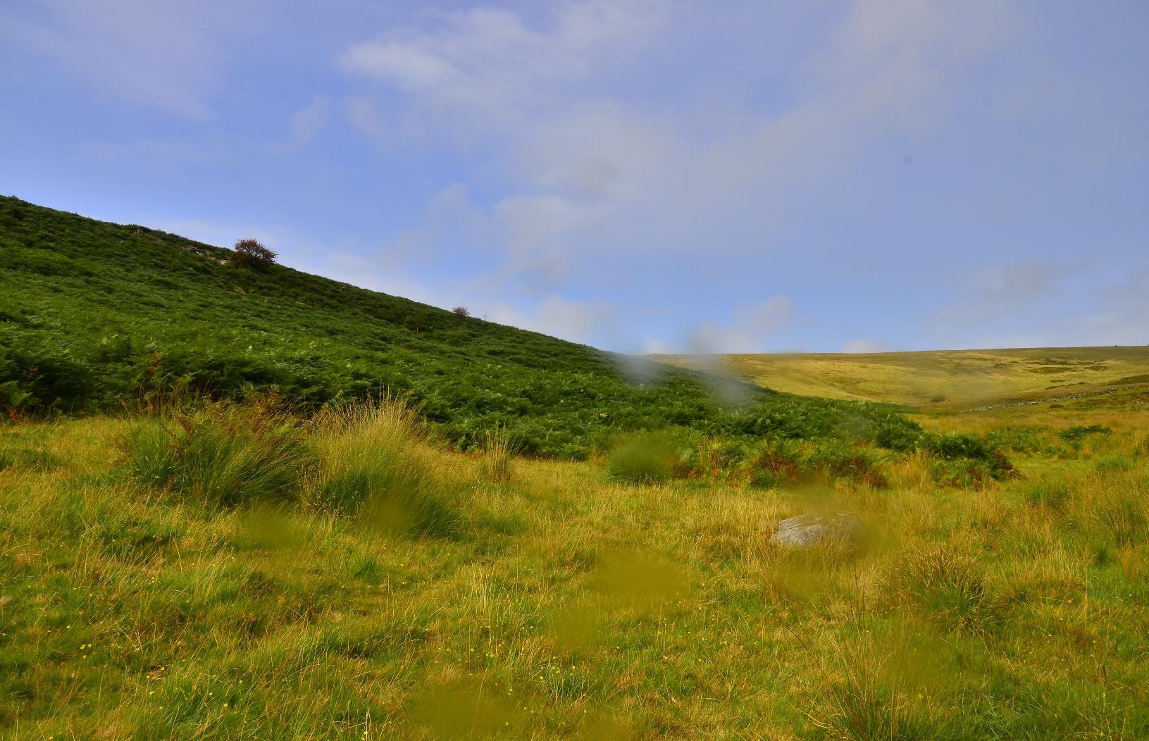
The last leg of the journey was on a main road, without a separate footpath but just before getting onto that, I looked at the path we'd taken and also to the other side of Dartmoor.
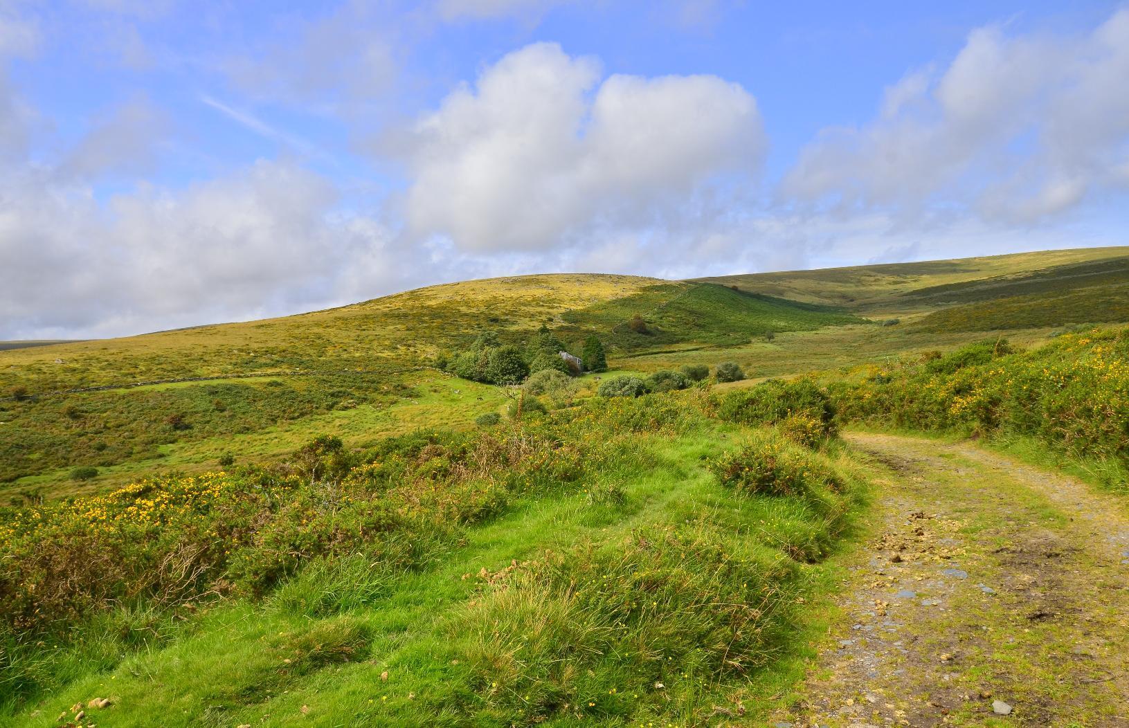
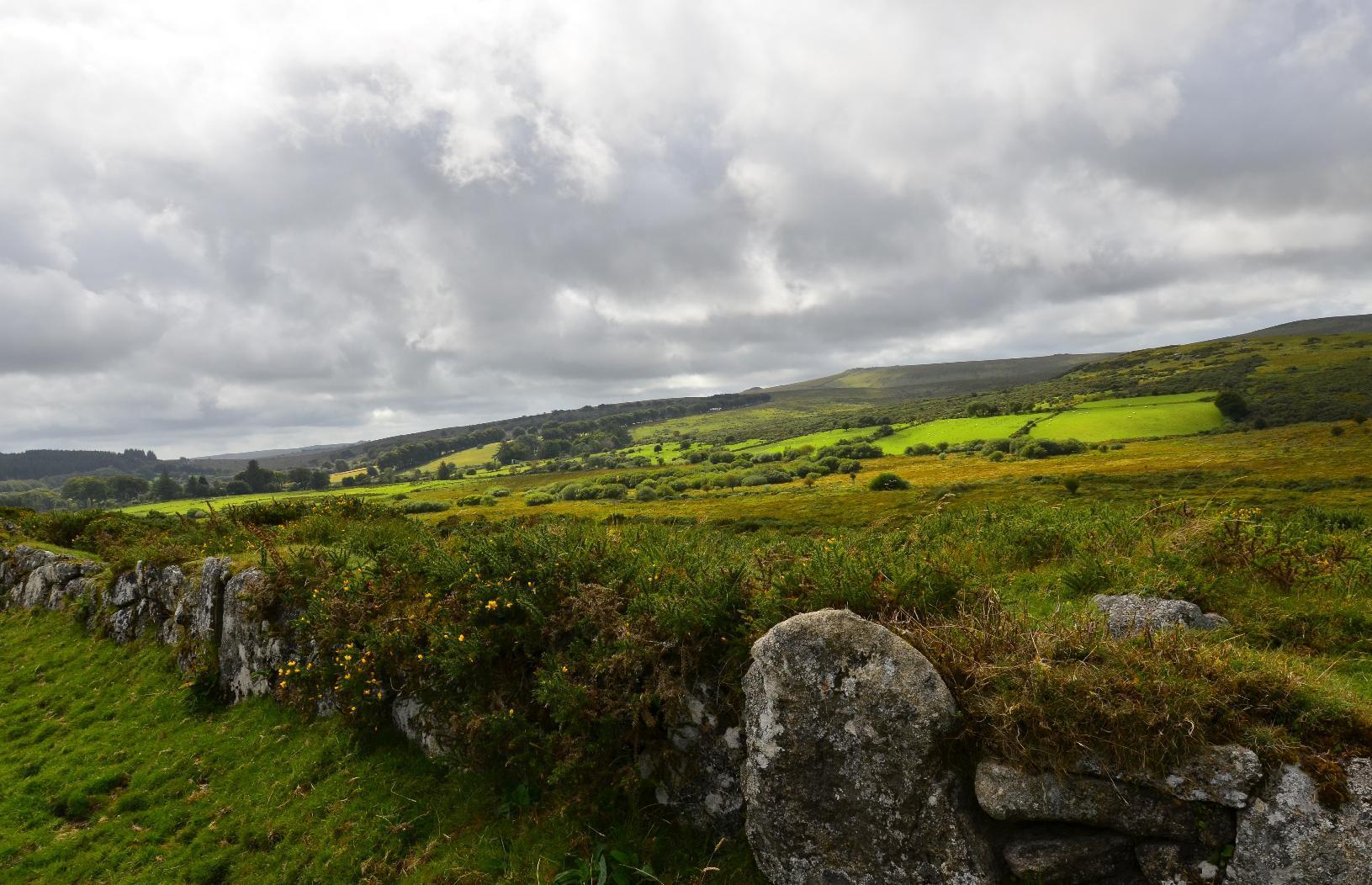
#MyWork #MyPhoto #CCBYSA #DSLR #Nikon #D7000 #Summer #Countryside #Moorland
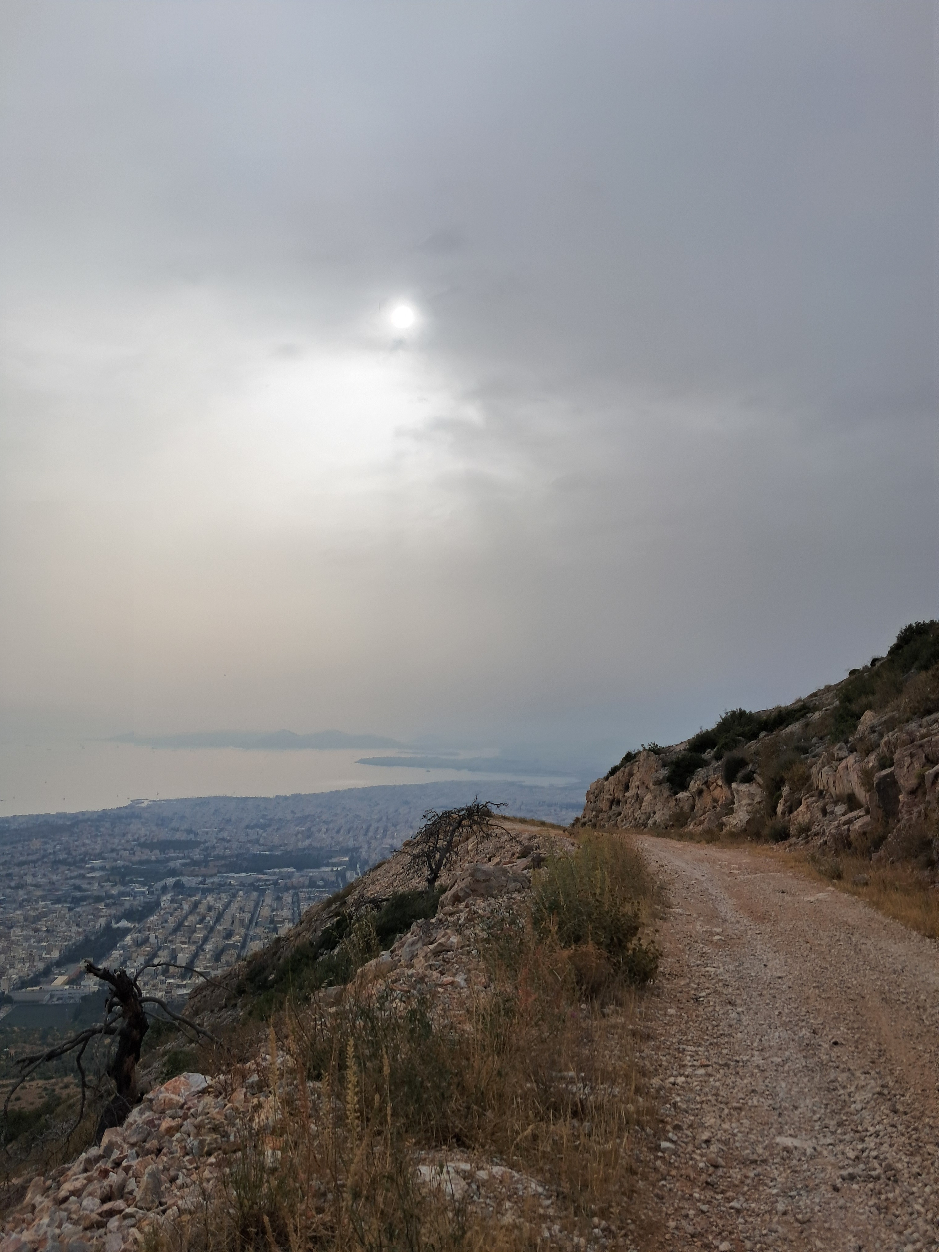
Mountain, sea and city: welcome to Athens area.
#mountain #sea #landscape #seascape #path #hymettus #eridanos #kairos #athens #athensarea #greece #trekking #walking #exploring
May 07, 2024
#Everything takes you here ...
https://www.youtube.com/watch?v=T09f4MPy4x8
#MarkDevlin has been exposing the dark secrets behind the music industry for the last few years. He joins me in the studio to discuss how the rabbit holes always lead back to a #spiritual #path.
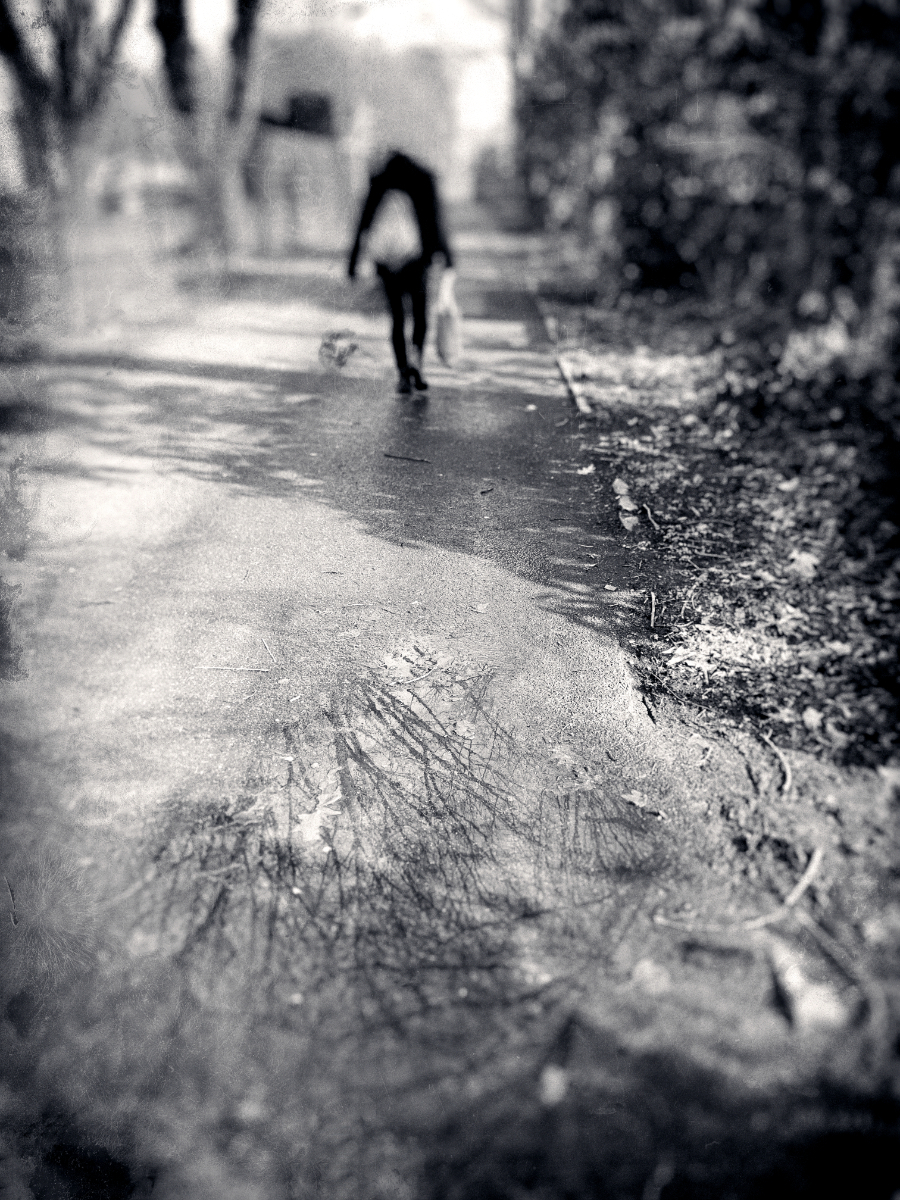
#mywork #myphoto #photoedit #photo-edit #blackandwhite #sw #walk #headless #trees #path #reflection_puddle
headless walk...
MARK INTERVIEWED BY #JAY-PARKER ON THE #CENTER #PATH - 2024-01-18
#MarkPassio #interview
https://www.bitchute.com/video/8tJ2WYvmI2Rf/
Golden Path - The Chemical brothers
https://www.youtube.com/watch?v=jTqwe57ObFo
#Golden #Path #goldenpatht #chemicalbrothers #thechemicalbrothers #musique #music #electronica #électro #triphop #rock

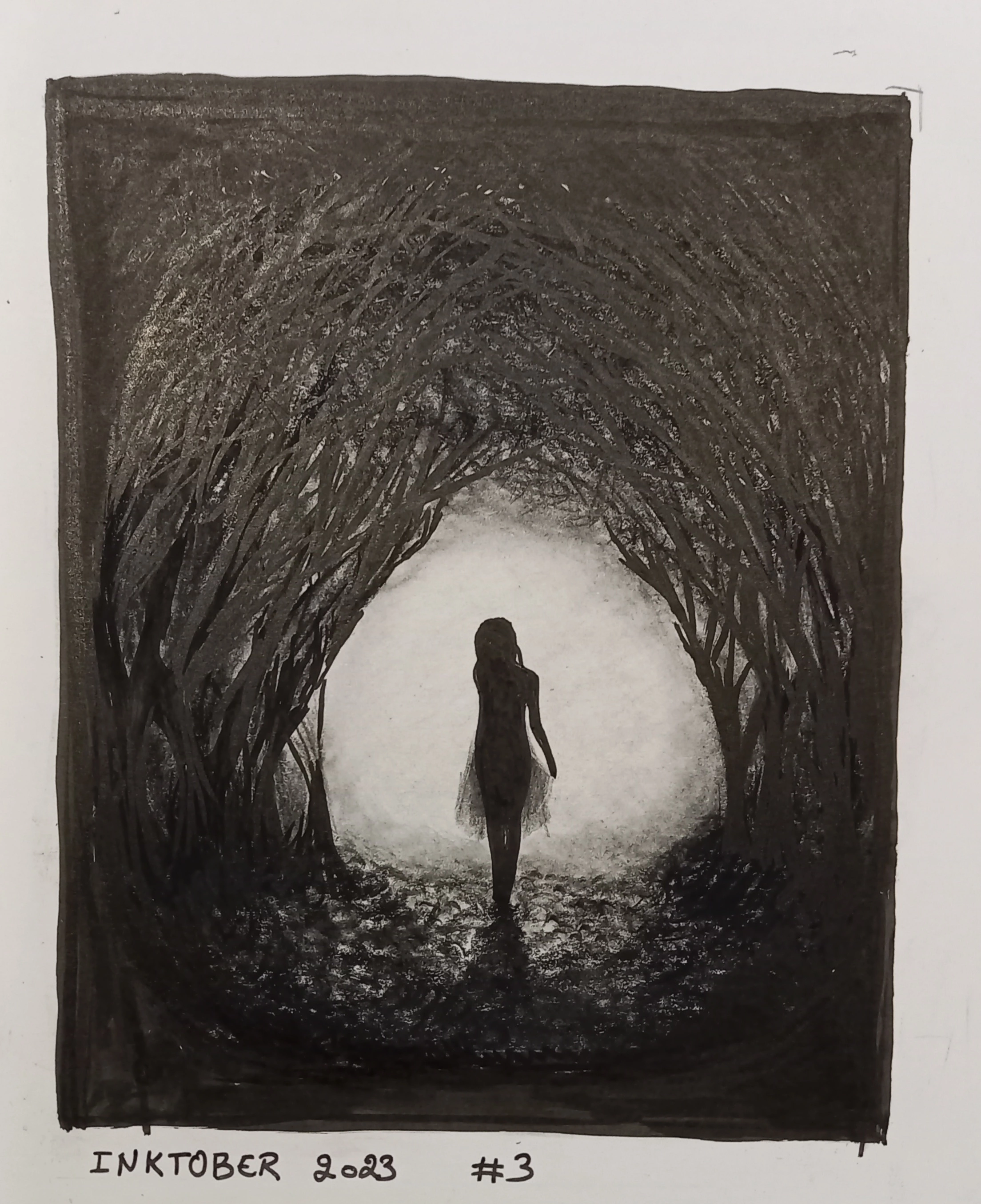
Le sentier d’or,
Le Secher Nbiw, comme disent les Fremens de Dune, ne le cherche pas sur une carte. C’est à toi de tracer ton chemin.
#chemin #sentier #sentierdor #path #golden #goldenpath #SecherNbiw #Dune #enfantsdeDune #EmpereurDieu #ghanima #leto #atréides #fremen #inktober #inktober2023 #dessin #drawing #gribouillage #art #amateur #mywork #D3 #enjomineur
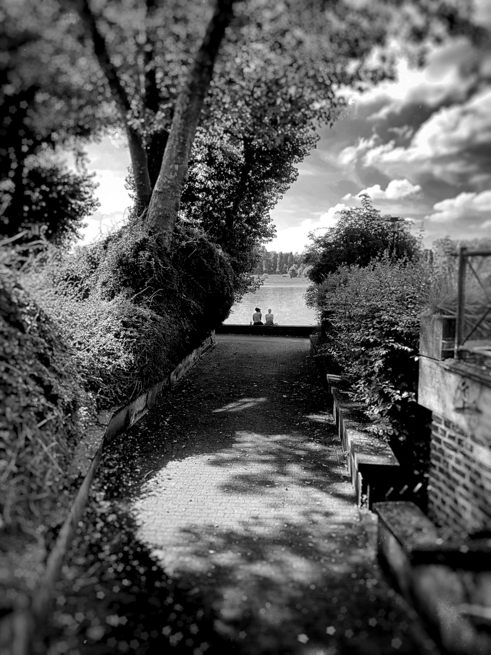
#myphoto #photoedit #photo-edit #blackandwhite #sw #trees #path #couple #river #dailyclouds
the river will flow at the end of the path...
The second full day of our visit to #BannauBrycheiniog was devoted to visiting #PenYFan, the tallest #peak in south #Wales. This was a very nice #walk of 15 km with some steep ascents and descents but no climbing.
Starting from the car park, a path started to climb gently upwards. You can see Pen Y Fan on the horizon near the centre of the image.
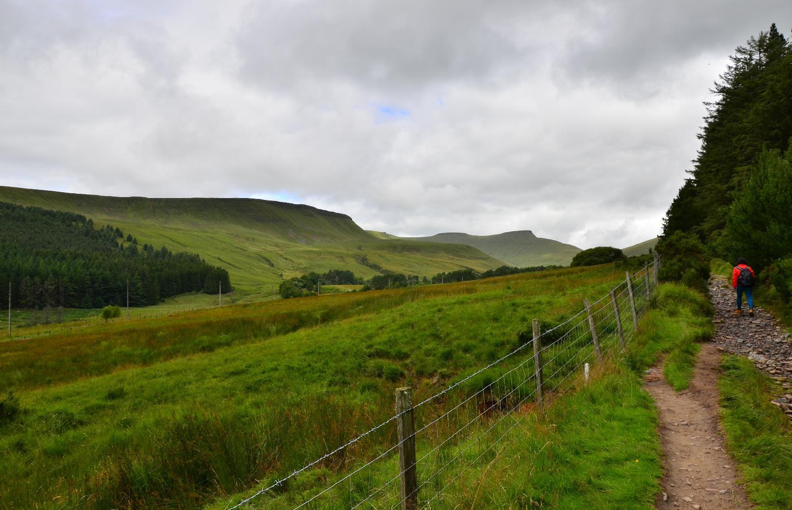
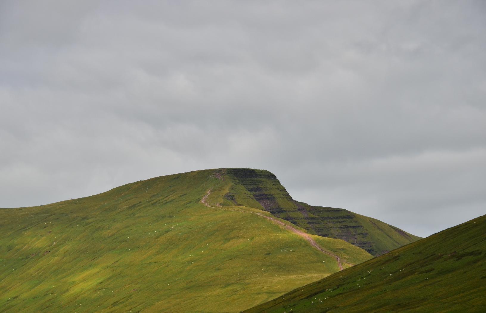
As we approached the #mountain, we could make out a #path up towards the summit.
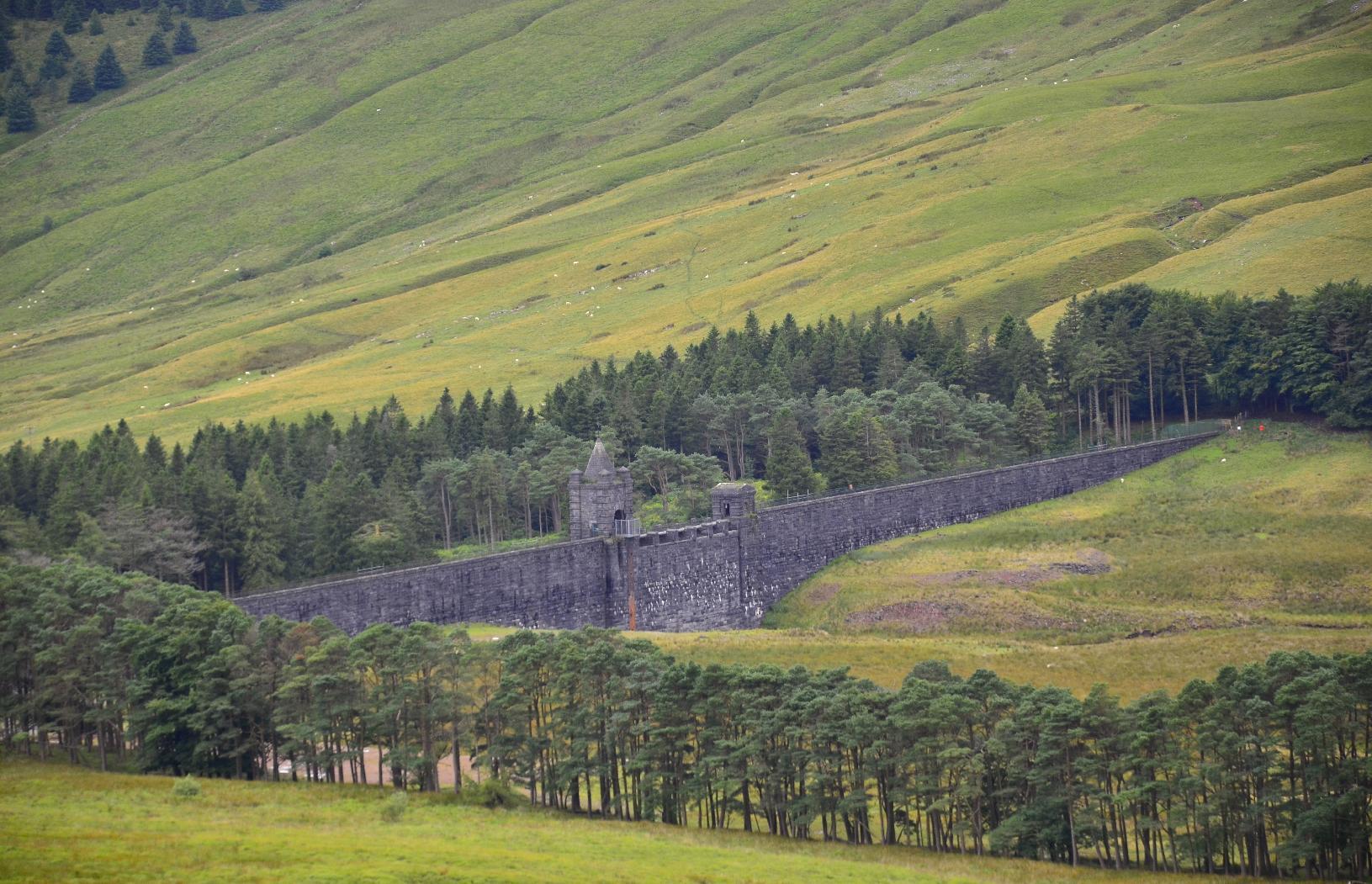
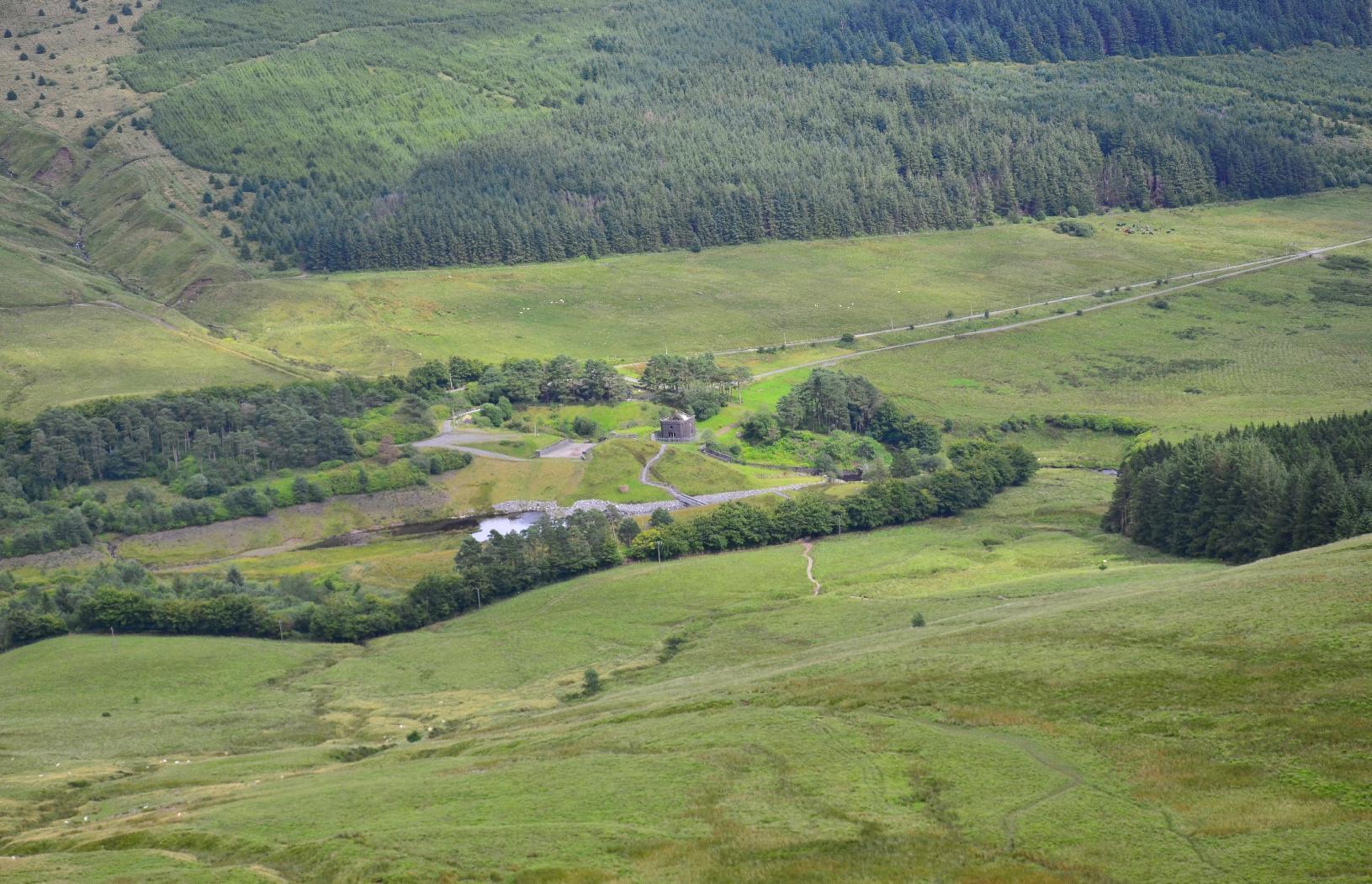
The path passes a small #reservoir and the #dam has an interesting castellated feature on it.
Along the way there are several valleys leading to #farm #fields.
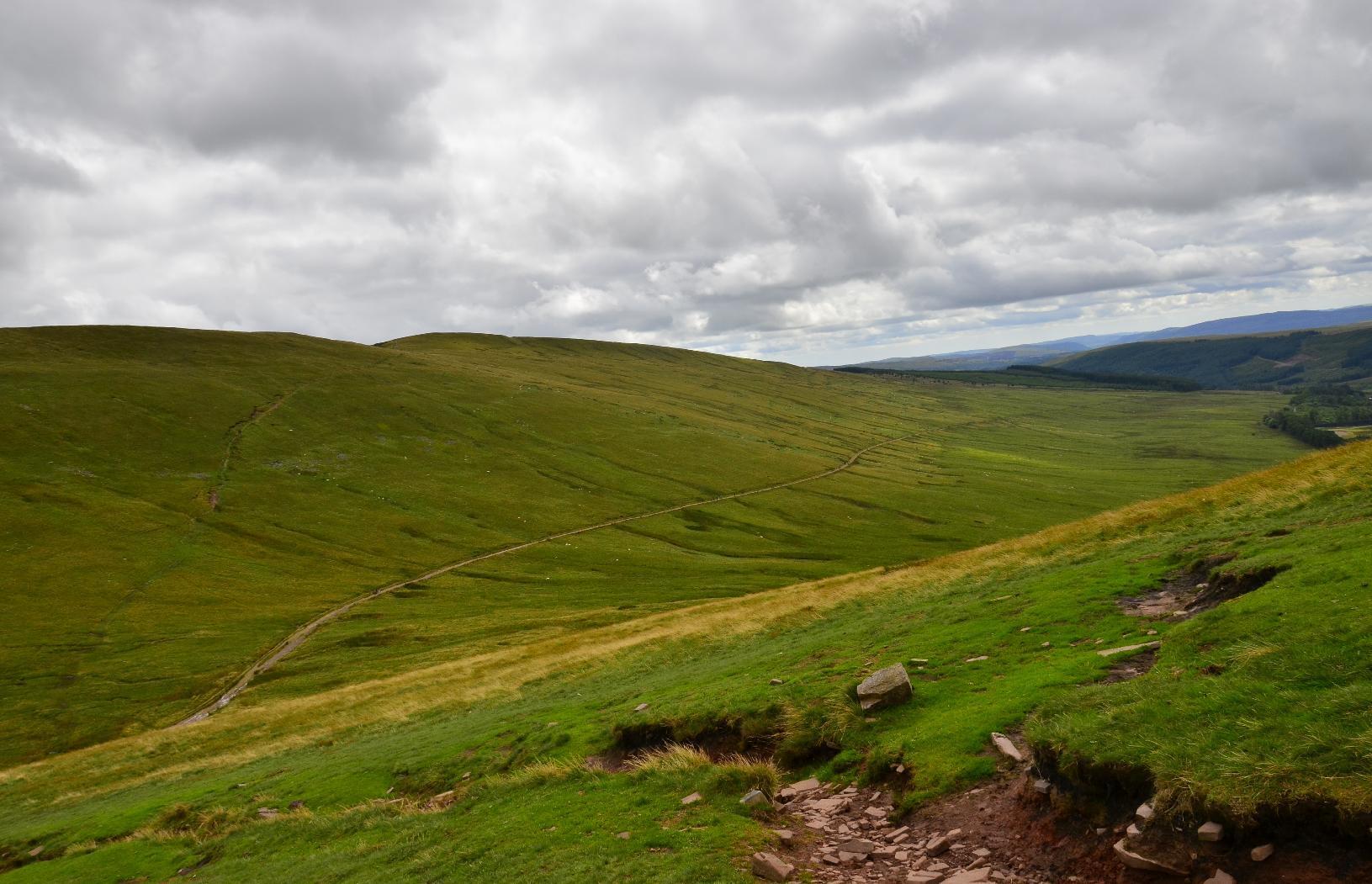
As the path turns, you can see where you've just come from.
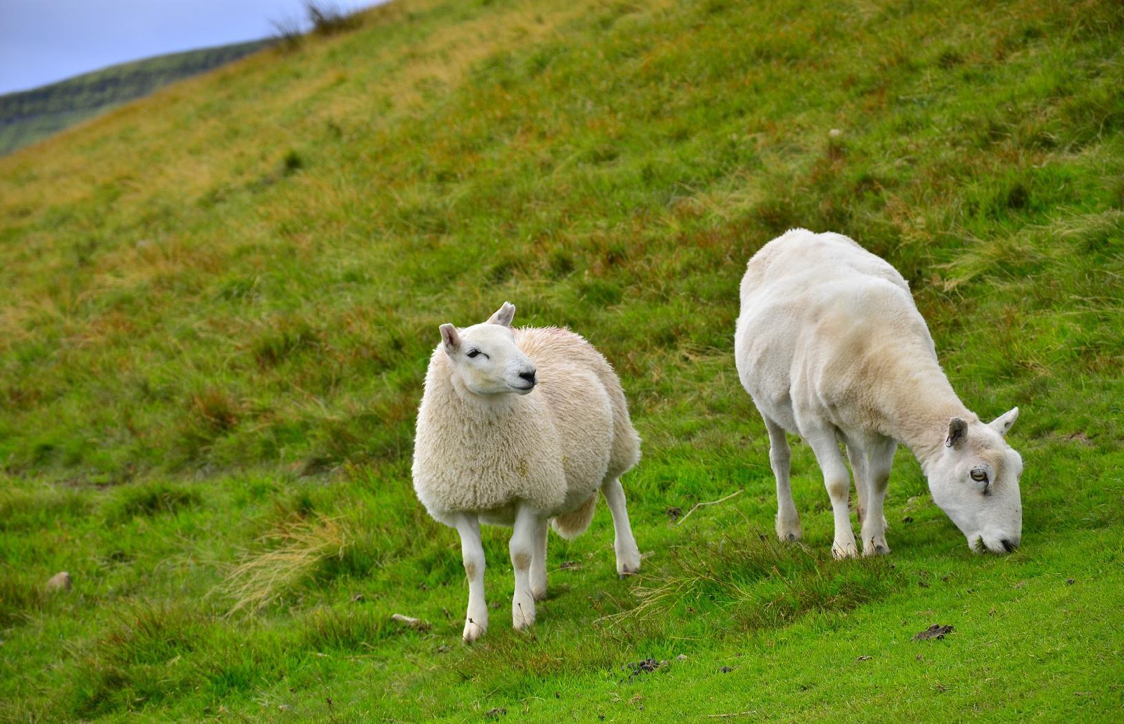
The land around the mountains are used for grazing #sheep. Here are two who have been shorn of their winter #fleeces.
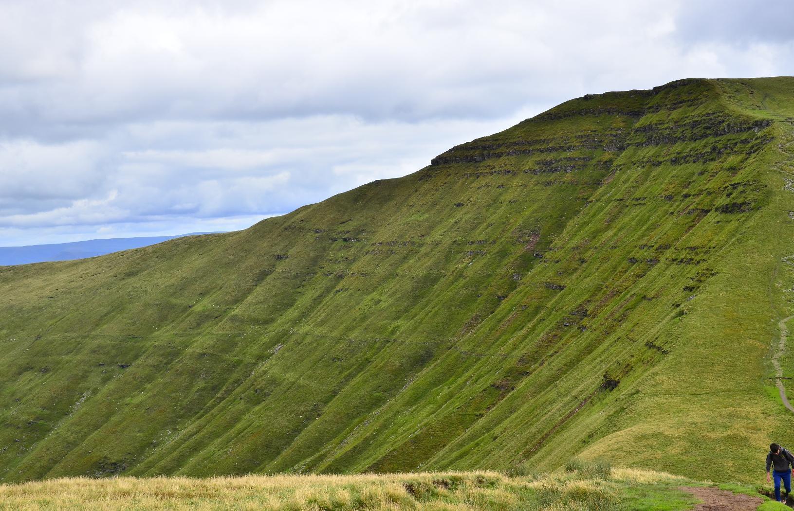
On the final steeper ascent up Pen Y Fan you can here see the craggy north side of the neighbouring mountain, #Cribyn.
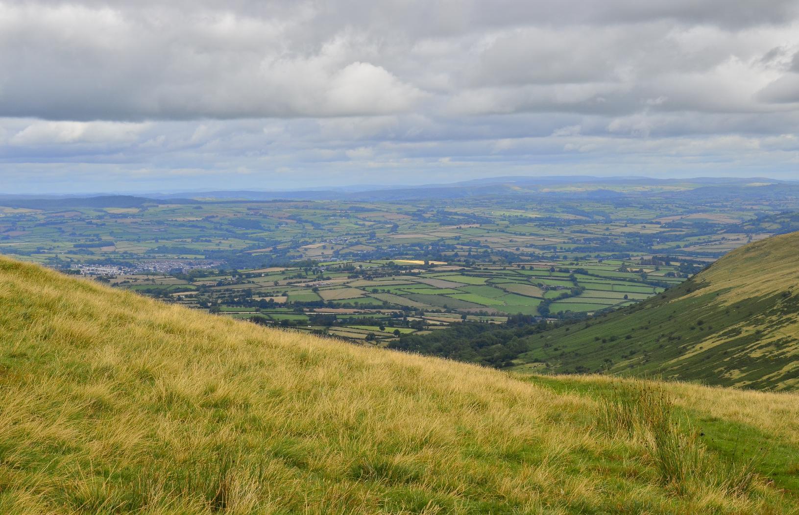
Looking back south, you can make out the edge of the reservoir we passed.
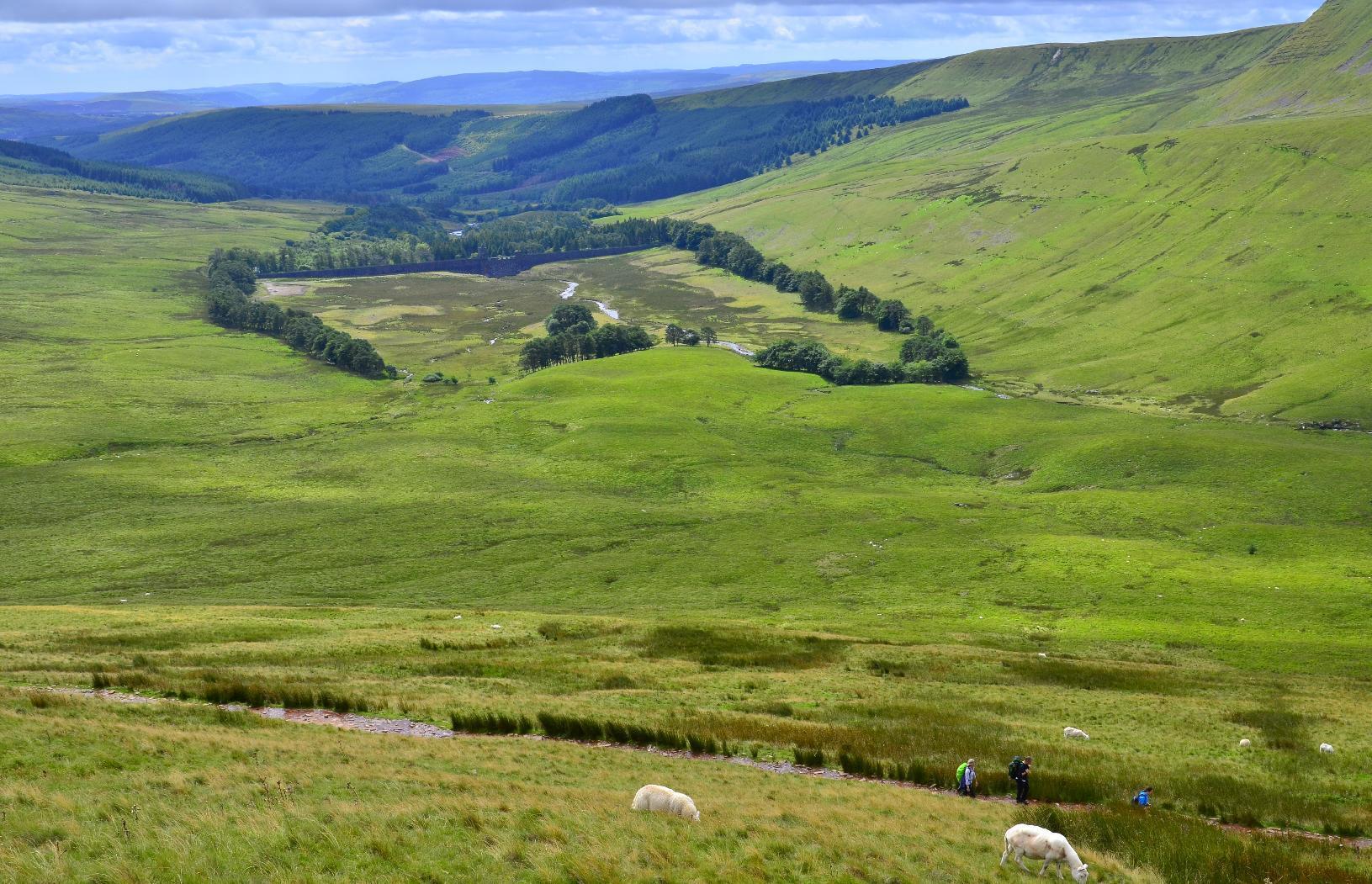
The path gets steadily steeper and is partially paved to provide durability and grip. The view keeps getting better.
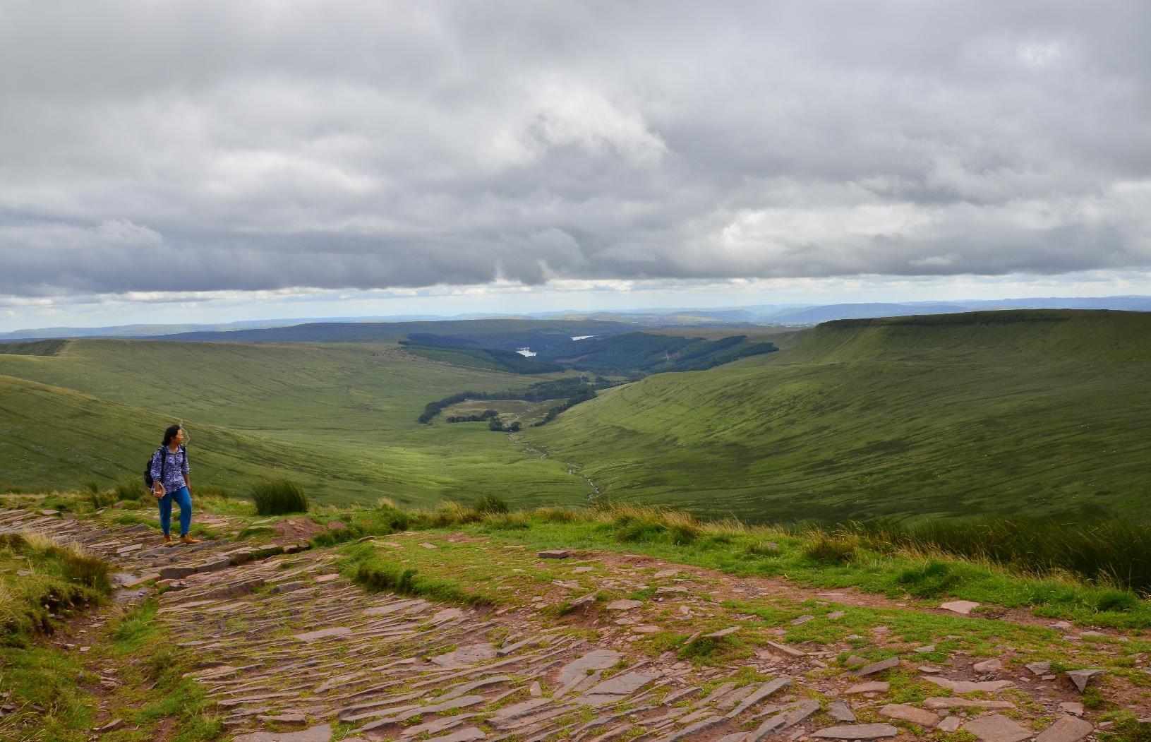
Arriving at the summit with some effort, you are rewarded with an all-round view. We were very lucky as I was told by someone that the day before, the peak had been shrouded in cloud. Dozens of other people were also enjoying the spectacle.
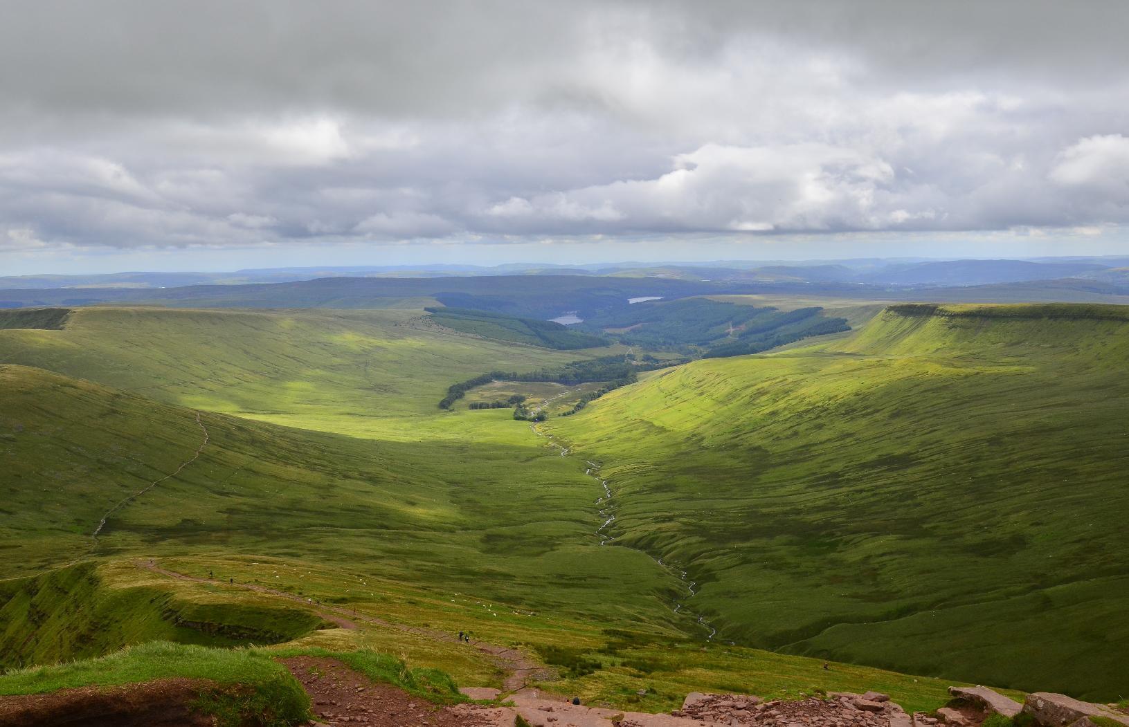
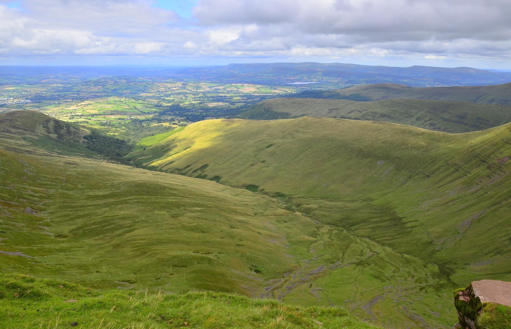
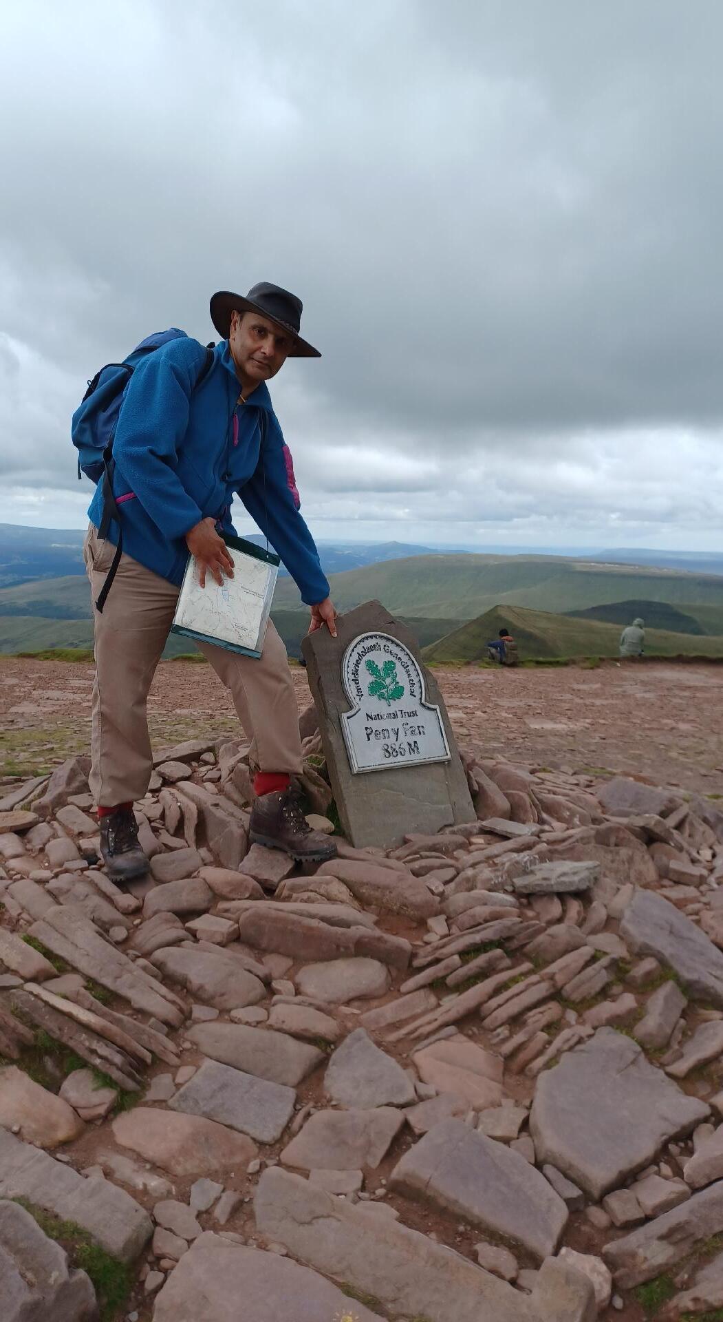
Here I am at the summit at an elevation of 886 m. From the start point, that's a climb of about 650 m.
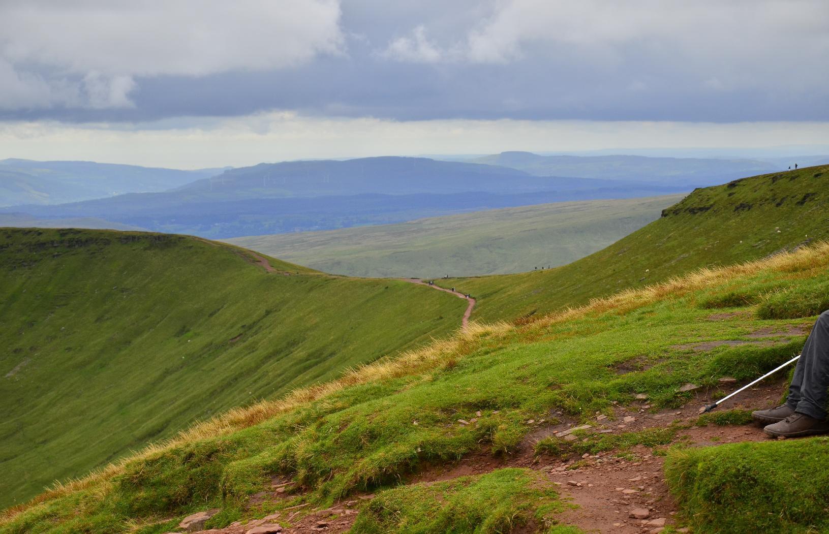
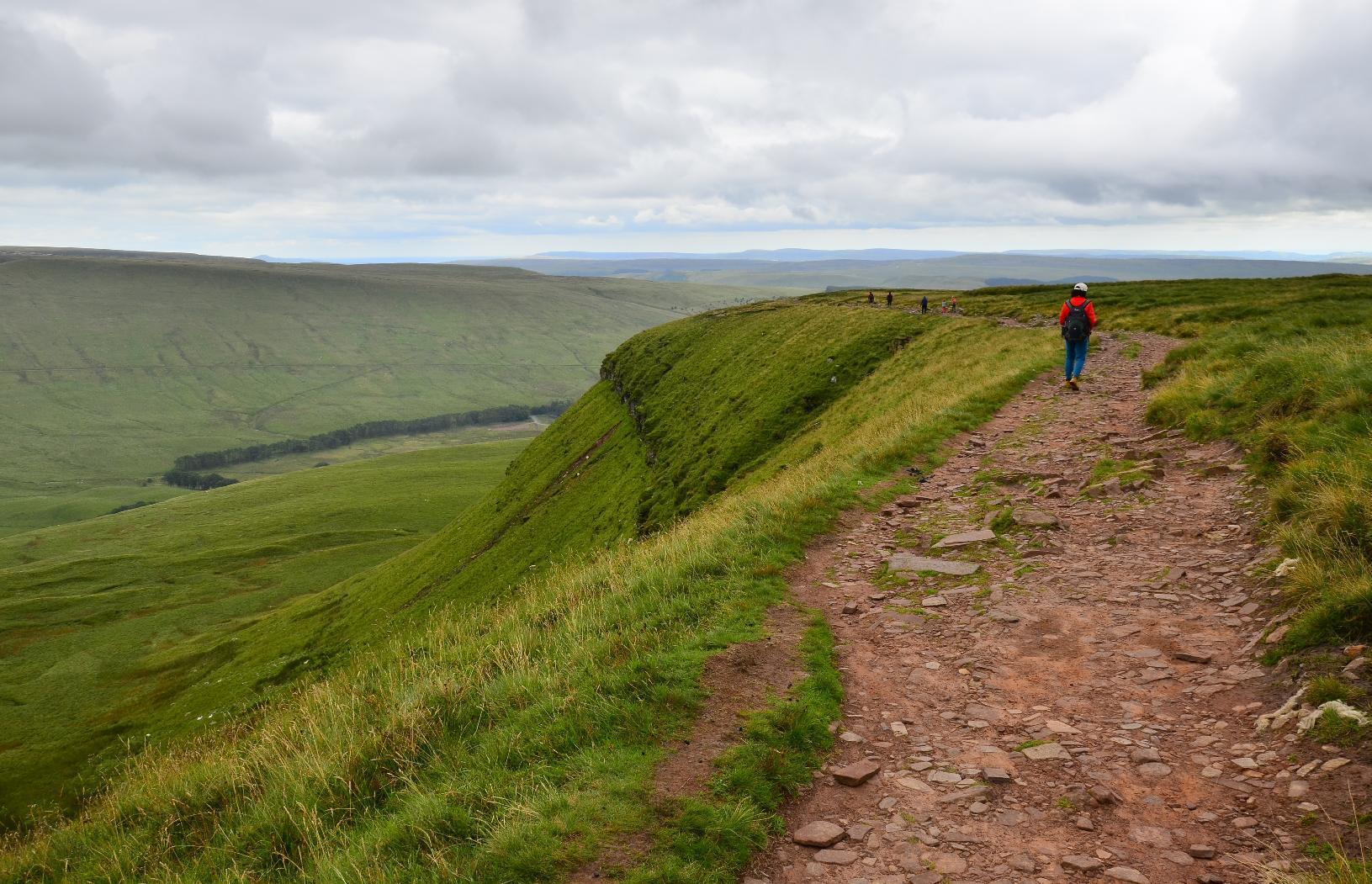
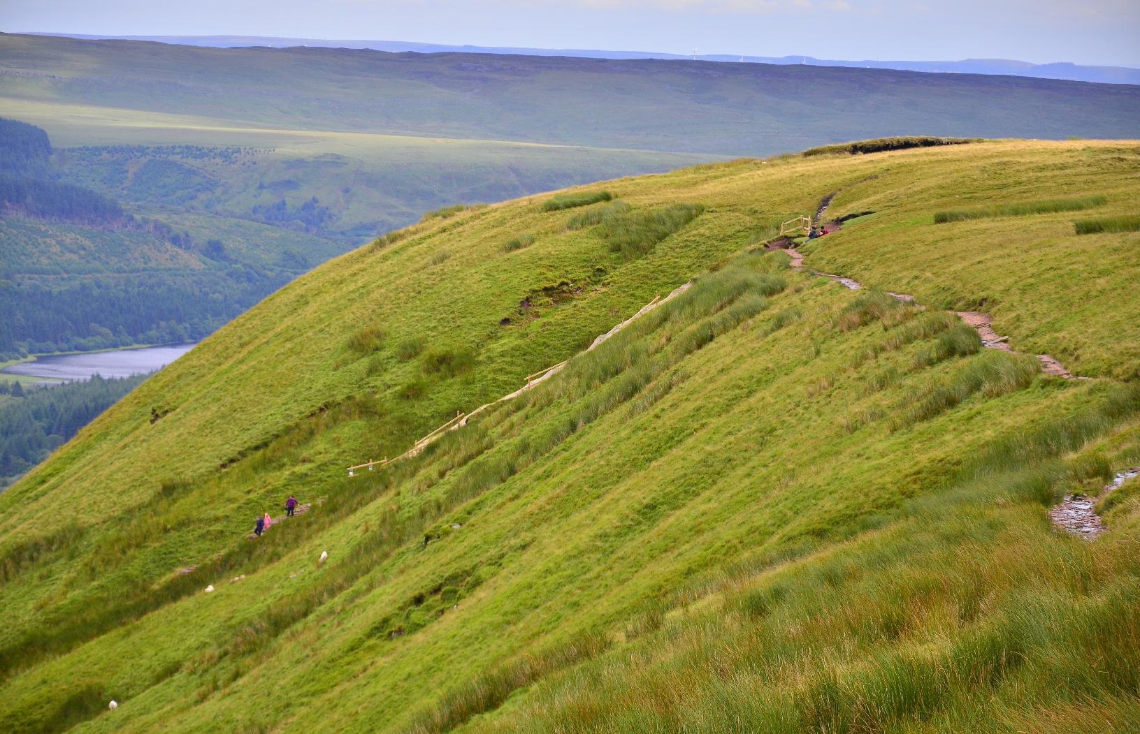
The path back to the start is along a #ridge affording views of the valleys either side.
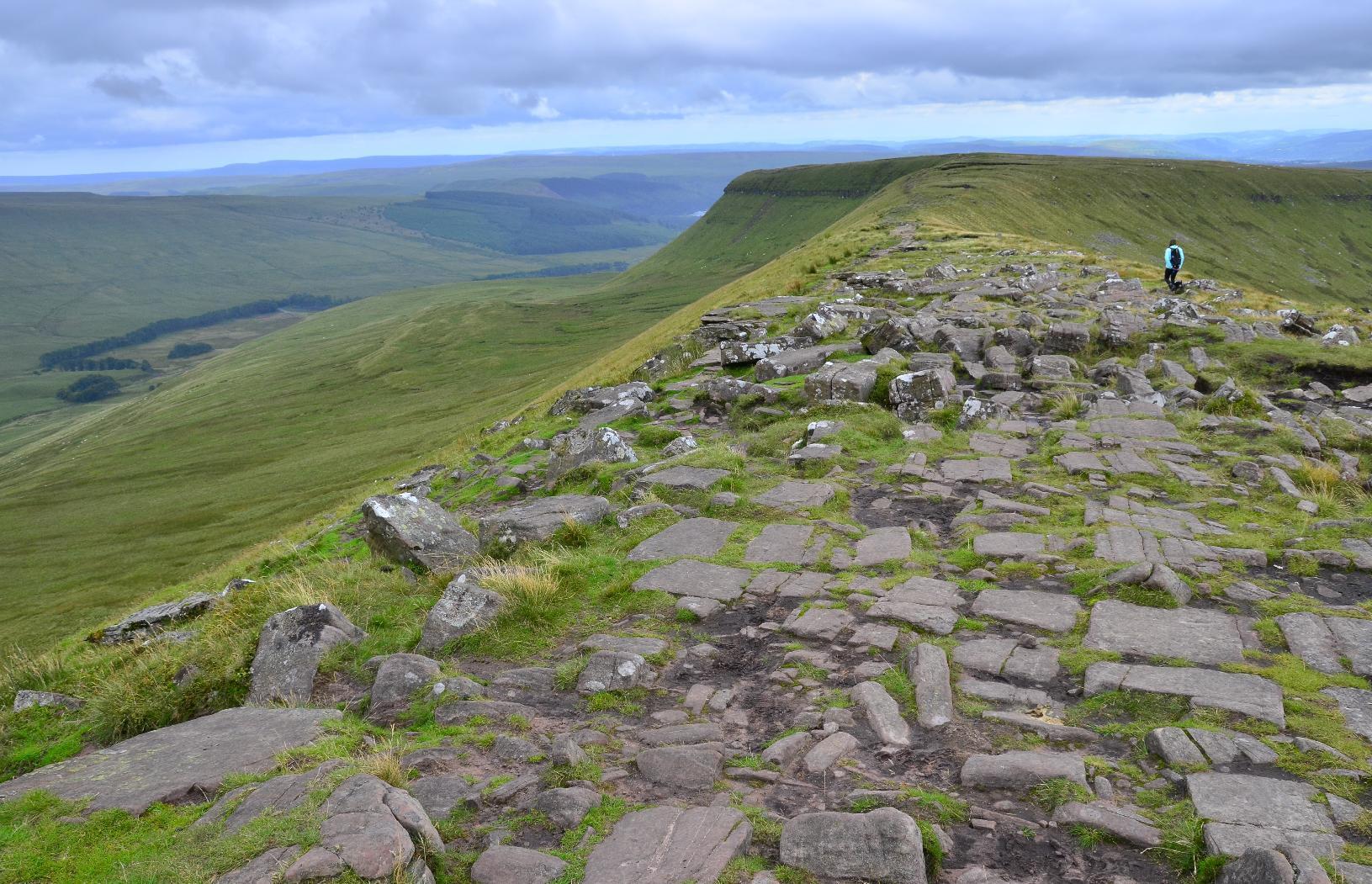
The path on the ridge is not dangerous unless you get carelessly close to the edge but it is uneven and has large stones in places whereas in others, it is covered in black #peat.
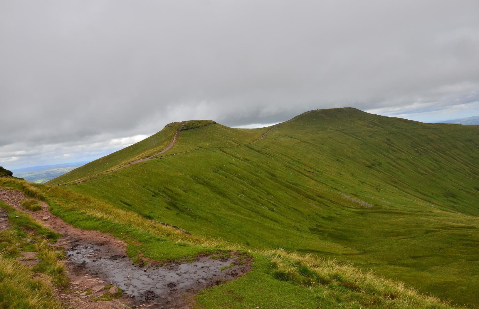
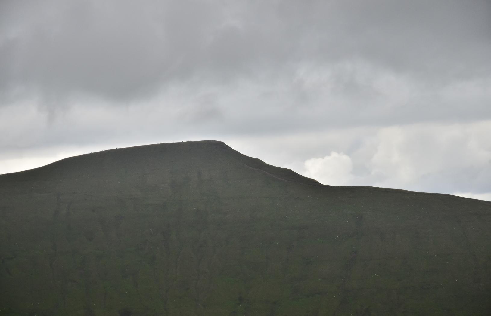
Looking back towards Pen Y Fan, you can just make out the figures of people waling on the horizon.
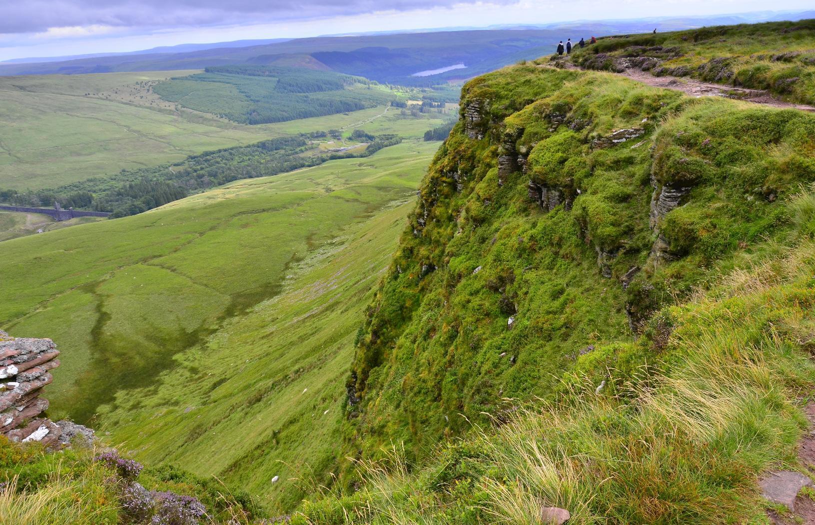
The valley edge looks precarious but in summer, I don't think it is a great danger.
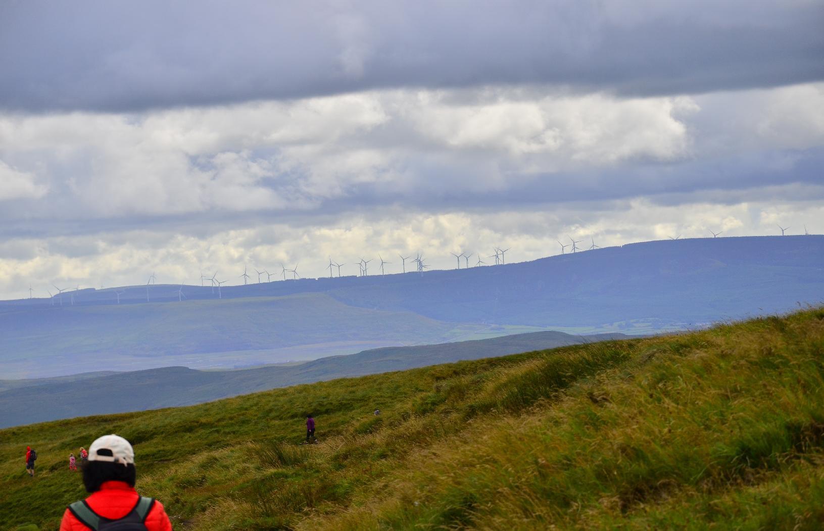
In the south western horizon are a group of #WindTurbines. I am sure wind will be an important energy resource for #Wales in the coming decades.
The return to the car park as along this path down across the valley.
To get to it, required us to descend some steep roughly buiilt stone stairs. For me this was the most hazardous part of the walk as I was tired by now and my knees were getting very sore. It was a relief to get back to the car.

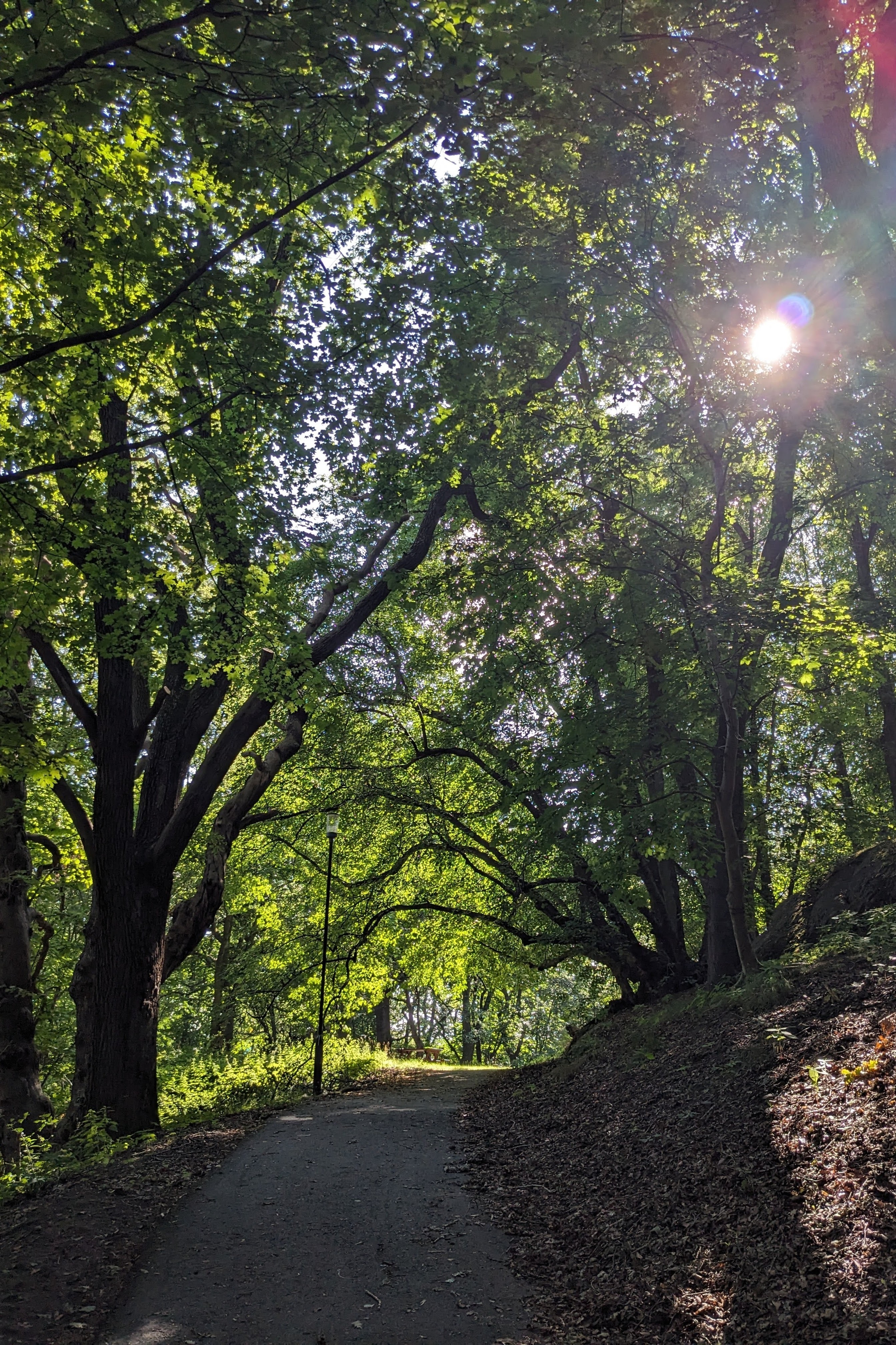
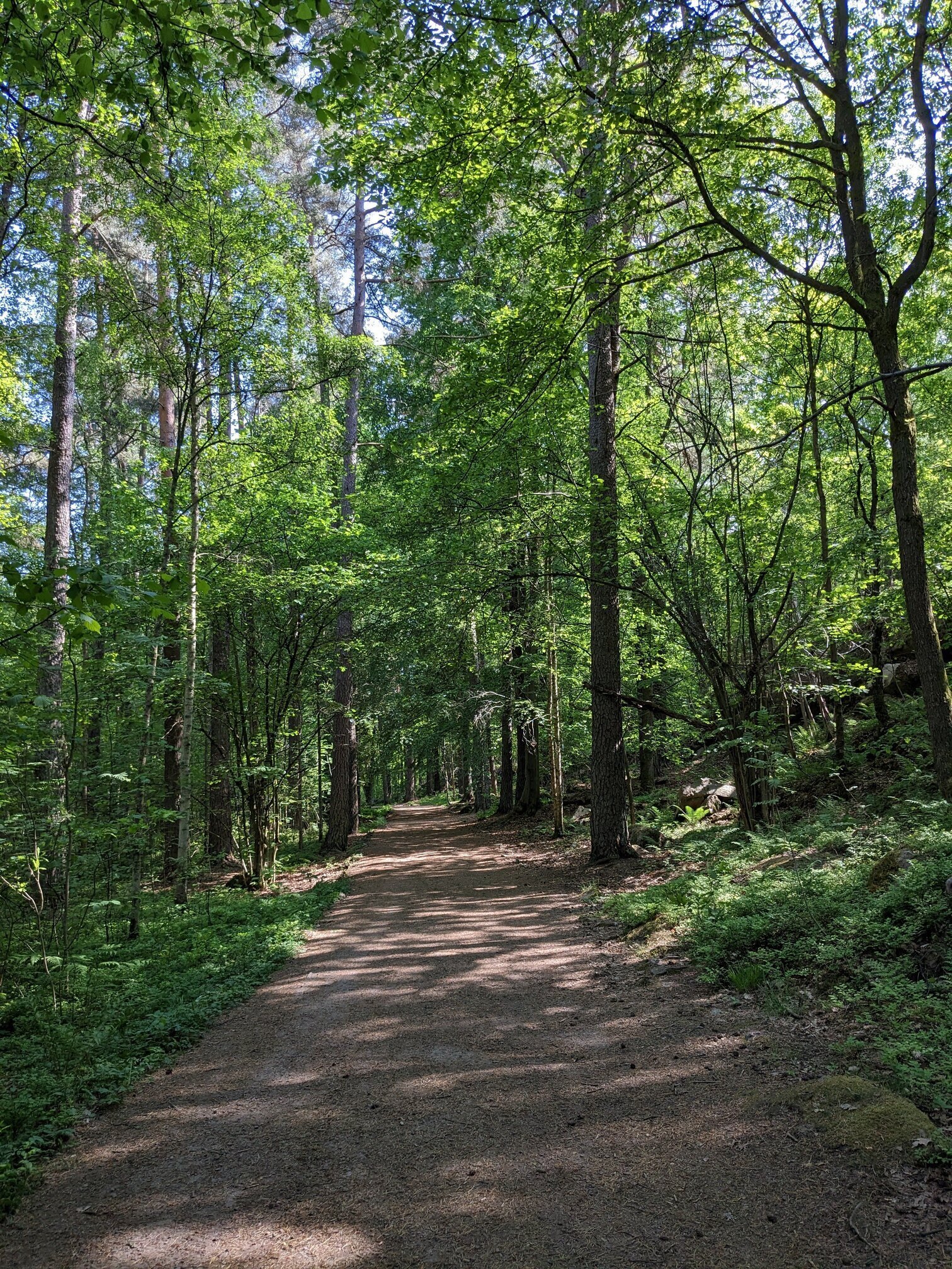
Today's hike was a bit short. It's hot AF. I'm not a fan of summer. #prague #forest #path #landscape #mobilephotography #photography
