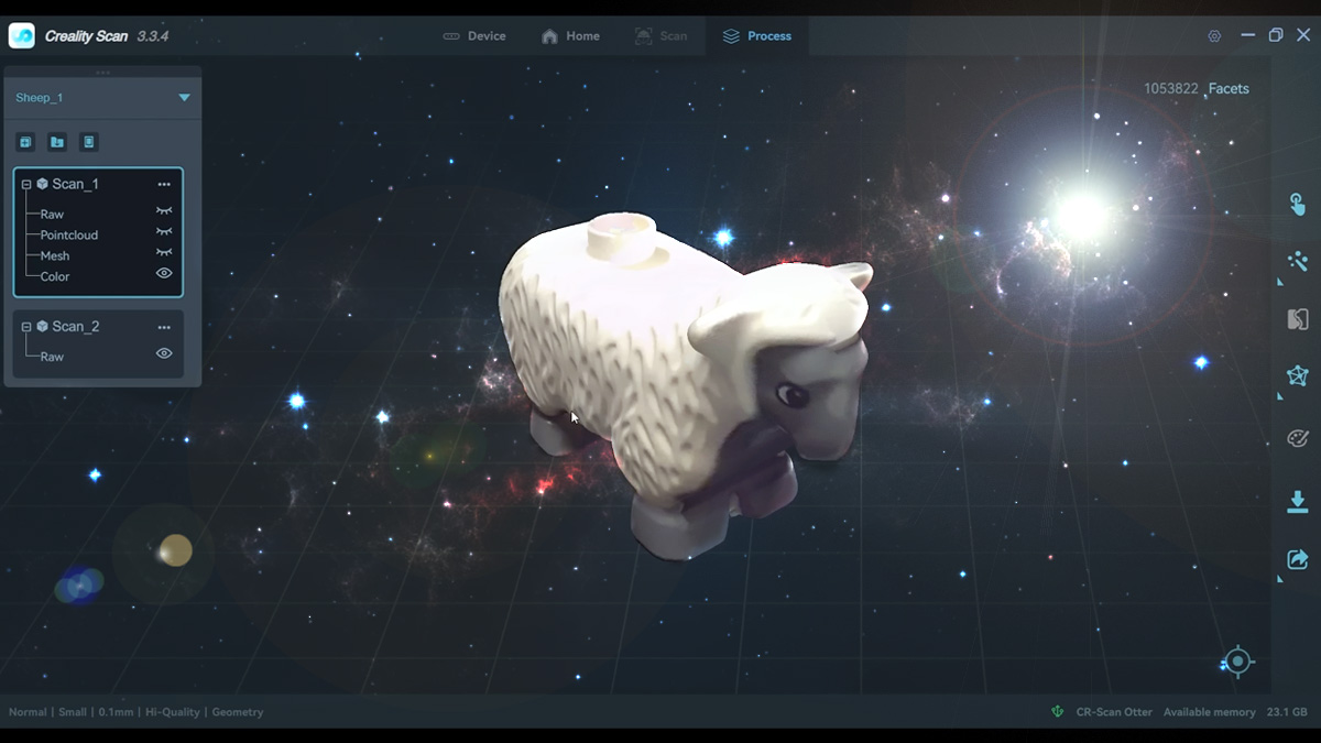
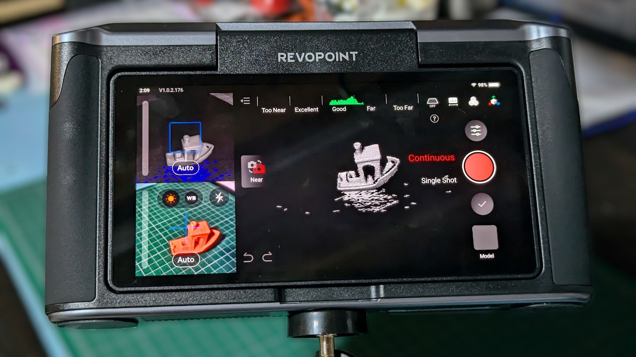
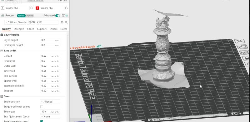
#3dscanning
3 Likes
3 Likes
3 Likes
One person like that
One person like that
One person like that
One person like that
One person like that
2 Likes
3 Likes
Claire Hentschker auf Twitter: "so you want to capture something in 3D..... https://t.co/xxsla5nF0D" / Twitter
Good decision graph!
#3dscanning #3d
https://twitter.com/ntschk/status/1490909471983353856
so you want to capture something in 3D..... pic.twitter.com/xxsla5nF0D
— Claire Hentschker (@ntschk) February 8, 2022
4 Likes
Airborne Lidar survey reveals hundreds of long-lost Maya and Olmec ceremonial centres, and publicly available Lidar is transforming archaeology
An airborne Lidar survey recently revealed hundreds of long-lost Maya and Olmec ceremonial sites in southern Mexico. The 32,800-square-mile area was surveyed by the Mexican Instituto Nacional de Estadistica y Geografia, which made the data public. When University of Arizona archaeologist Takeshi Inomata and his colleagues examined the area, which spans the Olmec heartland along the Bay of Campeche and the western Maya Lowlands just north of the Guatemalan border, they identified the outlines of 478 ceremonial sites that had been mostly hidden beneath vegetation or were simply too large to recognize from the ground.
“It was unthinkable to study an area this large until a few years ago,” said Inomata. “Publicly available lidar is transforming archaeology.”
See Lidar reveals hundreds of long-lost Maya and Olmec ceremonial centers
#technology #Lidar #archaeology #3Dscanning #Mexico

The sites suggest cultural links between the two Mesoamerican civilizations.
One person like that