2 Shares
#design
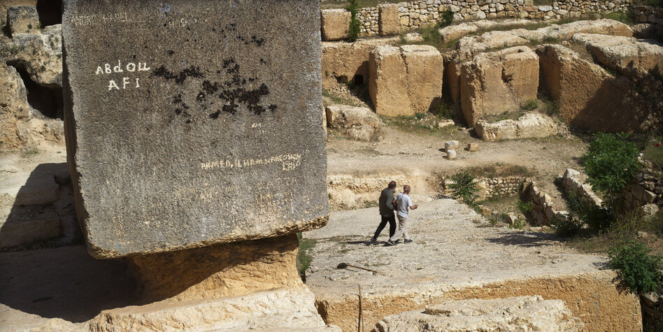
Berlinale-Essayfilm „Architecton“: Abschied von Beton
Victor Kossakovskys neuester Film handelt von Gestein und was der Mensch daraus macht. Eine Konfrontation mit den Folgen des herkömmlichen Bauens.#Architektur #Design #Dokumentarfilm #Berlinale #Film #Kultur #Schwerpunkt
Berlinale-Essayfilm „Architecton“: Abschied von Beton
One person like that
4 Likes
2 Likes
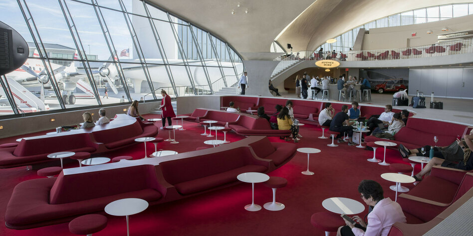
Eine Nacht im New Yorker TWA Hotel: Zu Gast im Kopf einer Libelle
Das TWA-Terminal am New Yorker Flughafen gilt als Ikone der modernen Architektur. Heute ist es ein Hotel voller Retrocharme und liebevoller Details.#wochentaz #NewYork #Hotel #Flughafen #Retro #Design #ReiselandUSA #Reise #Gesellschaft #Reiseland
Eine Nacht im New Yorker TWA Hotel: Zu Gast im Kopf einer Libelle
2 Likes
One person like that
One person like that
One person like that
One person like that
#Floorp #Browser
A Browser build for keeping the Open, Private and Sustainable #Web alive. Based on #Mozilla #Firefox.
Source: https://github.com/Floorp-Projects/Floorp
It’s based on Firefox ESR (Extended Support Release).
The browser is most comparable to #Vivaldi in terms of #design. However, it is more configurable, especially in terms of #privacy. It is always explained exactly what restrictions the settings entail.
#news #software #internet #www #surfing #configuration #opensource #floss
6 Likes
3 Shares
@permaCulture
♲ Keith D Johnson - 2024-01-27 23:17:03 GMT
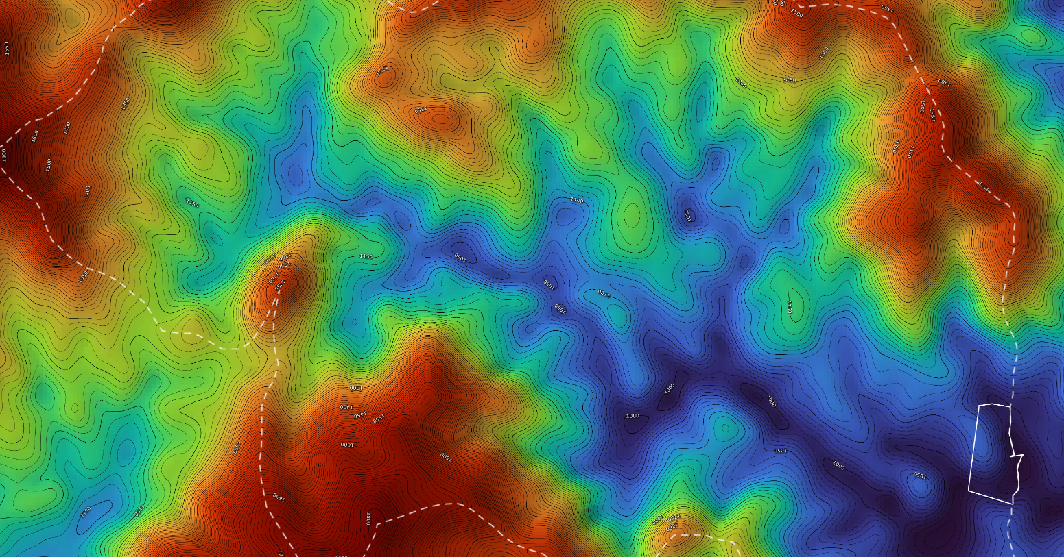
A friend of mine, Ben Missimer, makes #maps (& animated maps) to help others design their land for ecological resilience; basic contour maps, #hydrology, #forest cover, #wetlands, drainage, erosion, slope, #solar aspect, satellite images, & more (also all in large hi-rez, some suitable for framing & hanging on your walls).
He's okayed sharing these exemplary files. #permaculture #design https://www.dropbox.com/sh/qeb6nfvakmk81q1/AABw5yg-uSjwqHRWml8mOoG7a?dl=0If you need reasonably priced mapwork for your projects Ben's website is https://www.pearlriverecodesign.com/
One person like that
https://youtu.be/8UAsN9wvePE?si=4MMUROX2Fn2S6ZRH
Good presentation and fascinating subject matter. Youtube worth watching.
#design #philosophy #theory #diy
2 Likes
2 Shares
Das umgekehrte Fragezeichen
via Karambolage España | ARTE
Über das fehlende einführende Ausrufezeichen reg(t)e ich mich bei jeder Ausgabe der ansonsten großartigen Zeitschrift »arranca!« auf.
2 Shares
Why Is Everything So Ugly? | Issue 44 | n+1 | The Editors
#environment #architecture #design #urbanism
https://www.nplusonemag.com/issue-44/the-intellectual-situation/why-is-everything-so-ugly/
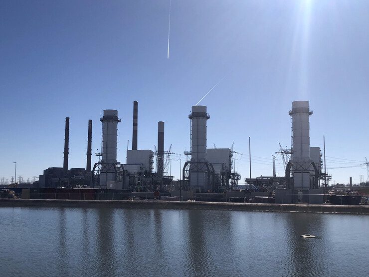
Three Combustion Turbines Added to TVA’s Paradise Site, More to Come at Other Locations
The Tennessee Valley Authority (TVA) said three new natural gas–fired units entered commercial operation on Dec. 31 at the Paradise Combined Cycle Plant near Drakesboro, Kentucky (Figure 1). “Natural gas […]
https://www.powermag.com/three-combustion-turbines-added-to-tvas-paradise-site-more-to-come-at-other-locations/
#power, #demand, #top, #full, #design, #plant, #gas, #news
2 Likes
2 Likes
1 Comments
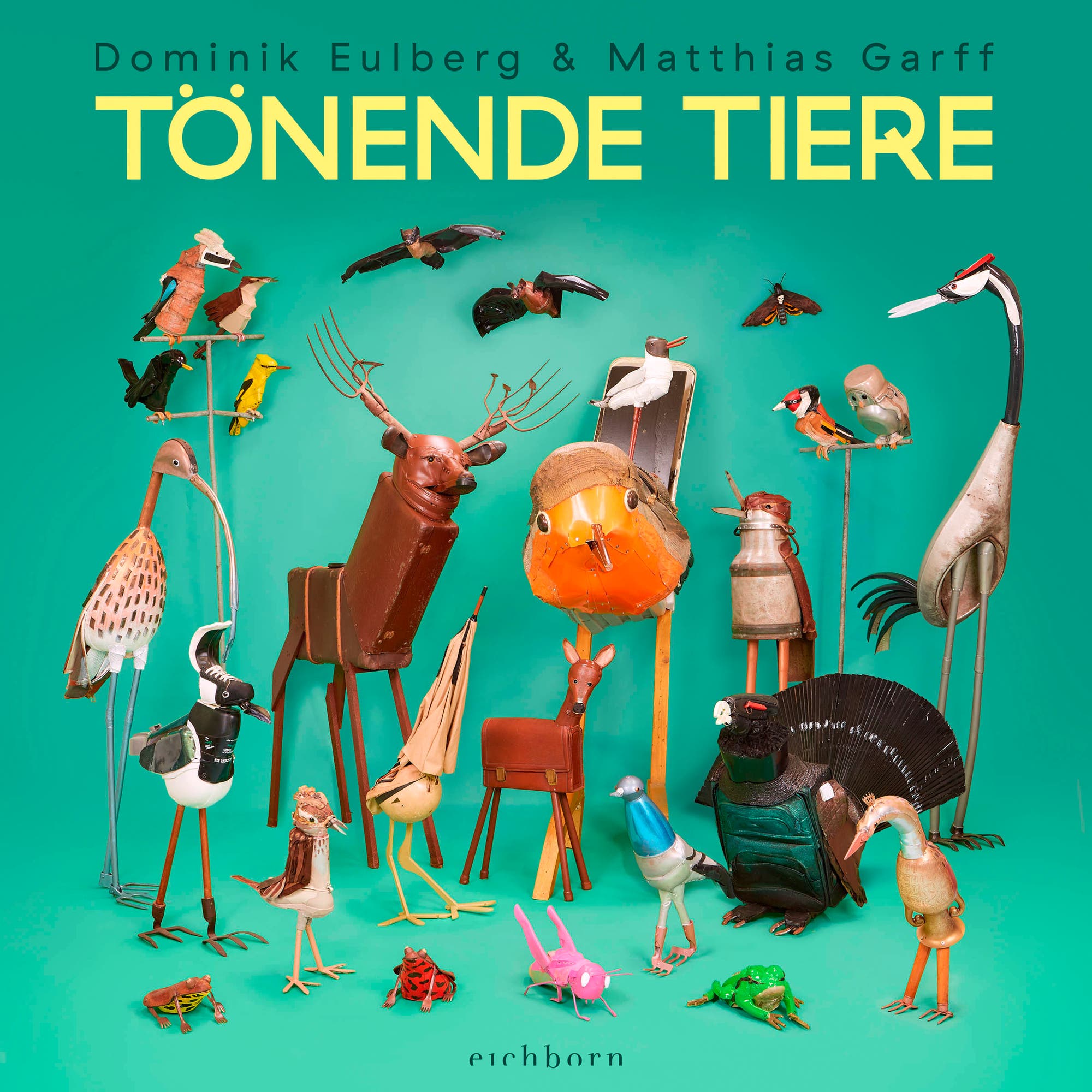
Dominik Eulberg und Matthias Garff machen die Begegnung mit heimischen Tieren zu einem sinnlichen Erlebnis. Ihr Buch ist ein gelungenes Plädoyer für Artenvielfalt. Eine Rezension#Artenvielfalt #Biodiversität #Tiere #Tierstimmen #Naturkunde #Musik #Natur #Klang #Outdoor #Flora #Fauna #Kunst #Installation #Skulptur #Design #Zwitschern #Summen #Brummen #Vögel #Insekten #Biologie #ErdeUmwelt
»Tönende Tiere«: Etwas zum Schwingen bringen
One person like that
Peter the mooN & Ugo Vittu
- Ugo Vittu - http://scalpelproductions.com/
- Peter the mooN - https://peterthemoon.tumblr.com/
- LASS - Mo Yaro https://www.youtube.com/watch?v=PQpJu45Cf7o
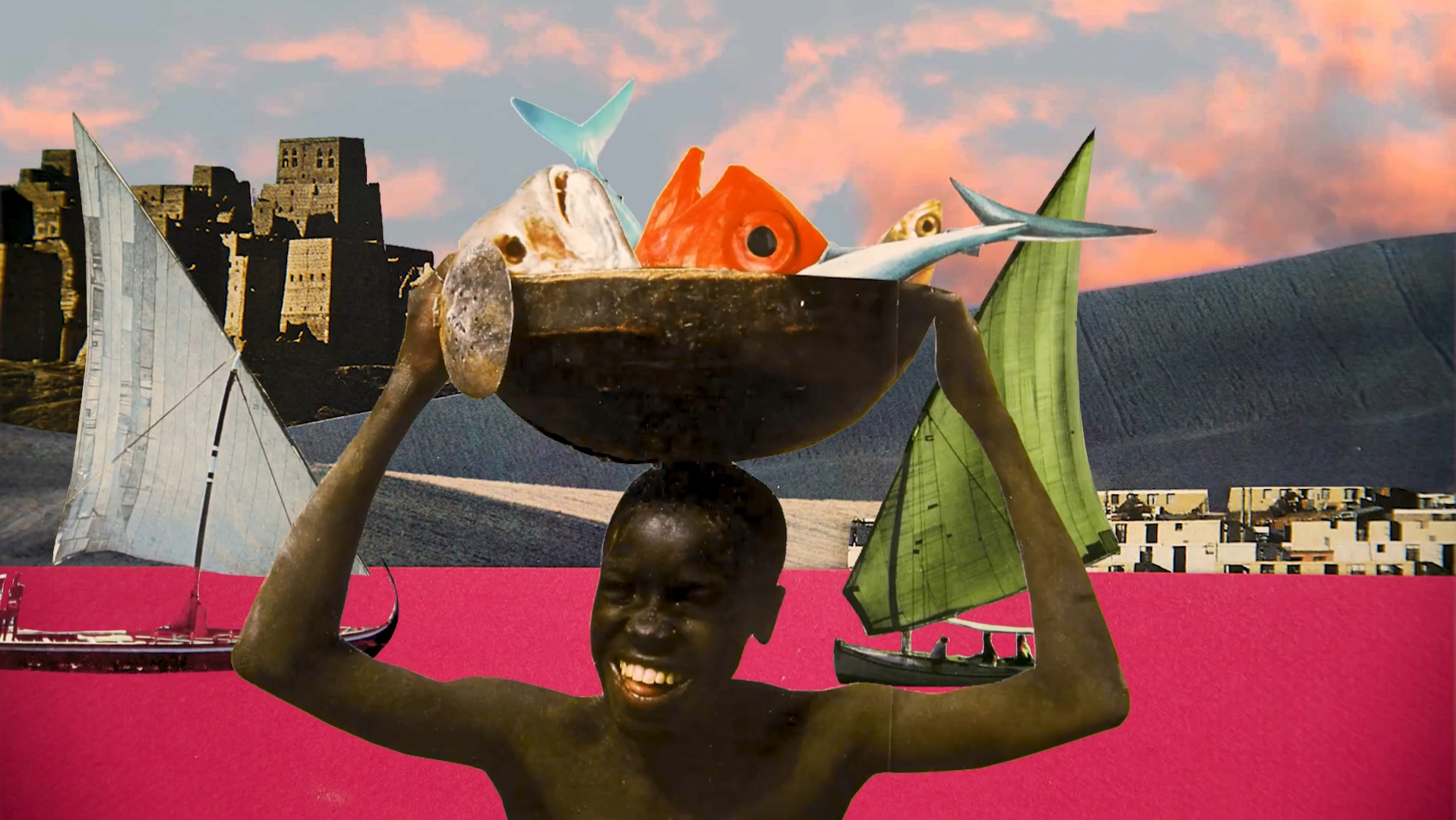
#PeterTheMooN #UgoVittu #graphik #design
#stopmotion #analog #digital #animation #collage #artwork
#photocollage #afrofuturism #montage #videoclip #music #video #art
3 Likes


