#osm

amitabha@pod.orkz.net

Here we Go

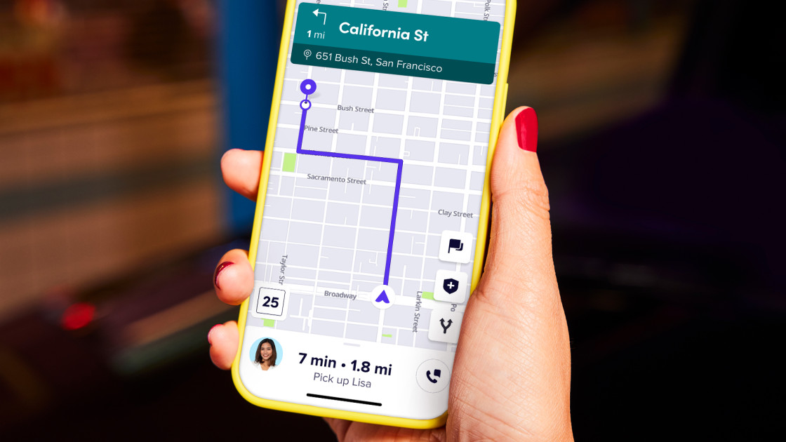
In my further attempt to de-google-fy I was searching for a good GPS app alternative.
I previously used OsmAnd, but it sent me to strange locations. Feel free to comment, if you think this is a good app for you.
It is free software/opensource, so I do think it is preferably when it does work.

So I was looking around and found Here we Go. It is not free software/opensource, was first develloped by Nokia, it is European and should be privacy friendly according to a privacy report I found (from 2018). It also mentions Diaspora and Signal as being privacy friendly, so that is some reference.
It has offline maps, traffic updates and a nice interface.

Feel free to comment on what you think or if you tested it as well.

Here we Go - official site
Here we Go on Wikipedia
Privacy report on several programs

OsmAnd official site

#gps #app #floss #foss #opensource #osm #herewego #google #waze #googlemaps

beautifuldowntownmannheim@squeet.me

Kennt Ihr eigentlich #OrganicMaps? Eine #Navigation-Software für Fuss, Rad und Auto auf #OSM Basis und #OpenSource.

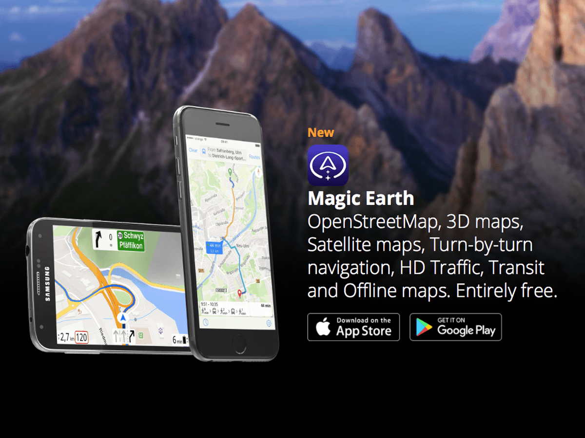
Bei mir hat das Magic Earth (ebenfalls OSM aber kein OpenSource) ersetzt.

Danke @OrganicMapsApp ❤️ #foss


https://twitter.com/OrganicMapsApp/status/1508066502494371845

grey@pod.tchncs.de

In no particular order, web sites like OpenStreetMap, Wikipedia, Archive.Org, Sci-Hub, tools like I2P, Tor, IRC, GPG, OMEMO, OTR, and open and federated protocols like Jabber, Email, Diaspora and ActivityPub are the most important projects on the internet and should be protected and exalted.

#openstreetmap #osm #android #wikipedia #wiki #archive #archive.org #scihub #sci-hub #diaspora #email #jabber #xmpp #activitypub #mastodon #email #freesoftware #internet #thefederation #irc #gpg #pgp #omemo #otr

fla@diaspora-fr.org

Does anybody have knowledge about #openstreetmap data related to #climbing ? For example, this is a gym: https://www.openstreetmap.org/way/56016849 and this is a cliff: https://www.openstreetmap.org/node/3718329581

I would like to know what properties could be attached to this kind of nodes, how is #osm modelling this kind of data... I know basically nothing about the OSM universe but I would love to play with it a bit.

danie10@squeet.me

This month is the 17th birthday of OpenStreetMap (OSM), a community-owned collaborative geographic database of the world

This cool database was inspired by the success of Wikipedia and the (rather annoying) predominance of proprietary map data. With over two million registered users and growing, many collect and provide data from GPS devices or local knowledge of the mapping area. OSM also has established a model for non-governmental organizations to collaborate with international organizations. A notable example of this, during the 2010 Haiti earthquake, OSM and Crisis Common volunteers using available satellite imagery to map the roads, buildings, and refugee camps of Port-au-Prince in just two days built the most complete digital map of Haiti's roads. This is known as Crisis mapping and is a real-time way to have people contribute and create situational awareness of the surroundings for the citizens and any humanitarian aid groups.

You can do your bit too by checking your local area and submitting updates and changes.

See What I love about OpenStreetMap

#technology #mapping #navigation #opensource #OSM

Image/photo

This month is the 16th birthday of OpenStreetMap (OSM), a community-owned collaborative geographic database of the world.


https://gadgeteer.co.za/month-17th-birthday-openstreetmap-osm-community-owned-collaborative-geographic-database-world

pixelsalat@squeet.me

Und der andere Moment, wo du beim Mappen einen so verwirrten Eindruck machst, dass dir eine Fremde Hilfe anbietet und dich zu einem netten Italiener schickt.

Lecker war's.
#Essen #osm