#trails

danie10@squeet.me

Trail Sense: Android Open-Source app for entirely offline use for hiking, backpacking, camping, and geocaching

In background a blurred image of a mountain, and in foreground is title text saying Trail Sense for Navigation, Weather and Astronomy
Trail Sense is a tool, and just like any other tool that you bring into the wilderness, it’s essential to have backup equipment and skills. One of its goals is that its features should make use of the sensors on a phone rather than relying on stored information such as online guides.

Features:

  • Designed for hiking, backpacking, camping, and geocaching
  • Place beacons and navigate to them
  • Follow paths
  • Retrace your steps with backtrack
  • Use a photo as a map
  • Plan what to pack
  • Be alerted before the sun sets
  • Predict the weather
  • Use your phone as a flashlight
  • Estimate height of a cliff
  • And much more!

So you’ll notice with this app there is no quick download of some map or guide. The idea is to prepare before departing with photos of your map, putting waypoints in, etc.

See https://github.com/kylecorry31/Trail-Sense
#Blog, #hiking, #opensource, #technology, #trails

adamblewett@diasp.org

horse to horse

the bay quietly roomed to the fading sounds, partitioned with three other retired hoofers, bred and stabled fortuitous for they, the reward of their placidity. As temperamental the spoiler twofold youth, with aplomb or with cherish the a of silver screen, recourses them, why you have seen. Fed to priority, they abandon, in dwell of 500 men. Twofold complacent, as charity is the carrot my imposing breed, 500 yards, spliced by your lens.

#photography #sunsets #bay #trails #myphoto #m50canon

danie@diasp.org

Price of Petrol (Gas) too much for real 4x4'ing... Try it virtually with buddies in SnowRunner online!

Just watching this makes me relax like I'm there. I love how they start off by mentioning shuddering even in the game, thinking of the cost of fuel, with these big 4x4's about to set off on the dirt trail together.

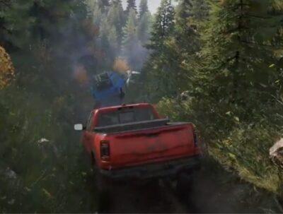
This is a fun part of SnowRunner that you can do together with friends online. There are quite a few free roam trail maps that have been made by the community for this very purpose. It often takes team work to help by pushing, pulling, or winching your friend's truck. And along the way you get to see some great scenery. If you honk your horn you'll see some birds taking off, and of course the sunsets can be really stunning (you have a camera in-game to take great photos of such sights).

Watch this video at https://youtu.be/OrATx88tuSg

#technology #gaming #snowrunner #offroad #4x4 #trails

danie10@squeet.me

Price of Petrol (Gas) too much for real 4×4’ing… Try it virtually with buddies in SnowRunner online!

Snowrunner team play
Just watching this makes me relax like I’m there. I love how they start off by mentioning shuddering even in the game, thinking of the cost of fuel, with these big 4×4’s about to set off on the dirt trail together.

This is a fun part of SnowRunner that you can do together with friends online. There are quite a few free roam trail maps that have been made by the community for this very purpose. It often takes team work to help by pushing, pulling, or winching your friend’s truck. And along the way you get to see some great scenery. If you honk your horn you’ll see some birds taking off, and of course the sunsets can be really stunning (you have a camera in-game to take great photos of such sights).

Watch this video at https://youtu.be/OrATx88tuSg

#technology #gaming #snowrunner #offroad #4×4 #trails
#Blog, ##4x4, ##gaming, ##offroad, ##snowrunner, ##teamplay, ##technology

danie10@squeet.me

A Walk in Newlands Forest in Cape Town

Walking and hiking in Newlands Forest, in Cape Town, is a very popular activity. There are numerous trails to explore. The area is patrolled by both the Park Rangers and SA Police (road routes), and it is heavily used so you are usually not alone, and there is ample free and safe parking.

There are a number of geocaches also hidden along the various trails, so if that is your thing, be sure to plan ahead for this. This particular route takes about 45 minutes and has no steps. Be sure though to take water with you, and always inform someone where you intend to walk and when you expect to be back. There is cellphone coverage along the whole route.

The base itself also has a helipad landing area where the helicopters land while doing fire fighting duties on the mountain.

Watch at Bild/Foto

A Walk in Newlands Forest in Cape Town
by Danie van der Merwe on YouTube

#capetown #southafrica #hiking #walking #trails


https://gadgeteer.co.za/walk-newlands-forest-cape-town

danie10@squeet.me

Hiking Project - A free crowd-sourced hiking guide with a social aspect, built by hikers like you for iOS and Android

The information on Hiking Project is crowd-sourced, contributed by passionate users excited to share their knowledge of local trails with others. Anyone can share their experiences: add your favourite trails and photos, give ratings, post comments, improve existing content and spread the word about recommended routes. Your expertise brings an authentic voice to each trail and route.

So no features like overdue alerts to contacts or off-route alerting, but you can view your location on offline maps, record new trails, and share comments with others about conditions on a trail. A trail view shows the elevation overview, distance, hiker ratings scores, description with info, photos, driving directions to the start point, and recent feedback from other hikers on conditions.

I found a few trails in my neighbourhood (56 in South Africa), so your mileage will certainly vary by how active hikers in your area are who use the app. There is also a website for doing your planning, but you cannot manually create a map (you need to record it on the trail).

You can actually use the basics without even registering a profile at all (especially if you just want to navigate a trail). It may be worth also comparing what you get here with the free version of something like the AllTrails app, as that app has a ton more trails. Still, crowdsourcing new trails and giving feedback to others is a nice concept that Hiking Project has.

See Hiking Project | Hiking Trail Maps

#technology #navigation #hiking #trails #outdoors

Imagem/foto


https://gadgeteer.co.za/hiking-project-free-crowd-sourced-hiking-guide-social-aspect-built-hikers-you-ios-and-android

danie10@squeet.me

AllTrails and Wikiloc are two good global hiking trails apps for Android and iOS

A criteria I always find key for hiking trails, is how many are actually present in my own city of Cape Town, especially the smaller off-the-beaten-track trails. Both of these apps cover a good many of those, with AllTrails coming out a bit ahead though for my city.
Although most hiking trail apps offer free apps, there is usually a pro paid version for additional extras like ad-free, offline maps, alerts to going off-route, live tracking/sharing, etc. In this regard, AllTrails is a bit costlier at $30 per annum whilst Wikilocs is around $10 pa (with shorter period options too).

AllTrails does also offer slightly more in terms of search options around difficulty, length, elevation gain, time, route type (loop, out and back, point to point), star rating, activity type, attractions (e.g. cave, forest, historic site, waterfall, etc), suitability (e.g. dog friendly, wheelchair friendly, stroller friendly, etc), and trail traffic. Wikiloc is really only by activity type, distance, elevation, difficulty, loop trails (Y/N), how long ago recorded, and month recorded. Unique to Wikiloc is a "passing through" area search to get trails that will pass through a specific area.

GAIA GPS is also a popular app but firstly not many local hiking trails for me, and it's $36 pa full membership is just a bit pricey for me. All three mentioned also work with Apple Watch, and I used my Watch to monitor our route progress with AllTrails.
Cairn has an interesting option that also maps crowdsourced cellphone reception areas, which is useful to know what sections of your trail will have reception. You'd think they'd all have this.

See AllTrails: Trail Guides & Maps for Hiking, Camping, and Running | AllTrails

#technology #hiking #backpacking #trails
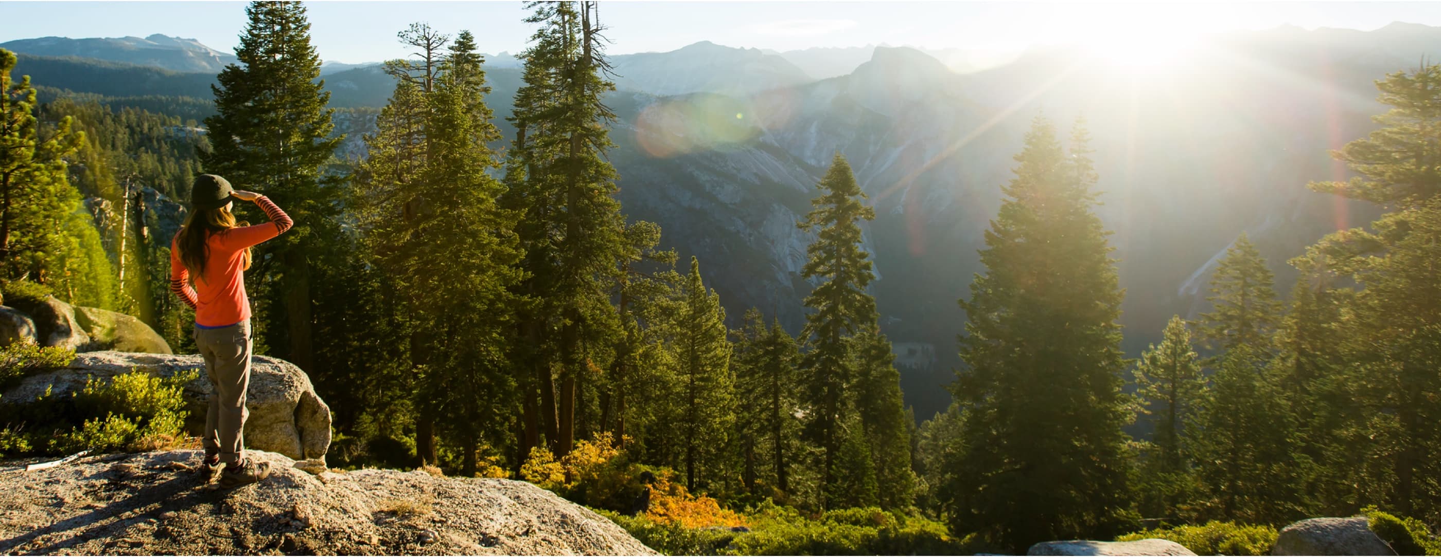
Image/photo

Search over 200,000 trails with trail info, maps, detailed reviews, and photos curated by millions of hikers, campers, and nature lovers like you.


https://gadgeteer.co.za/alltrails-and-wikiloc-are-two-good-global-hiking-trails-apps-android-and-ios
psych@pluspora.com

Another week...

Happy Weekend!

Sorry to those newly migrating from/still active on pluspora*, but I'm going to post this on both, to reach all, and add:

Pluspora * contacts/aspectees: I'm going to post more public (photo/music) to diaspora and don't want to bombard people with double/triple posts. (Some have been ancient contacts since the end of G+, a trillion years ago. Sooo: if you see this on pluspora* only, please hunt me out by the same name, profile, shoe size etc., for the time I start mostly posting via diaspora*, this pod.

I figure it will lighten bandwidth on pluspora's (virtual?) server and it's faster-loading for me uploading to diasp.org pod. /end

The Long and Winding Road

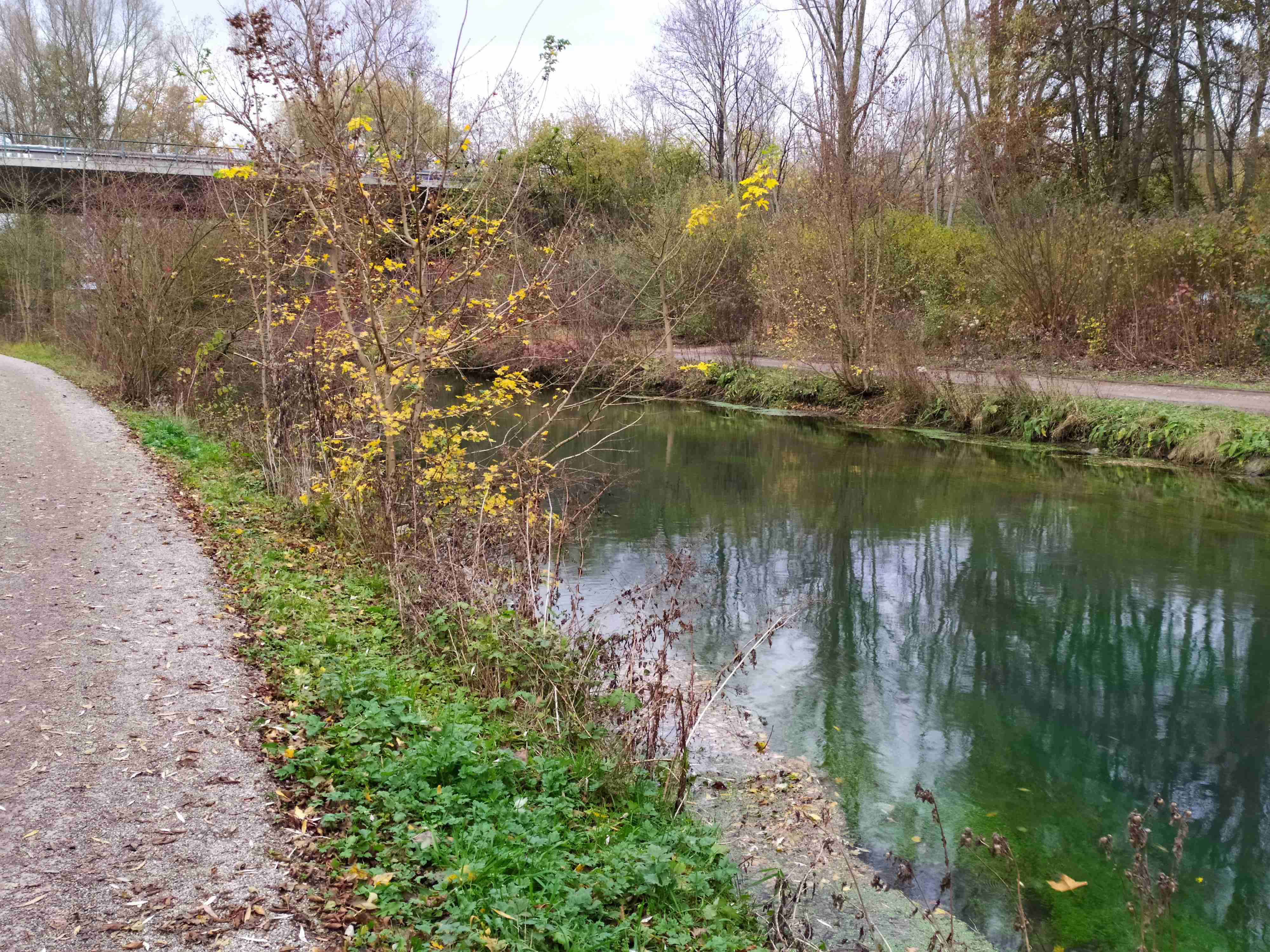
Life is full of pathways - neural, life, time, and in and out of swamps and marshes. So many forks in the road.
"Follow the yellow brick road". Hopefully there are trail markers, but often not. Sometimes it's like the scarecrow in _Wizard of O_z.
Don't get surrounded by alligators. (Do it via Zoom!)

PET PEEVE # 102 : "Which way do I go?"

These trail markers offer little hope, no color, no info, like the scarecrow in the Wizard of Oz. Well, there's this way.... or that.

#myphotos #fenfotos #trails #pathways #path #hiking #photography #Music #Beatles #musica #musique #benchmark