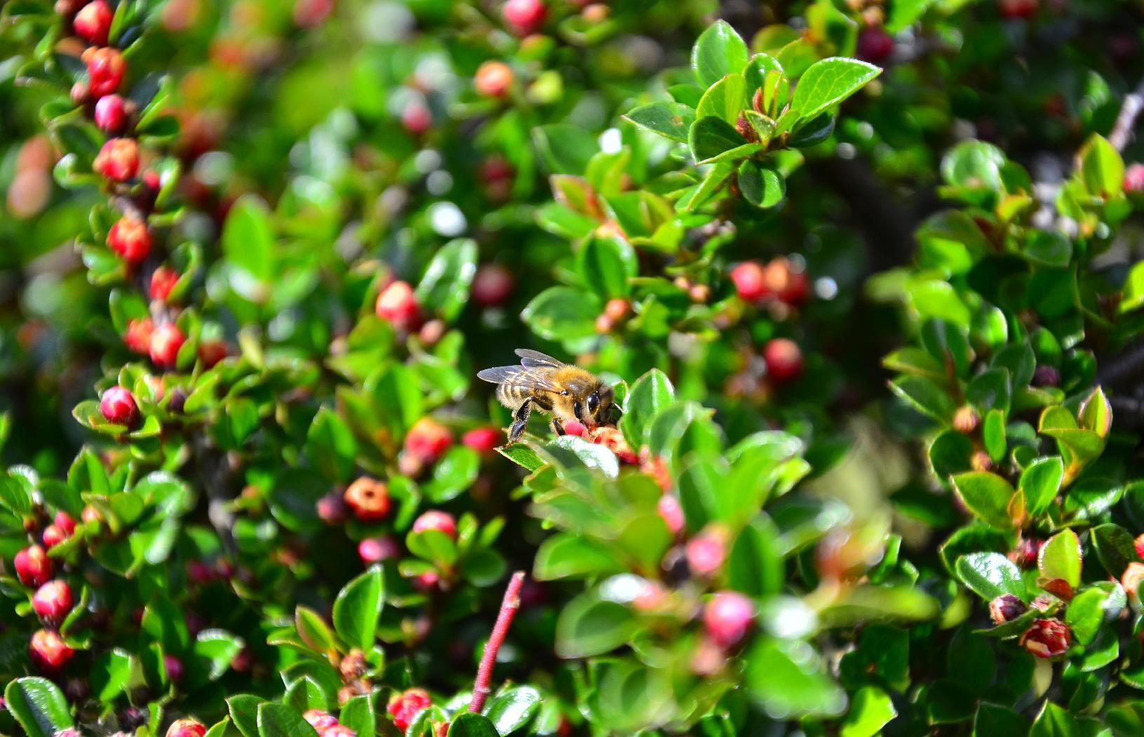
#dslr

mkwadee@diasp.eu

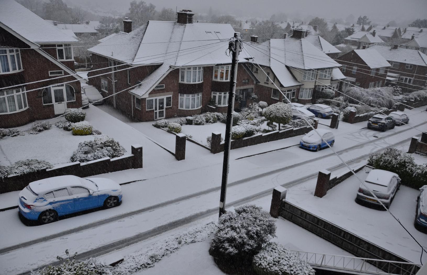
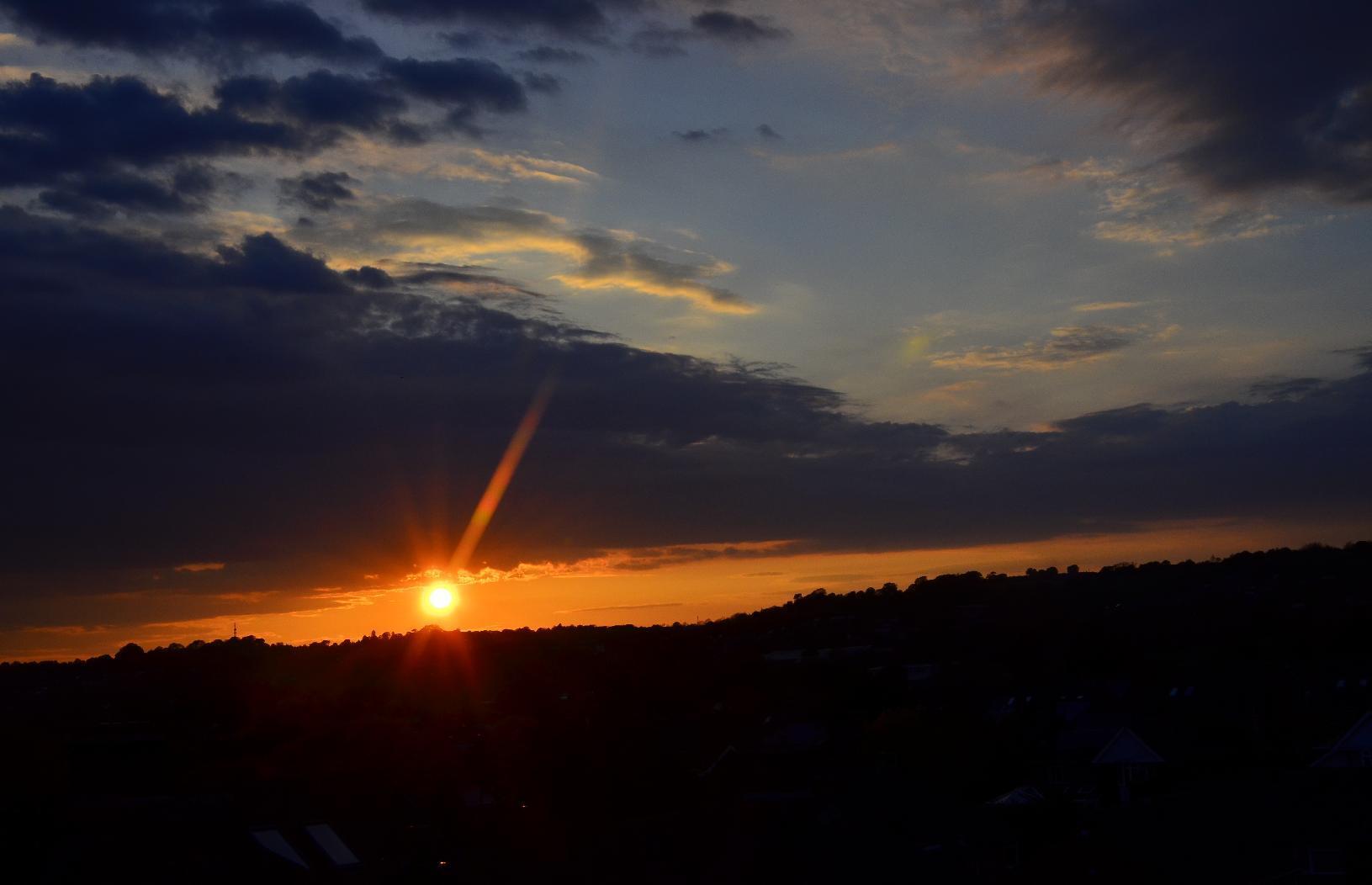
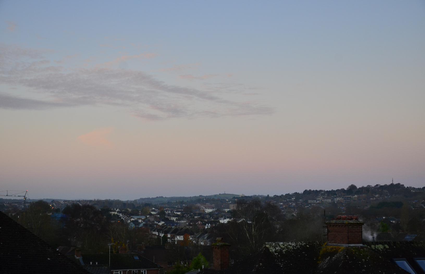
#Snow! I woke up this morning to the unexpected sight of a white landscape. It's not that it never happens here, it's just that I can't remember snowfall so early on. Though relatively rare here, when it does come, usually it occurs in January to March. I doubt it will be here very long as temperatures are forecast to be above 10 at the weekend. Nevertheless, I may stay off my #bike until it's gone.

#MyWork #MyPhoto #CCBYSA #DSLR #Nikon #D7000 #Autumn

mkwadee@diasp.eu

Beware, this is going to be a long post...

My standard longer #bike ride is a 30 km round trip to #Starcross, which is #village on the west coast of the #ExeEstuary on the way to #Dawlish. The ride is motor-traffic-free for a goo 80% of the distance. It's also through a lot of #countryside and it's my intention to photograph some of the #trees through all the seasons. However, this set contains a little more for your edification.

Not all trees are alive. For example, this one is a hulk of what was once probably a magnificent specimen.
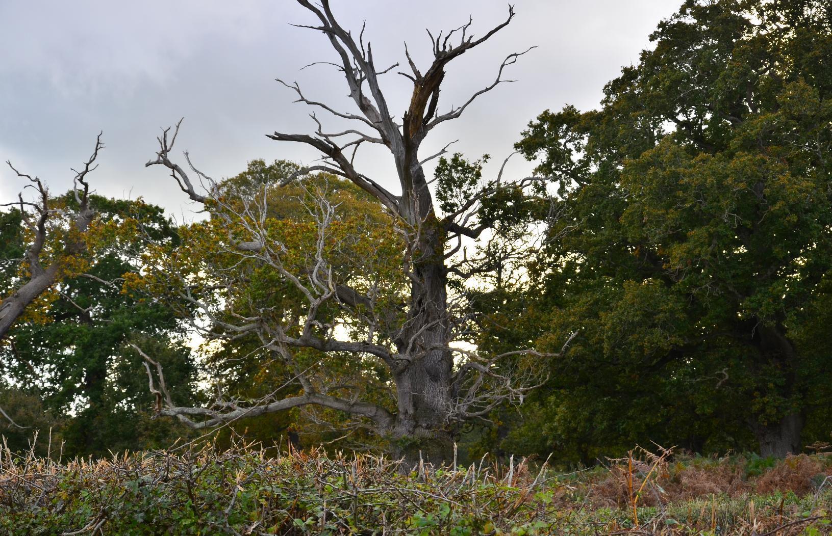
Dead tree

Most #FarmFields have been replanted after harvesting and even now, shoots are appearing. Meanwhile most #Trees still have their #Foliage.
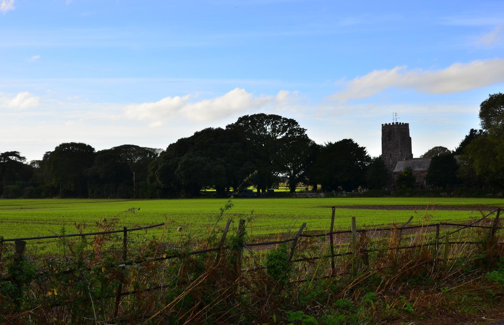
Green shoots in a field

The #plants and #insects that feed off them are also a food source for these male and female #pheasants.
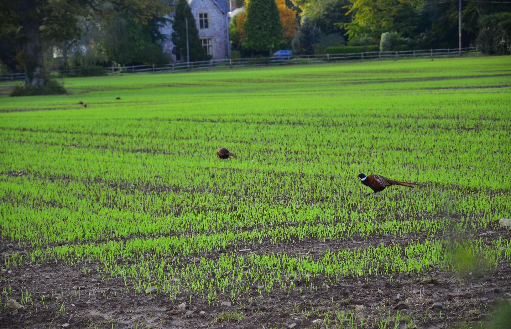
Pheasants feeding in a field

The village of #Starcross is small but it happens to have a #RailwayStation on the line from #LondonPaddington and #Penzance, though the #IntercityTrains don't usually stop there. This is the last part of the journey for me before I turn and head back homewards at the station itself.
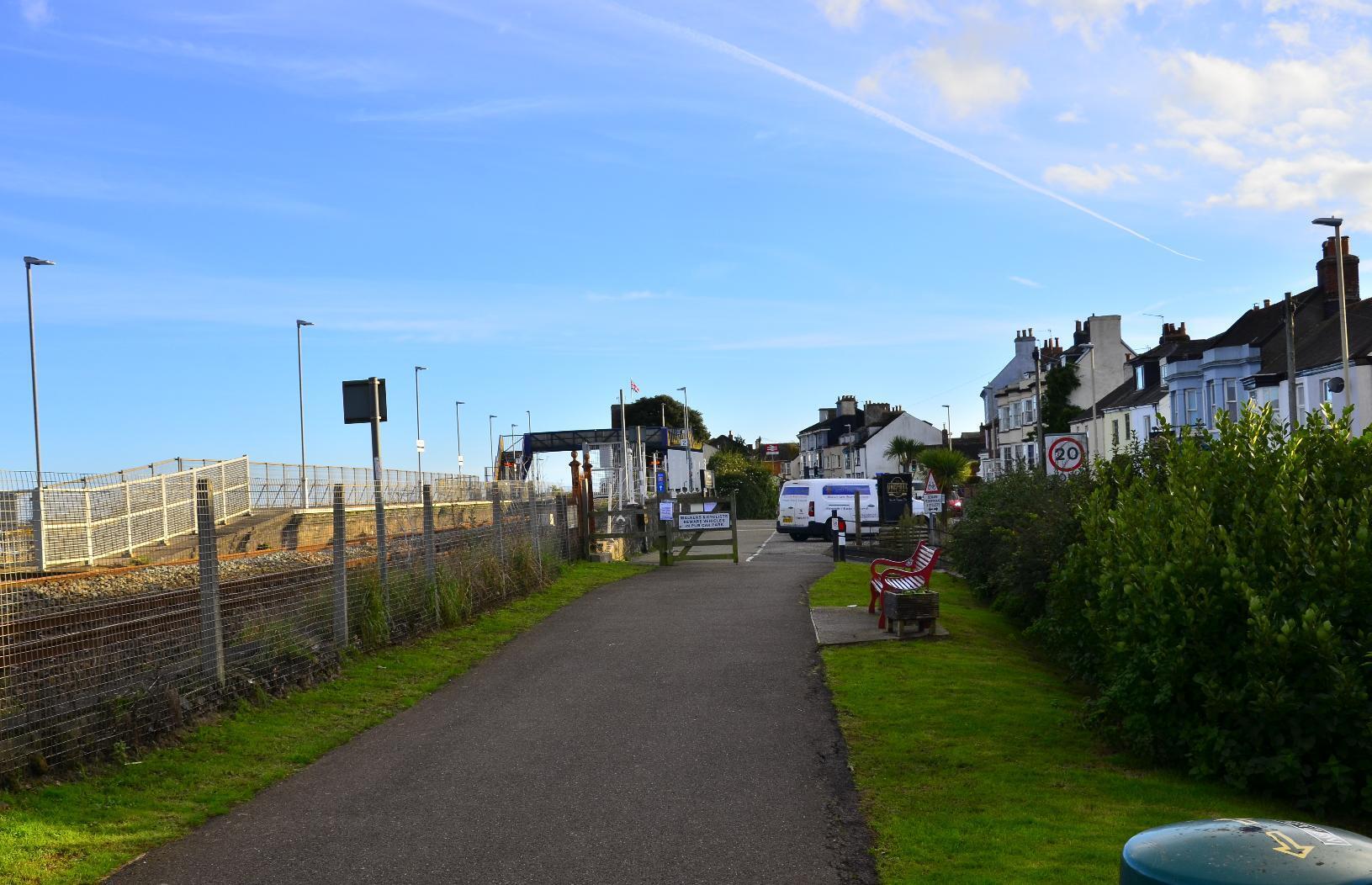
Starcross and its train station

Here is an #IntercityTrain passing. It is run by #GWR or #GreatWesternRailways, which was a company in existence before nationalization and which came back after privatization.
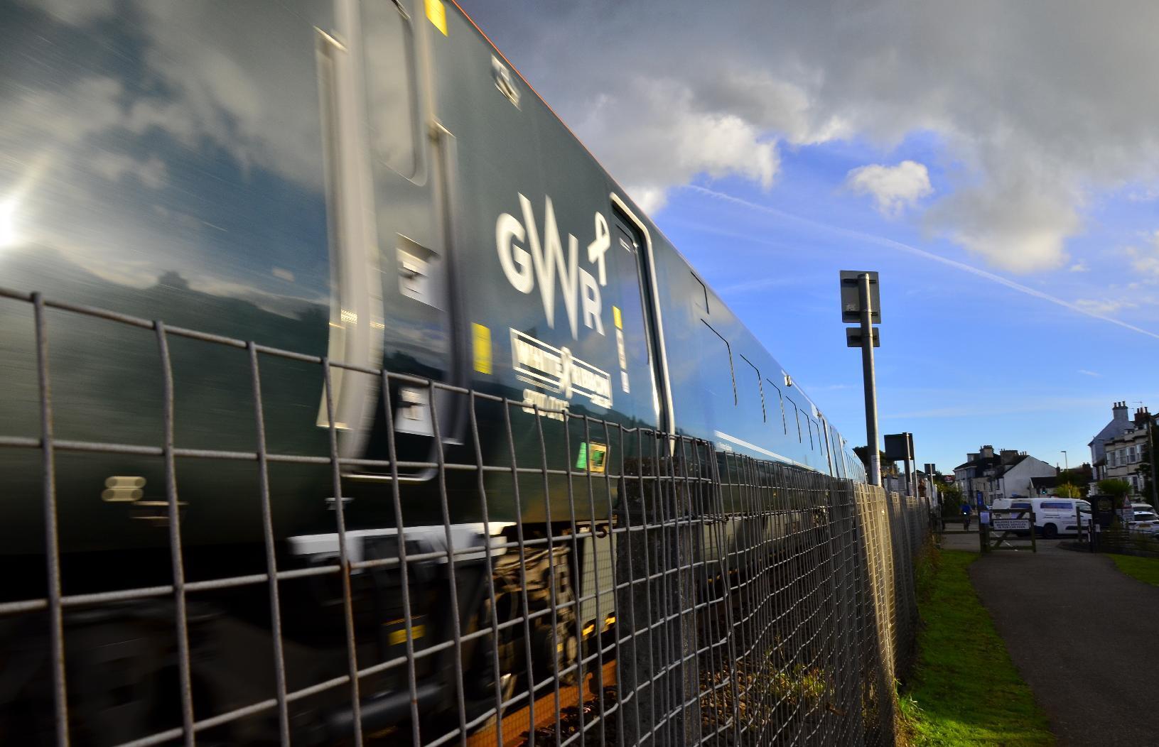
Train passing the cyclepath

Starting to head back, you can get a good view of the other side of the #Estuary, where the #town of #Exmouth can be seen. There happens to be a nice ferry trip on which you can take your #bike between #Starcross and #Exmouth
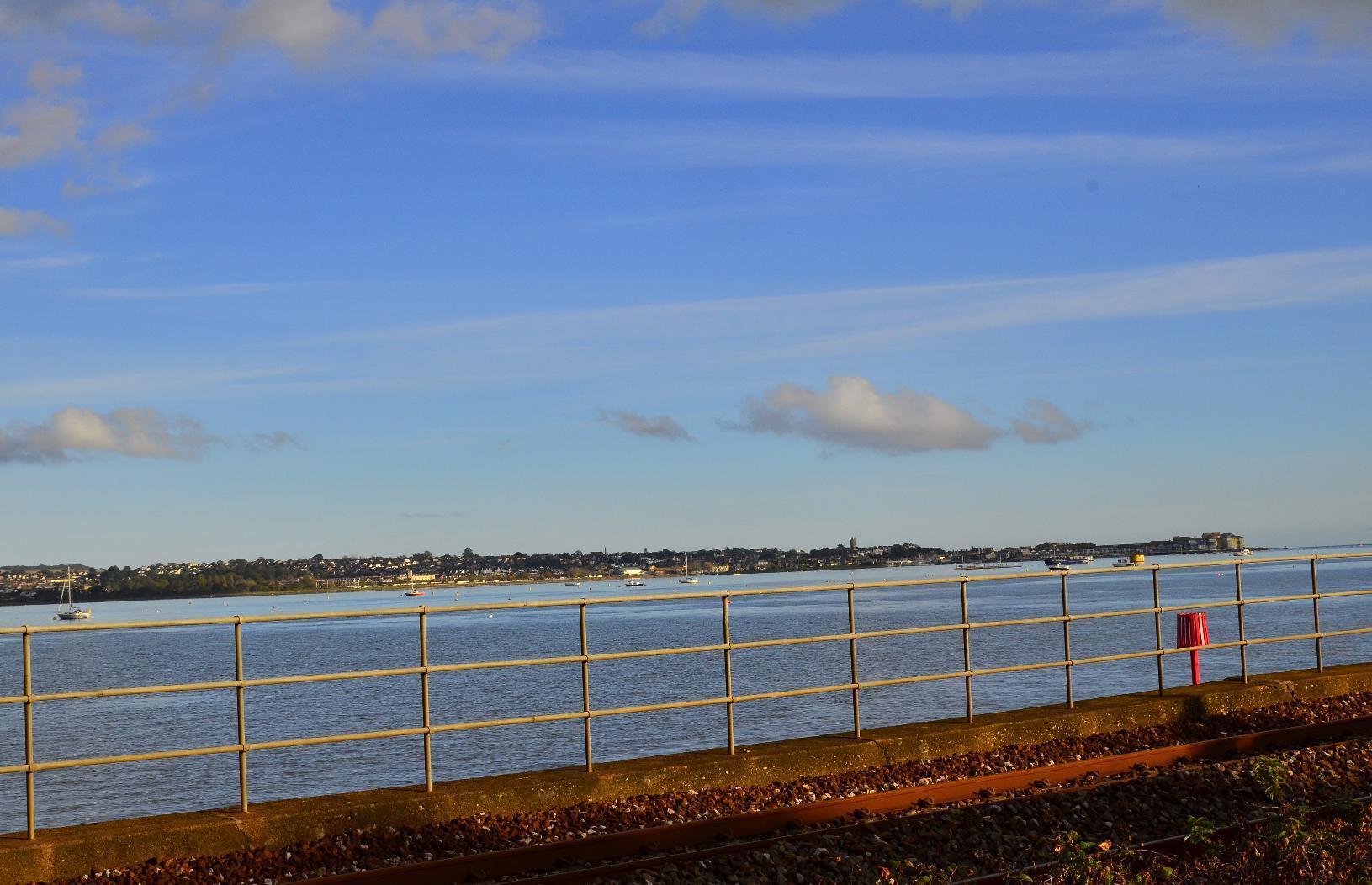
Exmouth as seen from Starcross

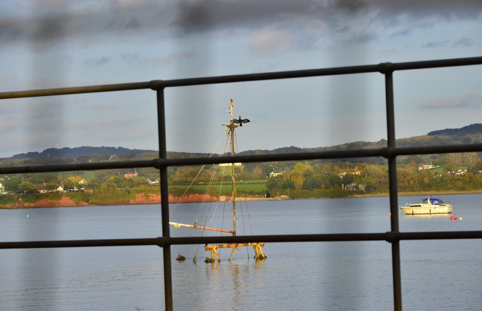
The #ExeEstuary has a few #wrecks in it. I presume they are #NavigationHazards but I guess it would prove too expensive to clear the #waterway. Perhaps they provide a #habitat for #MarineLife. Here you can see #Birds (I can't tell whether they are #Cormorants of #Shags).
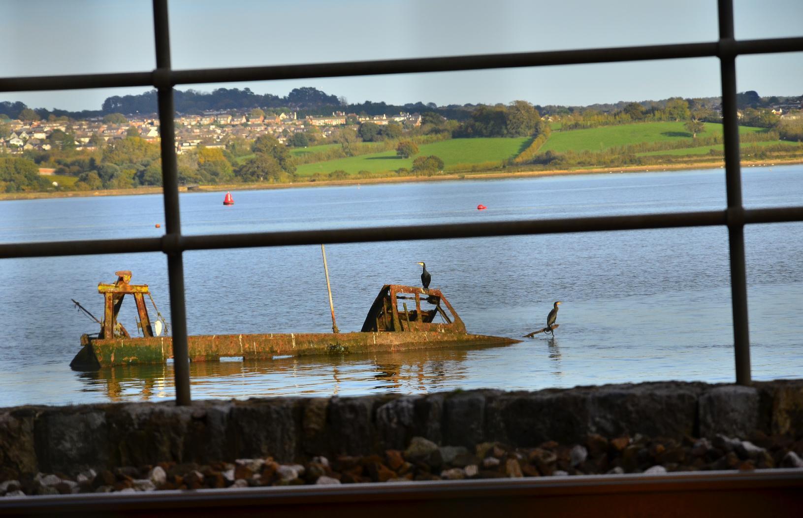
Birds perching on a shipwreck
Bird perching on a shipwreck

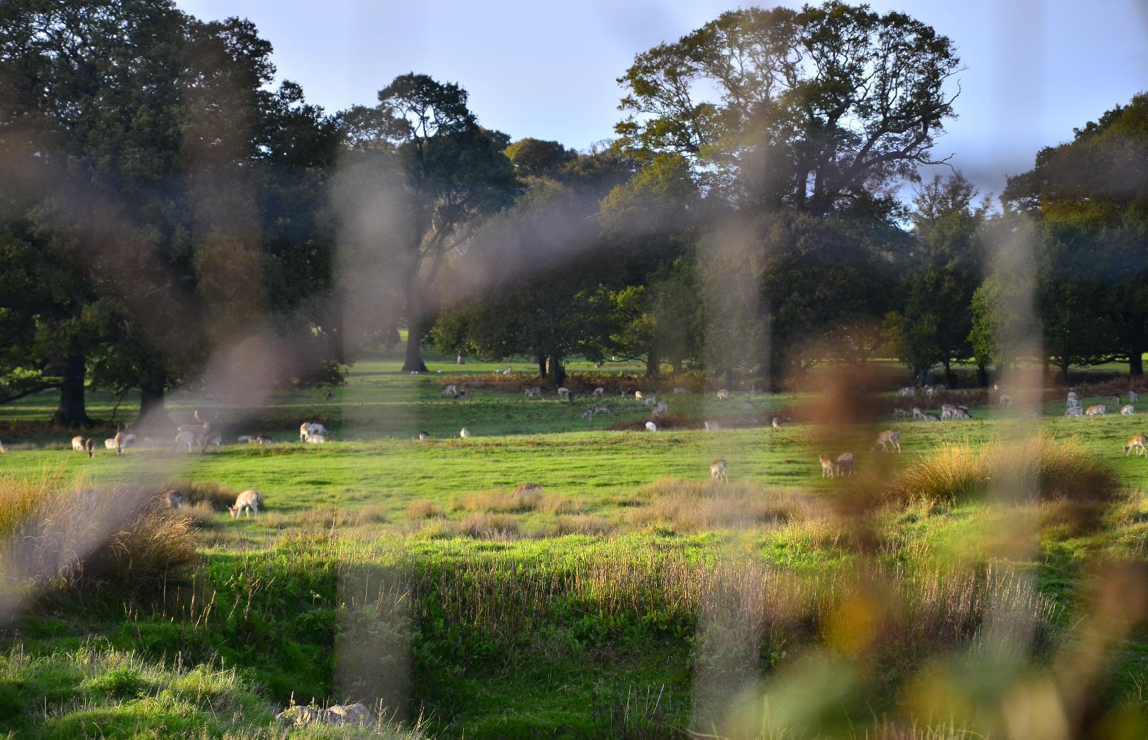
Next, we come to #PowderhamCastle, which is now a #NationalTrust property. It has a herd of #deer numbering in the hundreds.
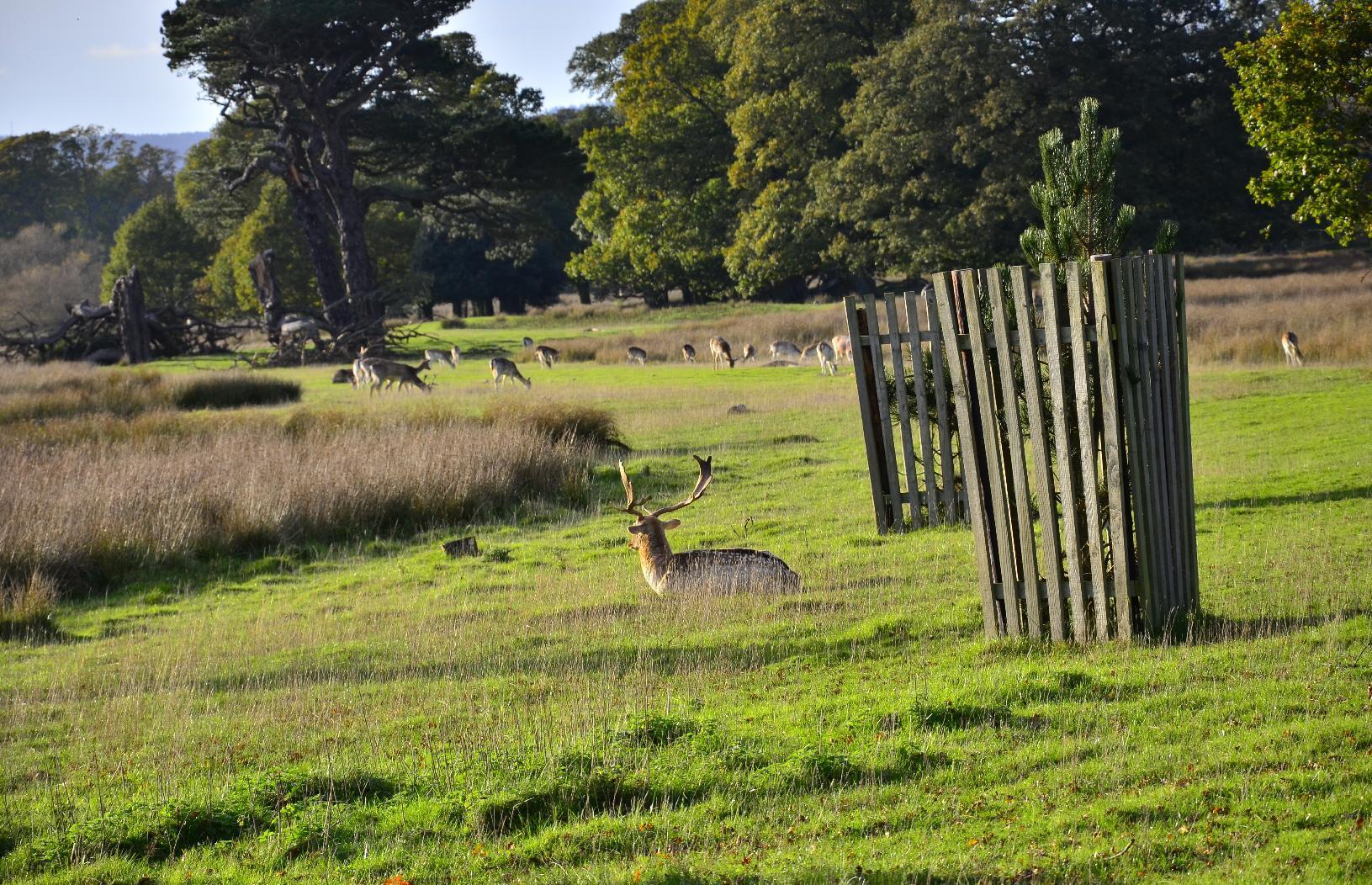
Male deer sitting in a field
Male and female deer in a fileld
Dozens of deer in a field

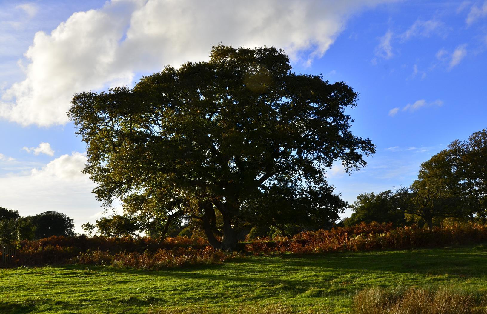
The mild #autumn #Sun is seen shining through this #tree's #branches.
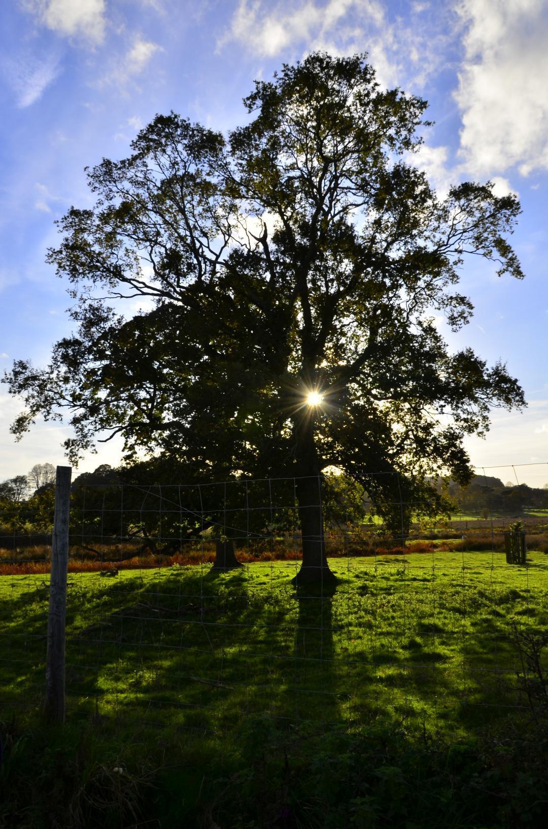
Tree with sunlight shining through it

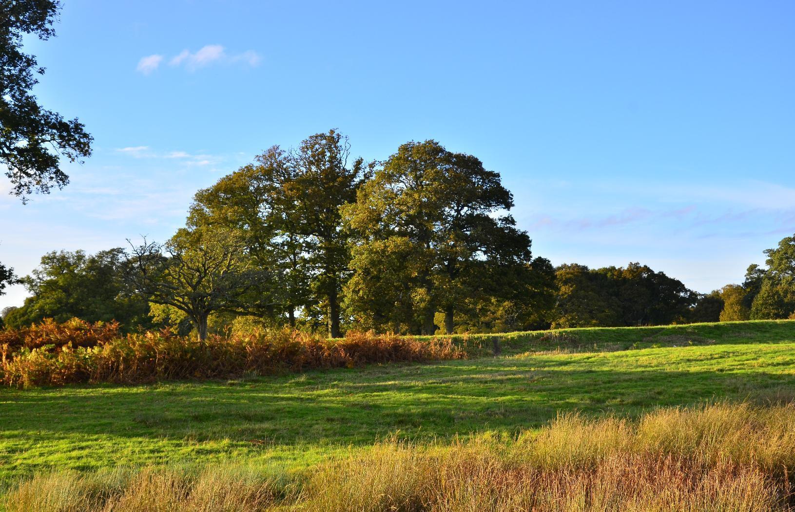
More #trees in the grounds of #PowderhamCastle.
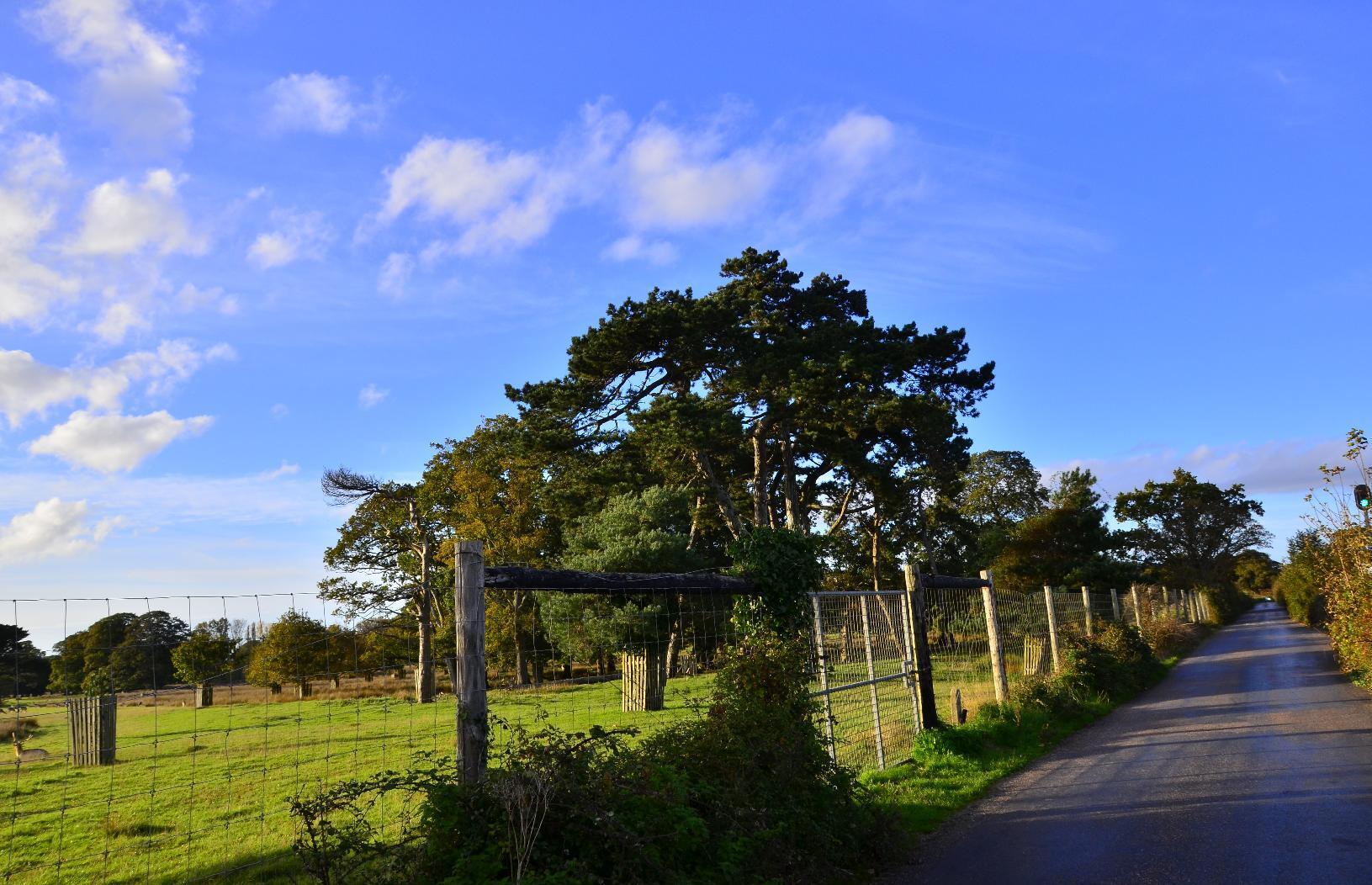
Trees in a field
Trees in a field
Trees in a field

At first glance, this may look like a dead #tree but you can see that parts of it still has #foliage.
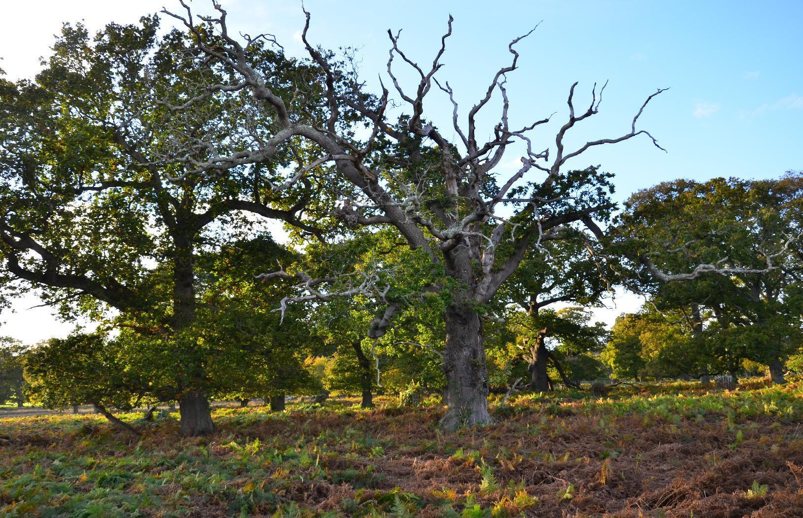
Tree with dead and living parts

This #tree, on the other hand, looks completely dead.
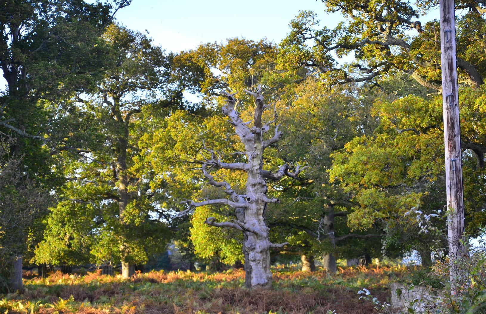
Dead tree

This #Pheasant is eyeing the #photographer warily.
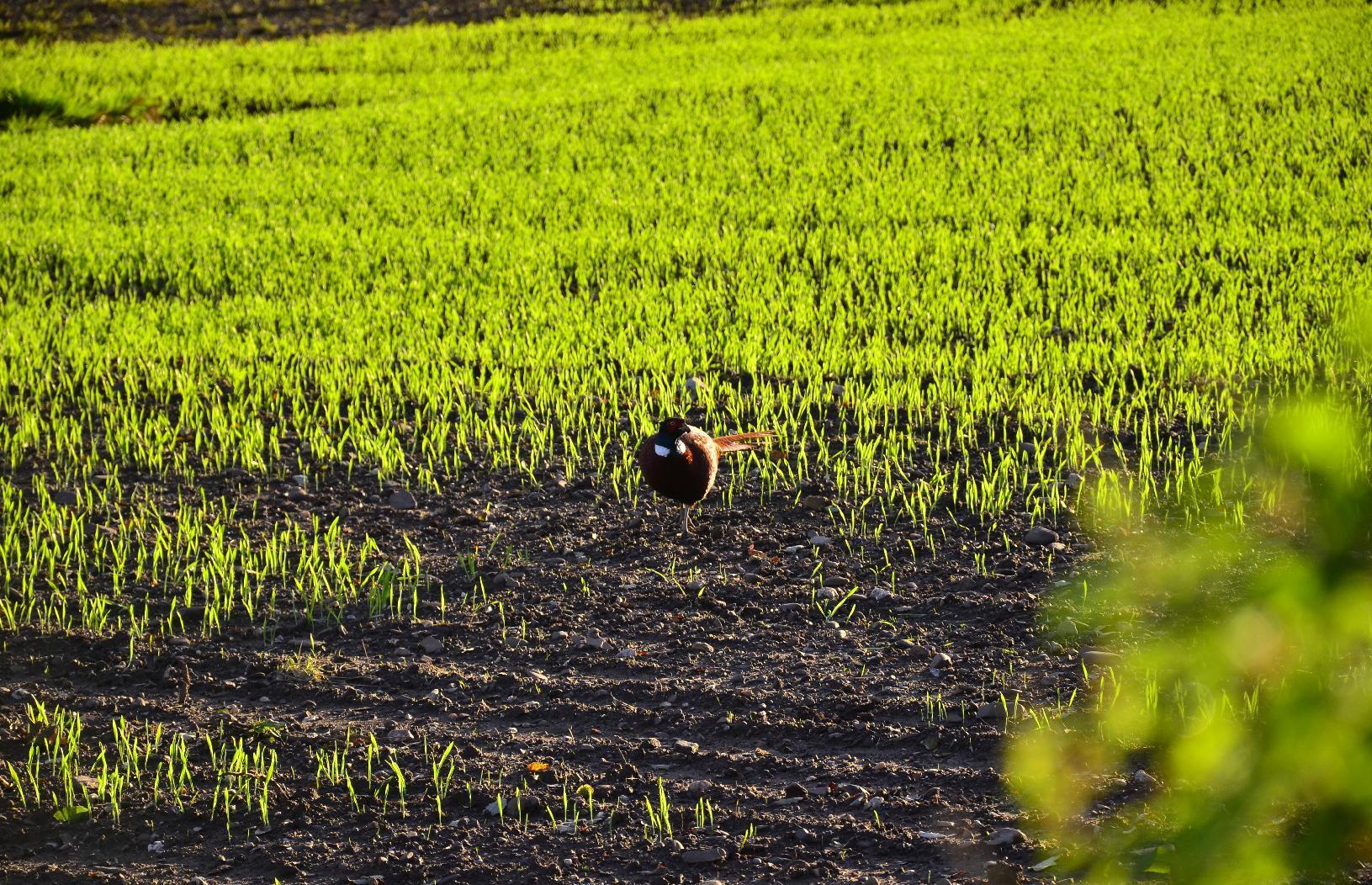
Pheasant in a field

This #cycle #bridge was installed not much longer than a decade ago. It makes traversing the #RailwayLine easy. I think there was a #footbridge before this but I'm not sure. A nice addition to #cycling #infrastructure.
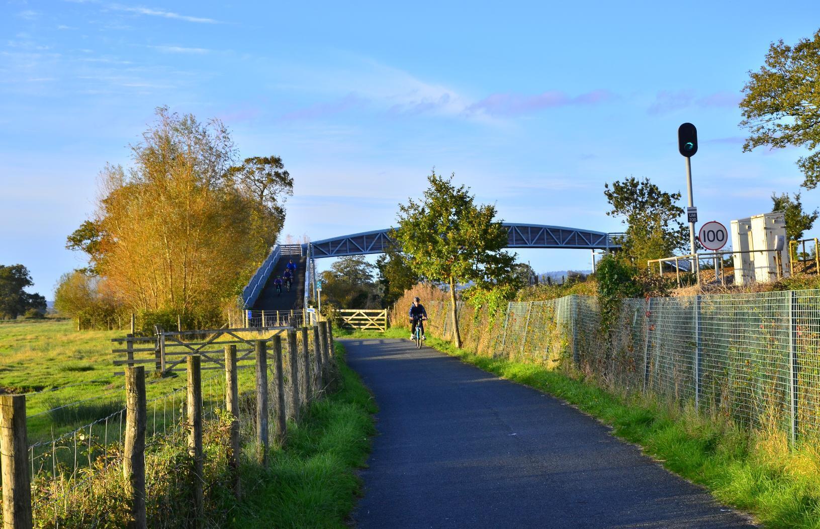
Bridge over a main railway line

From the top of the #bridge, you can see the #barracks of the #RoyalMarines in #Lympstone. Technically, this #photograph is a #Selfie too.
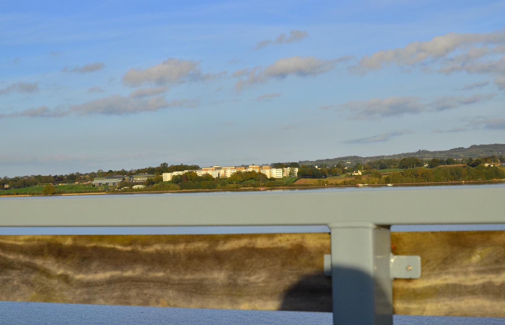
Royal Marine Barracks

Getting closer to home now, here is the #M5 #Motorway which links #London to #Exeter. This #concrete #viaduct goes over the #Estuary, thankfully leaving much it intact.
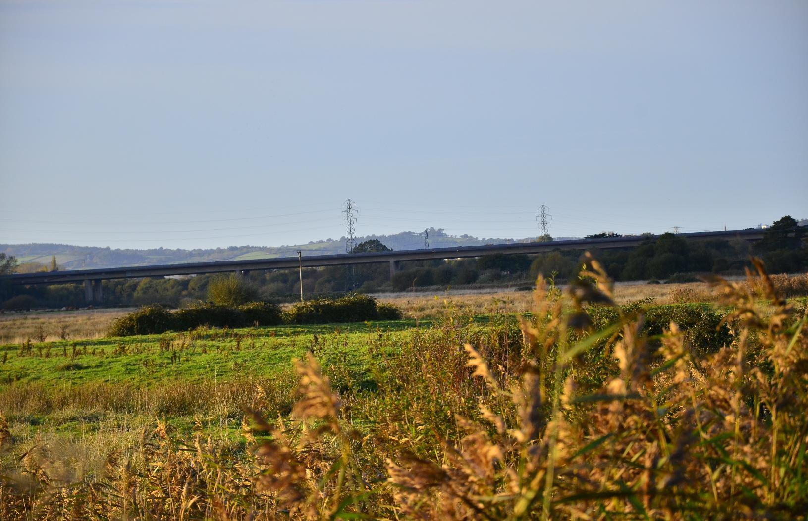
M5 over the Exe Estuary

Some parts around the #Cyclepath form natural ponds.
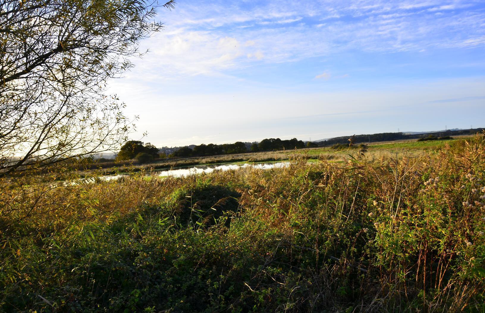
Pond in a meadow

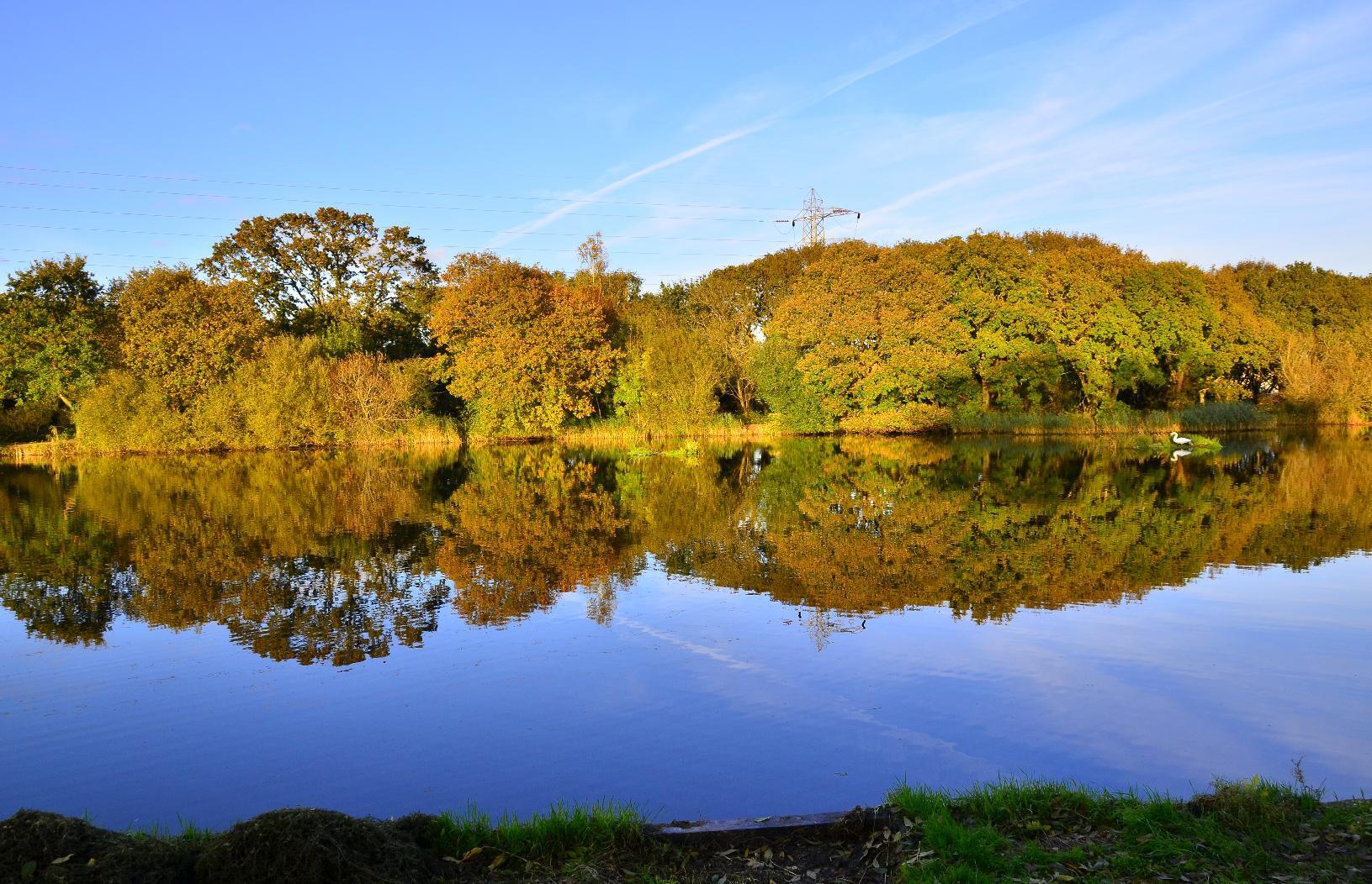
Any #journey of moderate length or longer often leaves one #reflecting. Here, you can let the scenery do it.
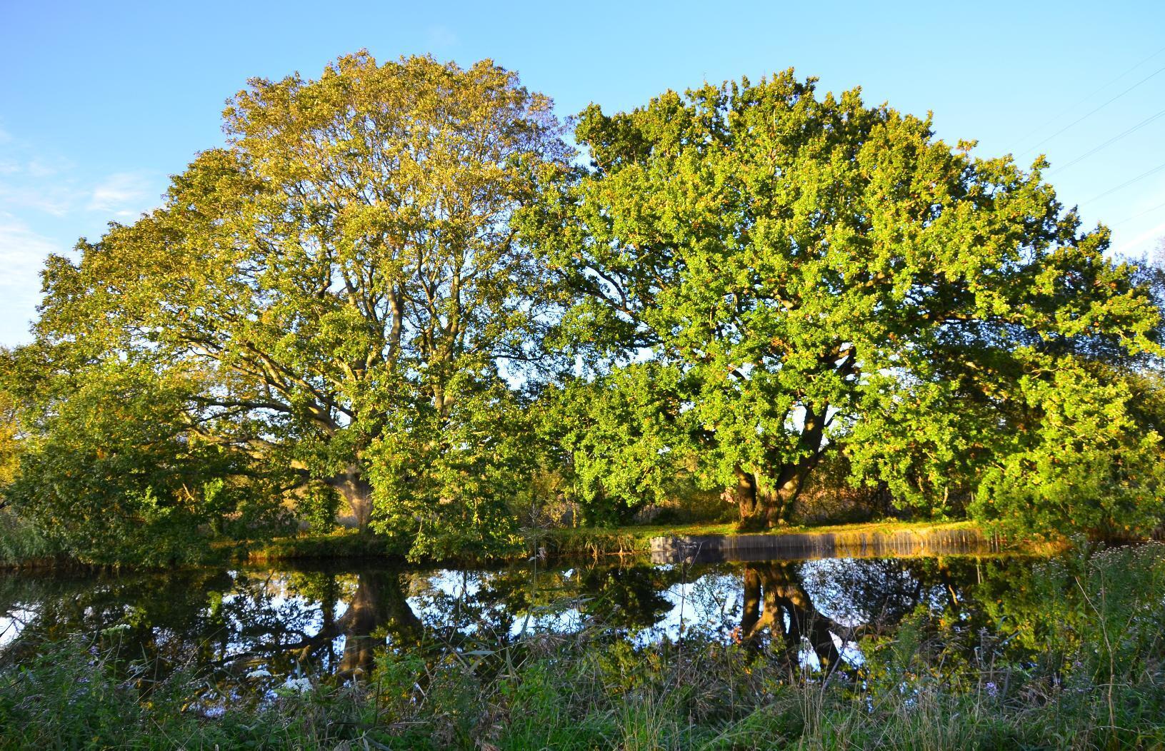
Trees reflecting in the canal
Panorama of trees reflecting in the Exeter canal

This #swan was preening on the #ExeterCanal (and so was its #reflection).
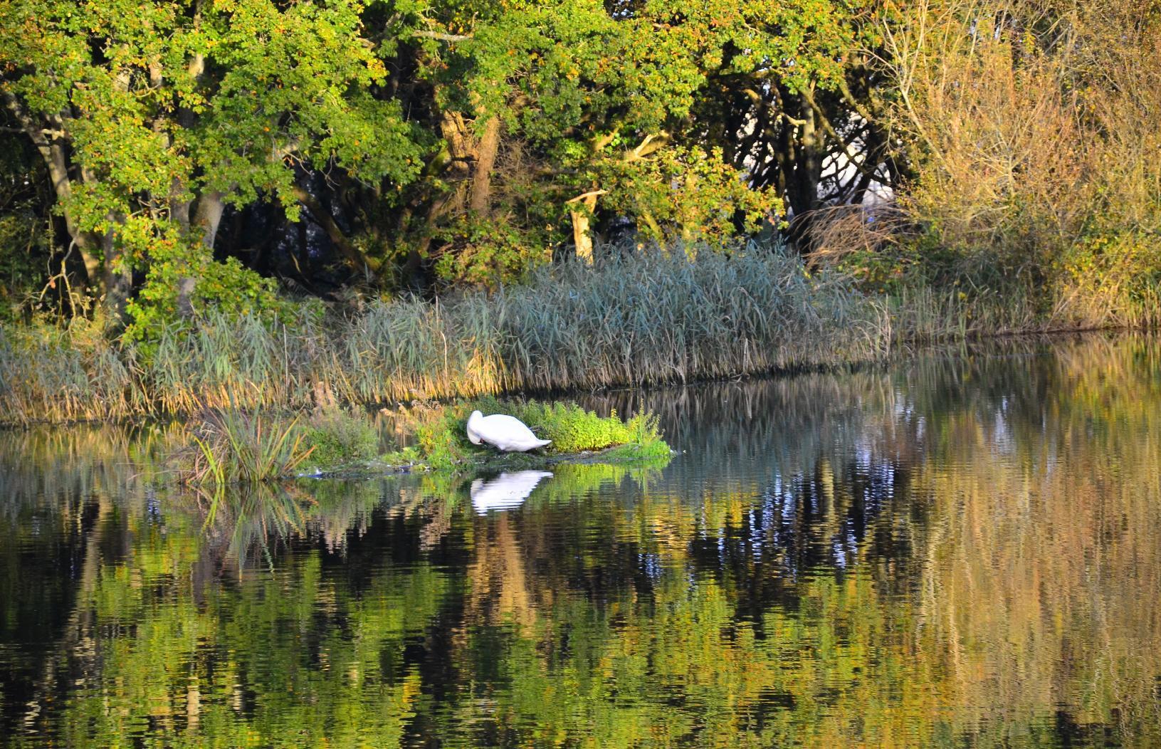
Preening swan and reflection

Lastly, this is the #bridge over the #RiverExe, which is a sign that my home is a mere 5 km away. A sight that is always welcome. The bridge is old but it a #cyclepath was constructed as an extension to it on the far side, which blends in very nicely with the existing #masonry.
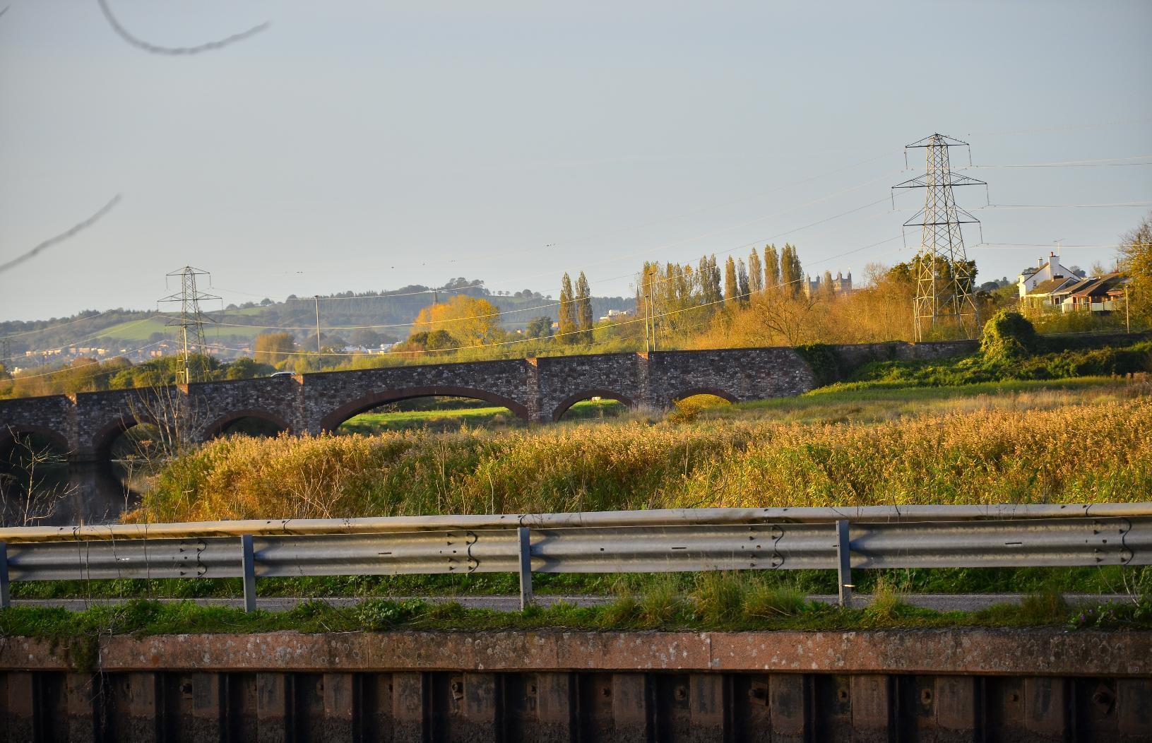
Masonry arch bridge over the River Exe

#MyWork #MyPhoto #CCBYSA #DSLR #Nikon #D7000 #Autumn
mkwadee@diasp.eu

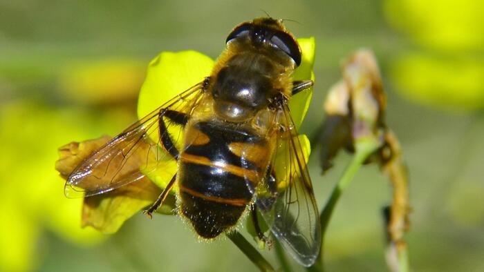
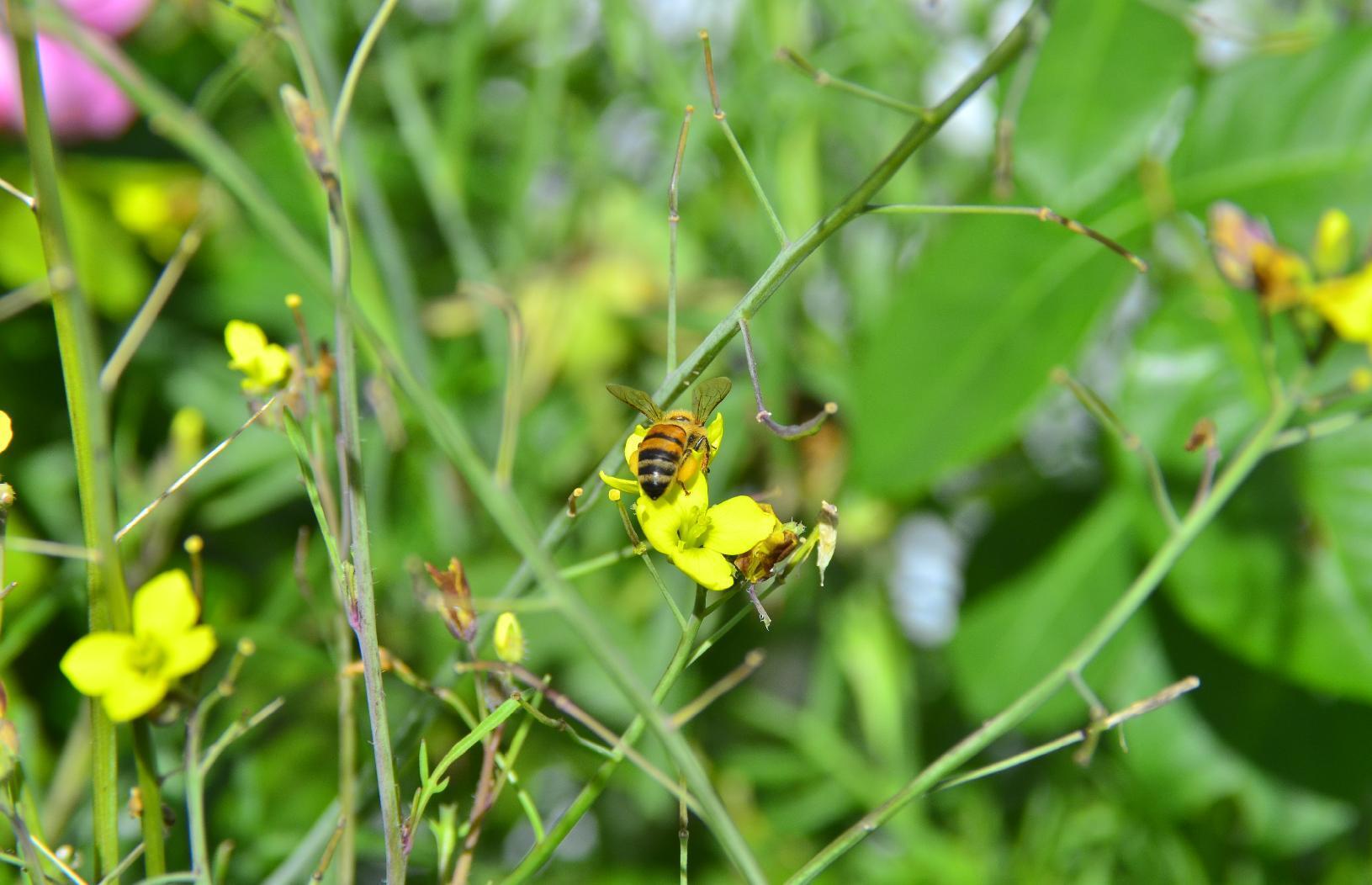
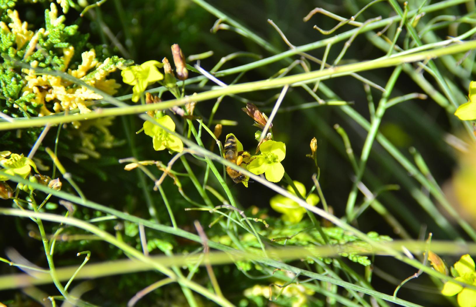
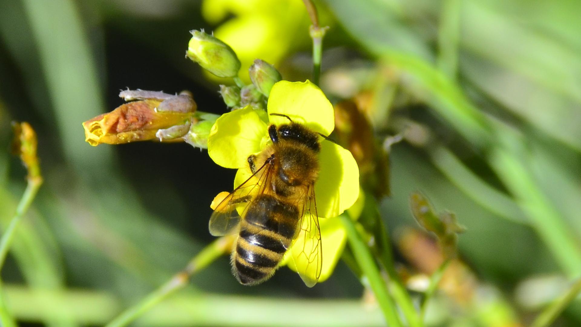
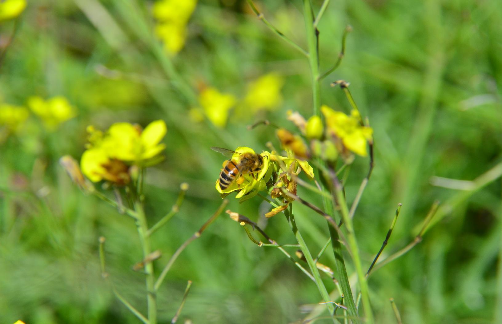
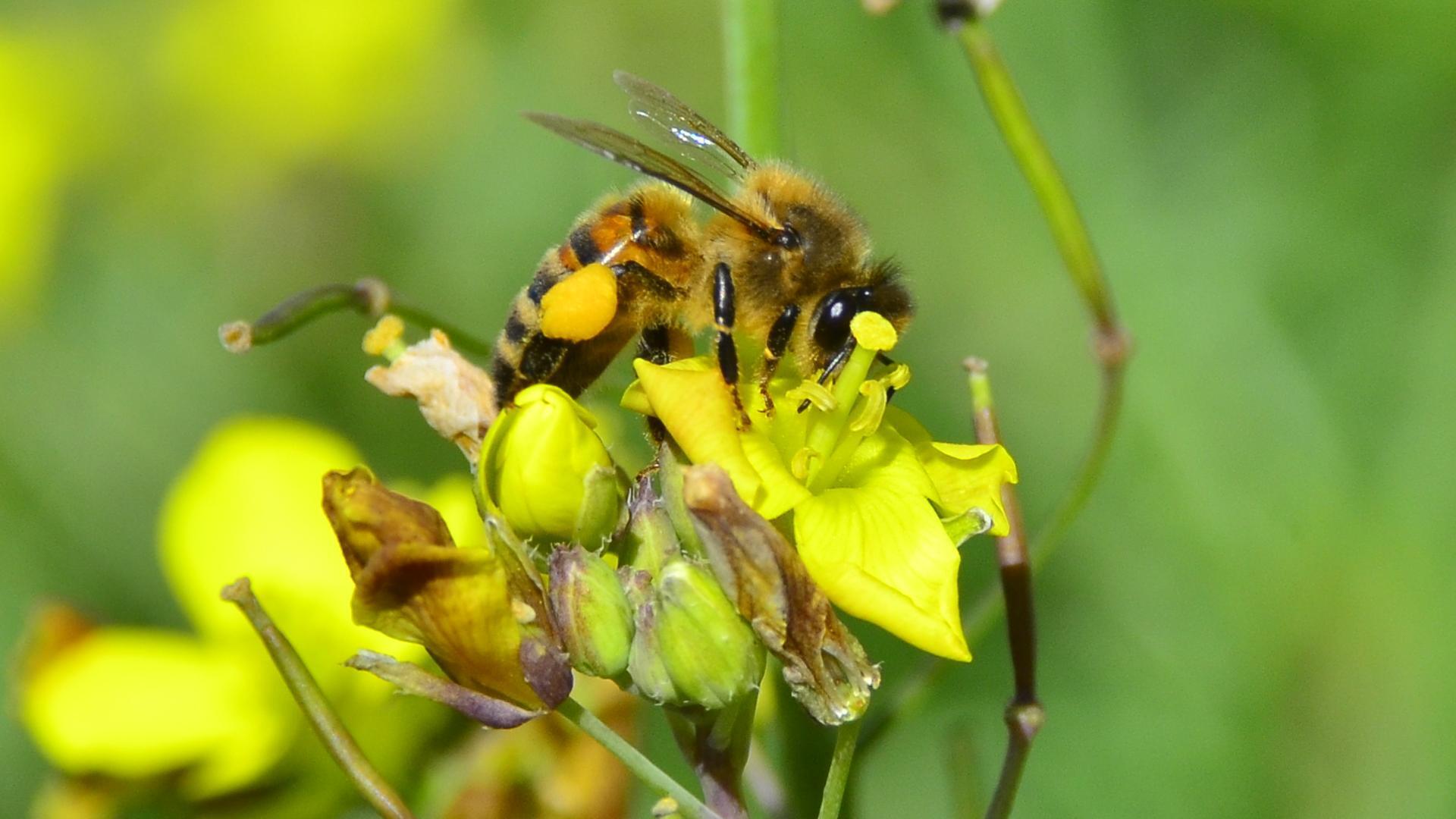
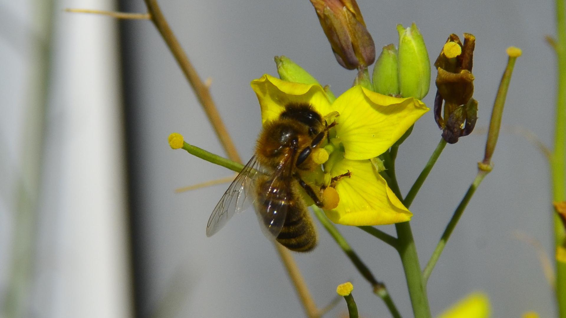
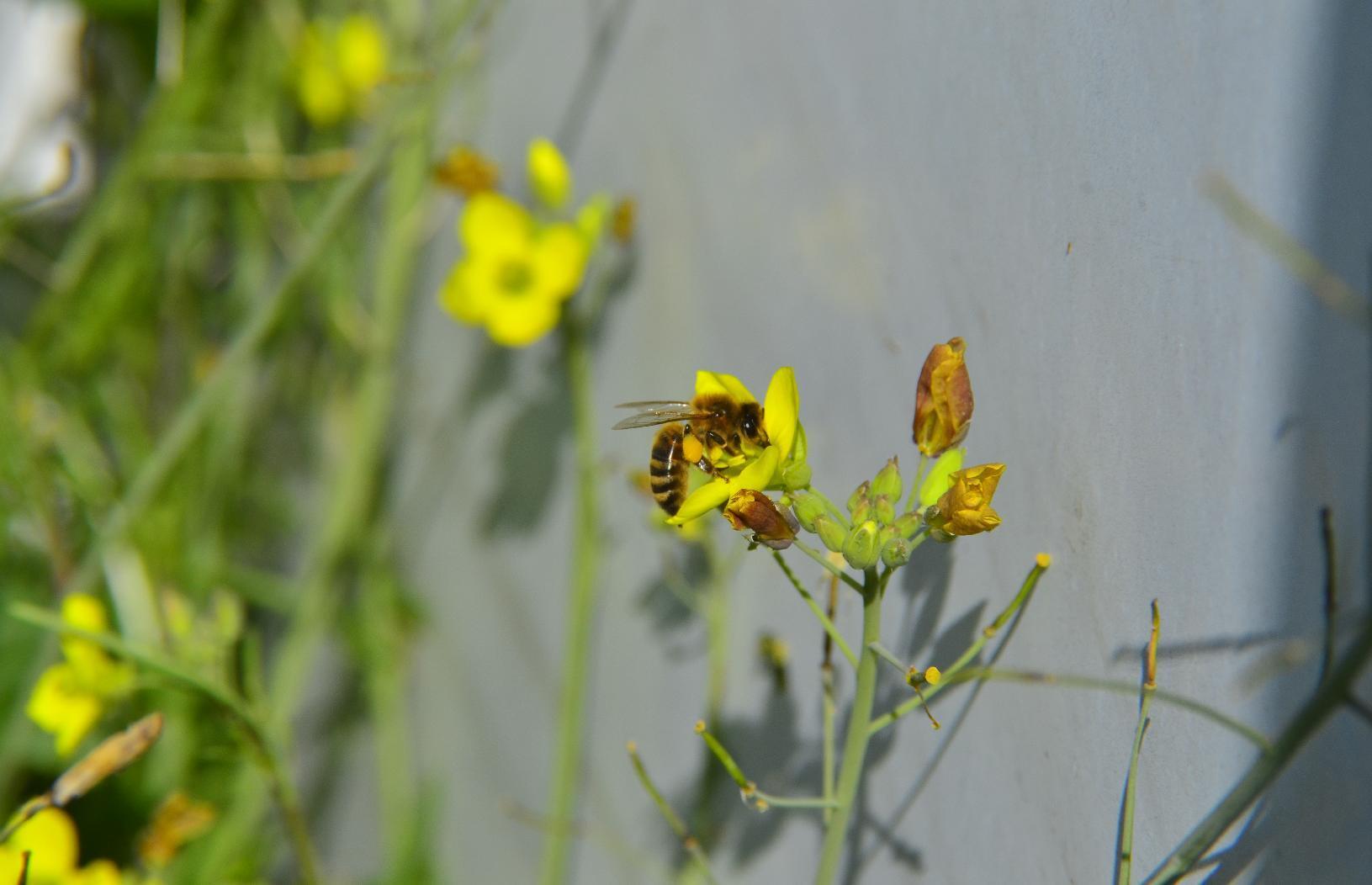
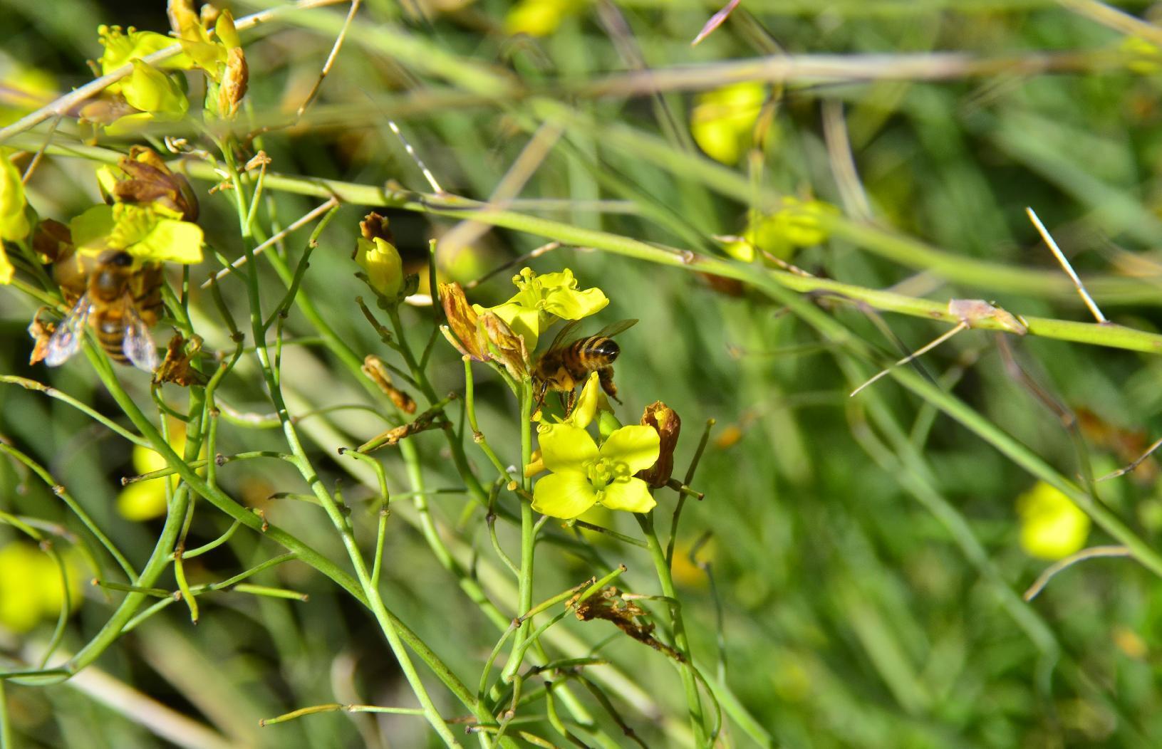
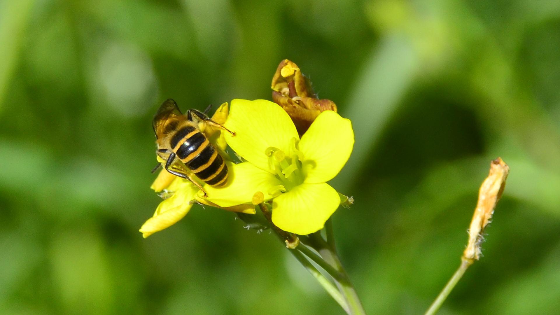
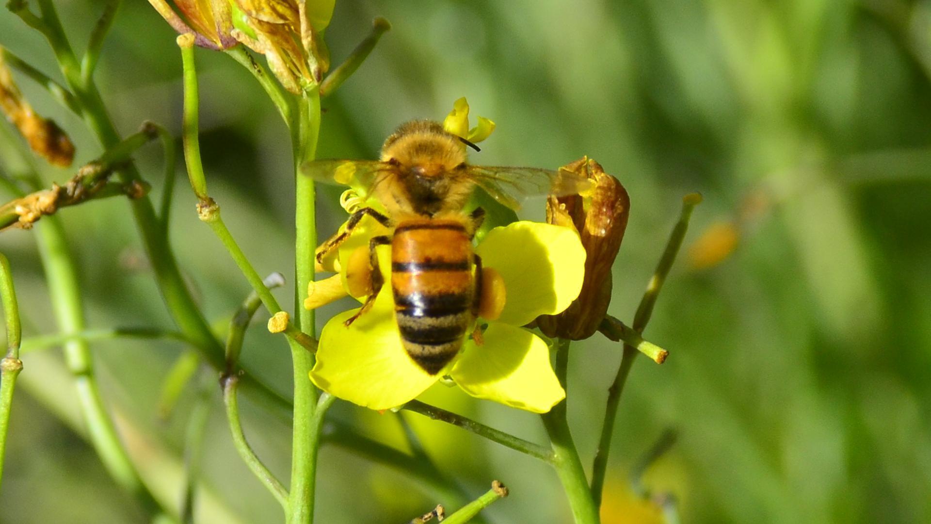
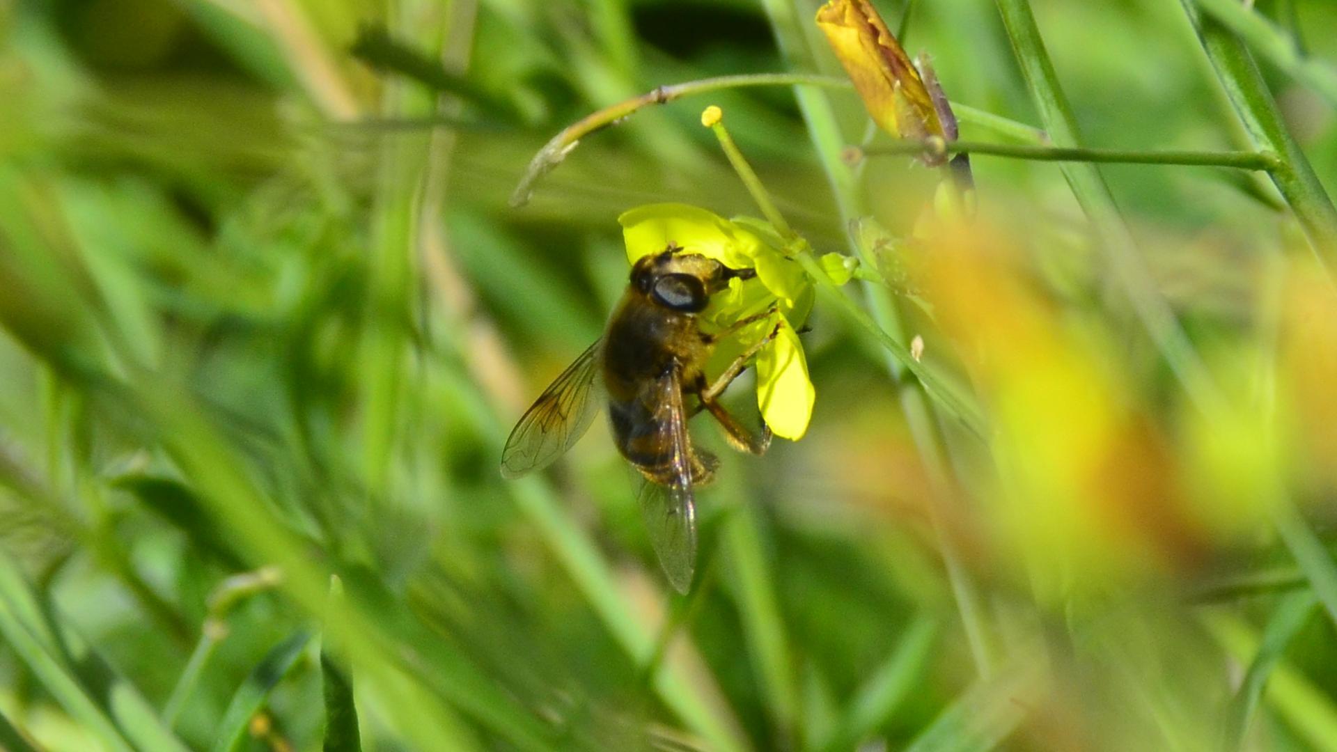
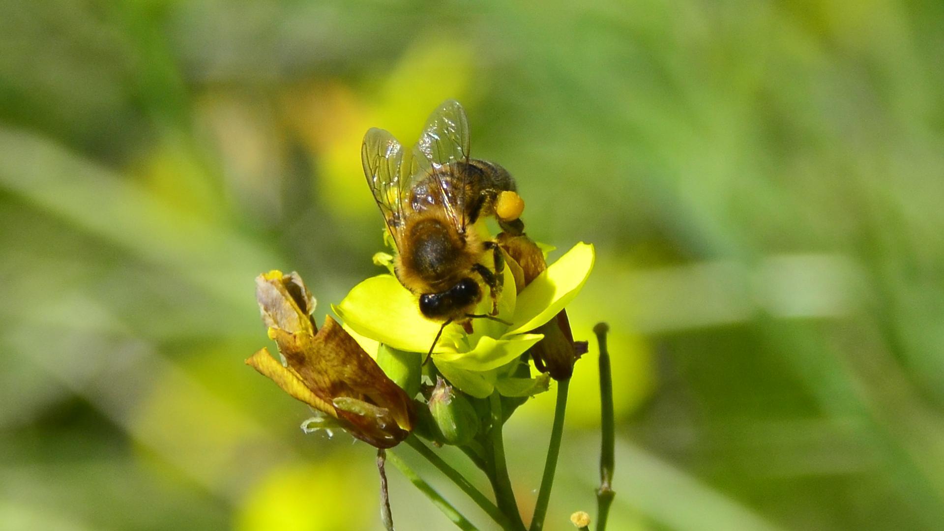
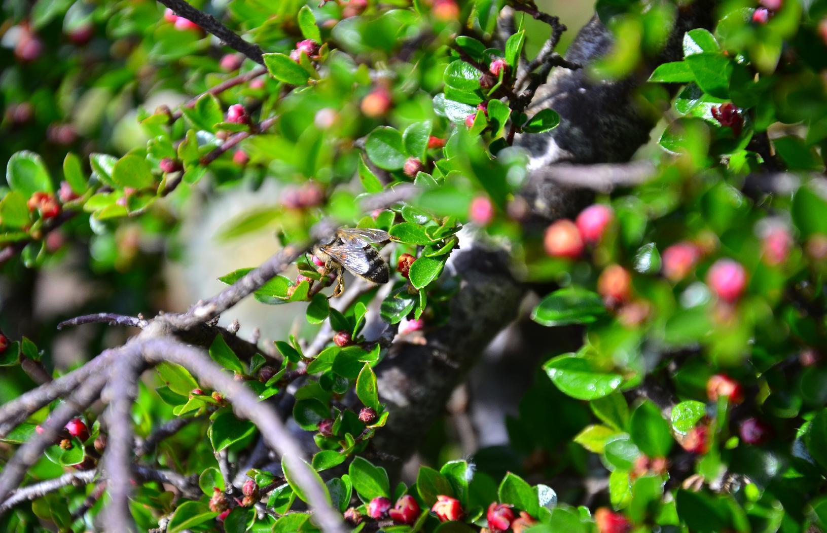
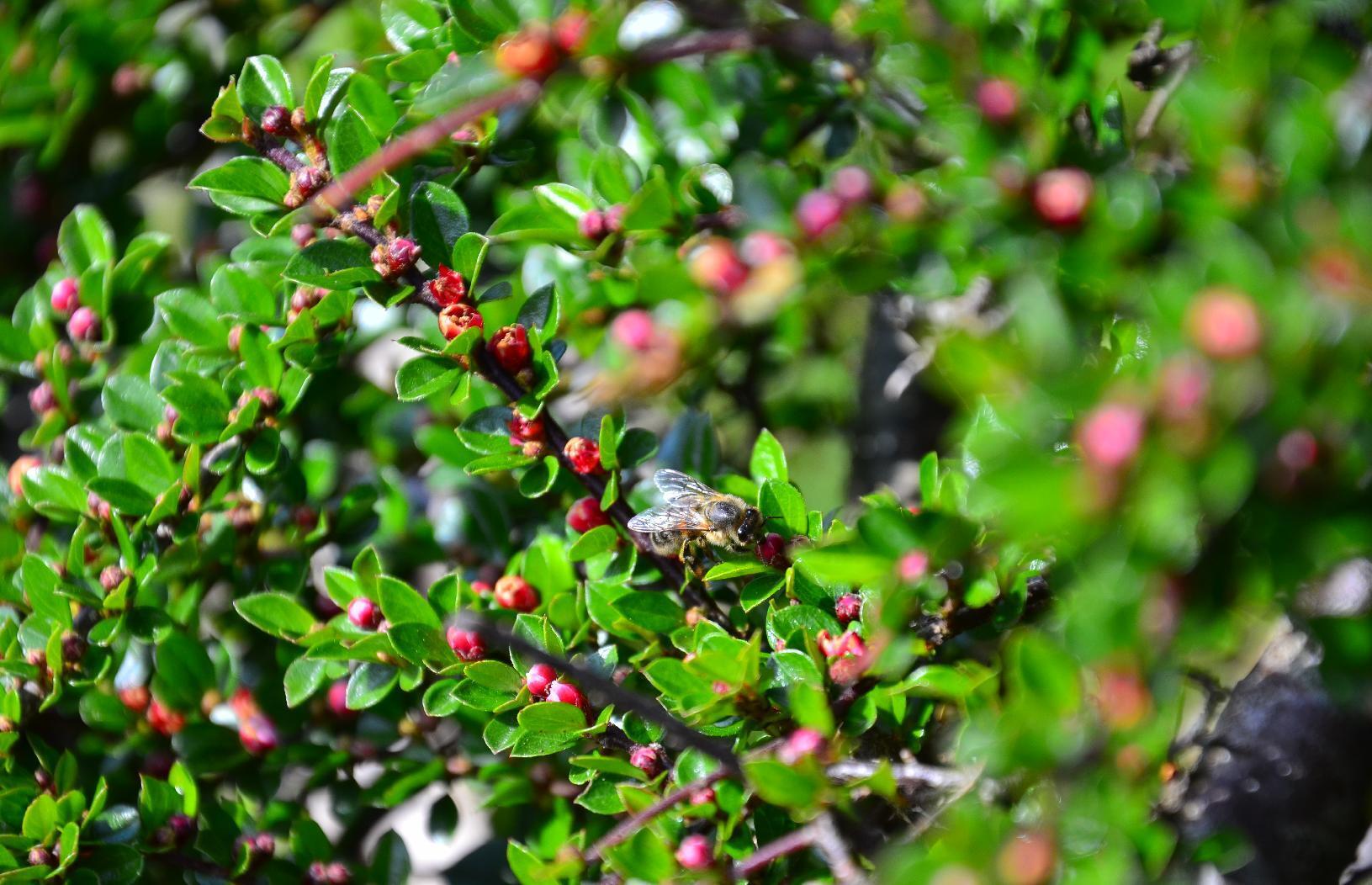
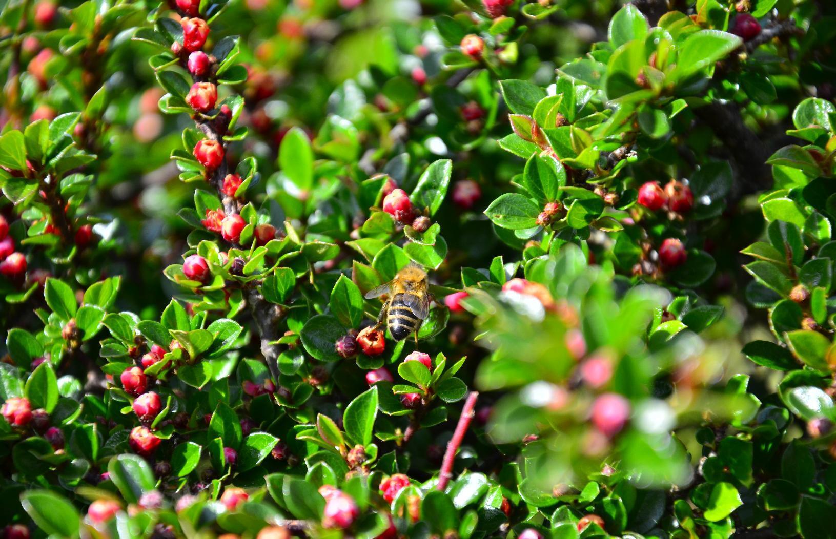
This is the last week of #summer but today is hot and #sunny and so the #pollinators are out doing their thing before it gets to damp and dark and the #flowers wither away. In the front #garden, one of the #plants attracts a lot of #bees and #hoverflies. Here are some pictures I took with my #camera using a #MacroLens.
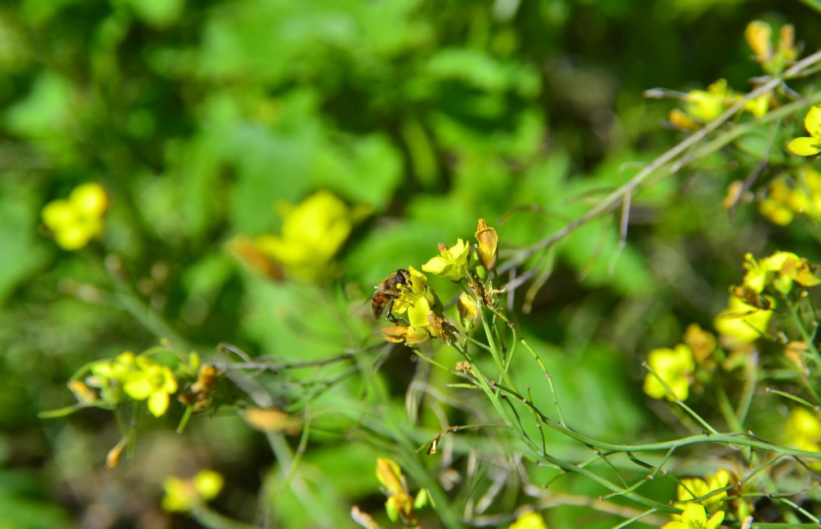
I'm not sure whether this is a #Bee or a #HoverFly.
Bee on yellow flower

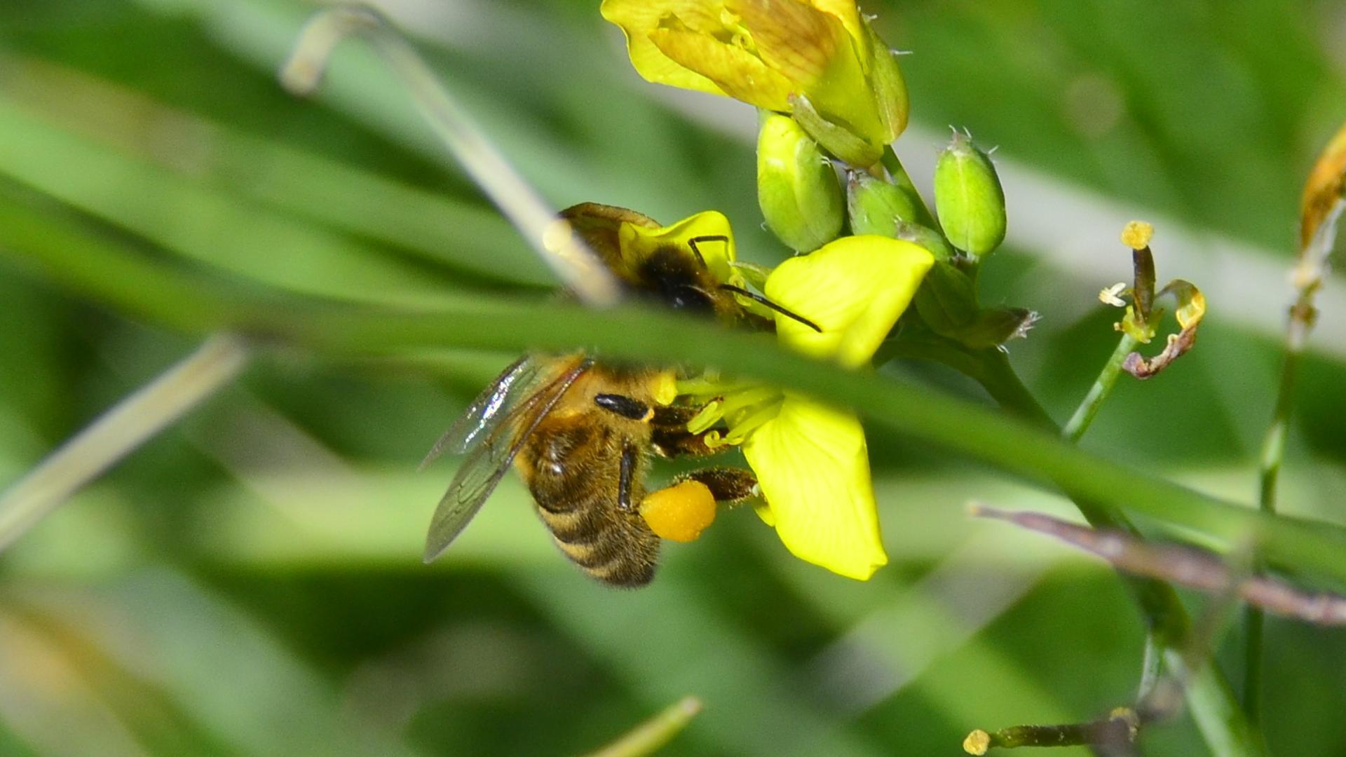
You can see the #PollenSacs on this #Bee.
Bee with pollen sacs

Bee on yellow flower

Bee on yellow flower

Bee on yellow flower

Bee on yellow flower

Bee on yellow flower

Bee on yellow flower

Bee on yellow flower

Bee on yellow flower

Bee on yellow flower

Bee on yellow flower

Bee on yellow flower

Bee on yellow flower

Bee on yellow flower

#MyWork #MyPhoto #CCBYSA #DSLR #Nikon #D7000 #Macro #Horticulture

mkwadee@diasp.eu

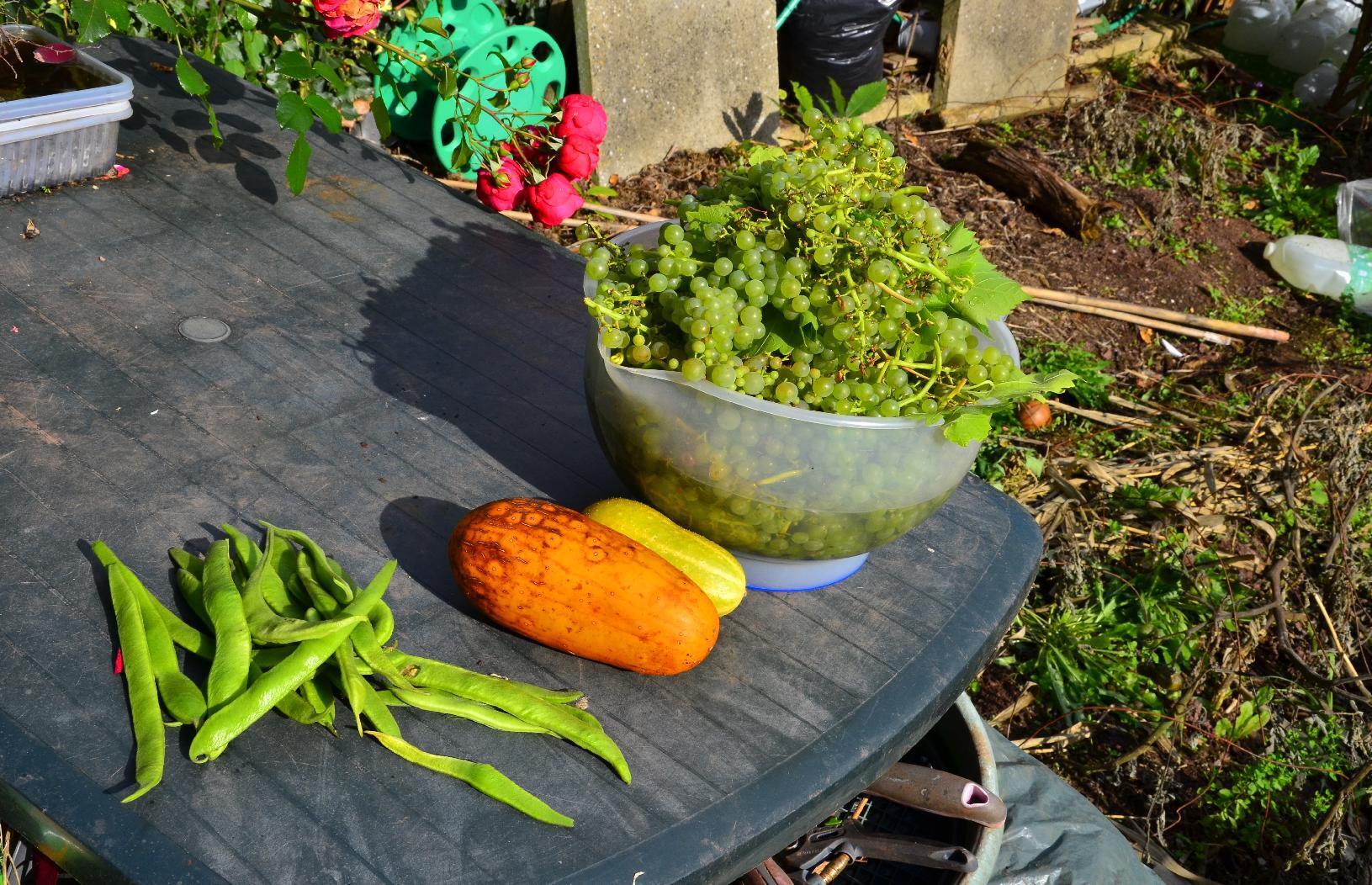
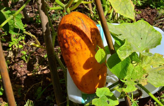
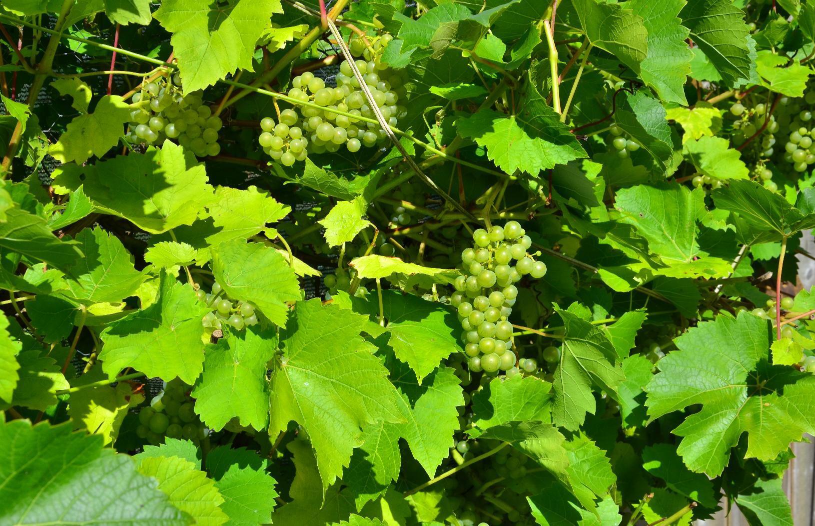
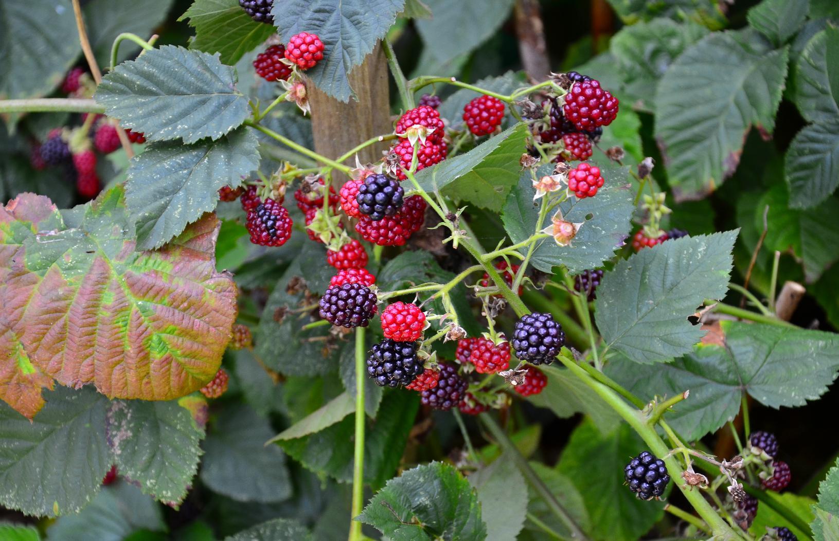
As #summer is coming to and we're heading towards #autumn, the #garden is bearing some #fruit which add #colour to the surroundings.

This #squash is about 25 cm long and has turned a very nice #orange #hue.
Squash ripening to orange

These #green #grapes are nearly ripe and the #Vine #Leaves are also used in #cooking.
Green grapes

These #blackberries are at various stages of ripeness.
Unripe and ripe blackberries

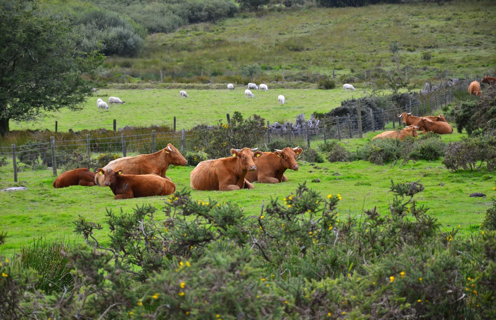
Here are some #cattle resting in the garden. Just kidding! That's from my recent trip to #Dartmoor and have nothing to do with me except that I photographed them.
Cattle in Dartmoor

#MyWork #MyPhoto #CCBYSA #DSLR #Nikon #D7000

mkwadee@diasp.eu

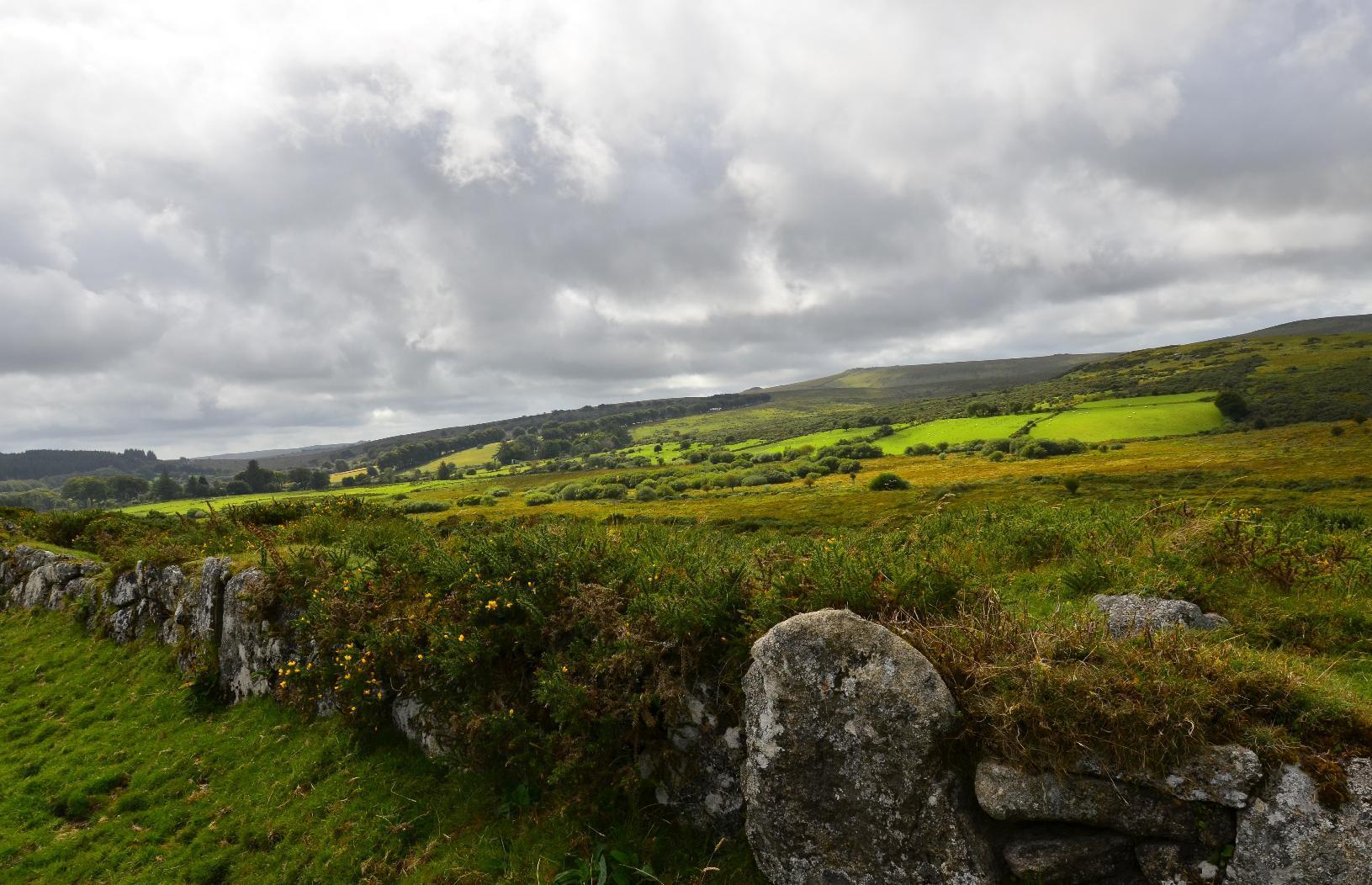
As it's a #BankHoliday #weekend, we went on a hike on #Dartmoor. I planned it to be a visit to somewhere I hadn't been before but starting off from a familiar location. In total, the excursion was 18 km of walking and took the best part of 6 hours with all the stops and breaks. As anyone who has walked here before knows, it's not to be done without preparation and having a good #map and #compass with you is vital. Mobile phone reception is patchy at best and so I rely on a paper map and the tried-and-tested method of #DeadReckoning. Essentials include a pair of good quality #WalkingBoots, #WaterProof clothing available and you should always prepare to be colder than you would be in town. As the terrain is quite rough and the vegetation can be thorny along with the presence of insects, #Shorts are not recommended unless you're happy to have grazes and bites by the end of the trip. The elevation is between 400-500 m above sea level and it is one of the wettest places in #England. It is also exposed to high winds.

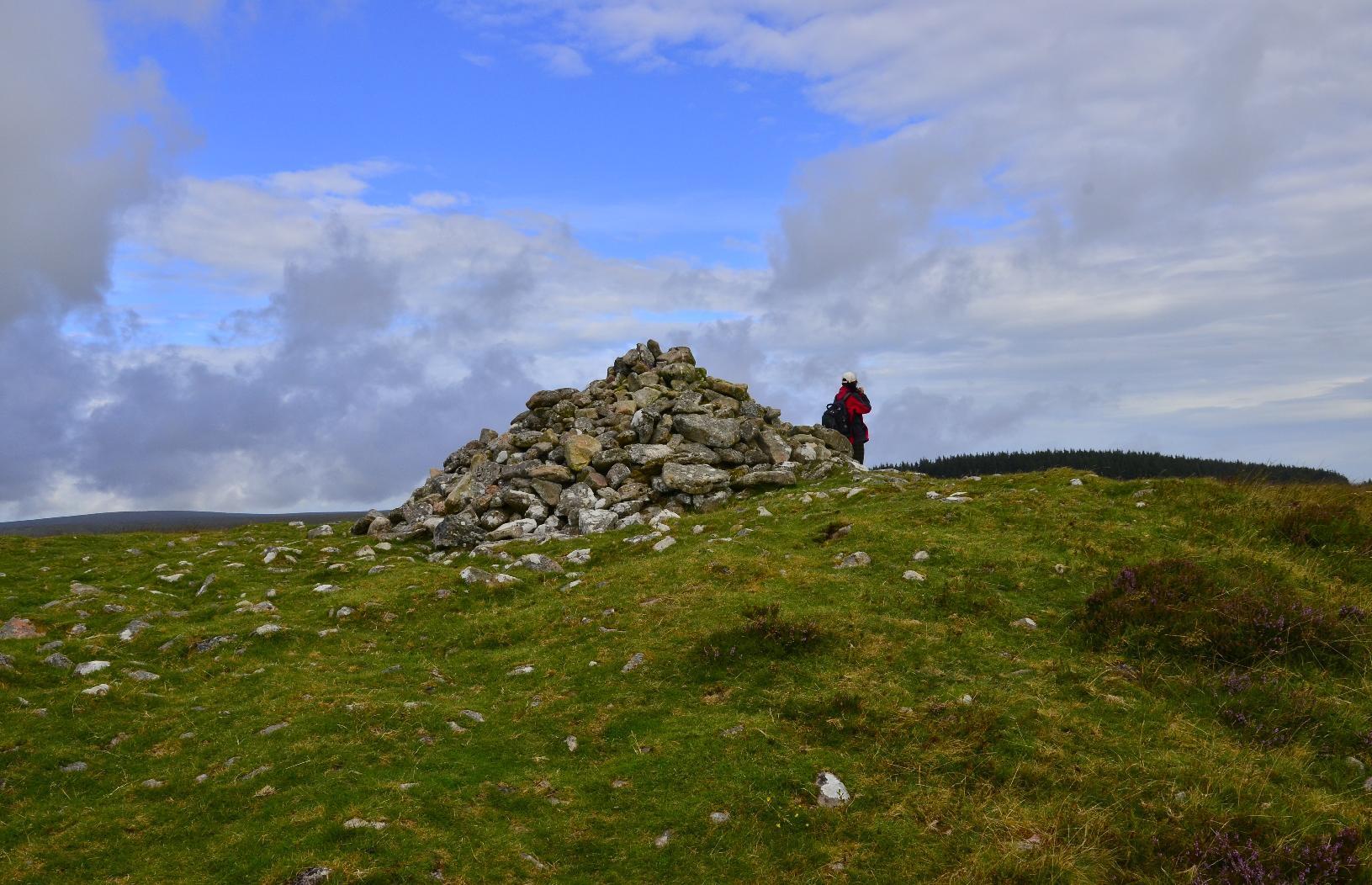
The start of the journey was easy enough, just a short climb up to a #Cairn.
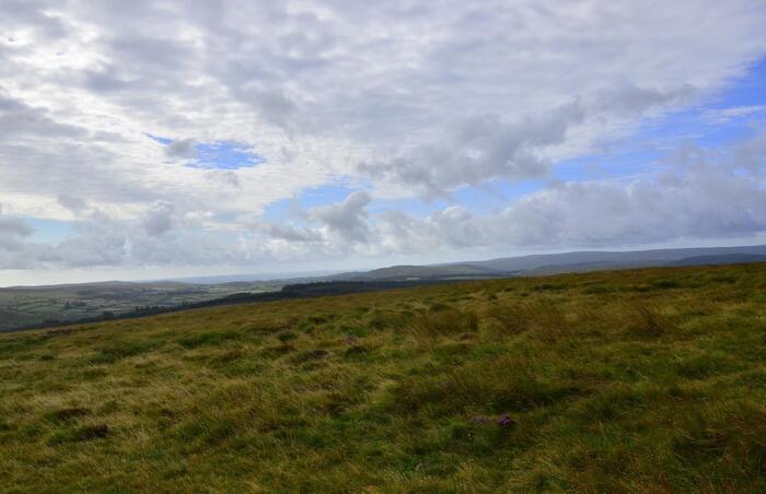
View looking south from the start of journey on Dartmoor
A cairn on Dartmoor

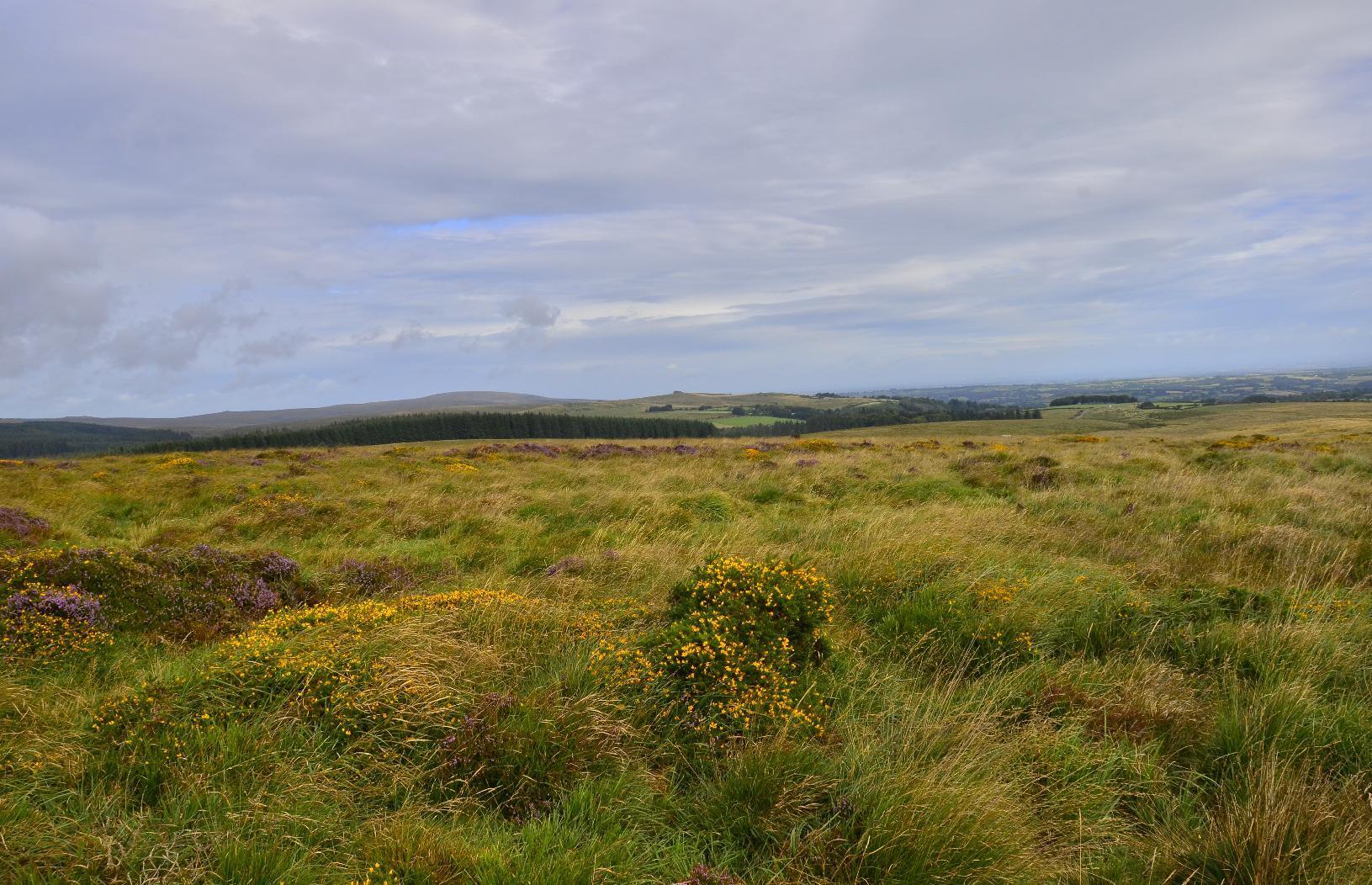
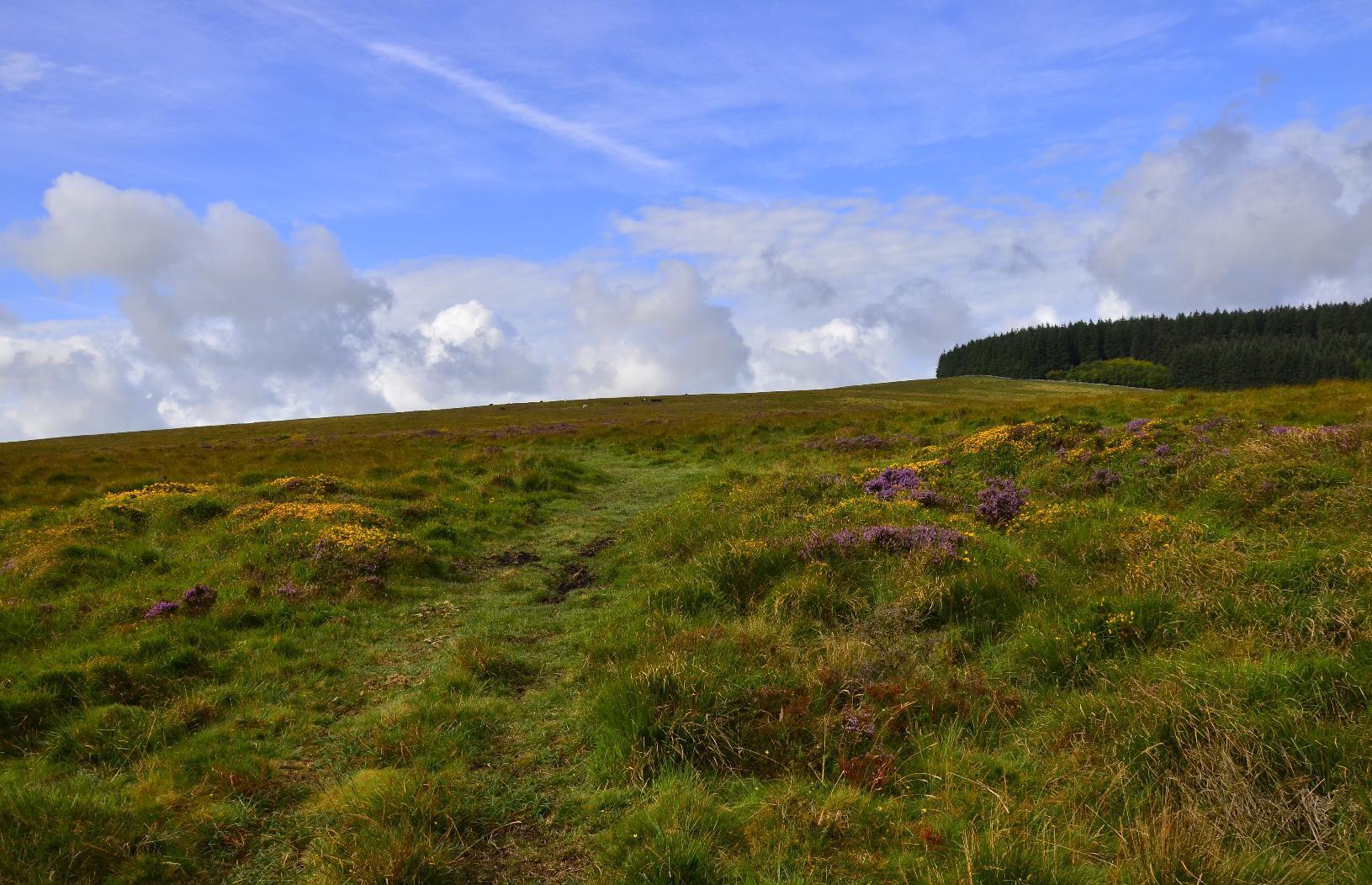
Until you join a #path or #bridleway, you have to negotiate #gorse which, if you're not careful, could easily mean a twisted ankle. However, the wild #flowers are very colourful. You can also see part of #FernworthyForest in the background, which is where we were headed.
Irregular terrain with forest in mid-ground
Gorse and flowers around a bridleway

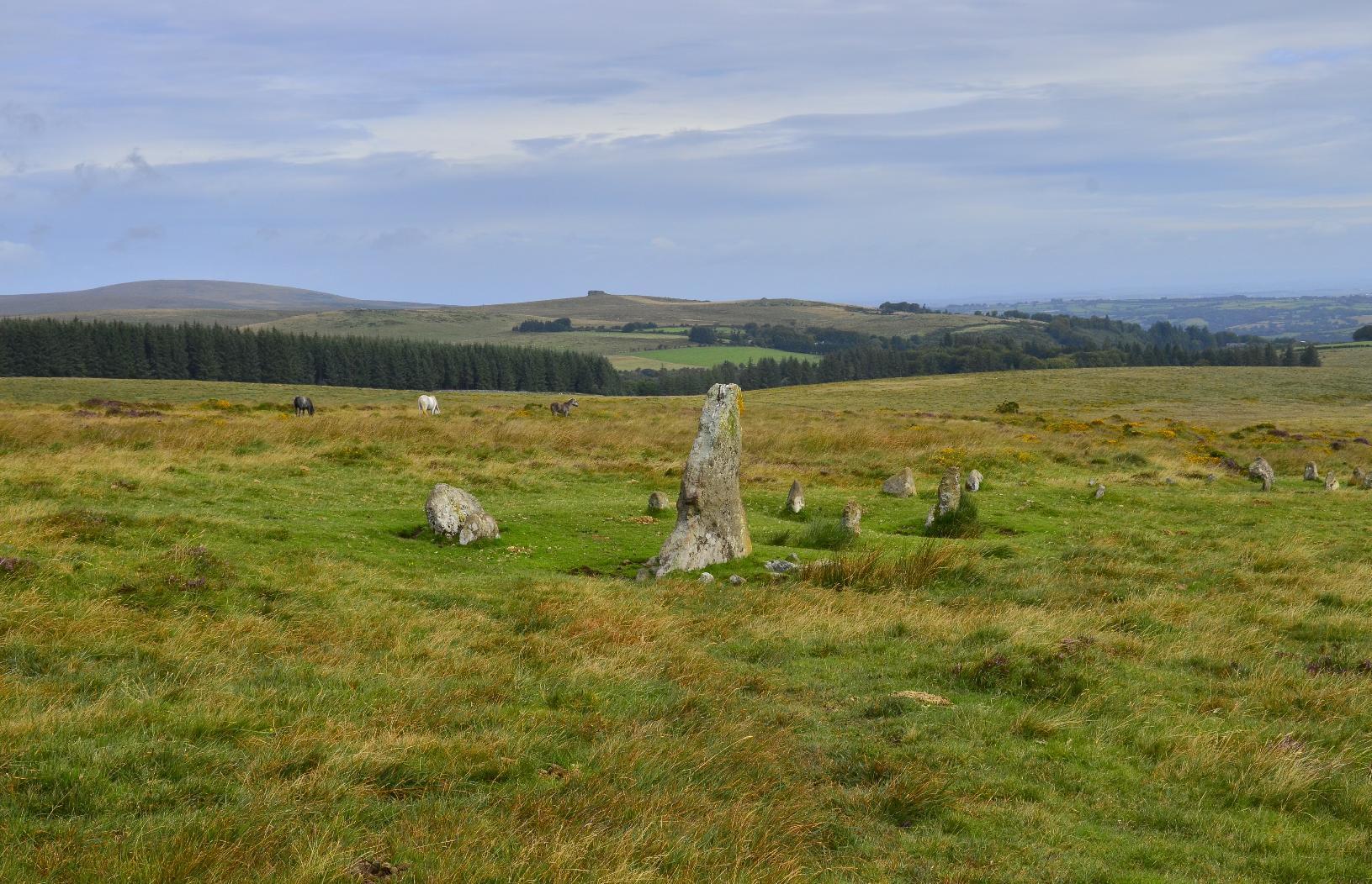
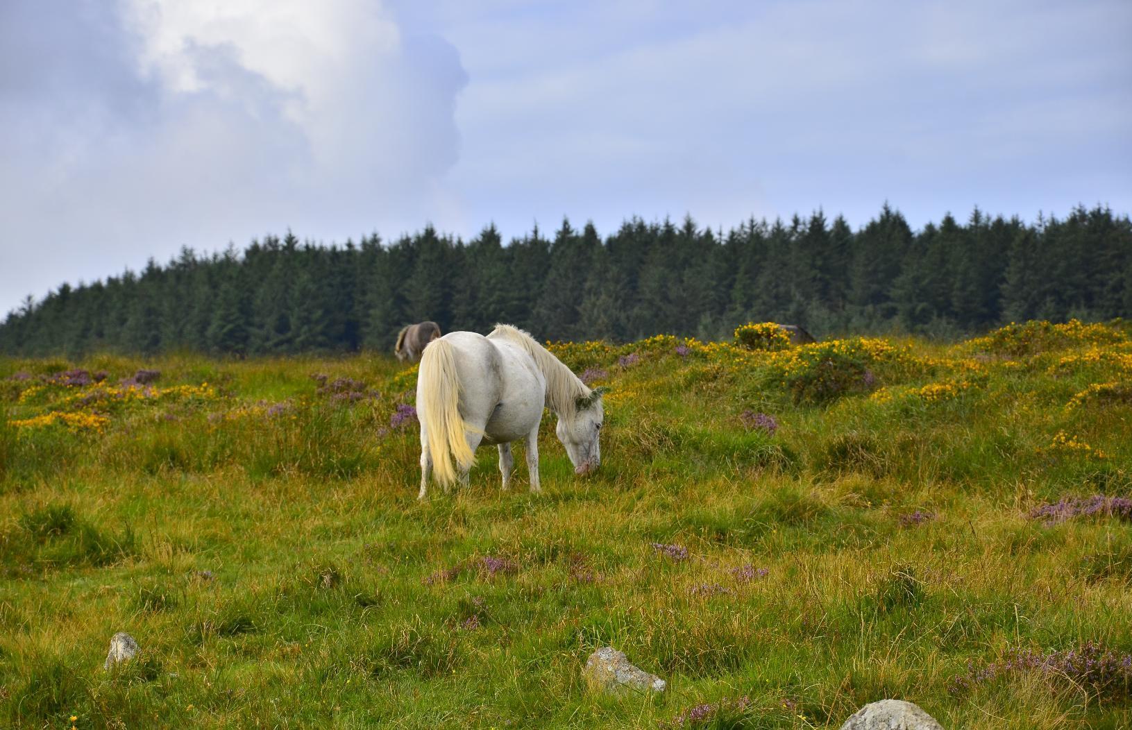
On the way to our first target, there were some #Neolithic artefacts such as these #StandingStones. There are some wild #DartmoorPonies in the background and I took a zoomed-in image of one of the ponies -- it's best not to get too close to them.
Standing Stones
White Dartmoor pony feeding

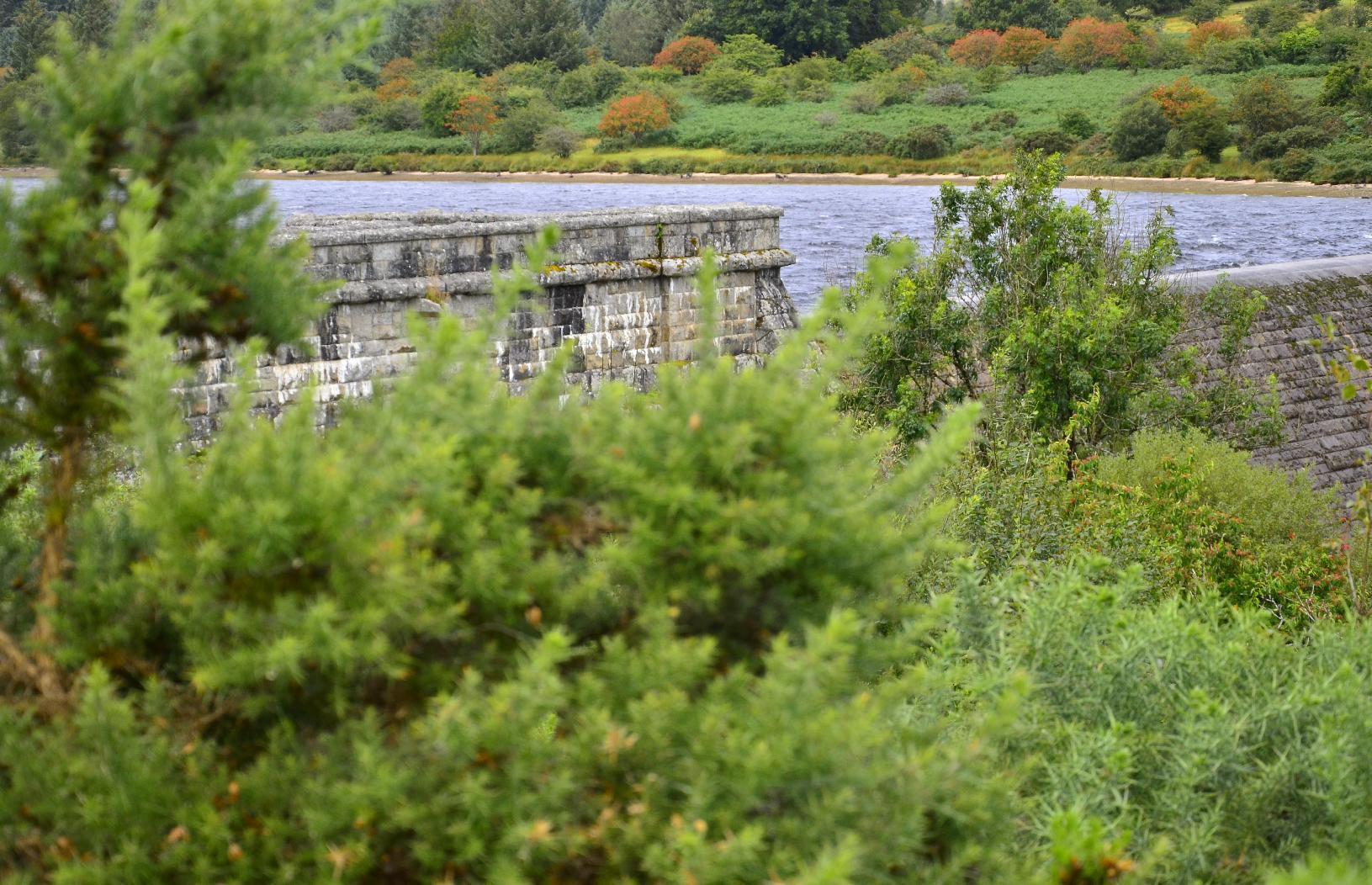
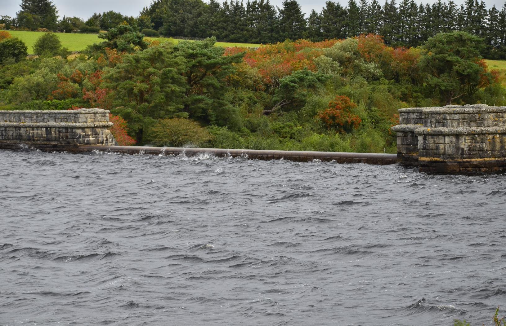
The first destination on the itinerary was #FernworthyReservoir. It has a #MasonryDam, which is not a common form of #Dam, most being concrete or earth (embankment) dams in the #UK. There is a another one in Dartmoor and so I'm guessing there was a trend to build such types at the beginning of the twentieth century, which is when I happen to know the other one was built. Neither the dam nor the #reservoir are very big but they do provide water for nearby populations.
Detail of masonry dam
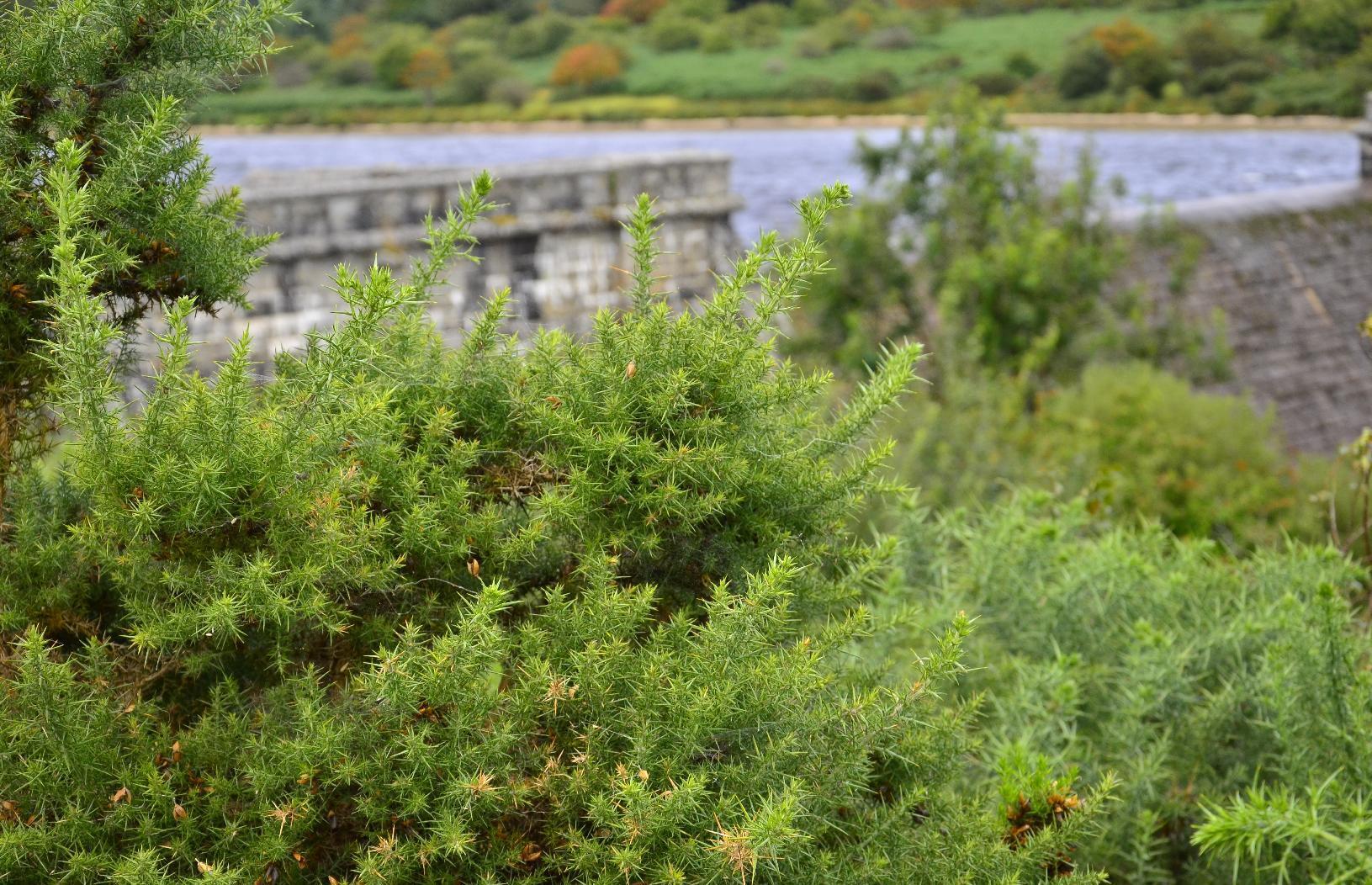
Detail of vegetation in the foreground of dam

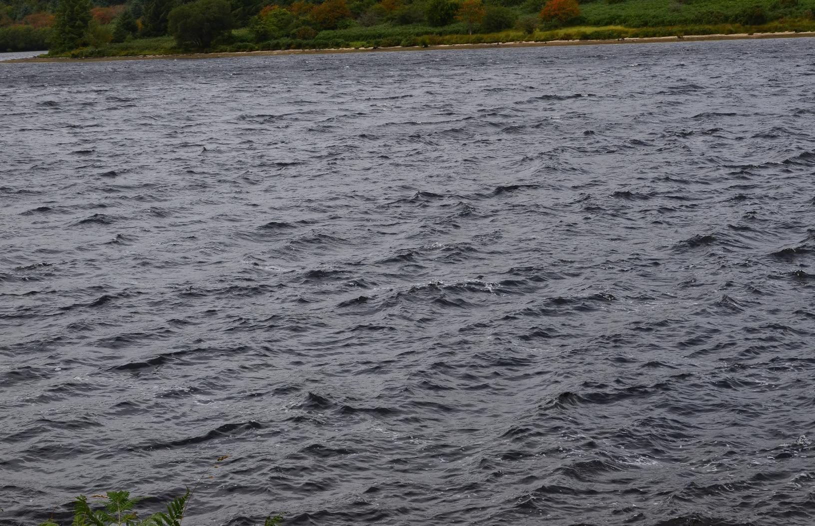
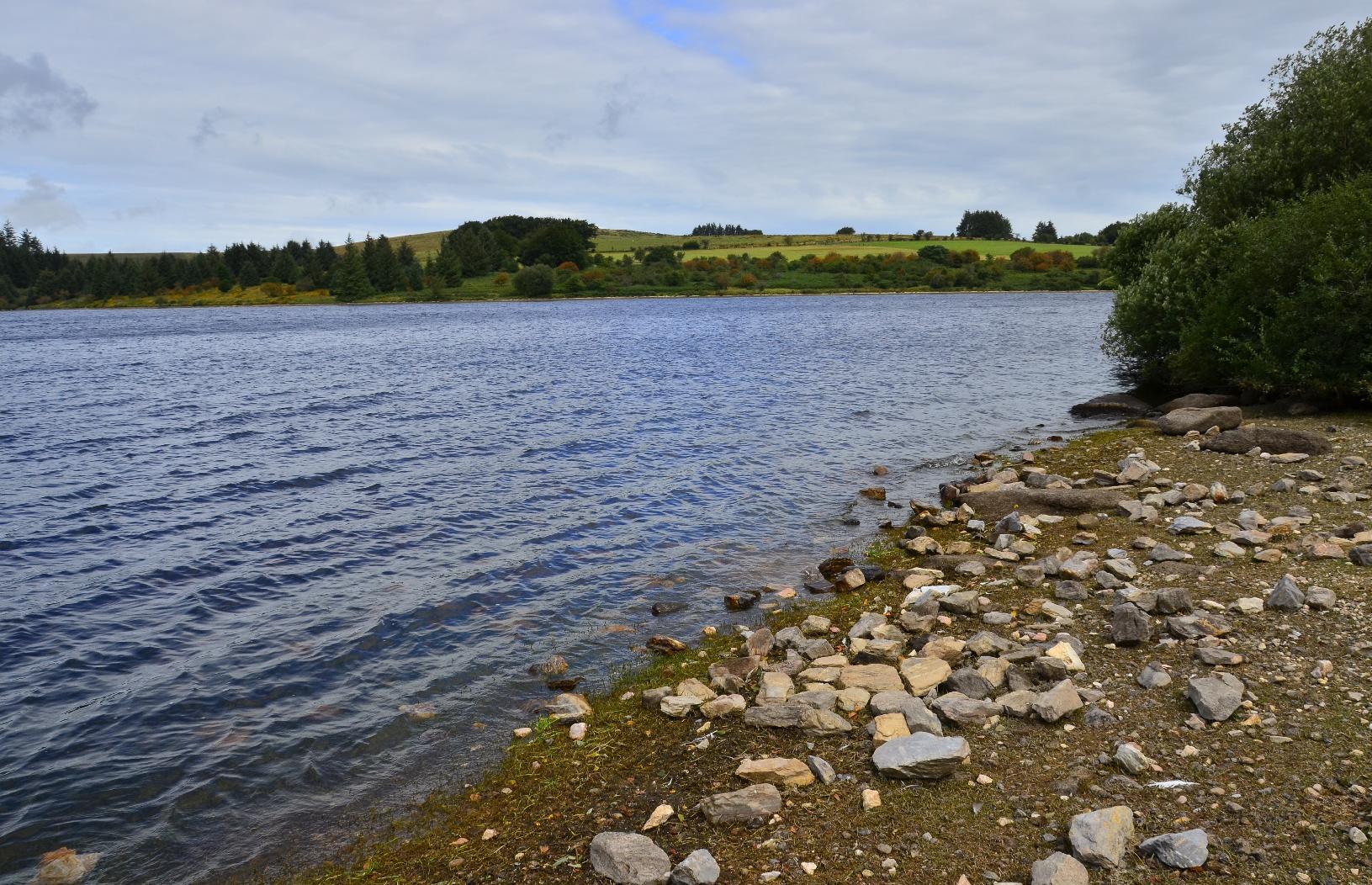
The surface of the reservoir was quite choppy owing to the windy conditions. Also, the level was near the maximum and right up to spillway at the centre of the dam.
Choppy surface of Fernworthy Reservoir
Spillway of Fernworthy Dam
Shore of Fernworthy Reservoir

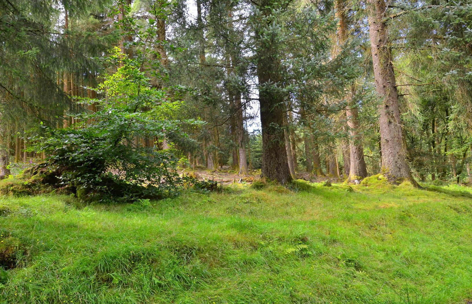
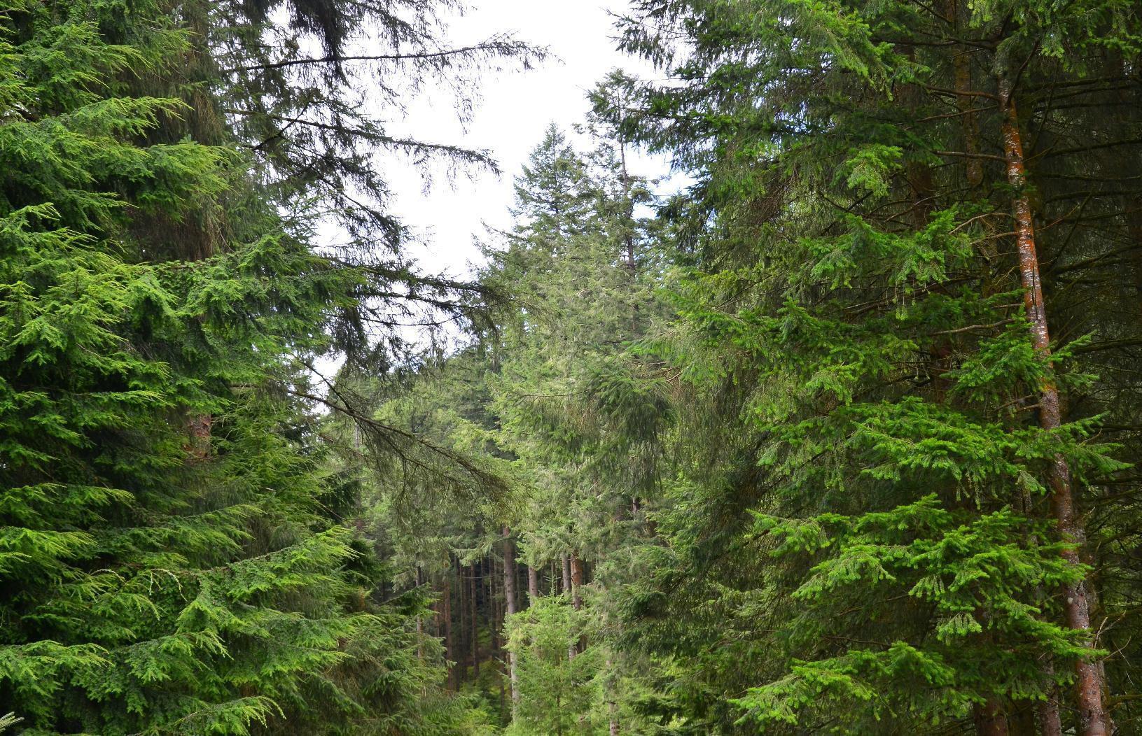
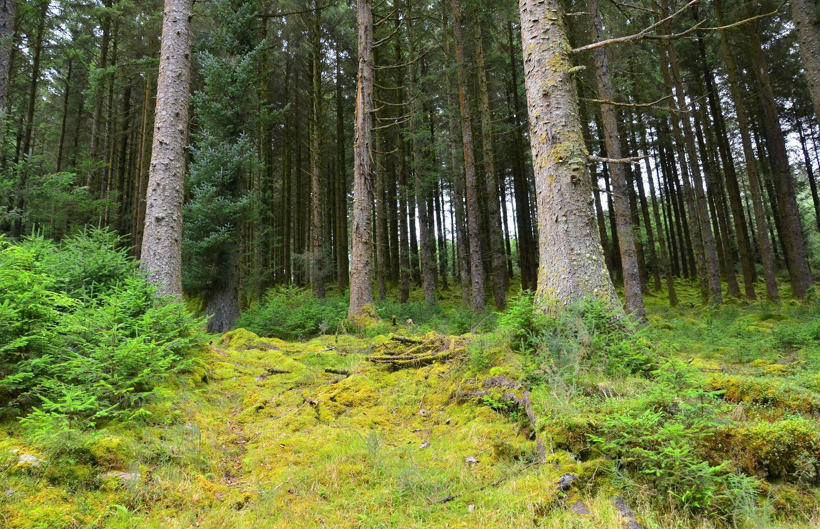
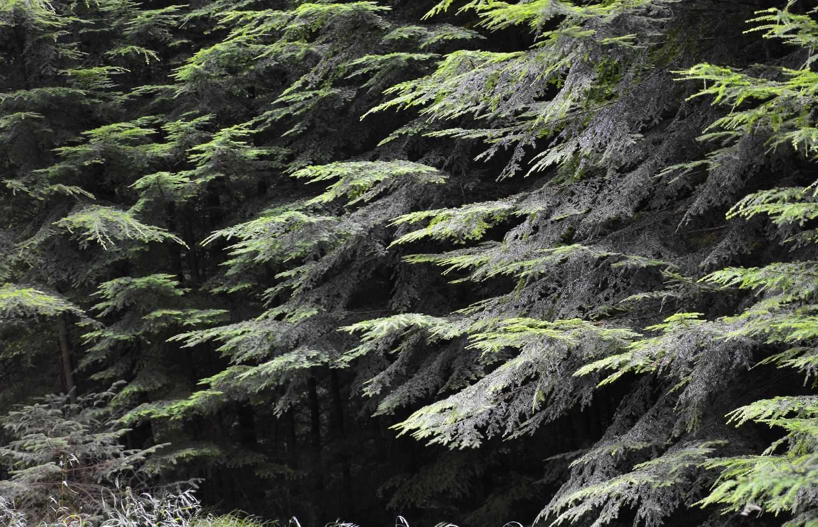
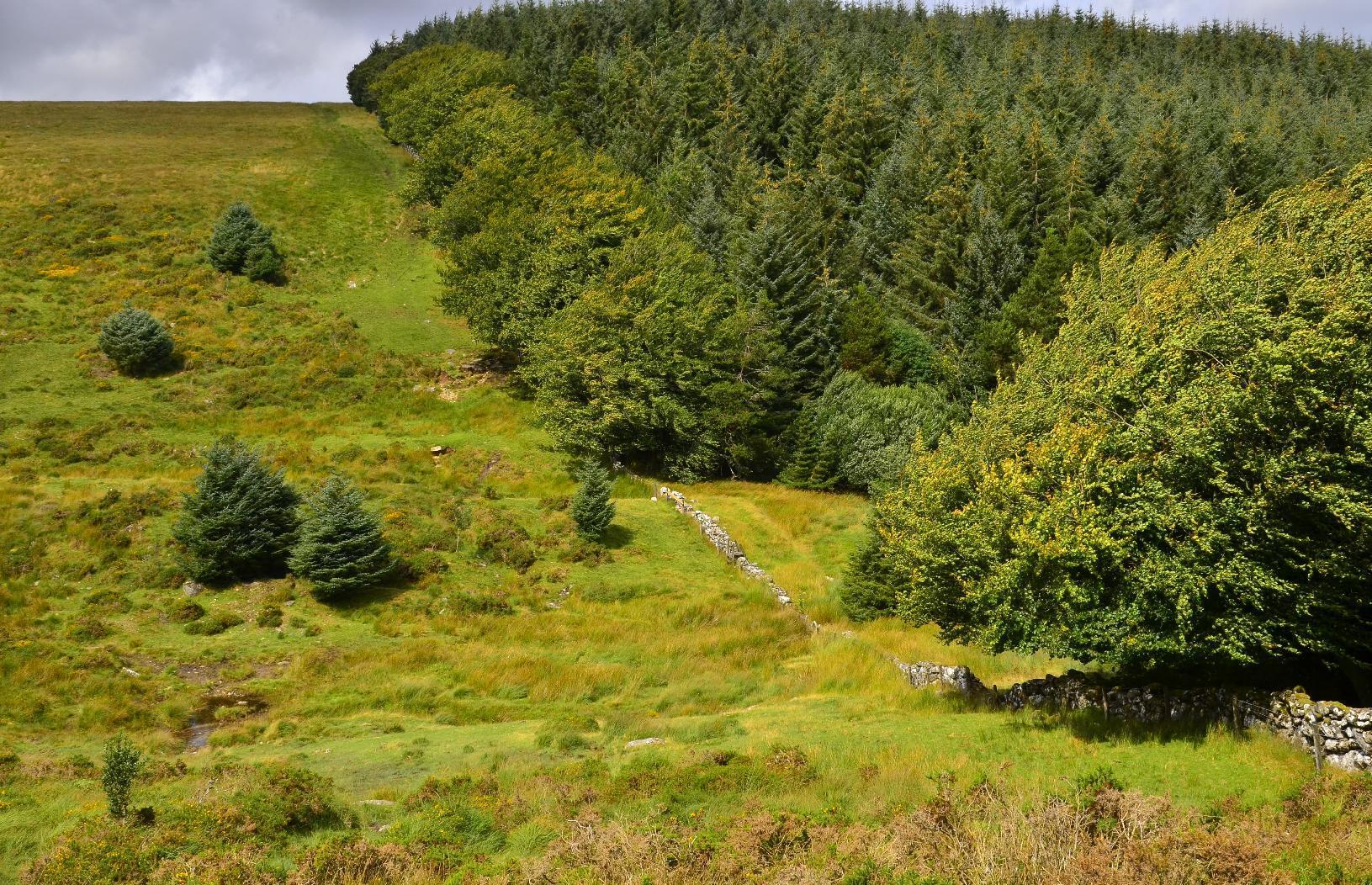
Fernworthy Forest is a #conifer forest, which I think is not natural, rather being there to provide timber. There are many track through it but none are marked and so the only way to find out which way you're going is to use a compass. I was uncertain of my precise location after a while but I knew that if we kept heading in a westerly direction, we'd eventually get to the other side.
Bases of coniferous trees
Tops of coniferous trees
Densely packed trees
Details of tree foliage

Once out of the forest, it was a matter of heading south towards the main road. The weather forecast was spot on and it started to rain right on cue. Once over a rise, eventually we found a bridleway down.
Western edge of Fernworthy Forest
View south

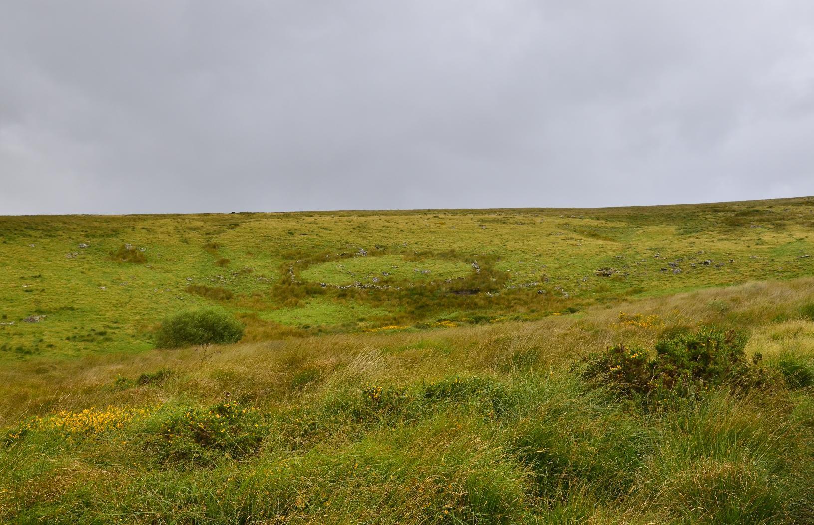
Once we passed this #StoneCircle, I knew we were on the right track as it's marked on the #OSMap. The journey from there was quite straightforward, although still another 5-6 km to go.
Stone circle
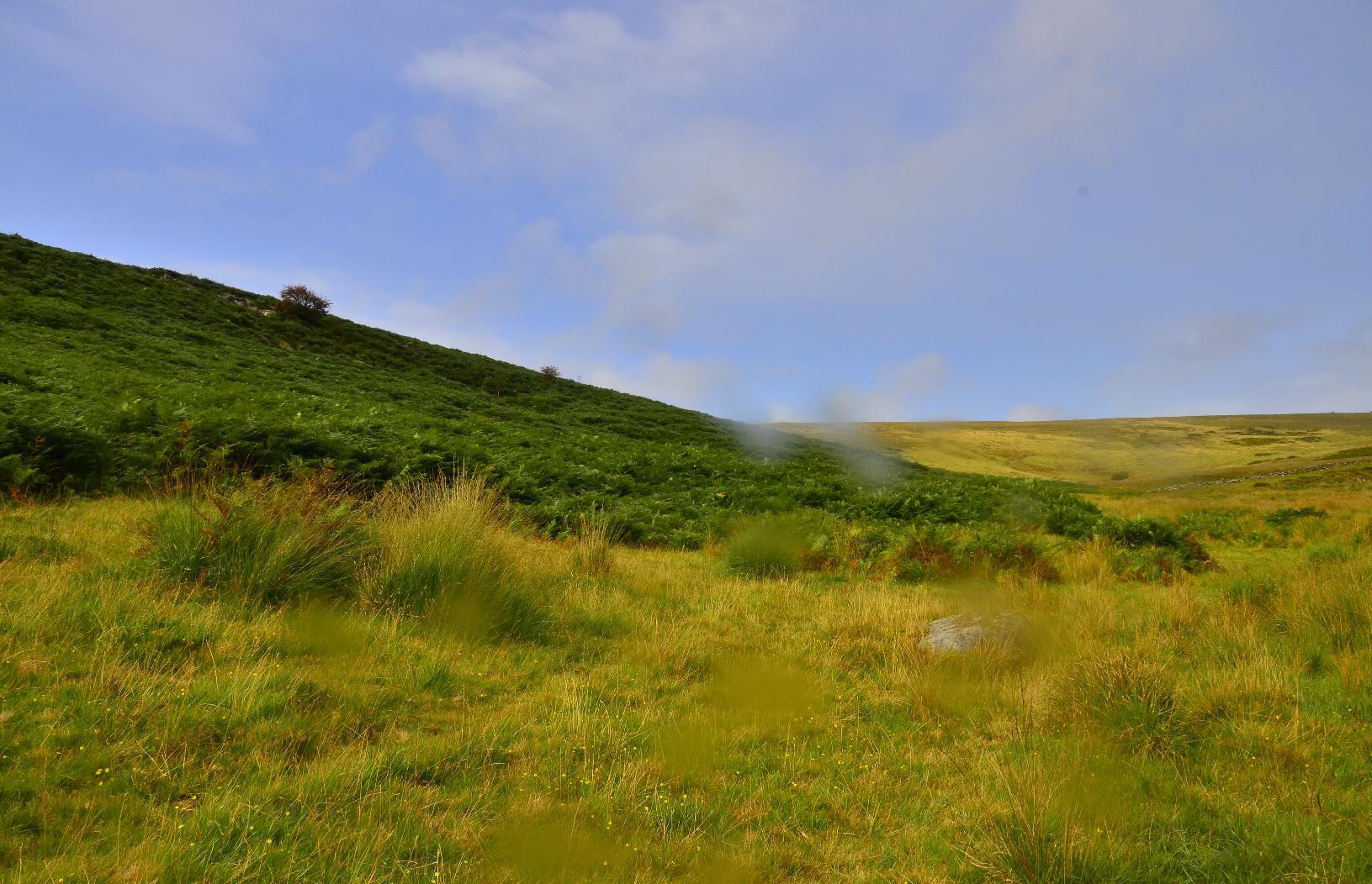
Ferns on valley side

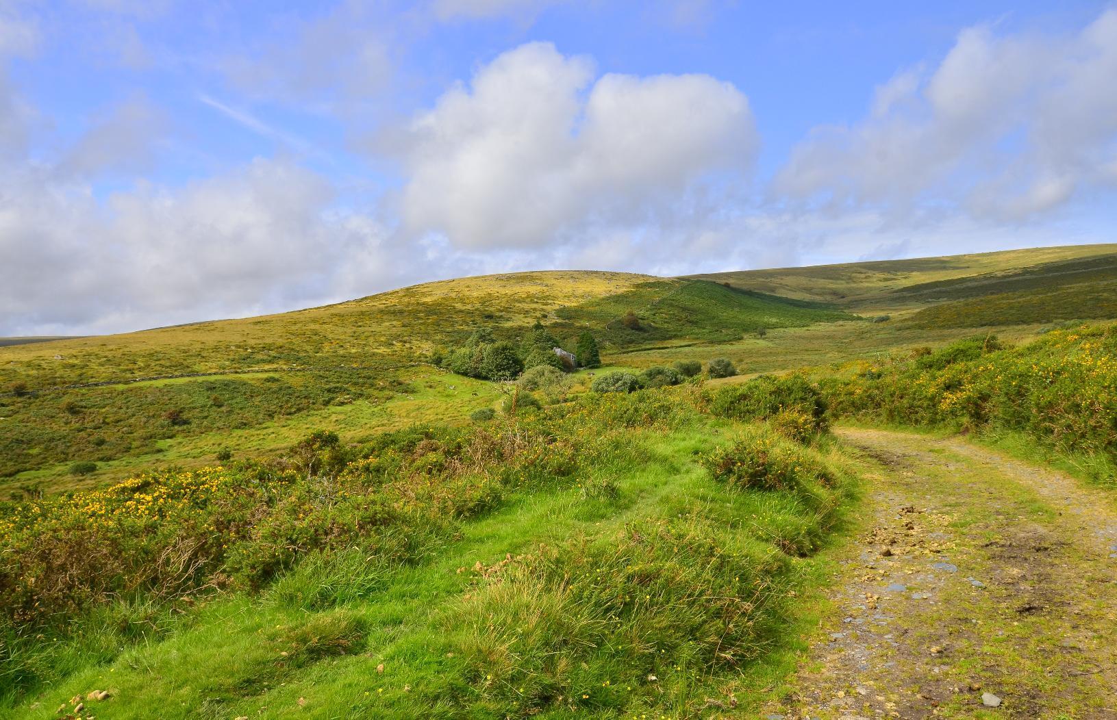
The last leg of the journey was on a main road, without a separate footpath but just before getting onto that, I looked at the path we'd taken and also to the other side of Dartmoor.
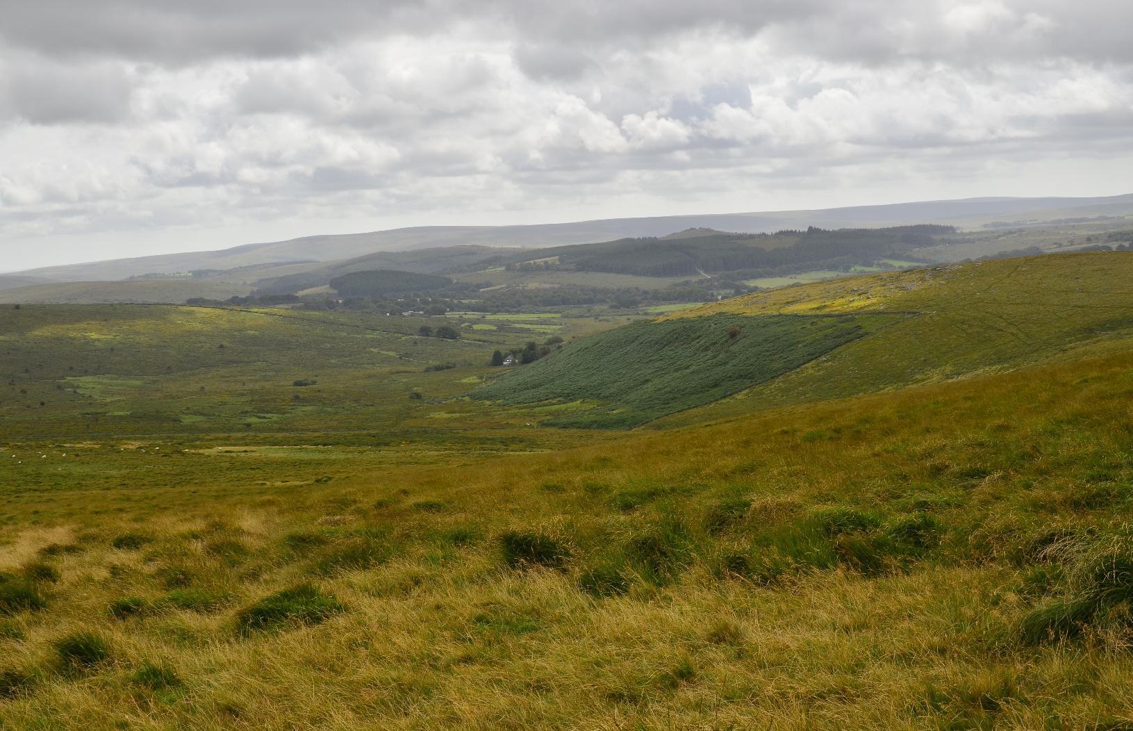
Looking back on the path from the forest
A panorama of Dartmoor

#MyWork #MyPhoto #CCBYSA #DSLR #Nikon #D7000 #Summer #Countryside #Moorland

mkwadee@diasp.eu

Yesterday, we went on a trip to #Penzance in #Cornwall. There is a direct #RailwayLine running from here to #London #Paddington. My local station is about half way along this 6-hour route and I've been on the London leg many time and so I thought it would be nice to go to the end of the line in the other direction. There are lots of #RailwayStations with strange names, like #Lostwithiel and #StErth and so it was nice to pass through them on our way.

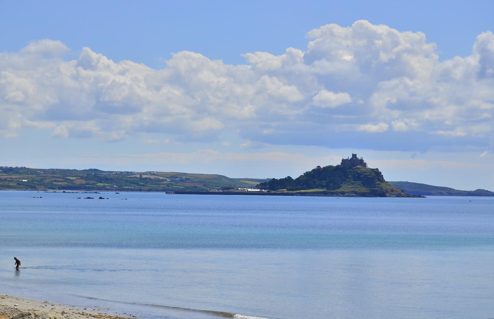
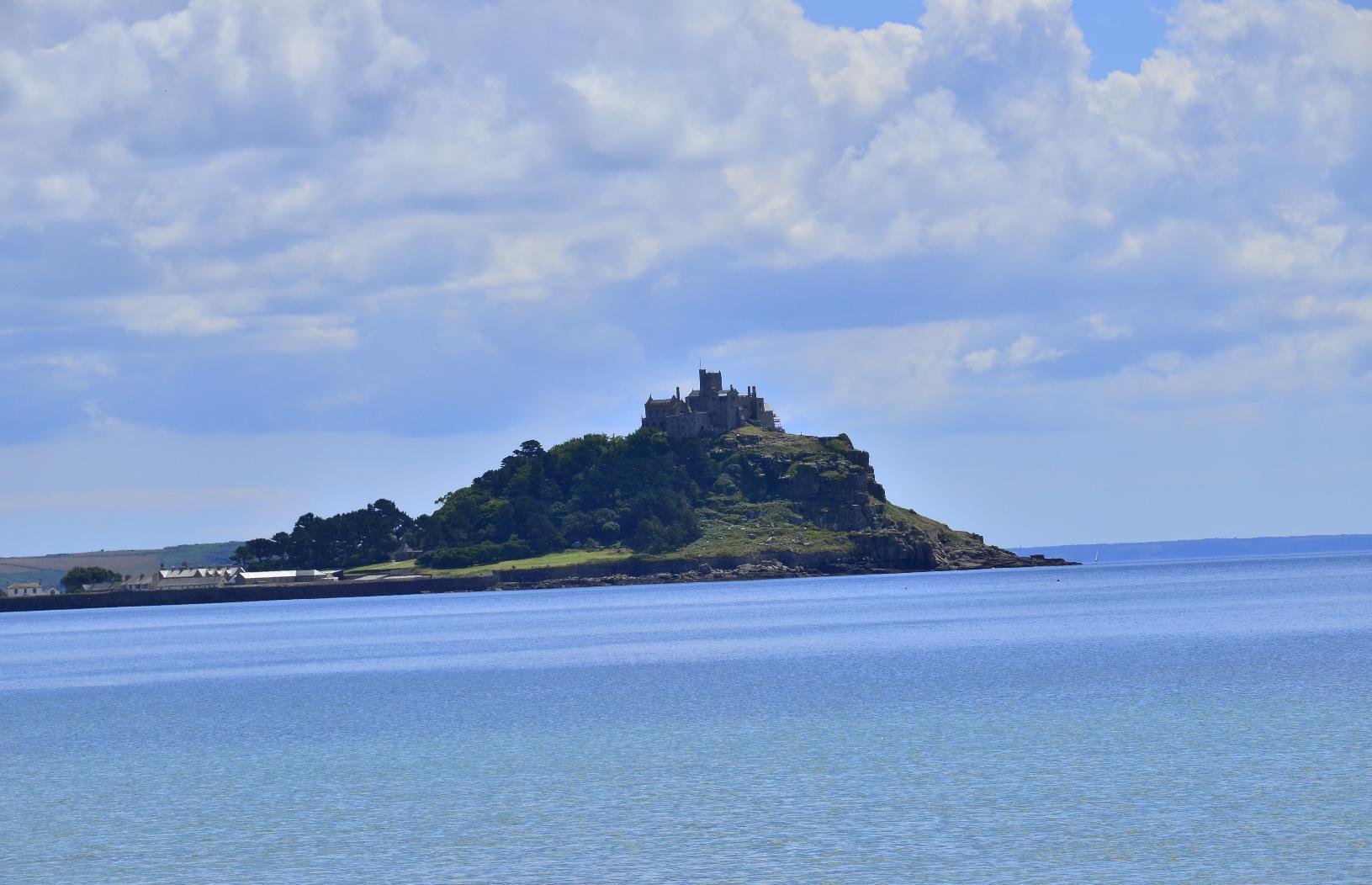
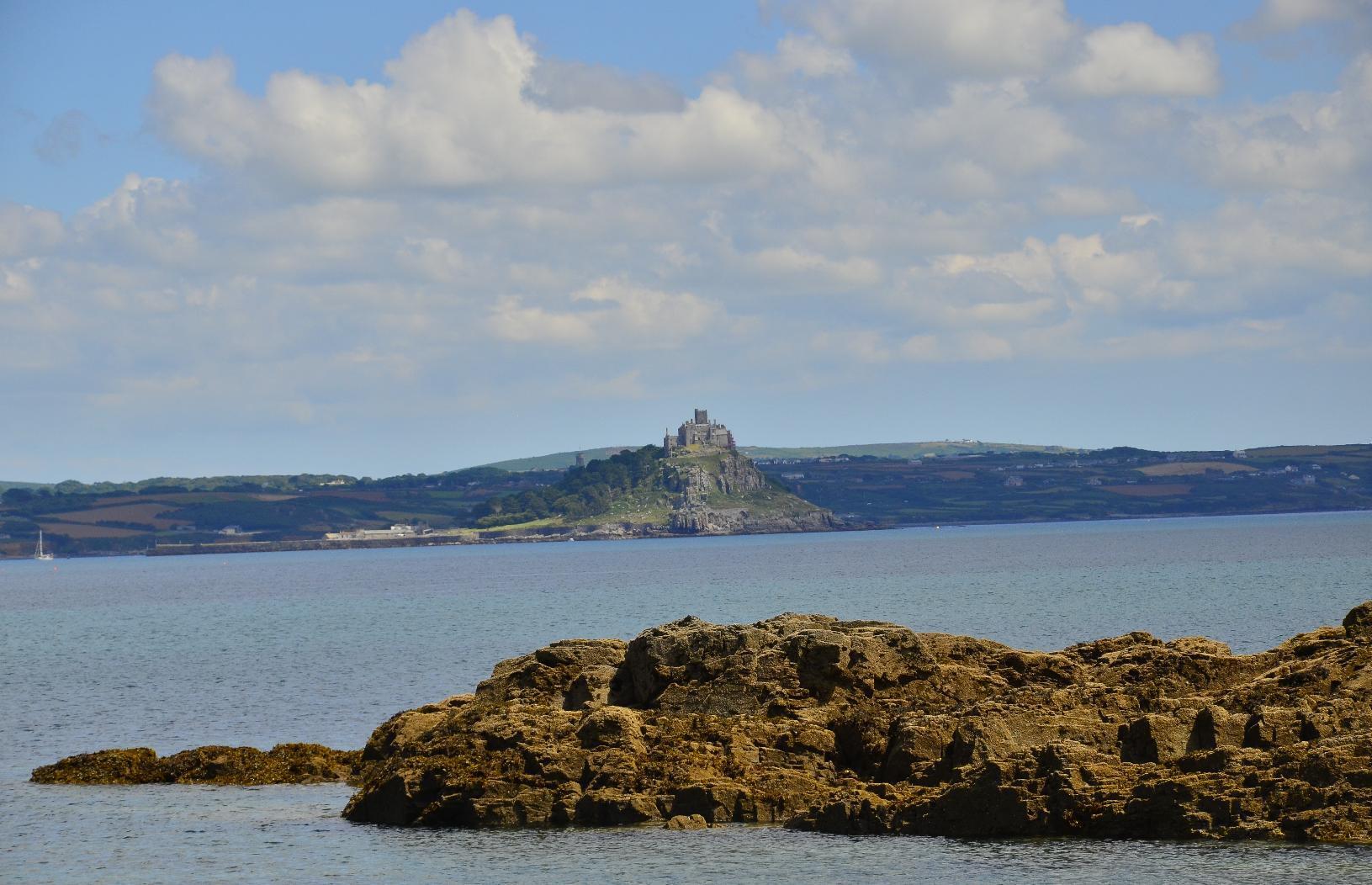
Looking east along the beach, you can see #StMichaelsMount, which is built on a part-time island, in that it is an island when the tide is in but otherwise you can walk to it over a #causeway. We did that a decade ago. Here are a couple of views with a #ZoomLens (I didn't have space to pack my telephoto lens).
Looking east towards St Michael's Mount
Zoomed in image of St Michael's Mount

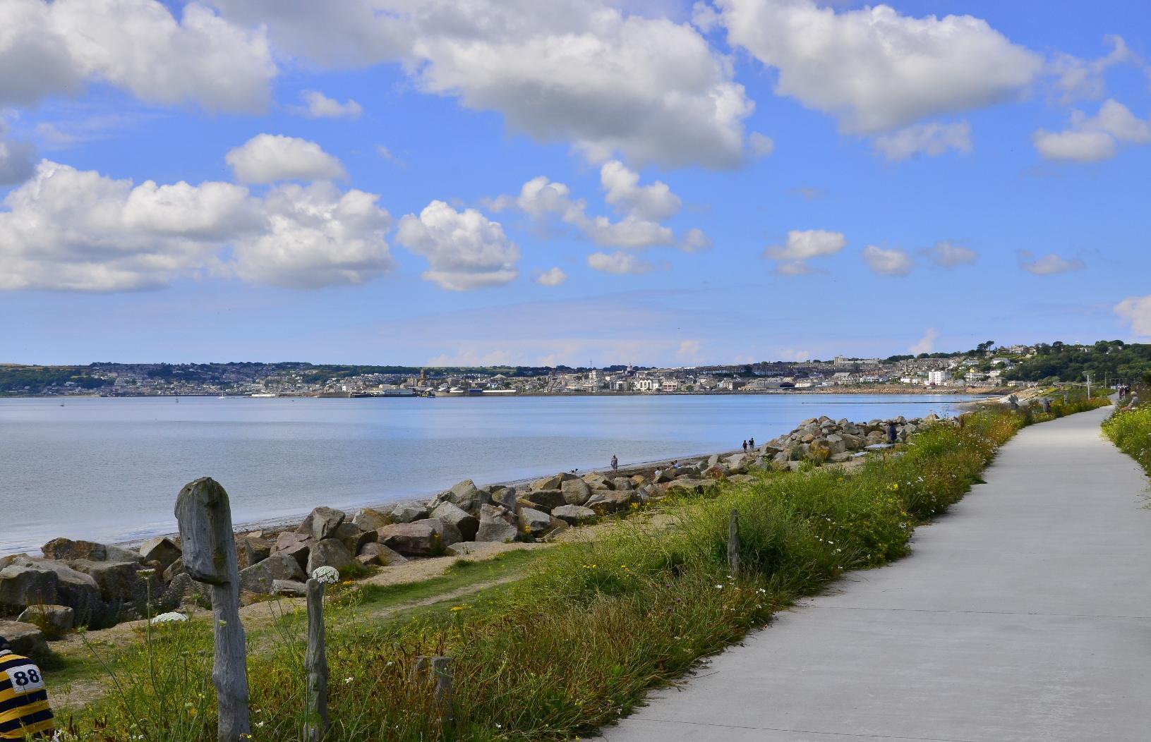
The #town of #Penzance can be seen in the opposite direction.
Penzance seen from Mount's Bay

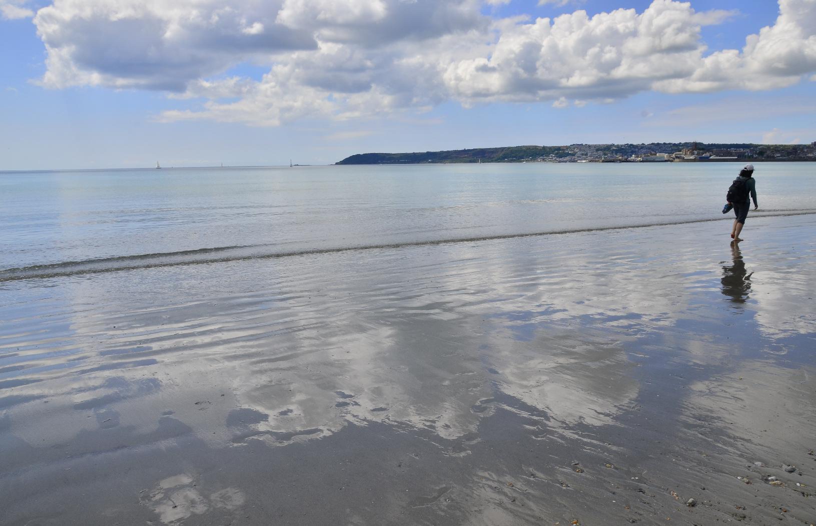
Parts of the #beach have #grey compacted sand. It's firm and yet soft and when wet it forms a shimmering mirror for the sky.
Shimmering reflection of the sky on the beach

From the next #headland, you can get a really good view of St Michael's Mount. I think the light conditions here were better too in the early afternoon.
St Michael's Mount from the next headland

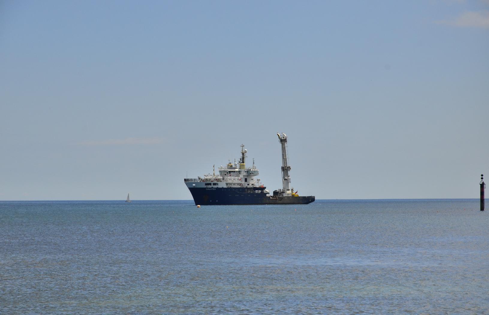
Off the shore, there were several #vessels including this #ship. I'm not sure what its function is but it's certainly for some special purpose.
Ship moored offshore

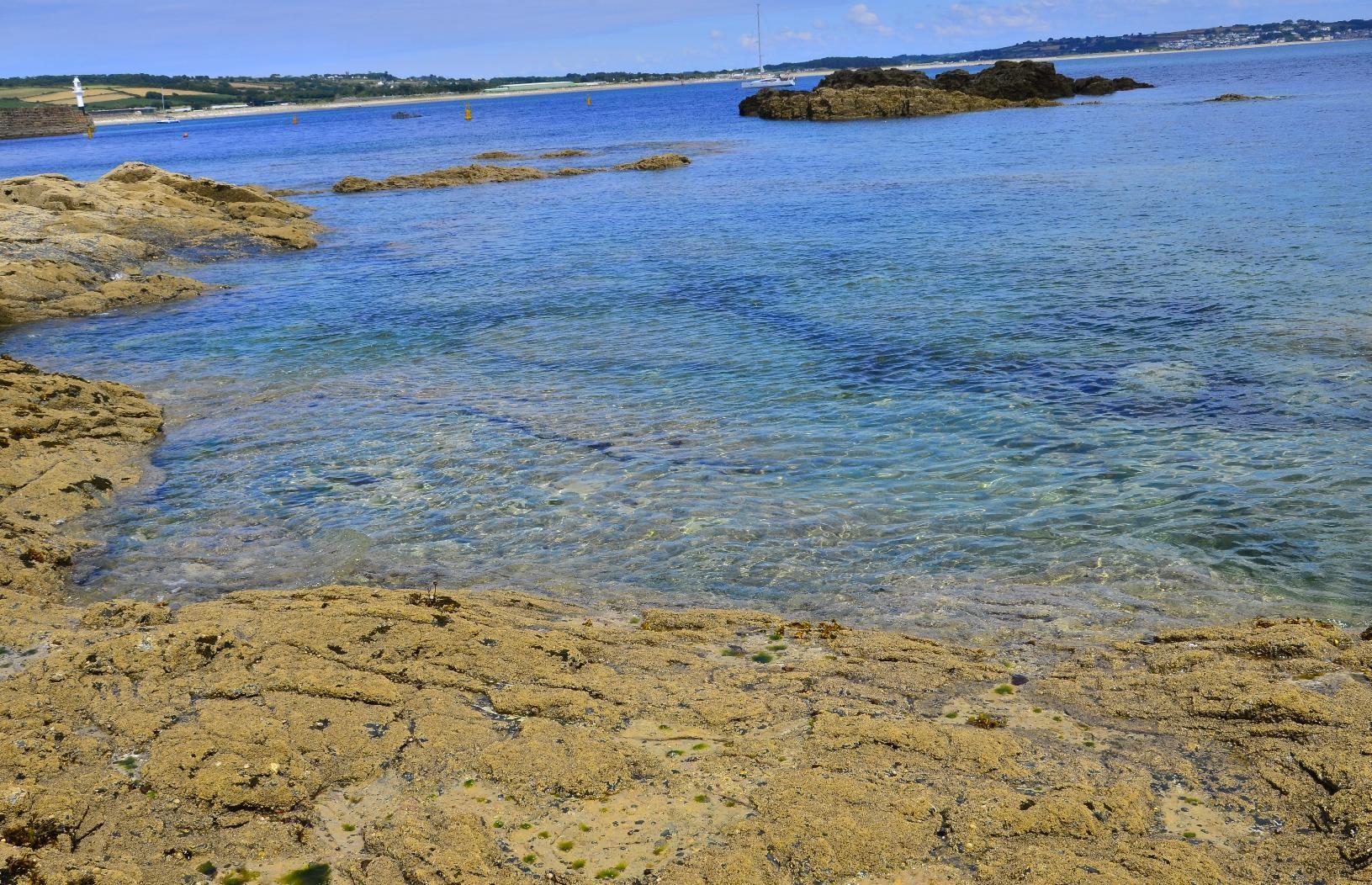
The #sea appeared #blue or #green depending on the underlying geology.
Sea appearing blue and green in patches

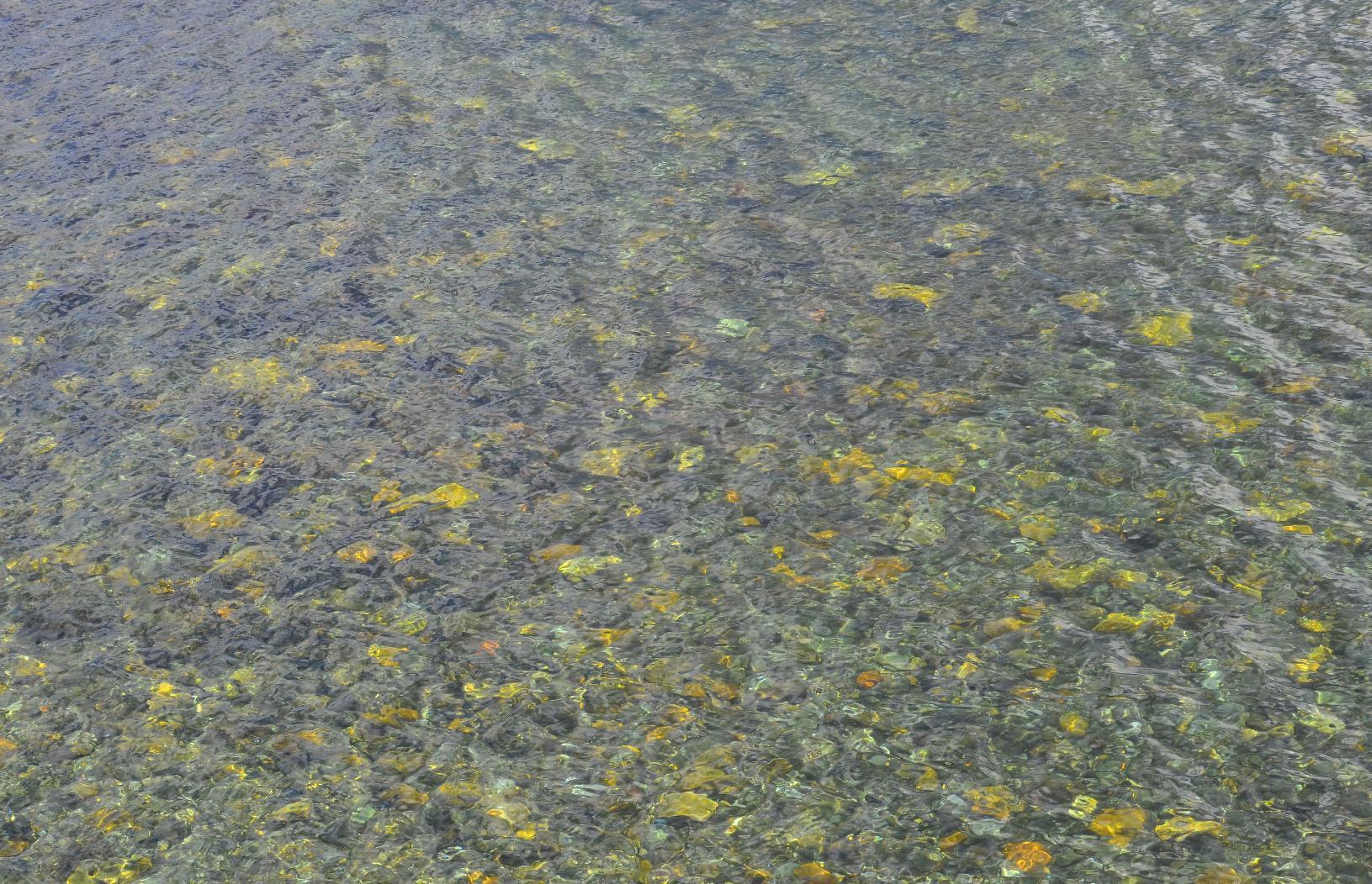
Here. it even has patches of gold colour looking a bit like those pools into which people drop coins.
Calm see and patches underlying yellow rock

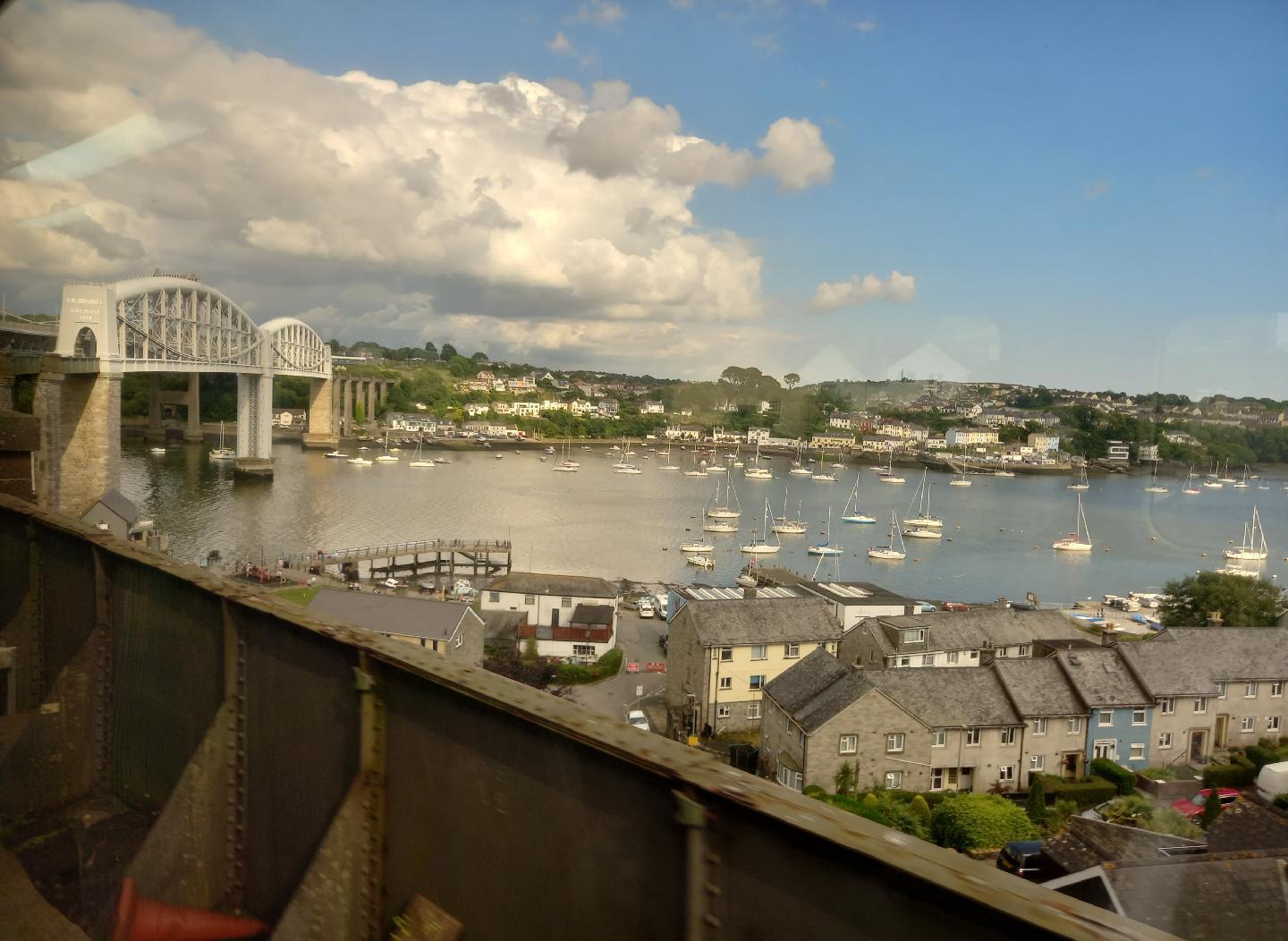
The boundary of #Devon and #Cornwall is marked in the south by the #RiverTamar. Across it, there is an old and historic #RailwayBridge called the #RoyalAlbertBridge, which was built in the mid 1800s by #Engineer #IsambardKingdomBrunel, Here, you can see it on the approach on the #train. This was taken using my #Android phone.
The Royal Albert Bridge linking Devon and Cornwall

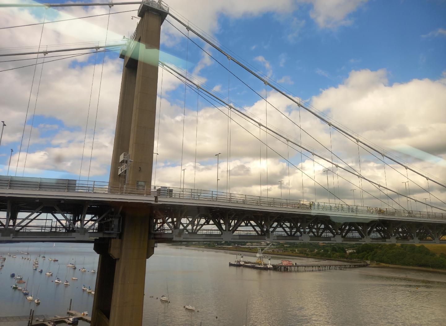
Right next to it is the much more modern #RoadBridge, which is a #SuspensionBridge.
The Tamar Bridge

#MyWork #MyPhoto #CCBYSA #DSLR #Nikon #D7000 #Summer