#geography
#geography #pomernia #beach
Pomerania Beach
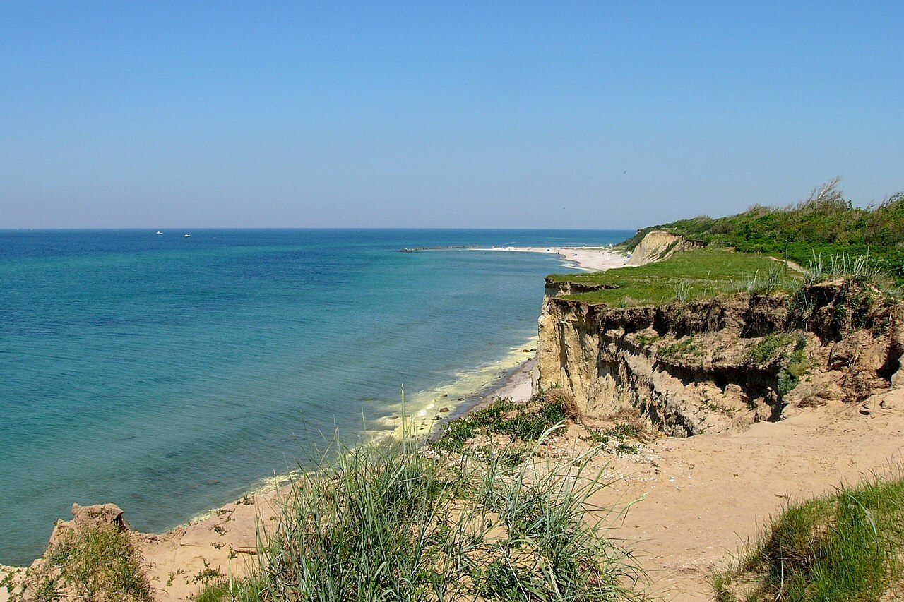
- Steep coast and beach at peninsula Darss West Beach near Ahrenshoop, Mecklenburg-Vorpommern, Germany. Pomerania Beach, as its part of the Pomeranian lands.
#geography #pomerania #germany #poland
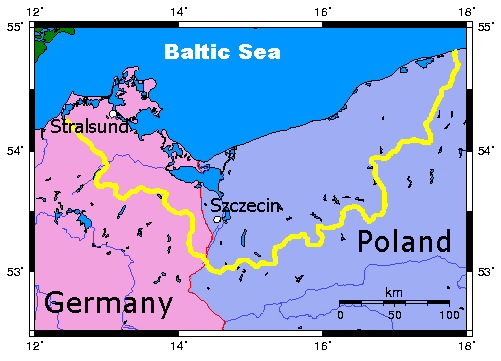
Map of Pomerania. Poland and Germany are seen, Pomerania is marked by a yellow line.
#explorer #nile #geography #history
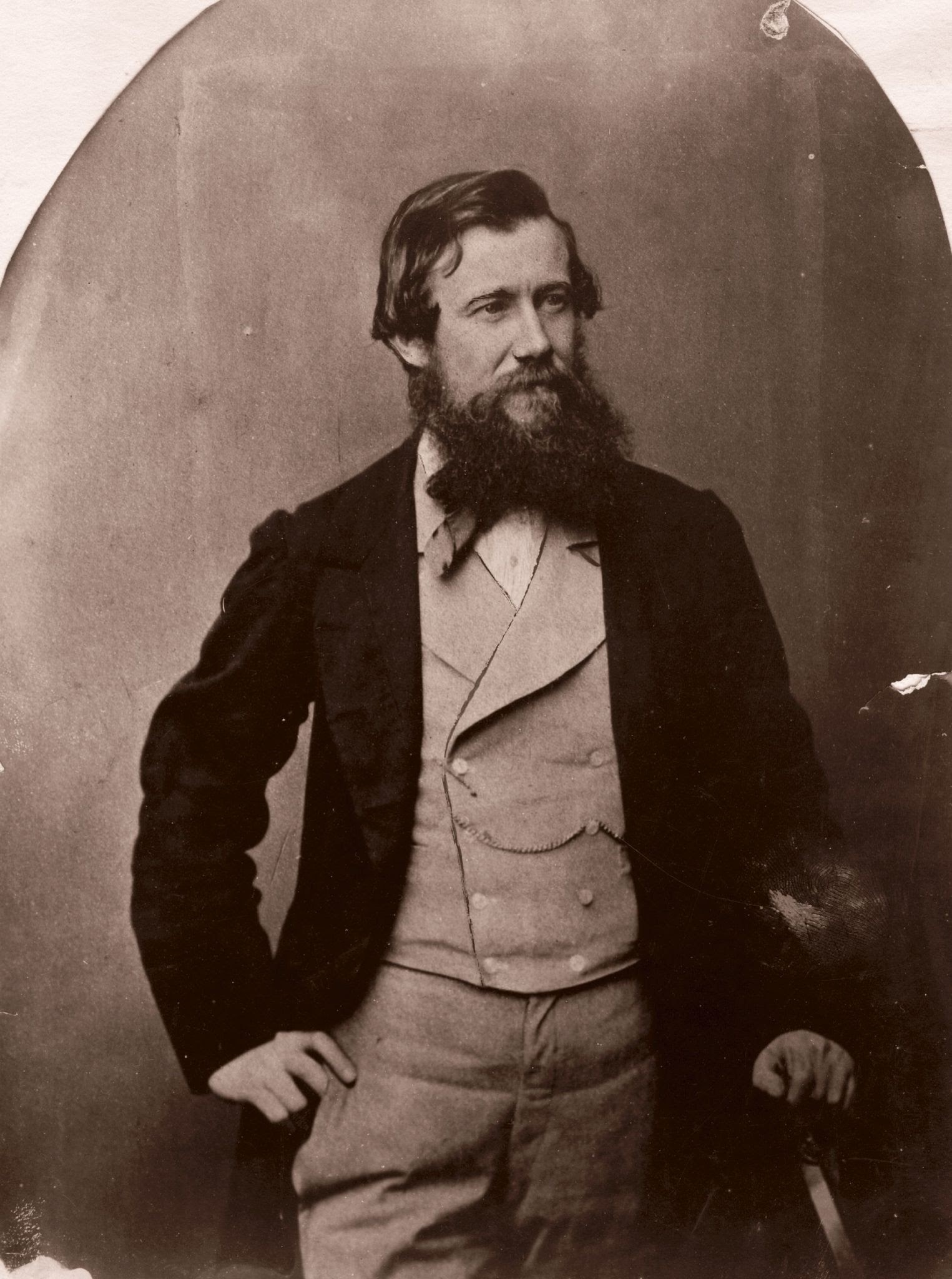
Captain John Hanning Speke (4 May 1827 – 15 September 1864) was an English explorer and military officer who made three exploratory expeditions to Africa. He is most associated with the search for the source of the Nile with Sir Richards Francis Burton and was the first European to reach Lake Victoria (known to locals as Nam Lolwe in Dholuo and Nnalubaale or Ukerewe in Luganda).
#history #british #geography #burton #nile
Internet Archives
-The story of Captain Richard Francis Burton’s and Lt. John Hanning Speke’s expedition to find the source of the Nile river in the name of Queen Victoria’s British Empire. The film tells the story of their meeting, their friendship emerging amidst hardship, and then dissolving after their journey.
MOUNTAINS OF THE MOON
.." and big water"
https://ww16.0123movie.net/movie/mountains-of-the-moon-1630851688.html
Why Isn't Mount Denali a Volcano?
"Alaska has the most volcanoes out of all the US states, but researchers think they don't have enough. Here's the weird science behind looking for Alaska's volcanoes, and what we've learned about volcanism along the way."
Where is the Source of the River Thames?
#BreakfastVideo #RobsLondon #Cotswolds #UK #England #Geography #History
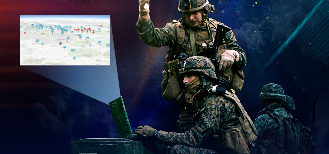
GIS software company ESRI is shutting down internal conversations about whether or not their products are being used by the Israel Defense Forces - from an employee
EDITORIAL NOTE: Further reason to use FOSS4G? This report is uncorroborated, but seems to square with Environmental Systems Research Institute Inc's policies.
Throwaway account--trying to post in a few subs because I think this is important.
For those who don't know, ESRI creates Geographic Information Systems software. This software is used for making maps and spatial analysis, among other things. If you work in GIS, or use maps, you've probably used this software. Now for the important part.
On Monday, December 11, 2023, an employee posted in the HR Teams channel to ask the question: "Is the Israeli Defense Force (IDF) using ArcGIS to help with the current bombings in Gaza?" The employee went on to explain that they had reached out to HR with this question and was told that "the specific information you are requesting is not going to be supplied to you. We would need permission from a distributor or customer to provide specific information about products sold or used and we don't have said permission."
The employee went on to explain that they thought it was important for ESRI employees to know this information. The employee also inquired if others were concerned and wanted answers. The employee also pointed out that ESRI had taken a political stand previously with regard to Ukraine and Russia and provided a screenshot of an official ESRI statement that said: "Esri stands in solidarity with Ukraine and the Ukrainian people. Our software is not and will not be deployed in any military or intel organization in Russia. Esri distributor CIS is curtailing sales in Russia. We are actively supporting the humanitarian efforts in Ukraine, and we continue to work with many European countries, as well as NATO, the United Nations, and the US State Department. Esri will do everything we can to help Ukraine and its people."
The post garnered a lot of attention and support from other employees. Several responded that they were concerned that ESRI is providing software for a genocide. The specific word "genocide" was used a few times. There was one dissenting comment.
On Wednesday, December 20, 2023, another employee commented on the thread to say that the original poster had resigned on Friday, December 15, 2023, due to "lack of answers from the administration."
Later that day, an email was sent out about a new policy with regard to the digital environment and appropriate business conduct.
Today, December 21, 2023, the entire thread and all of the responses were deleted, presumably by HR, since they manage the channel. An HR team member replied and said that "there were many posts involving sensitive topics and comments that were not appropriate for a business setting. I have received numerous inquiries and employees stating that they feel uncomfortable with the messaging and tone in these posts." Meanwhile, a separate post in the same channel, made on October 15, 2023, titled "Condemning the terrorist attacks in Israel" stayed up. It would seem that ESRI is not concerned with the discomfort of their Palestinian employees.
I am an ESRI employee and I am furious. ESRI talks about their commitment to making the world a better place while shutting down conversations by their employees about genocide. I don't think it's a secret that ESRI operates this way, but I wanted to share what's happening on the inside. Many of us are angry and we won't be silenced.
#Shaban1445 #GIS #Israel #ArcGIS #war #antiwar #technology #Gaza #Palestine #warcrimes #genocide #Esri #BDS #OSM #FOSS4G #openstreetmap #opensource #ethics #corporateethics #politics #ukraine #russia #rothschildistan #map #mapping #countermapping #cartography #geospatial #geography
#military #militarytechnology #QGIS #GRASSGIS #IDF #IOF
@Tina - original post
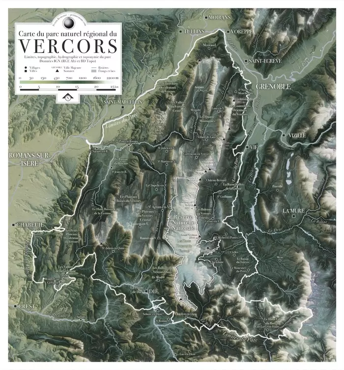
- Carte du parc naturel régional du Vercors. Limites, topographie, hydrographie, et toponymie du parc. Donénes IGN (RGE Alti et BD Topo).
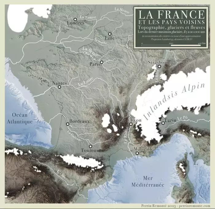
- Topographie, glaciers et fleuves lors du dernier maximum glaciaire, il y a 20 000 ans. La France et les pays voisins. La reconstitution des rivières est issue d'une approximation. Projection Lambert 93, données GEBCO.
Voir un peu plus des magnifiques cartes de Perrin Remonté ?... C'est ici.
(également auteur de magnifiques photos). (un blog à éplucher de fond en comble).
According to Bible & Quoran there is no Christian or Muslim in America, becoz Columbus fell off the edge of Earth
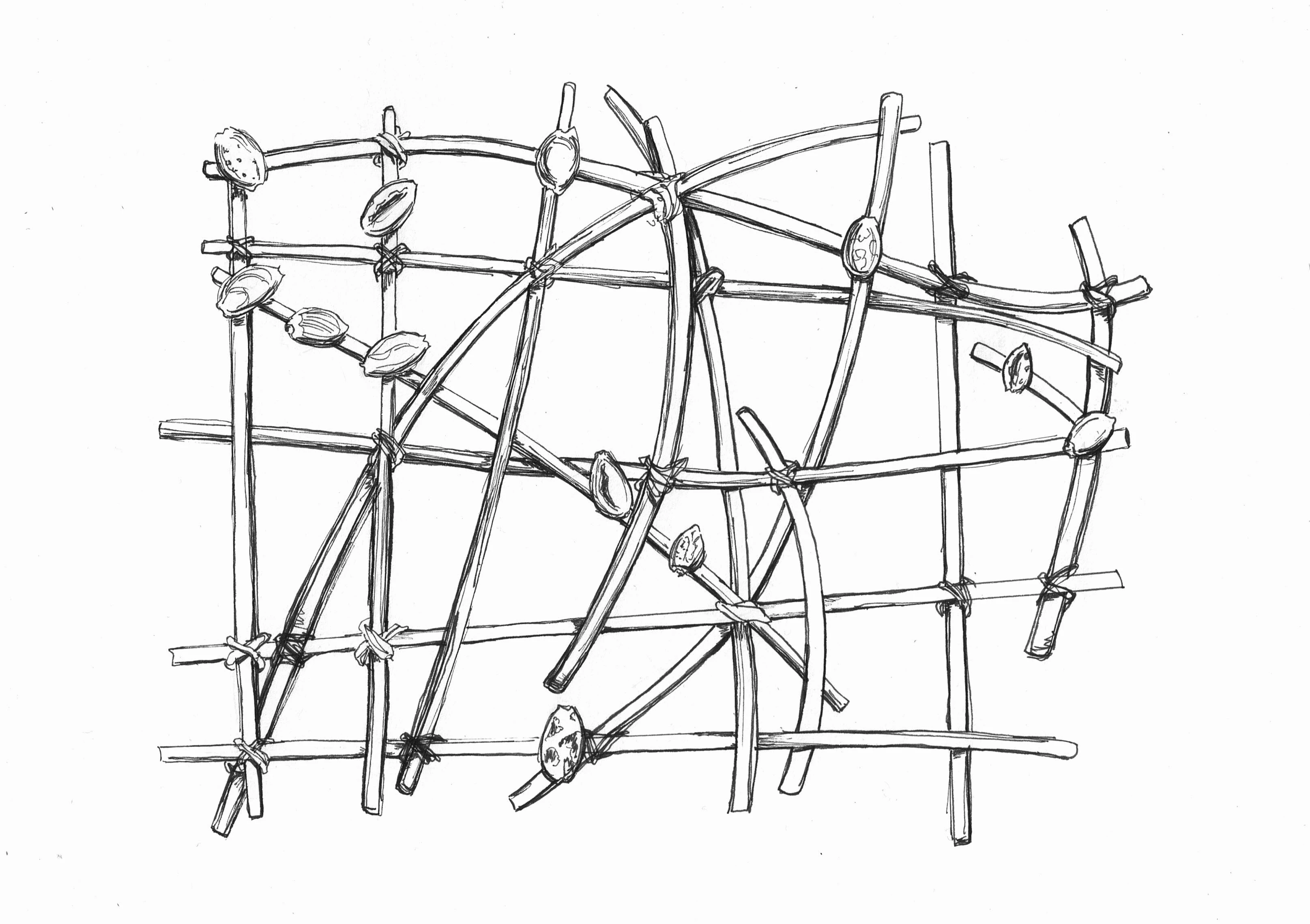
Carte
« Une carte n’est pas le territoire », a dit Alfred Korzybski
Les civilisations inventent leur propre représentation du Monde. Support d’apprentissage de la navigation, les cartes à bâtonnets polynésiennes permettaient aux piroguiers de mémoriser les courants marins et les îles (représentées par les coquillages). Celle que j’ai dessiné s’en inspire, même si elle est totalement fantaisiste. Une navigateur océanien la trouverait probablement absurde, si tant est qu’il y ait encore de nos jours des gens qui sachent lire ce type de carte.
Et pourtant, en la dessinant, j’eus l’impression un moment de me perdre doucement dans le clapotement paisible des vagues, le chant envoûtant des piroguiers…
« Ho-e a-na… Ho-e a-na... »
#carte #carteàbâtonnets #map #stickmap #stickchart #polynésie #polynesia #Oceania #Pacific #géographie #geography #cartographie #cartography #geografia #cartographia #géo #carto #inktober #inktober2023 #dessin #drawing #gribouillage #art #amateur #mywork #d3 #enjomineur
Brits, watch this.
https://www.youtube.com/watch?v=vy7lFjh7PSE
#dannydorling #shatterednation
#inequality #geography #failingstate
"50 years ago [1973] Britain was the second most equal large country in western Europe.
Now it is the second most unequal country in the WHOLE of Europe,
with the highest foodbank use, the highest university fees, the least affordable housing, and a life expectancy falling since 2014"
" #austerity " [ps #averybritishgenocide ]
worth watching for the rest of the picture given, and the positive possibilities beyond the delusion.
#statistics #uk #equality #precarity #facethehorror #wecanstillmendthis
The American Geographical Society on Twitter: "Meet the American Geographical Society's Barbie World Office! #ItsABarbieWorld #Geography #GeographerBarbie #BarbieMovie https://t.co/n6rb8Vt3cm" / Twitter https://twitter.com/AmericanGeo/status/1682457539827453960
This is cool
Meet the American Geographical Society's Barbie World Office! #ItsABarbieWorld #Geography #GeographerBarbie #BarbieMovie pic.twitter.com/n6rb8Vt3cm
— The American Geographical Society (@AmericanGeo) July 21, 2023
Voir les défunts à Jakarta
Fantômes, espace et temps article de Jérôme Tadié
Seeing ghosts in Jakarta: the deceased, memory and the urban environment
#geography of #ghosts #gamelan #indonesia
Chasing the fantoms by Déjà Alit
Ritual music by Bali Gamelle Sound
Pour accompagner cet article, partage de deux ensembles de Gamelle, le premier plus singulier et contemporain, le second plus classique.
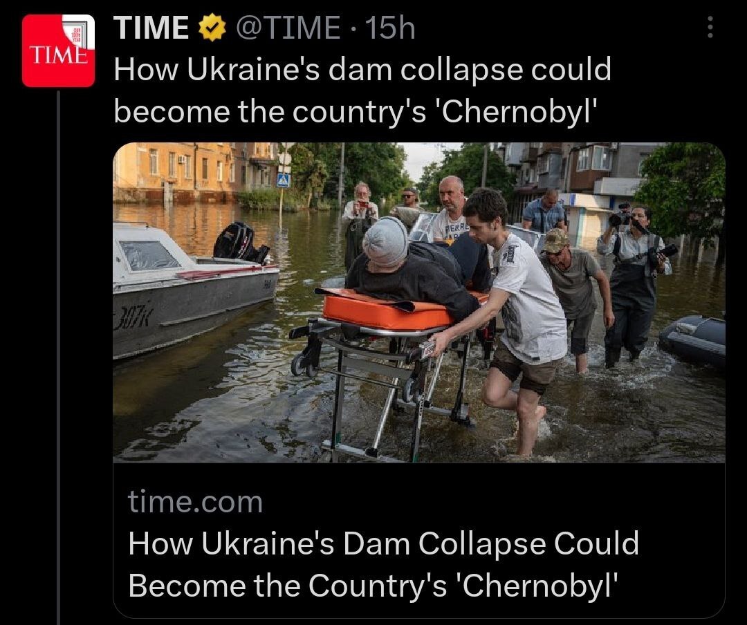
#Geography is hard!
This is really pathetic!
Doesn't people at Time magazine know that #Chernobyl is in #Ukraine?
WTAF.
Why 99.7% of Mongolia is Completely Empty
#Mongolia #LunchtimeVideo #History #Geography #CurrentEvents #Geopolitics #Russia #China
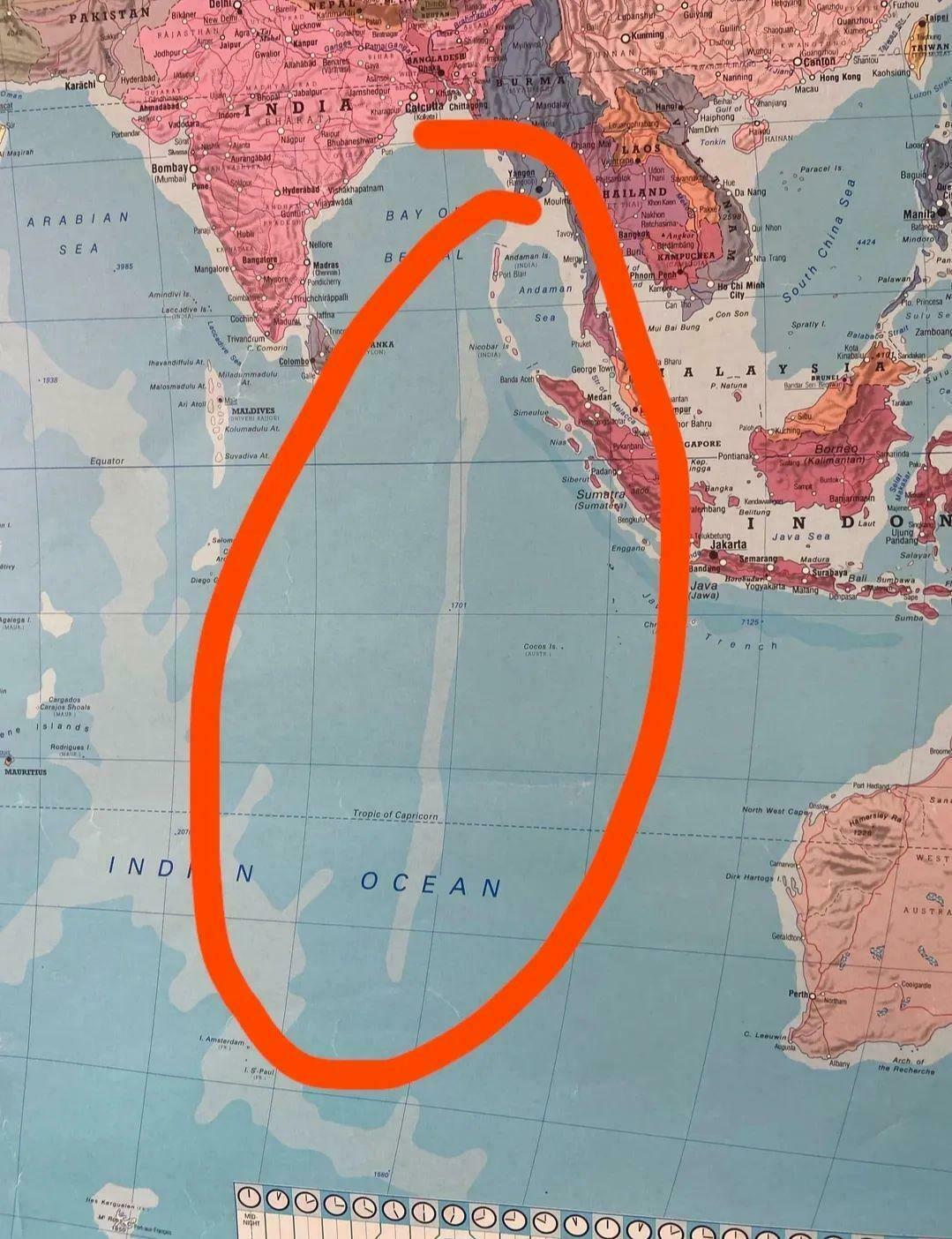
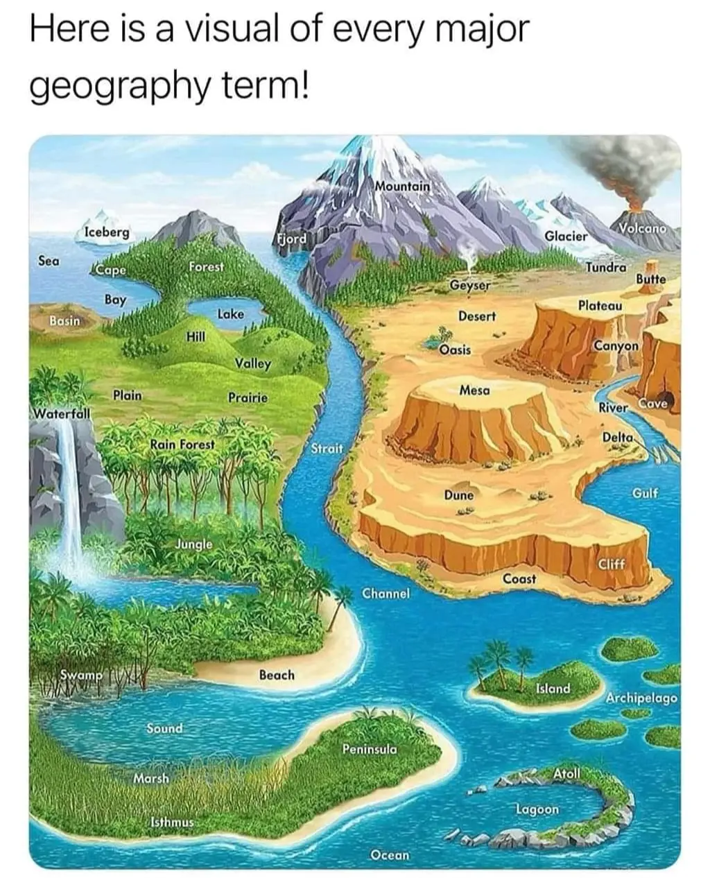
!['Thank you for the loveliest evening I've ever had...' [normal] '...east of the Mississippi.' [instant intrigue!] xkcd: Geographic Qualifiers](https://imgs.xkcd.com/comics/geographic_qualifiers.png)
