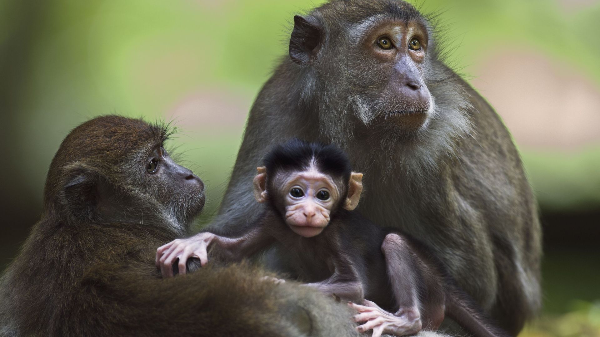
Maltraitance animale : une enquête de la BBC met au jour un réseau mondial de torture de singes
#maltraitance-animale #enquête #bbc #réseau #torture #singes #investigation #états-unis #royaume-uni #usa #uk #grande-bretagne #indonésie #macaques #youtube #telegram #infiltration #torture-extrême #sadisme #justice #oregon #vidéos #mains-sales #mains-sanglantes #alabama #facebook #violence #droits-humains #liberté-d-expression #loi #action-for-primates #environnement
2 Comments
1 Shares